
Photo Credits (5)
Difficulty
Moderate
Trail Length
2.4 miles
Trail Type
Out And Back
Elevation Gain
350 ft
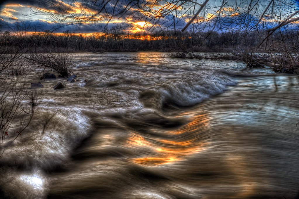
About Scudders Falls
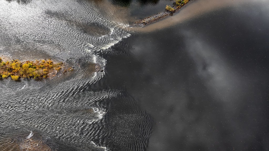
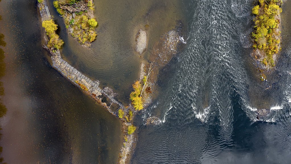
Scudders Falls is a series of rapids located on the Delaware River near the border of Pennsylvania and New Jersey. It is not a traditional waterfall but rather a set of cascading rapids that are popular for scenic views and recreational activities like kayaking.
The Setting
Scudders Falls sits at 23 feet along the Neshaminy Creek, in the coastal lowlands of Pennsylvania.
Trail & Hike Details
The Approach
The moderate 2.4-mile out-and-back trail gains 350 feet of elevation on the way to the falls.
Trail Description
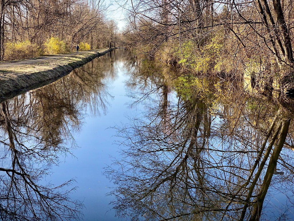
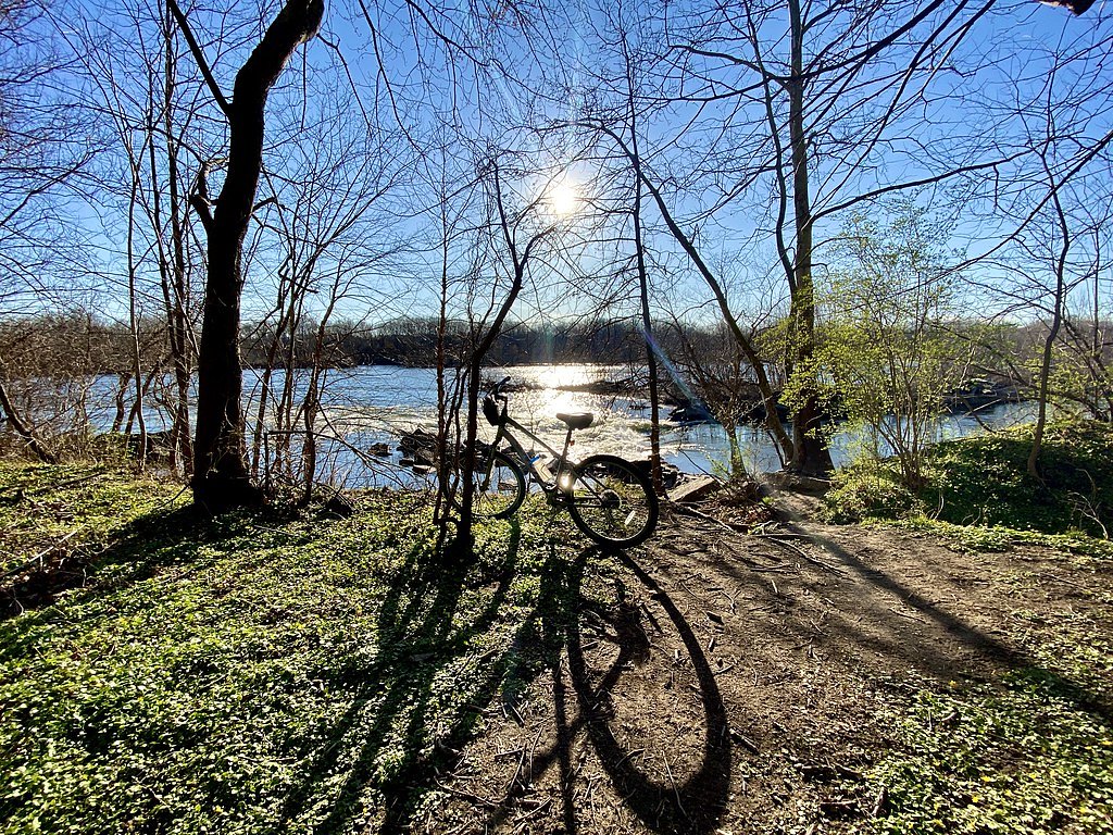
The area around Scudders Falls is part of the Delaware Canal Towpath, which offers flat, easy trails suitable for walking, biking, and enjoying the scenic views of the Delaware River. The trails are well-maintained and provide access to the riverbank.
What to Expect
Dogs are welcome.
Accessibility
The trail is not wheelchair accessible. Uneven terrain and elevation changes require steady footing.
Frequently Asked Questions
🐶 Are Dogs Allowed at Scudders Falls?
✅ Dogs are allowed
Are There Any Fees or Permits Required?
🆖 No fees required
🏊 Is There Swimming at Scudders Falls?
❌ Swimming is not allowed
When to Visit
Spring and fall are ideal for visiting due to pleasant weather and vibrant foliage. Summer is also popular for water activities.
Seasonal Access
The best time to visit is Spring, Summer, Fall, and Winter.
Safety Information
Exercise caution near the riverbank as the currents can be strong. If kayaking, always wear a life jacket and check water conditions before entering the river.
Current Water Conditions
69 ft³/s
Current discharge — how much water is flowing
About average for this time of year
Based on 7 years of record
5.14 ft
Water depth at gauge
7-Day Discharge Trend
What does this mean for your visit?
Flow is about average for this time of year.
About This Gauge
This gauge is on a nearby waterway and may not reflect exact conditions at the falls.
7-Day Flow Outlook
Based on the USGS gauge Neshaminy Creek near Penns Park, PA (13 km away).
Today
Barely Flowing
72 cfs
5/10Tomorrow
Barely Flowing
55 cfs
5/10Tue
Barely Flowing
80 cfs
5/10Wed
Barely Flowing
60 cfs
5/10Thu
Barely Flowing
51 cfs
5/10Fri
Low
50 cfs
4/10Sat
Low
73 cfs
3/10Best window: Today — barely flowing flow, sunny (trip score 5/10).
Best time of year: this gauge typically runs highest from late February to early April, peaking in March.
How we calculate this
This is a transparent outlook, not a precise forecast. We take the waterfall's current flow strength (how it ranks against its historical normal for today, from the nearest USGS stream gauge), carry that ranking forward along the gauge's seasonal curve, and nudge it for forecast rain. Confidence is highest for the next day or two and falls further out. Always check official conditions and your own judgment before visiting — high flows can be dangerous.
Know when to go.
Get a free email alert when waterfalls near Washington Crossing hit peak flow. We only send when conditions are worth the trip — no weekly newsletters, no spam.
Weather Forecast
Location & Access
Getting There
Scudders Falls is accessible via the Scudders Falls Bridge, which connects Pennsylvania and New Jersey along Interstate 295. The area can be reached by parking near the Delaware Canal Towpath or nearby parks.
Get Directions on Google MapsParking
Parking is available at nearby trailheads along the Delaware Canal Towpath or in designated areas near the Scudders Falls Bridge.
Elevation
23 feet above sea level
Coordinates
40.267052° N, -74.852664° W
Visitor Tips & Gear
Wear comfortable walking shoes and bring binoculars for birdwatching. If kayaking, ensure you have the proper safety equipment and check water conditions beforehand.
As an Amazon Associate, we earn from qualifying purchases.
With 2.4 miles and 350 ft of elevation gain, sturdy boots and trekking poles will help on this moderate trail. Icy conditions are common in winter — traction cleats are a smart addition.

Columbia Watertight II Rain Jacket
Packs into its own pocket, seam-sealed, and keeps you dry from spray and surprise rain.

Polarized Sunglasses (Knockaround)
Cuts glare off the water so you actually see the falls — and your photos turn out better too.

Earth Pak Waterproof Dry Bag
Keeps your phone and gear dry when waterfall mist soaks everything else.

Waterproof Phone Pouch (AiRunTech)
Cheap insurance — take photos right next to the falls without killing your phone.

Timberland Euro Sprint Mid Waterproof
Trusted waterproof boot with premium leather and grippy rubber sole — reliable on rocky, wet trails.

TrailBuddy Trekking Poles
Lightweight aluminum, cork grips, and flip-locks that actually hold — a best-seller for good reason.
Where to Stay

Homewood Suites by Hilton Newtown - Langhorne, PA

Holiday Inn Express Hotel & Suites Warminster-Horsham by IHG

SpringHill Suites Ewing Township Princeton South

Hampton Inn & Suites Newtown
Browse vacation cabins and private rentals nearby
Unique outdoor stays — tents, yurts, and treehouses
Rent a campervan or RV for your waterfall road trip
Some links are affiliate links. We may earn a commission at no extra cost to you.
Additional Information
Nearby Attractions
Delaware Canal State Park, Washington Crossing Historic Park, and the New Jersey side of the Delaware River.
Wildlife
The area is home to various bird species, including herons and eagles, as well as other river wildlife.
Cities near Scudders Falls
Writing about Scudders Falls? Embed this waterfall on your site for free.