
Photo Credits (5)
Difficulty
Moderate
Trail Length
2.4 miles
Trail Type
Out And Back
Elevation Gain
350 ft
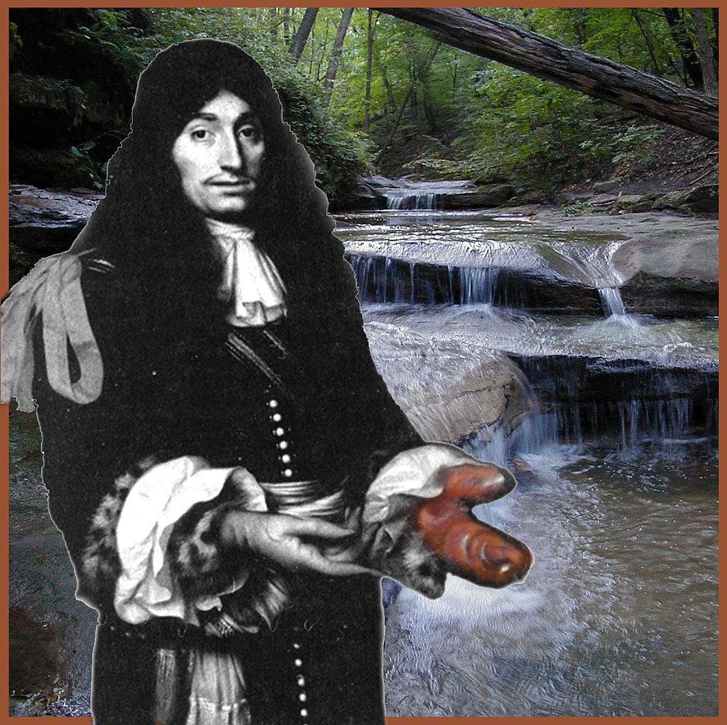
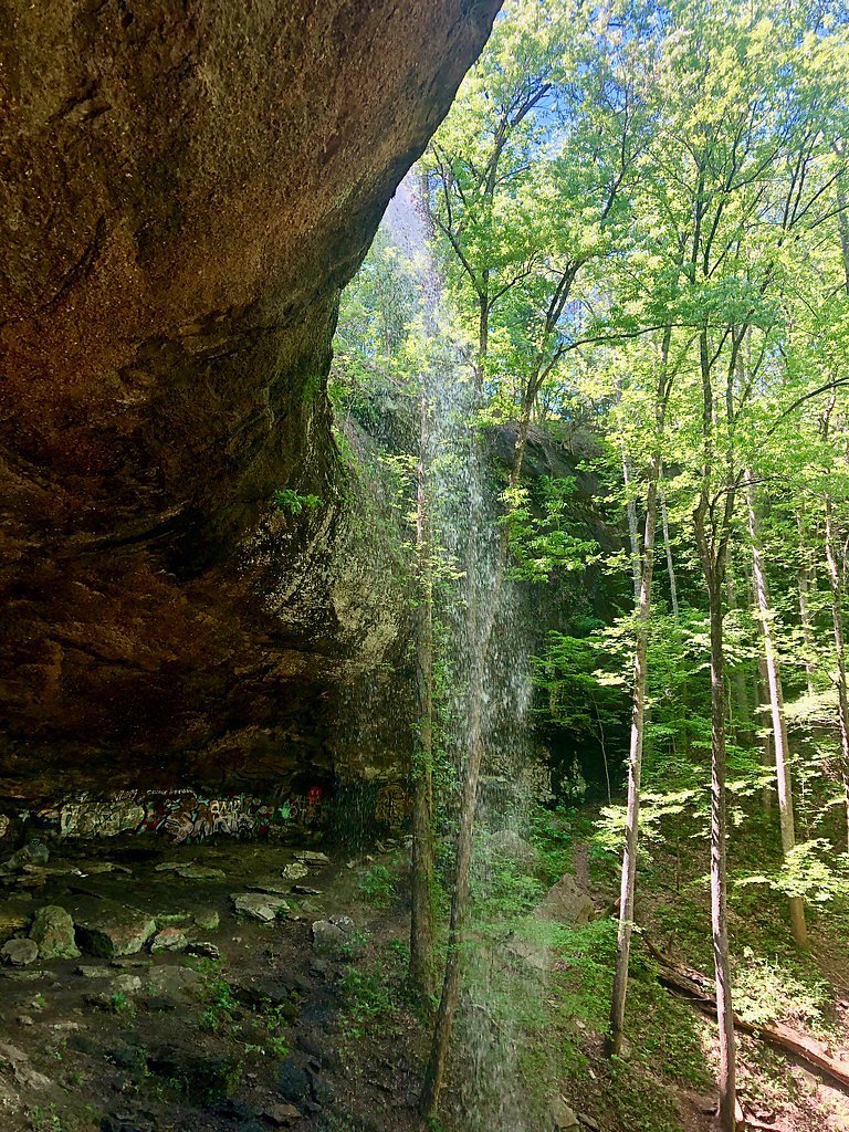
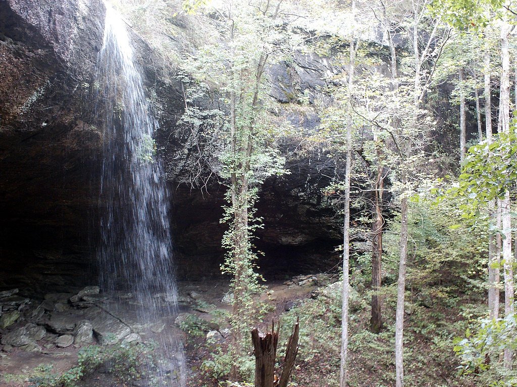
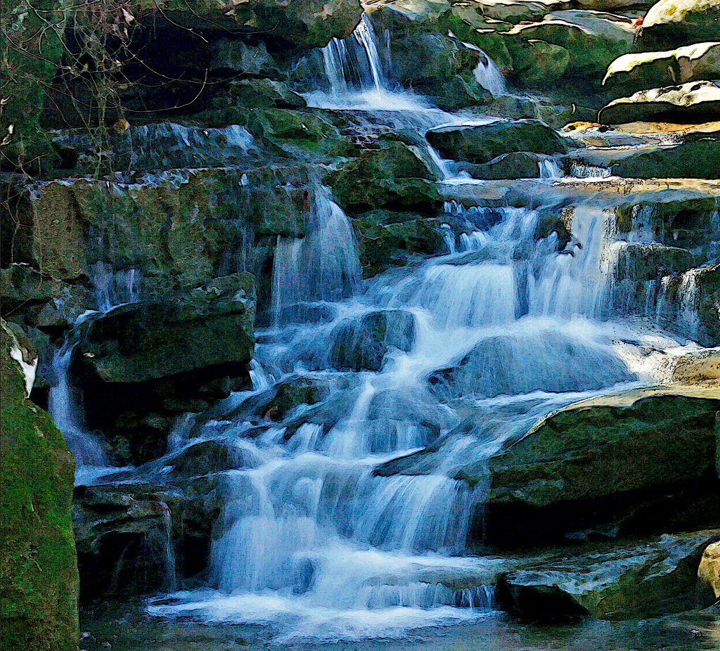
About Rock Falls
Rock Falls is a picturesque waterfall located in Alabama, known for its serene surroundings and natural beauty. The waterfall cascades over a rocky ledge into a clear pool below, making it a popular spot for nature enthusiasts and photographers.
The Setting
Rock Falls sits at 121 feet along the Choctawhatchee River, in the coastal lowlands of Alabama.
Trail & Hike Details
The Approach
The moderate 2.4-mile out-and-back trail gains 350 feet of elevation on the way to the falls.
Trail Description
The trail to Rock Falls is a short and relatively easy hike, suitable for most visitors. It winds through a wooded area with some uneven terrain, leading to the base of the waterfall. The path may be muddy or slippery after rain, so proper footwear is advised.
What to Expect
Dogs are welcome.
Accessibility
The trail is not wheelchair accessible. Uneven terrain and elevation changes require steady footing.
Frequently Asked Questions
🐶 Are Dogs Allowed at Rock Falls?
✅ Dogs are allowed
Are There Any Fees or Permits Required?
🆖 No fees required
🏊 Is There Swimming at Rock Falls?
❌ Swimming is not allowed
When to Visit
Spring and fall are the best times to visit, as the weather is mild and the waterfall flow is typically stronger due to seasonal rainfall.
Seasonal Access
The best time to visit is Spring, Summer, and Fall. Winter access may be limited.
Safety Information
Exercise caution on slippery rocks near the waterfall. Avoid visiting during heavy rain or immediately after storms, as the trail may become hazardous. Always supervise children near the water.
Current Water Conditions
Based on a USGS gauge 31 miles away
262 ft³/s
Current discharge — how much water is flowing
About average for this time of year
Based on 97 years of record
3.81 ft
Water depth at gauge
7-Day Discharge Trend
What does this mean for your visit?
Flow is about average for this time of year.
About This Gauge
This gauge is on a regional waterway. Conditions at the falls may differ, especially after local rain.
7-Day Flow Outlook
Based on the USGS gauge CHOCTAWHATCHEE RIVER NEAR NEWTON, AL. (50 km away).
Today
Low
299 cfs
3/10Tomorrow
Barely Flowing
298 cfs
5/10Thu
Barely Flowing
261 cfs
5/10Fri
Barely Flowing
282 cfs
5/10Sat
Low
296 cfs
3/10Sun
Low
345 cfs
3/10Mon
Low
343 cfs
3/10Best window: Tomorrow — barely flowing flow, sunny (trip score 5/10).
Best time of year: this gauge typically runs highest from late January to mid April, peaking in March.
How we calculate this
This is a transparent outlook, not a precise forecast. We take the waterfall's current flow strength (how it ranks against its historical normal for today, from the nearest USGS stream gauge), carry that ranking forward along the gauge's seasonal curve, and nudge it for forecast rain. Confidence is highest for the next day or two and falls further out. Always check official conditions and your own judgment before visiting — high flows can be dangerous.
Know when to go.
Get a free email alert when waterfalls near Columbia hit peak flow. We only send when conditions are worth the trip — no weekly newsletters, no spam.
Weather Forecast
Location & Access
Getting There
Rock Falls is located near the town of Haleyville, Alabama. Access is typically via a short drive from nearby highways, but specific directions may vary depending on the starting point. Visitors should consult local maps or GPS for the most accurate route.
Get Directions on Google MapsParking
Parking is available near the trailhead, but the size and availability of parking spaces may be limited, especially during peak seasons.
Elevation
121 feet above sea level
Coordinates
31.234345° N, -85.100763° W
Visitor Tips & Gear
Visit early in the day to avoid crowds and secure parking. Wear sturdy shoes, especially if visiting after rain, as the trail can be slippery. Bring water and snacks, as there are no facilities nearby.
As an Amazon Associate, we earn from qualifying purchases.
With 2.4 miles and 350 ft of elevation gain, sturdy boots and trekking poles will help on this moderate trail. Sun exposure on the trail makes good sun protection a must in summer.

Polarized Sunglasses (Knockaround)
Cuts glare off the water so you actually see the falls — and your photos turn out better too.

Columbia Watertight II Rain Jacket
Packs into its own pocket, seam-sealed, and keeps you dry from spray and surprise rain.

Earth Pak Waterproof Dry Bag
Keeps your phone and gear dry when waterfall mist soaks everything else.

Waterproof Phone Pouch (AiRunTech)
Cheap insurance — take photos right next to the falls without killing your phone.

Timberland Euro Sprint Mid Waterproof
Trusted waterproof boot with premium leather and grippy rubber sole — reliable on rocky, wet trails.

TrailBuddy Trekking Poles
Lightweight aluminum, cork grips, and flip-locks that actually hold — a best-seller for good reason.
Where to Stay

La Quinta inn & suites by Wyndham Dothan

stayAPT Suites Dothan

Hilton Garden Inn Dothan

Hampton Inn & Suites Dothan
Browse vacation cabins and private rentals nearby
Unique outdoor stays — tents, yurts, and treehouses
Rent a campervan or RV for your waterfall road trip
Some links are affiliate links. We may earn a commission at no extra cost to you.
Additional Information
Nearby Attractions
Nearby attractions include Dismals Canyon, a National Natural Landmark known for its unique rock formations and bioluminescent creatures called Dismalites.
Wildlife
The area is home to various bird species, small mammals, and reptiles. Visitors may also encounter insects such as mosquitoes, especially in warmer months.
Cities near Rock Falls
Other waterfalls named Rock Falls
3 other waterfalls share this name across the U.S.
Writing about Rock Falls? Embed this waterfall on your site for free.