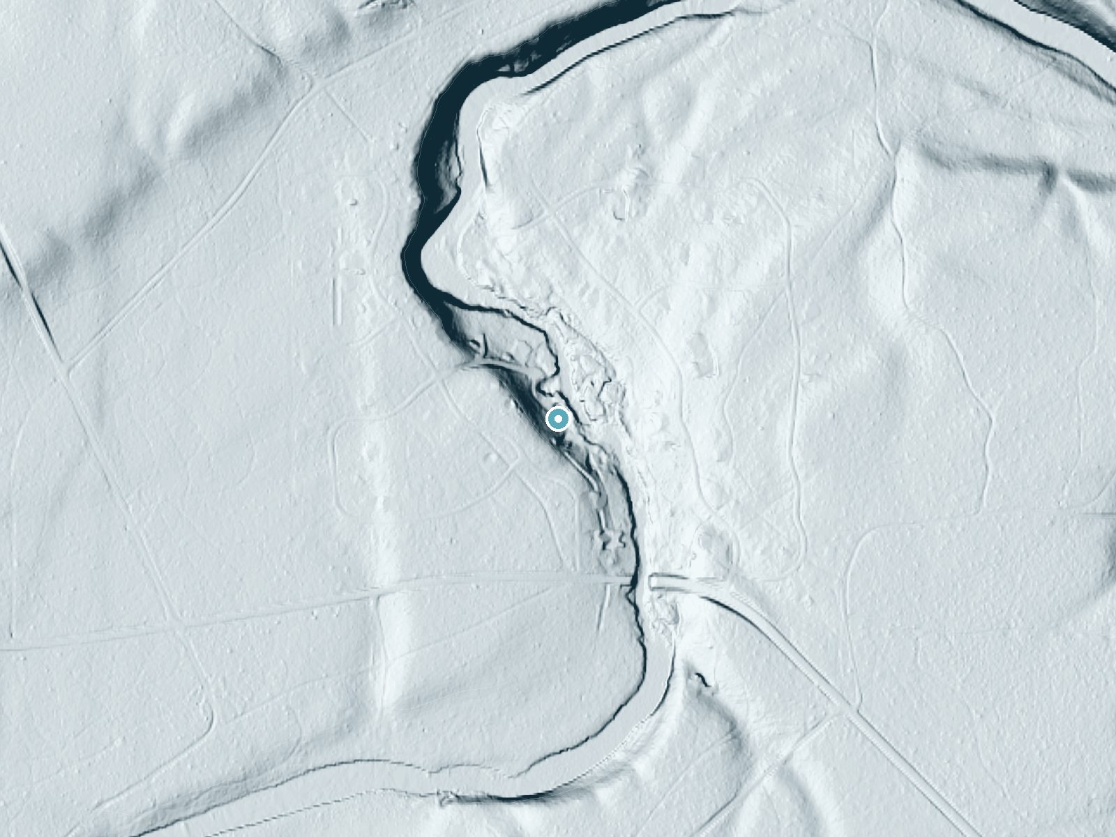
 LiDAR terrain view · USGS 3DEP
Difficulty
Easy
Trail Length
0.5 miles
Trail Type
Out And Back
About Pringle Falls
Pringle Falls is a series of rapids and drops on the upper Deschutes River in central Oregon rather than a single vertical waterfall. The river enters about 600 feet (180 m) of whitewater rated Class II (novice), followed by roughly 300 feet (91 m) of Class III (intermediate) that culminates in a Class IV (advanced) drop. These ratings come from the Deschutes River descriptions on Wikipedia and are echoed in paddling guides — Soggy Sneakers cautions that only expert kayakers should consider the final drop and only after scouting the line. The falls and the stretch of river are within the Deschutes unit of the Oregon Wild and Scenic River (WSR) and are managed by the U.S. Forest Service. Hikers and day visitors will find easy access from the nearby Wyeth Campground (about 0.5 km away), making this a good stop for campers who want to watch dynamic whitewater from shore rather than attempt it on a boat. The site is rewarding for river viewing and photography; watercraft passage here is best left to experienced paddlers familiar with Class III–IV conditions.
The Setting
Pringle Falls sits at 4,232 feet within Deschutes, Oregon Wild and Scenic River, in the mountains of Oregon.
Trail & Hike Details
Trail Description
Trail type: out-and-back. Length: 2.4 miles (round trip). Elevation gain: ~350 ft. Difficulty: moderate. The route to Pringle Falls follows a maintained hiking path from the vicinity of Wyeth Campground (the rapids begin just downstream of the campground). The trail is non-technical, with a steady grade over the ascent—suitable for most moderately fit hikers and families prepared for a moderate uphill return. Note: the river itself presents challenging whitewater; the trail provides river access and viewpoints but does not reduce the water hazards for paddlers.
What to Expect
Dogs are welcome.
Accessibility
The trail is short and relatively flat, but the surface may be uneven. Contact the managing agency for accessibility details.
Frequently Asked Questions
🐶 Are Dogs Allowed at Pringle Falls?
✅ Dogs are allowed
Are There Any Fees or Permits Required?
🆖 No fees required
🏊 Is There Swimming at Pringle Falls?
❌ Swimming is not allowed
When to Visit
Spring and summer are the best times to visit, as the weather is pleasant and the river flow is typically higher, enhancing the beauty of the falls.
Seasonal Access
The best time to visit is Spring, Summer, and Fall. Winter access may be limited.
Safety Information
Exercise caution near the riverbank as rocks can be slippery. Be aware of strong currents in the river. Cell phone service may be limited in the area.
Know when to go.
Get a free email alert when waterfalls near La Pine hit peak flow. We only send when conditions are worth the trip — no weekly newsletters, no spam.
Weather Forecast
The Terrain, Seen by LiDAR
Aircraft-mounted lasers measured this ground to within inches. Trees and buildings are digitally stripped away, leaving the bare shape of the land the water has carved.
3-meter lidar shows the creek losing roughly 56 feet through Pringle Falls over a long run of ledges. Elevation at the pin is about 4,231 feet.
The ground changes about 28 feet in the 500 feet above the falls and 14 feet in the 500 feet below. Facing northeast, the falls stay mostly shaded, with soft, even light all day.
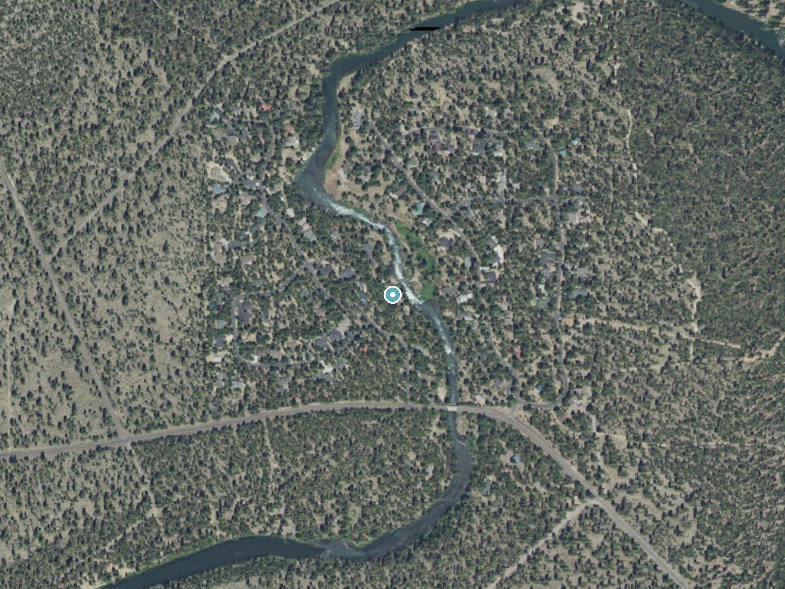
Drag to compare. The dot marks the waterfall. The frame is about a mile across.
- Ground elevation
- 4,231 feet
- Measured by 3-meter lidar
- Drop at the falls
- About 56 feet
- Change in ground height within ~250 feet of the falls
- Faces
- Northeast
- Mostly shaded, so the light stays soft and even all day.
A slice through the lidar ground surface, from above the falls to downstream (heading northeast).
Elevation data: USGS 3D Elevation Program. Aerial imagery: USGS The National Map. Public domain.
Location & Access
Getting There
Pringle Falls is located approximately 15 miles southwest of Bend, Oregon. It can be accessed via Forest Road 4360, which is a gravel road. Visitors should follow signs for the Pringle Falls Campground and Day Use Area.
Get Directions on Google MapsParking
There is a small parking area near the Pringle Falls Campground and Day Use Area. Parking availability may be limited during peak seasons.
Elevation
4,232 feet above sea level
Coordinates
43.743175° N, -121.608360° W
Land Management
Managed by USFS
Visitor Tips & Gear
Bring insect repellent during the summer months as mosquitoes can be present. Wear sturdy shoes as the trail may have uneven sections near the riverbank.
Where to Stay

Loft home with private hot tub deck grill fireplace & 10 SHARC passes

Cabin with Private Hot Tub Near the Deschutes River - Free SHARC access
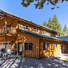
DiamondStone Guest Lodges

2 Tennis Village..
Browse vacation cabins and private rentals nearby
Unique outdoor stays — tents, yurts, and treehouses
Rent a campervan or RV for your waterfall road trip
Some links are affiliate links. We may earn a commission at no extra cost to you.
Nearby Campground
WYETH CAMPGROUND - DESCHUTES
0.3 miles away · 5 sites
Overview Wyeth Campground is a small campground located along the Deschutes River just downstream from Wickiup Reservoir. Please note that there are two US Forest Service campgrounds named "Wyeth" in Oregon. This one is on the Deschutes National Forest along the Deschutes River. The other is located within the Columbia River Gorge National Scenic Area. Please make sure that you choose the one you intend to stay in. Recreation Paddling and fishing are popular activities in this area. Motorized boa
Book on Recreation.govNearby Hot Springs
Hot springs near Bend, Oregon
Paulina Springs
Paulina Springs emerges at 70°F within Newberry National Volcanic Monument in Deschutes County, flowing at 6,338 feet elevation...

East Lake Hot Springs
East Lake Hot Springs emerges at 144°F on the shore of East Lake within the Newberry Volcano caldera, flowing 103.8°F above the...

Mccredie Springs
McCredie Springs flows at 163°F along Salt Creek in the Willamette National Forest, creating one of western Oregon's most popul...
Wall Creek Warm Springs
Wall Creek Warm Springs flows at 106°F deep within Willamette National Forest at 2,362 feet elevation on the western Cascades s...
Kitson Hot Springs
Kitson Hot Springs flows at 109°F within Willamette National Forest at 1,664 feet elevation, positioned just 17 meters from For...
Belknap Springs
Belknap Springs flows at 160°F along the McKenzie River in the Cascade Range, emerging just 510 feet from North Belknap Springs...
Looking for a soak after your hike? Explore more hot springs near Bend, Oregon on SoakingSprings.
Explore Oregon springsAdditional Information
Nearby Attractions
Nearby attractions include the Deschutes National Forest, Lava River Cave, and Newberry National Volcanic Monument.
Wildlife
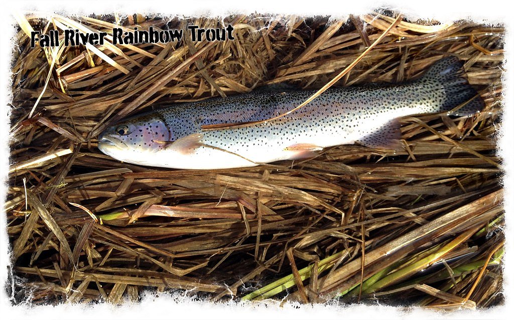
The area is home to a variety of wildlife, including deer, birds, and small mammals. Visitors may also spot fish in the river.
Cities near Pringle Falls
Nearby Waterfalls
Writing about Pringle Falls? Embed this waterfall on your site for free.