
Petrero Waterfall
By Armen Suny · Last verified May 2026
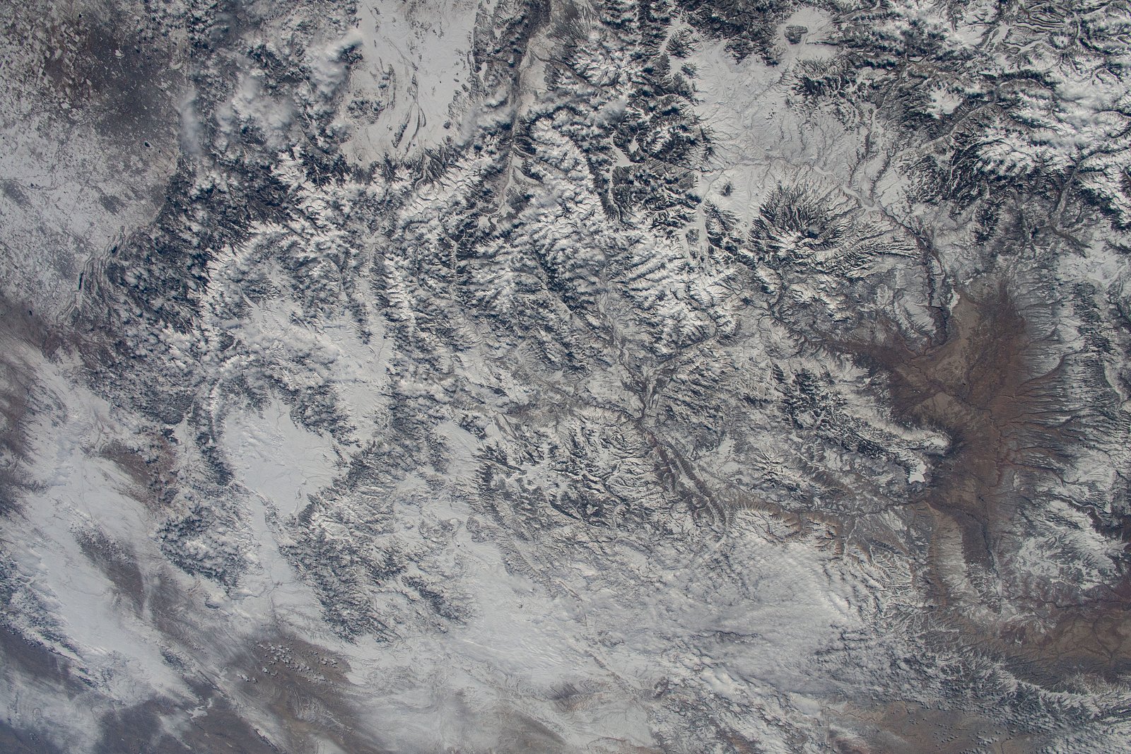
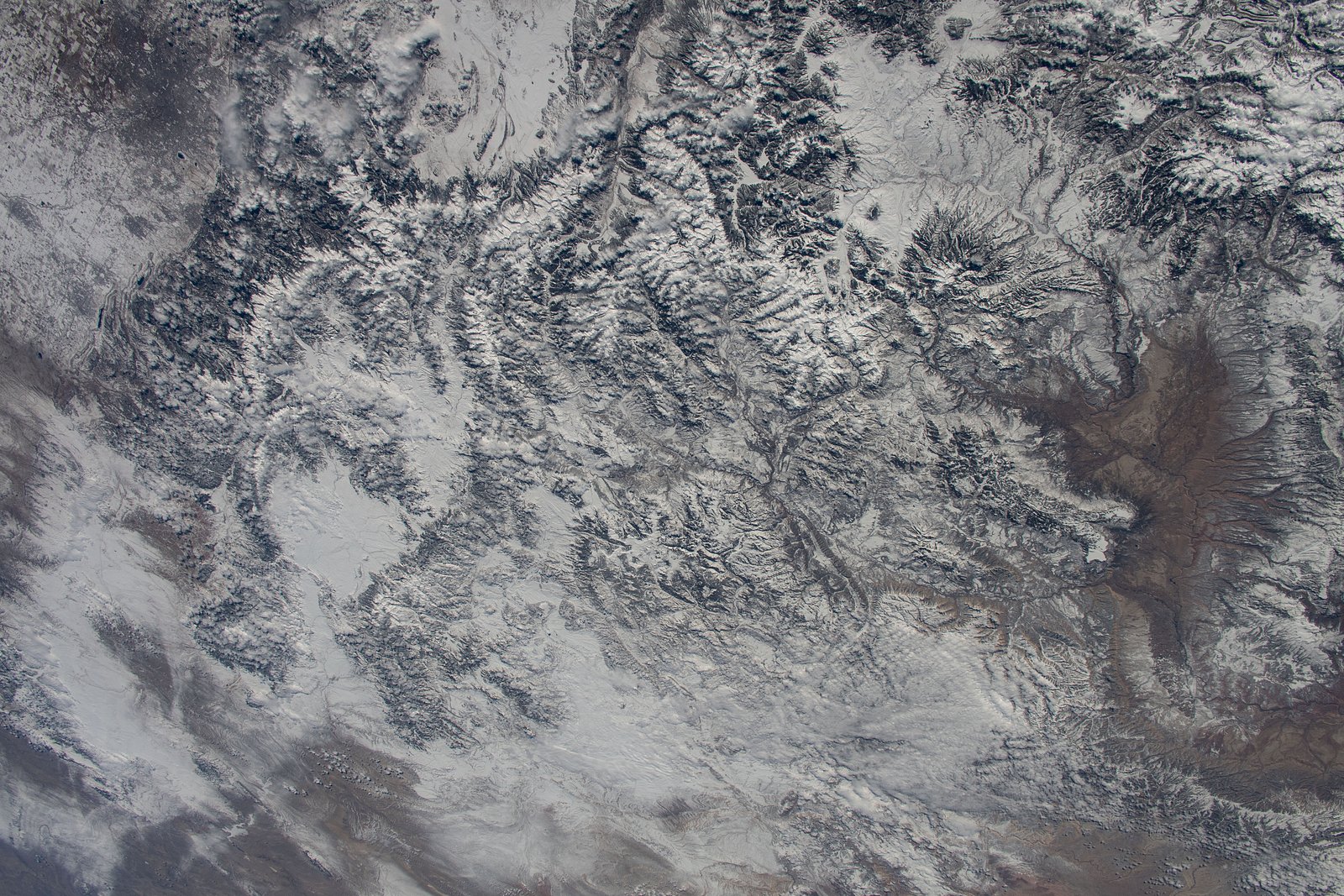

Photo Credits (5)
Difficulty
Moderate
Trail Length
2.0 miles
Trail Type
Out And Back
Elevation Gain
300 ft
About Petrero Waterfall
Petrero Waterfall is a lesser-known cascade tucked into the high-desert/forest transition of northern New Mexico. Nestled within Carson National Forest and managed by the U.S. Forest Service, the falls are framed by rugged sandstone outcrops and piñon-juniper vegetation, offering a quiet, scenic reward for visitors who seek solitude. Water flow is seasonal—spring snowmelt and summer rains bring the most dramatic cascades—so timing your visit can make a big difference in the experience. The approach is an accessible, off-the-beaten-path outing: the route is roughly 2.0 miles round-trip with about 300 feet of elevation gain, rated moderate. If you plan to camp, the nearest developed option is the El Rito RD campground about 6.53 km away, making Petrero a nice half-day hike with nearby overnight possibilities. Because the trail can be lightly marked in places, bring a map or GPS and expect rocky, uneven footing in spots.
The Setting
Petrero Waterfall sits at 7,543 feet within Carson National Forest, in the high mountains of New Mexico.
Trail & Hike Details
The Approach
The moderate 2.0-mile out-and-back trail gains 300 feet of elevation on the way to the falls.
Trail Description
Out-and-back, approximately 2.0 miles total with roughly 300 feet of elevation gain; difficulty: moderate. The route traverses rocky, uneven terrain and typical desert/forest transition vegetation (piñon, juniper, sage), and sections may be lightly marked or indistinct—carry a map or GPS. Trail surface is natural singletrack and rock; expect some loose rock and short steeper pitches but no technical scrambling. Water flow at the falls varies by season (strongest in spring/after rains). Nearest developed camping: El Rito RD, about 6.53 km from the trailhead.
What to Expect
Visitors can expect a peaceful hike through a remote area with stunning desert scenery. The waterfall itself may be seasonal, with higher flow during spring and after rainfall. Wildlife sightings are possible, and the area is known for its rugged beauty.
Accessibility
The trail is not wheelchair accessible. Uneven terrain and elevation changes require steady footing.
Frequently Asked Questions
🐶 Are Dogs Allowed at Petrero Waterfall?
❌ Dogs are not allowed
Are There Any Fees or Permits Required?
🆖 No fees required
🏊 Is There Swimming at Petrero Waterfall?
❌ Swimming is not allowed
When to Visit
Spring and early summer are typically the best times to visit, as the waterfall is more likely to have water flow during these seasons.
Seasonal Access
The best time to visit is Spring, Summer, and Fall. Access roads and trails may close during winter due to snow. Watch for flash flood warnings during monsoon season (July through September). Check with Carson National Forest for seasonal road closures.
Safety Information
Visitors should be aware of potential hazards such as flash floods, extreme heat, and limited cell service. Always inform someone of your plans before heading out and carry sufficient supplies.
Current Water Conditions
4 ft³/s
Current discharge — how much water is flowing
Much lower than usual for this time of year
Based on 92 years of record
2.35 ft
Water depth at gauge
7-Day Discharge Trend
What does this mean for your visit?
Flow is well below normal for this time of year, so the waterfall may be a trickle.
About This Gauge
This gauge is on a nearby waterway and may not reflect exact conditions at the falls.
7-Day Flow Outlook
Based on the USGS gauge RIO OJO CALIENTE AT LA MADERA, NM (16 km away).
Today
Moderate
4 cfs
8/10Tomorrow
Moderate
4 cfs
8/10Mon
Moderate
3 cfs
8/10Tue
Moderate
3 cfs
8/10Wed
Moderate
3 cfs
8/10Thu
Moderate
3 cfs
8/10Fri
Moderate
3 cfs
8/10Best window: Today — moderate flow, sunny (trip score 8/10).
Best time of year: this gauge typically runs highest from early March to early June, peaking in April.
How we calculate this
This is a transparent outlook, not a precise forecast. We take the waterfall's current flow strength (how it ranks against its historical normal for today, from the nearest USGS stream gauge), carry that ranking forward along the gauge's seasonal curve, and nudge it for forecast rain. Confidence is highest for the next day or two and falls further out. Always check official conditions and your own judgment before visiting — high flows can be dangerous.
Know when to go.
Get a free email alert when waterfalls near El Rito hit peak flow. We only send when conditions are worth the trip — no weekly newsletters, no spam.
Weather Forecast
Location & Access
Getting There
The waterfall is located in a remote area of New Mexico. Access typically requires driving on dirt roads, and a high-clearance vehicle may be necessary depending on conditions. Exact directions should be verified with local resources or recent visitor reports.
Get Directions on Google MapsParking
Parking availability is limited and may be informal, such as roadside pull-offs. Visitors should ensure they park in designated or safe areas to avoid blocking access.
Elevation
7,543 feet above sea level
Coordinates
36.406962° N, -106.205858° W
Land Management
Managed by USFS
Visitor Tips & Gear
Wear sturdy hiking shoes and bring plenty of water, as the trail can be rocky and exposed to the sun. Check weather conditions before visiting, as flash floods can occur in the area. Cell service may be limited, so plan accordingly.
This trail sits at 7,543 ft above sea level
Elevated TrailUV radiation is roughly 30% stronger at this elevation than at sea level, and the dry air accelerates dehydration. Extra sun protection and fluids go a long way.
As an Amazon Associate, we earn from qualifying purchases.

Coppertone Sport SPF 50 Sunscreen
UV intensity jumps ~4% per 1,000 ft — at this elevation you can burn in half the time.

Sun Bum SPF 30 Lip Balm (3-Pack)
Lips have almost no natural UV protection and burn fast in thin, dry mountain air.

Liquid I.V. Electrolyte Packets
You lose moisture ~2x faster at elevation — electrolytes help you absorb water efficiently.

ROCKNIGHT Polarized UV400 Sunglasses
High-altitude glare off rock and water is intense — UV400 lenses block 99%+ of UVA/UVB.
As an Amazon Associate, we earn from qualifying purchases.
With 2.0 miles and 300 ft of elevation gain, sturdy boots and trekking poles will help on this moderate trail. Sun exposure on the trail makes good sun protection a must in summer.

Polarized Sunglasses (Knockaround)
Cuts glare off the water so you actually see the falls — and your photos turn out better too.

Columbia Watertight II Rain Jacket
Packs into its own pocket, seam-sealed, and keeps you dry from spray and surprise rain.

Earth Pak Waterproof Dry Bag
Keeps your phone and gear dry when waterfall mist soaks everything else.

Waterproof Phone Pouch (AiRunTech)
Cheap insurance — take photos right next to the falls without killing your phone.

Timberland Euro Sprint Mid Waterproof
Trusted waterproof boot with premium leather and grippy rubber sole — reliable on rocky, wet trails.

TrailBuddy Trekking Poles
Lightweight aluminum, cork grips, and flip-locks that actually hold — a best-seller for good reason.
Where to Stay

Lake View Domes LLC

The Grand Hacienda Inn with Breakfast

Tres Piedras Glamping Tipis for a Nature Escape near Taos

Cute Tipi in Tres Piedras for New Mexico Glamping Escapes
Browse vacation cabins and private rentals nearby
Unique outdoor stays — tents, yurts, and treehouses
Rent a campervan or RV for your waterfall road trip
Some links are affiliate links. We may earn a commission at no extra cost to you.
Nearby Campground
Nearby Hot Springs
Hot springs near El Rito, New Mexico
Statue
Statue Spring emerges at 83°F and 6,600 feet elevation in the Carson National Forest, Rio Arriba County, near the community of ...

Ojo Caliente (Arsenic Spring)
Ojo Caliente's Arsenic Spring discharges at 111°F (40°C confirmed by USGS) through water unusually high in sodium (890 mg/L) an...
Ojo Caliente Hot Springs
Ojo Caliente Hot Springs is a group of geothermal springs at 6,220 feet in Rio Arriba County with roadside access just 30 meter...

Manby Hot Springs
Manby Hot Springs discharges 100 °F water into three rock-walled pools with sandy bottoms on BLM land at 6,610 feet in the Rio ...
Manby Hot Springs
This entry represents a second measurement point within the Manby Hot Springs thermal system on BLM land near Arroyo Hondo at 6...
Unnamed Spring Taos County
Black Rock Hot Spring, as mapped by OpenStreetMap, reaches 106 degrees Fahrenheit on BLM land in Taos County — a comfortable so...
Looking for a soak after your hike? Explore more hot springs near El Rito, New Mexico on SoakingSprings.
Explore New Mexico springsAdditional Information
Nearby Attractions
Nearby attractions may include other hiking trails and scenic desert landscapes in the region. Visitors should research local points of interest.
Wildlife
The area is home to desert wildlife, including lizards, birds, and possibly snakes. Visitors should be cautious and respectful of the natural habitat.
Cities near Petrero Waterfall
Writing about Petrero Waterfall? Embed this waterfall on your site for free.