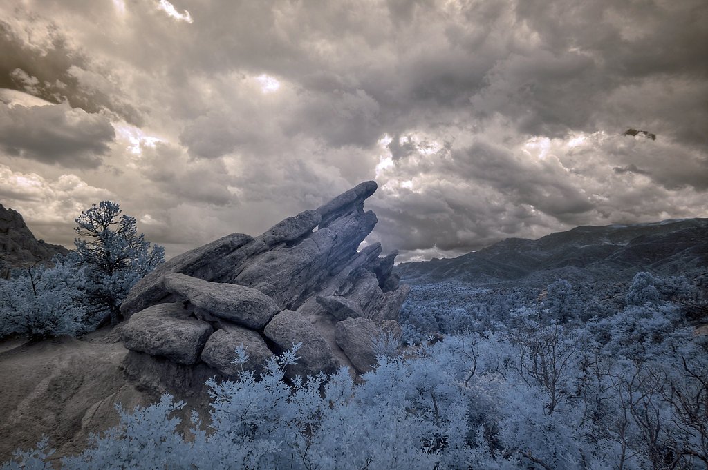
Photo Credits (5)
Difficulty
Easy
Trail Length
0.5 miles
Trail Type
Out And Back
Elevation Gain
100 ft
About Outlet Falls
Outlet Falls is a striking 69-foot plunge in Klickitat County, Washington, located several miles east of the town of Glenwood. The cascade pours from Outlet Creek into a huge basalt bowl at the head of Klickitat Canyon — a canyon the creek has eroded into an approximately 200-foot-deep chasm. Outlet Creek’s flow is sustained by several spring-fed tributaries and by agricultural runoff from surrounding farmland, giving the falls a perennial character. The falls sit on the Yakama Nation Reservation (land owner: DESG) and are managed by the tribal authorities (designation: TRIBL, manager: TRIB), so visitors should be respectful of tribal land and regulations. Remote and dramatic, Outlet Falls is a rewarding short outing for photographers and anyone looking for a quiet, scenic overlook into Klickitat Canyon.
The Setting
Outlet Falls sits at 1,604 feet within Yakama Nation Reservation, in the hills of Washington. The falls drop 69 feet.
Height: 69 feet
Trail & Hike Details
The Approach
The easy 0.5-mile out-and-back trail gains 100 feet of elevation on the way to the falls.
Trail Description
The trail to Outlet Falls is a short 0.5-mile out-and-back with roughly 100 feet of elevation change and is generally rated easy. The route features a slight descent to a viewing area that looks down into the bowl where the 69-foot plunge meets Klickitat Canyon. The path can be uneven and slippery, especially after rain, so use caution on the approach. There is no USFS trail number or detailed USFS surface/grade/class data listed for this route.
What to Expect
The falls drop 69 feet. Dogs are welcome.
Accessibility
The trail is short and relatively flat, but the surface may be uneven. Contact the managing agency for accessibility details.
Frequently Asked Questions
🐶 Are Dogs Allowed at Outlet Falls?
✅ Dogs are allowed
Are There Any Fees or Permits Required?
🆖 No fees required
🏊 Is There Swimming at Outlet Falls?
❌ Swimming is not allowed
When to Visit
Spring and early summer are the best times to visit Outlet Falls, as the water flow is typically strongest during these seasons.
Seasonal Access
The best time to visit is Spring, Summer, and Fall. Winter access may be limited.
Safety Information
Exercise caution near the canyon edge, as there are no guardrails. The trail can be slippery after rain. Cell service may be limited in the area, so plan accordingly.
Know when to go.
Get a free email alert when waterfalls near Glenwood hit peak flow. We only send when conditions are worth the trip — no weekly newsletters, no spam.
Weather Forecast
The Terrain, Seen by LiDAR
Aircraft-mounted lasers measured this ground to within inches. Trees and buildings are digitally stripped away, leaving the bare shape of the land the water has carved.
Along the line through the falls, the bare ground drops about 213 feet, most of it in one sheer step, the signature of a plunge waterfall. The falls are listed at 69 feet; the extra comes from the ravine that continues below the base. The ground at the falls is roughly 1,614 feet above sea level.
The ground changes about 50 feet in the 500 feet above the falls and 97 feet in the 500 feet below. Facing east, the falls catch soft morning light.
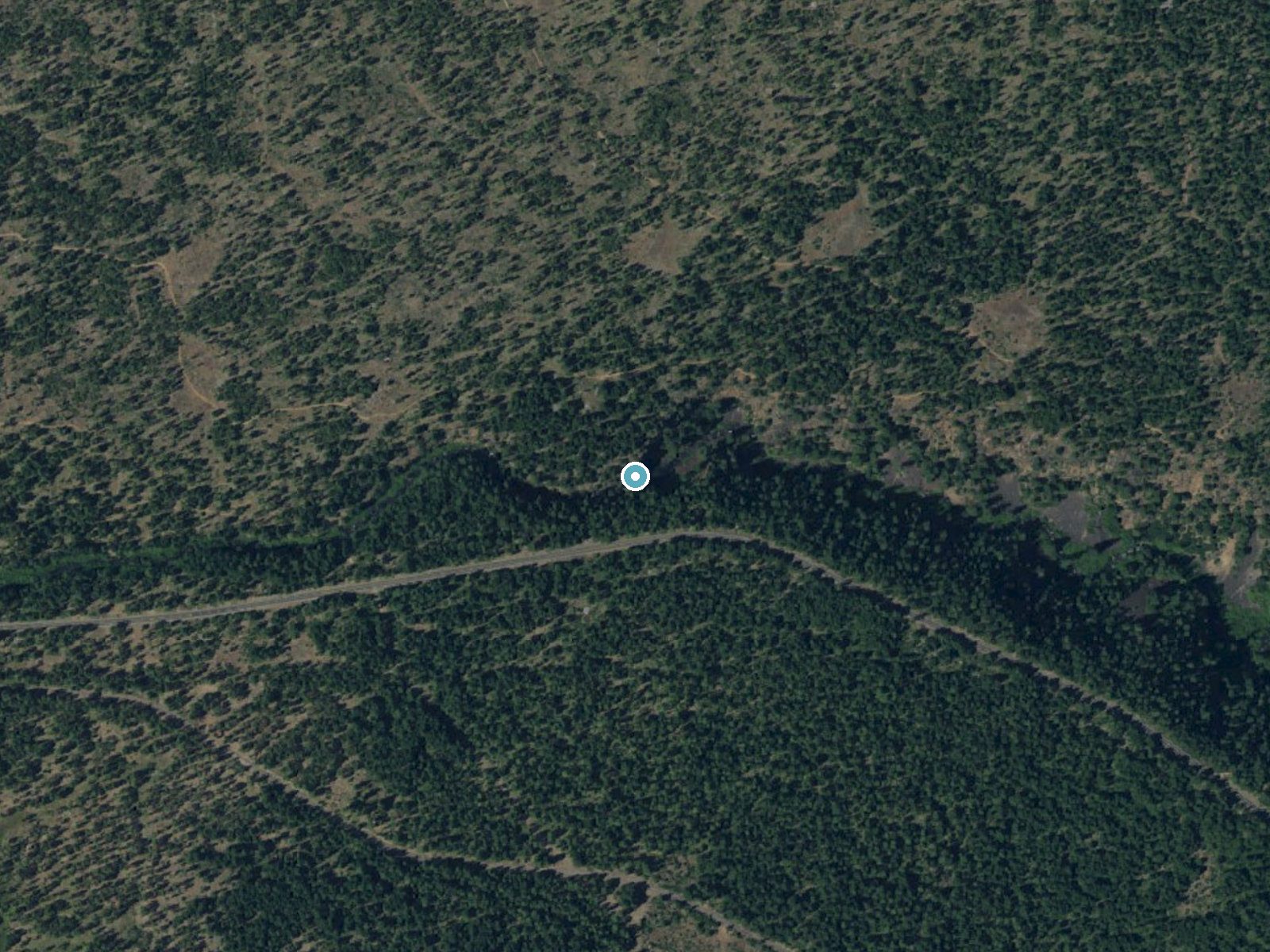
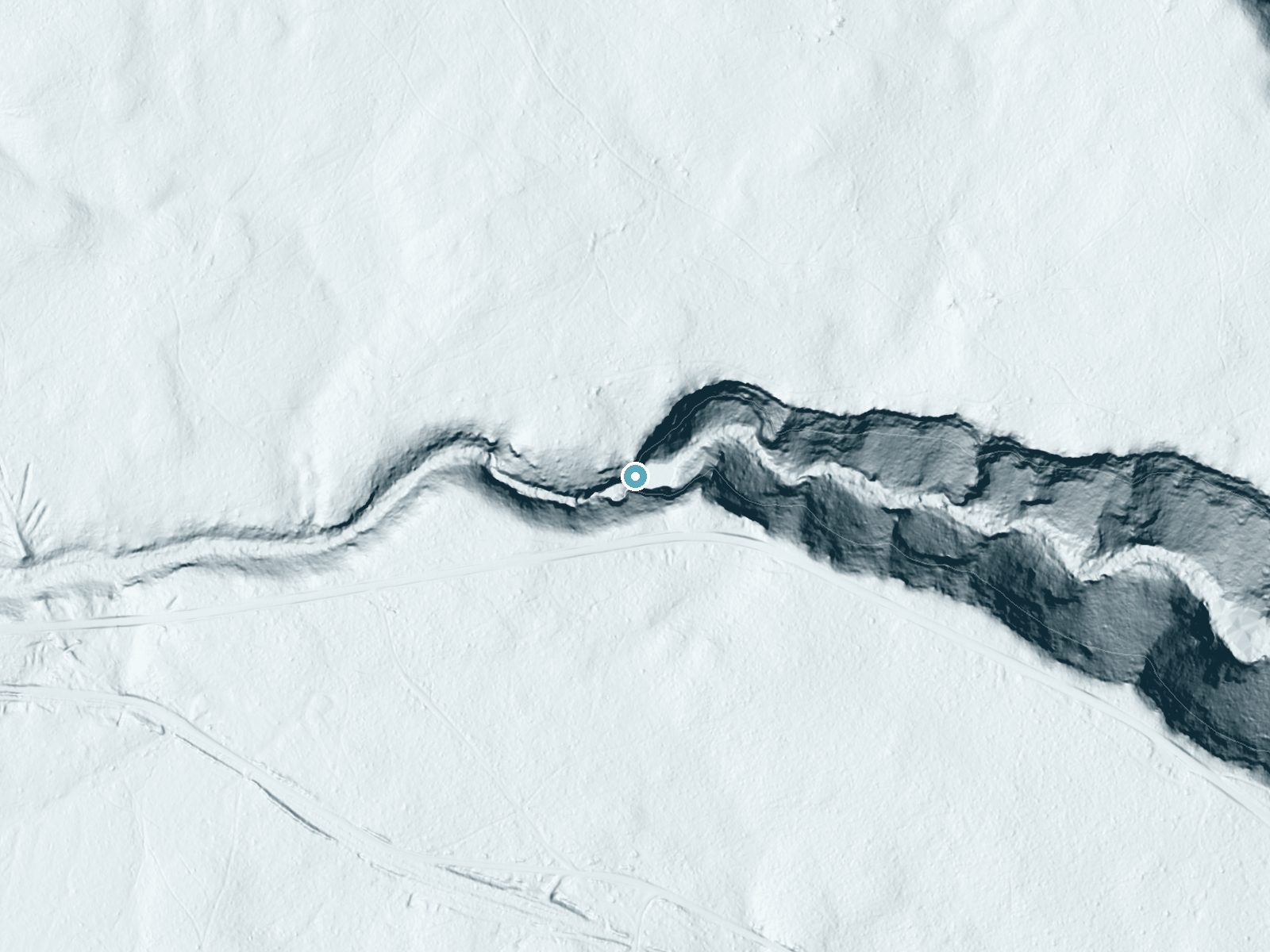
Drag to compare. The dot marks the waterfall. The frame is about a mile across.
- Ground elevation
- 1,614 feet
- Measured by 1-meter lidar
- Drop at the falls
- About 213 feet
- Change in ground height within ~250 feet of the falls
- Faces
- East
- Catches soft morning light.
A slice through the lidar ground surface, from above the falls to downstream (heading east).
Elevation data: USGS 3D Elevation Program. Aerial imagery: USGS The National Map. Public domain.
Location & Access
Getting There
Outlet Falls is located near the town of Glenwood, Washington. From Glenwood, take Glenwood-Goldendale Road and look for a small pullout near the falls. The trailhead is unmarked but accessible from the roadside.
Get Directions on Google MapsParking
There is limited roadside parking available near the trailhead. Visitors should park carefully to avoid blocking the road.
Elevation
1,604 feet above sea level
Coordinates
46.017901° N, -121.173686° W
Land Management
Managed by TRIB
Visitor Tips & Gear
Wear sturdy shoes as the trail can be uneven. Visit in the spring for the best water flow or in the fall for colorful foliage. Be cautious near the edge of the canyon, as there are no guardrails.
As an Amazon Associate, we earn from qualifying purchases.
For this easy 0.5 miles trail, lightweight trail shoes and a water bottle are usually sufficient. Sun exposure on the trail makes good sun protection a must in summer.

Polarized Sunglasses (Knockaround)
Cuts glare off the water so you actually see the falls — and your photos turn out better too.

Columbia Watertight II Rain Jacket
Packs into its own pocket, seam-sealed, and keeps you dry from spray and surprise rain.

Earth Pak Waterproof Dry Bag
Keeps your phone and gear dry when waterfall mist soaks everything else.

Waterproof Phone Pouch (AiRunTech)
Cheap insurance — take photos right next to the falls without killing your phone.

JOBY GorillaPod Starter Kit
Wraps around railings and rocks for long-exposure waterfall shots — no flat surface needed.

Osprey Daylite Daypack
Light, organized, and just the right size for a day hike — fits water, snacks, and layers.
Where to Stay
Postcard Cabins Mount Adams, Outdoor Collection by Marriott Bonvoy
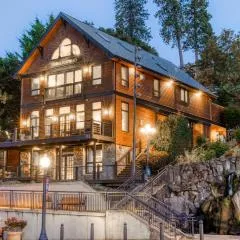
Horsefeathers Hotel
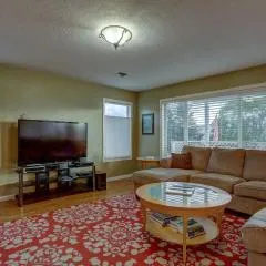
Northern Lights
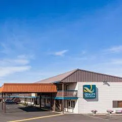
Quality Inn & Suites Goldendale
Browse vacation cabins and private rentals nearby
Unique outdoor stays — tents, yurts, and treehouses
Rent a campervan or RV for your waterfall road trip
Some links are affiliate links. We may earn a commission at no extra cost to you.
Nearby Campground
Atkisson Group camp
21.2 miles away · 1 sites
Overview Sitting just west of Washington's second largest mountain, Mt. Adams, Atkisson Group Camp is open for campers between May and September and becomes a sno-park for a variety of activities in winter. The flat, forested terrain makes Atkisson a popular spot for hikers, mountain bikers and winter sports enthusiasts.Recreation The flat terrain surrounding Atkisson is ideal for biking and hiking during the warmer months. Huckleberry and mushroom picking is permitted, and Nordic skiing and and
Book on Recreation.govNearby Hot Springs
Hot springs near Yakima, Washington
Fish Hatchery Warm Spring
Fish Hatchery Warm Spring produces 75-degree water on Yakama Nation Reservation lands, flowing 23.7 degrees above ambient tempe...
Klickitat Mineral Springs
Klickitat Mineral Springs produces 81-degree water at just 481 feet elevation on state conservation lands, flowing 27.9 degrees...

Mount Adams Fumaroles
Mount Adams fumaroles reach 150 degrees at 12,269 feet elevation, emerging 136 degrees above ambient on Washington's second-hig...
Simcoe Soda Springs
Simcoe Soda Springs flows at 90 degrees Fahrenheit on Yakama Nation Reservation tribal land in Yakima County near Tieton, with ...
Orr Creek Warm Springs
Orr Creek Warm Springs emerges at 72 degrees in the Gifford Pinchot National Forest at 2,910 feet elevation, flowing 26.5 degre...

Collins Hot Springs
Collins Hot Springs emerges at 122 degrees just 127 feet above sea level in the Columbia River Gorge, producing water 68.4 degr...
Looking for a soak after your hike? Explore more hot springs near Yakima, Washington on SoakingSprings.
Explore Washington springsAdditional Information
Nearby Attractions
Nearby attractions include Conboy Lake National Wildlife Refuge and Mount Adams Recreation Area.
Wildlife
The area around Outlet Falls is home to various bird species, deer, and small mammals. Wildflowers are abundant in the spring.
Cities near Outlet Falls
Writing about Outlet Falls? Embed this waterfall on your site for free.