Nine Mile Falls
By Armen Suny · Last verified Mar 2026
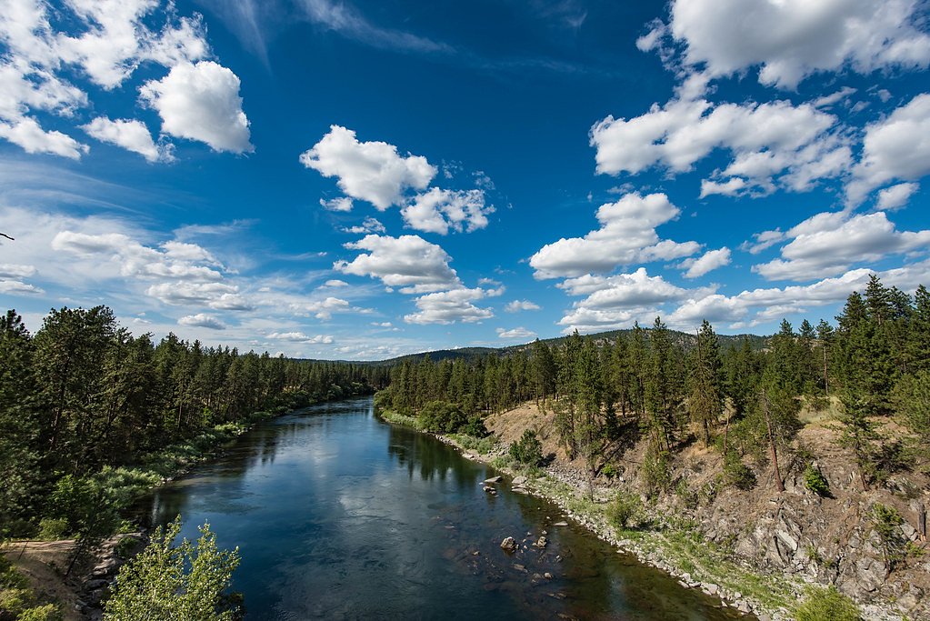
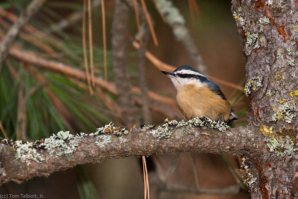
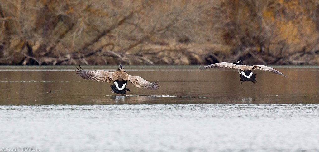

Photo Credits (4)
Difficulty
Moderate
Trail Length
2.4 miles
Trail Type
Out And Back
Elevation Gain
350 ft
About Nine Mile Falls
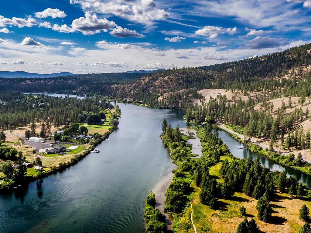
Nine Mile Falls sits along the Spokane River about nine miles from downtown Spokane, anchoring the small unincorporated community that straddles Spokane and Stevens counties (ZIP 99026). The site is historically significant—the original natural falls were replaced when Nine Mile Dam was built in 1908—so hiking here mixes riverside scenery with a touch of regional history. Expect scenic river views, shaded riparian forest, and plenty of spots for photography, fishing, or a riverside picnic. The trail network around Nine Mile Falls is popular with locals and day-trippers looking for a short but rewarding outing. Trails and viewpoints wind above the river and toward the dam, making this a pleasant half-day excursion whether you’re after landscape shots, a brisk walk, or a relaxing break beside the Spokane River.
The Setting
Nine Mile Falls sits at 1,542 feet along the Spokane River, in the hills of Washington.
Trail & Hike Details
The Approach
The moderate 2.4-mile out-and-back trail gains 350 feet of elevation on the way to the falls.
Trail Description
This is a 2.4-mile out-and-back route with about 350 feet of elevation gain and a moderate difficulty rating. The length and gain make for a brisk, manageable hike that includes some uphill stretches; plan on moderate exertion rather than a flat stroll. Trail tread and official class/grade details are not specified in the provided data, but the route provides a mix of riverside viewpoints and elevated overlooks of the Spokane River and Nine Mile Dam. The out-and-back format makes navigation straightforward—follow the main route to the viewpoints and return the same way—so it’s well suited to hikers comfortable with a moderate climb and varied terrain.
What to Expect
Dogs are welcome.
Accessibility
The trail is not wheelchair accessible. Uneven terrain and elevation changes require steady footing.
Frequently Asked Questions
🐶 Are Dogs Allowed at Nine Mile Falls?
✅ Dogs are allowed
Are There Any Fees or Permits Required?
🆖 No fees required
🏊 Is There Swimming at Nine Mile Falls?
❌ Swimming is not allowed
When to Visit
Spring and summer are the best times to visit, as the weather is pleasant, and the river flow is typically higher, enhancing the beauty of the falls.
Seasonal Access
The best time to visit is Spring, Summer, and Fall. Winter access may be limited.
Safety Information
Exercise caution near the water, especially during high flow seasons. Stay on marked trails and avoid venturing too close to the dam. Watch for slippery rocks and uneven terrain.
Current Water Conditions
2,100 ft³/s
Current discharge — how much water is flowing
Much lower than usual for this time of year
Based on 13 years of record
6.21 ft
Water depth at gauge
7-Day Discharge Trend
What does this mean for your visit?
Flow is well below normal for this time of year, so the waterfall may be a trickle.
About This Gauge
7-Day Flow Outlook
Based on the USGS gauge SPOKANE RIVER BELOW NINE MILE DAM AT SPOKANE, WA (1 km away).
Today
Moderate
2394 cfs
4/10Tomorrow
Moderate
2364 cfs
6/10Sun
Moderate
2196 cfs
5/10Mon
Moderate
2128 cfs
5/10Tue
Moderate
1959 cfs
5/10Wed
Moderate
1863 cfs
8/10Thu
Moderate
1834 cfs
8/10Best window: Wed — moderate flow, mostly sunny (trip score 8/10).
Best time of year: this gauge typically runs highest from mid March to early June, peaking in May.
How we calculate this
This is a transparent outlook, not a precise forecast. We take the waterfall's current flow strength (how it ranks against its historical normal for today, from the nearest USGS stream gauge), carry that ranking forward along the gauge's seasonal curve, and nudge it for forecast rain. Confidence is highest for the next day or two and falls further out. Always check official conditions and your own judgment before visiting — high flows can be dangerous.
Know when to go.
Get a free email alert when waterfalls near Suncrest hit peak flow. We only send when conditions are worth the trip — no weekly newsletters, no spam.
Weather Forecast
Location & Access
Getting There
Nine Mile Falls is located approximately 15 miles northwest of Spokane, Washington. Visitors can access the area via WA-291. The falls are near the Nine Mile Recreation Area and can be reached by car.
Get Directions on Google MapsParking
Parking is available at the Nine Mile Recreation Area, which provides access to the falls and surrounding trails.
Elevation
1,542 feet above sea level
Coordinates
47.775167° N, -117.544113° W
Visitor Tips & Gear
Arrive early during weekends or peak seasons to secure parking. Bring water and wear comfortable walking shoes. Be cautious near the water, especially during high flow seasons.
As an Amazon Associate, we earn from qualifying purchases.
With 2.4 miles and 350 ft of elevation gain, sturdy boots and trekking poles will help on this moderate trail. Sun exposure on the trail makes good sun protection a must in summer.

Polarized Sunglasses (Knockaround)
Cuts glare off the water so you actually see the falls — and your photos turn out better too.

Columbia Watertight II Rain Jacket
Packs into its own pocket, seam-sealed, and keeps you dry from spray and surprise rain.

Earth Pak Waterproof Dry Bag
Keeps your phone and gear dry when waterfall mist soaks everything else.

Waterproof Phone Pouch (AiRunTech)
Cheap insurance — take photos right next to the falls without killing your phone.

Timberland Euro Sprint Mid Waterproof
Trusted waterproof boot with premium leather and grippy rubber sole — reliable on rocky, wet trails.

TrailBuddy Trekking Poles
Lightweight aluminum, cork grips, and flip-locks that actually hold — a best-seller for good reason.
Where to Stay

Spokane Tribe Resort and Casino

Ruby River Hotel

Ramada by Wyndham Spokane Airport

La Quinta Inn & Suites by Wyndham Spokane Downtown
Browse vacation cabins and private rentals nearby
Unique outdoor stays — tents, yurts, and treehouses
Rent a campervan or RV for your waterfall road trip
Some links are affiliate links. We may earn a commission at no extra cost to you.
Additional Information
Nearby Attractions
Nearby attractions include Riverside State Park, Bowl and Pitcher area, and the Spokane River Centennial Trail.
Wildlife
The area is home to various bird species, deer, and other small mammals. Visitors may also spot fish in the river.
Cities near Nine Mile Falls
Nearby Waterfalls
Writing about Nine Mile Falls? Embed this waterfall on your site for free.