Photo Credits (2)
Difficulty
Moderate
Trail Length
2.4 miles
Trail Type
Out And Back
Elevation Gain
350 ft
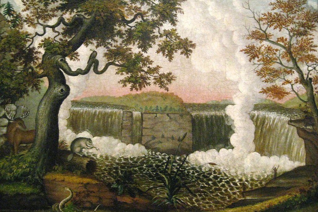
About Niagara Falls
Niagara Falls in West Virginia is a compact, photogenic cascade tucked into the high woods of the Monongahela National Forest. Though much smaller than its famous New York namesake, the falls offer a peaceful spot for photography, a picnic, or a quiet pause on a longer forest ramble. The site lies on land managed by the U.S. Forest Service, making it an easy addition to a day of exploring the Monongahela's streams and hardwood ridges. The hike to Niagara Falls makes a satisfying half-day outing for many visitors. The signed out-and-back route totals 2.4 miles with roughly 350 feet of elevation gain and is commonly rated moderate, so it’s well suited to hikers looking for a bit of exercise without committing to a long backcountry trek. For overnight options, Paw Paw Tunnel Campsite is nearby — about 2.96 km from the falls — allowing for an extended stay in the forest.
The Setting
Niagara Falls sits at 653 feet along the Cacapon River, in the foothills of West Virginia.
Trail & Hike Details
The Approach
The moderate 2.4-mile out-and-back trail gains 350 feet of elevation on the way to the falls.
Trail Description
This route is an out-and-back totaling 2.4 miles with approximately 350 feet of elevation gain and a moderate difficulty rating. The available USFS trail data for this location specify the length, elevation change, difficulty, and trail type (out-and-back); surface, grade, and technical class were not provided in the supplied data. The trail is typically done as a half-day hike and links conveniently with nearby camping at Paw Paw Tunnel Campsite (about 2.96 km away).
What to Expect
Dogs are welcome.
Accessibility
The trail is not wheelchair accessible. Uneven terrain and elevation changes require steady footing.
Frequently Asked Questions
🐶 Are Dogs Allowed at Niagara Falls?
✅ Dogs are allowed
Are There Any Fees or Permits Required?
🆖 No fees required
🏊 Is There Swimming at Niagara Falls?
❌ Swimming is not allowed
When to Visit
Spring and early summer are the best times to visit, as the waterfall flow is typically strongest after seasonal rains.
Seasonal Access
The best time to visit is Spring, Summer, and Fall. Winter access may be limited.
Safety Information
Be cautious of slippery rocks near the waterfall. Check weather conditions before visiting, as the trail may become muddy or inaccessible after heavy rain.
Current Water Conditions
115 ft³/s
Current discharge — how much water is flowing
About average for this time of year
Based on 102 years of record
1.60 ft
Water depth at gauge
75°F
ComfortablePleasant for swimming
7-Day Discharge Trend
What does this mean for your visit?
Flow is about average for this time of year. The water is a comfortable 75 degrees F, pleasant for swimming. Expect adequate dissolved oxygen levels. PH is normal at 7.8 and mineral content is typical.
Water Quality
Dissolved Oxygen
GoodAdequate oxygen levels
pH
NormalWithin healthy range (6.5-8.5)
Conductance
Dissolved minerals in the water
About This Gauge
This gauge is on a nearby waterway and may not reflect exact conditions at the falls.
7-Day Flow Outlook
Based on the USGS gauge CACAPON RIVER NEAR GREAT CACAPON, WV (15 km away).
Today
Moderate
131 cfs
6/10Tomorrow
Moderate
131 cfs
9/10Wed
Moderate
117 cfs
9/10Thu
Moderate
113 cfs
9/10Fri
Moderate
137 cfs
6/10Sat
Strong
137 cfs
7/10Sun
Strong
132 cfs
7/10Best window: Tomorrow — moderate flow, mostly sunny (trip score 9/10).
Best time of year: this gauge typically runs highest from late February to mid May, peaking in March.
How we calculate this
This is a transparent outlook, not a precise forecast. We take the waterfall's current flow strength (how it ranks against its historical normal for today, from the nearest USGS stream gauge), carry that ranking forward along the gauge's seasonal curve, and nudge it for forecast rain. Confidence is highest for the next day or two and falls further out. Always check official conditions and your own judgment before visiting — high flows can be dangerous.
Know when to go.
Get a free email alert when waterfalls near Paw Paw hit peak flow. We only send when conditions are worth the trip — no weekly newsletters, no spam.
Weather Forecast
Location & Access
Getting There
Niagara Falls in West Virginia is located near the Highland Scenic Highway (Route 150) in the Monongahela National Forest. It can be accessed via a short drive from nearby towns such as Marlinton or Richwood.
Get Directions on Google MapsParking
There is a small parking area near the trailhead, but availability may be limited during peak seasons.
Elevation
653 feet above sea level
Coordinates
39.515649° N, -78.467233° W
Visitor Tips & Gear
Wear sturdy shoes as the trail may be muddy after rain. Bring insect repellent during warmer months. Arrive early to secure parking, especially during weekends or peak seasons.
As an Amazon Associate, we earn from qualifying purchases.
With 2.4 miles and 350 ft of elevation gain, sturdy boots and trekking poles will help on this moderate trail. Sun exposure on the trail makes good sun protection a must in summer.

Polarized Sunglasses (Knockaround)
Cuts glare off the water so you actually see the falls — and your photos turn out better too.

Columbia Watertight II Rain Jacket
Packs into its own pocket, seam-sealed, and keeps you dry from spray and surprise rain.

Earth Pak Waterproof Dry Bag
Keeps your phone and gear dry when waterfall mist soaks everything else.

Waterproof Phone Pouch (AiRunTech)
Cheap insurance — take photos right next to the falls without killing your phone.

Timberland Euro Sprint Mid Waterproof
Trusted waterproof boot with premium leather and grippy rubber sole — reliable on rocky, wet trails.

TrailBuddy Trekking Poles
Lightweight aluminum, cork grips, and flip-locks that actually hold — a best-seller for good reason.
Where to Stay

Family cabin w hot tub & deck w bbq

Luxe 2 Bed Dome w Hot Tub Deck Fire Pit & Bath

Sleep Inn & Suites Cumberland

Secluded Oasis w Hot Tub, Screened-in Porch, WiFi!
Browse vacation cabins and private rentals nearby
Unique outdoor stays — tents, yurts, and treehouses
Rent a campervan or RV for your waterfall road trip
Some links are affiliate links. We may earn a commission at no extra cost to you.
Nearby Campground
Paw Paw Tunnel Campsite
1.8 miles away · 10 sites
Overview The Paw Paw Tunnel Campground is located at Mile 156 on the C&O Canal Towpath on the Maryland side of the Potomac River, across from the town of Paw Paw in West Virginia. Alcoholic beverages are prohibited.Facilities There are 10 single campsites, each has a picnic table, fire ring and grill. Each site can accommodate eight people. If there is a larger group, reserve two sites next to each other. Portable toilets are available. Hand pump water is available from April 15-November 1.Natura
Book on Recreation.govNearby Hot Springs
Hot springs near Paw Paw, West Virginia

Berkeley Springs
Berkeley Springs flows at 72 degrees Fahrenheit in the historic spa town of the same name in Morgan County, West Virginia, repr...

Swan Pond Spring
Swan Pond Spring emerges at 72°F from a low-elevation site at just 460 feet in Jefferson County, West Virginia. Located 66.9 me...
Looking for a soak after your hike? Explore more hot springs near Paw Paw, West Virginia on SoakingSprings.
Explore West Virginia springsAdditional Information
Nearby Attractions
Highland Scenic Highway, Cranberry Glades Botanical Area, and Falls of Hills Creek.
Wildlife
The area is home to a variety of wildlife, including deer, birds, and small mammals. Visitors may also see wildflowers and other native plants.
Cities near Niagara Falls
Other waterfalls named Niagara Falls
2 other waterfalls share this name across the U.S.
Writing about Niagara Falls? Embed this waterfall on your site for free.