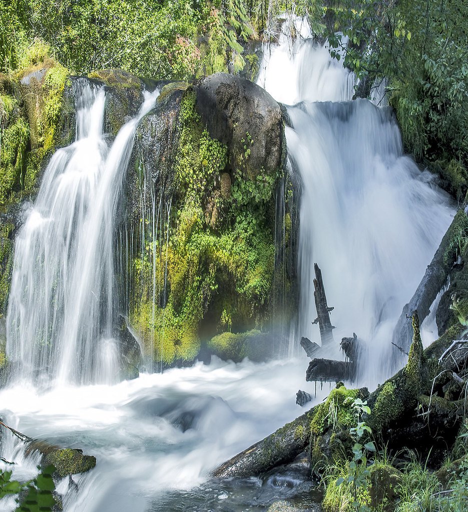
Muir Creek Falls
Oregon • Crater Lake National Park
By Armen Suny · Last verified Mar 2026
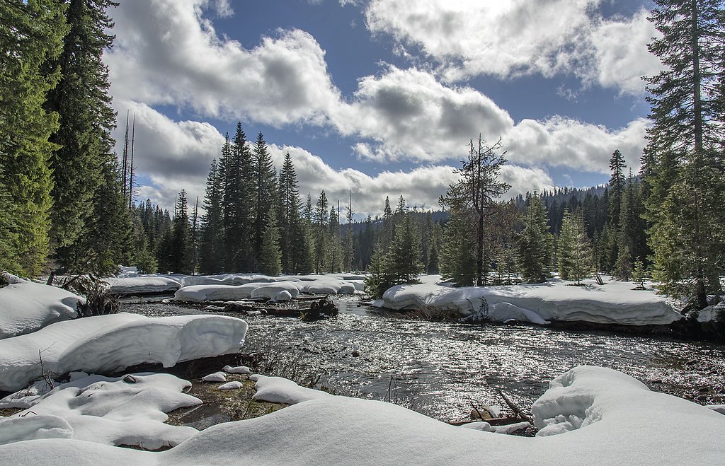
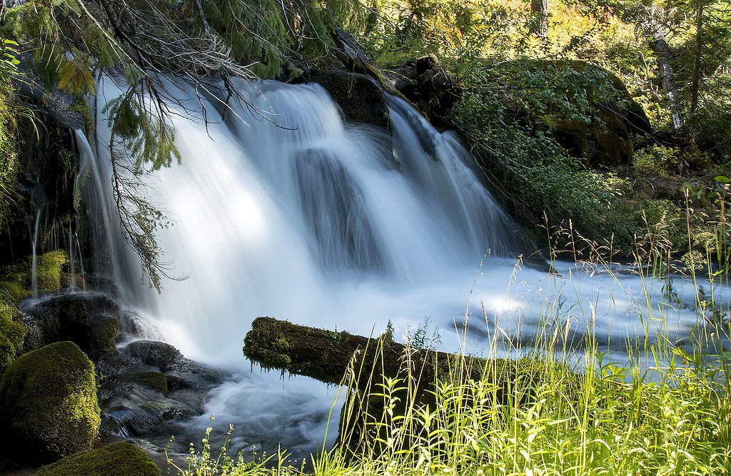
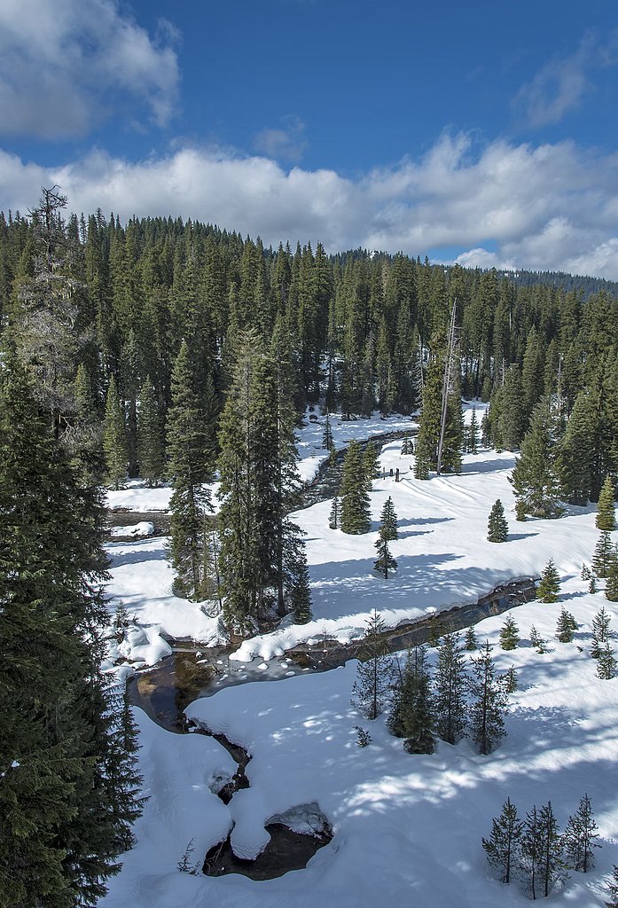
Photo Credits (4)
Difficulty
Moderate
Trail Length
2.4 miles
Trail Type
Out And Back
Elevation Gain
350 ft
About Muir Creek Falls
Muir Creek Falls is a small, serene waterfall located in Oregon, surrounded by lush forest. It is a lesser-known destination, offering a peaceful retreat for visitors seeking solitude and natural beauty.
The Setting
Muir Creek Falls sits at 3,970 feet within Crater Lake National Park, fed by the Fish Creek Abv Slipper Creek, in the mountains of Oregon.
Trail & Hike Details
The Approach
The moderate hike follows Muir Creek (#1042), a 2.4-mile out-and-back trail over natural surface. Expect 350 feet of elevation gain. The trail is developed (Class 3).
USFS Trail
MUIR CREEK #1042
Trail Class
Developed
Surface
USFS Segment
3.47 miTrail Description
Details about the trail leading to Muir Creek Falls are not well-documented. Visitors should be prepared for potentially uneven terrain and bring appropriate footwear.
What to Expect
Expect a quiet, forested area with a small waterfall. The surrounding environment is likely to feature moss-covered rocks and dense vegetation.
Accessibility
The trail is not wheelchair accessible. Uneven terrain and elevation changes require steady footing.
Frequently Asked Questions
🐶 Are Dogs Allowed at Muir Creek Falls?
❌ Dogs are not allowed
Are There Any Fees or Permits Required?
🆖 No fees required
🏊 Is There Swimming at Muir Creek Falls?
❌ Swimming is not allowed
When to Visit
Spring and early summer may be the best times to visit, as the waterfall is likely to have higher flow due to seasonal rainfall.
Seasonal Access
The best time to visit is Spring, Summer, Fall, and Winter. Check with Crater Lake National Park for current conditions.
Safety Information
Trails may be slippery or muddy, especially after rain. Visitors should watch for uneven terrain and bring appropriate gear. Cell service may be limited in the area.
Current Water Conditions
50 ft³/s
Current discharge — how much water is flowing
Lower than usual for this time of year
Based on 22 years of record
4.69 ft
Water depth at gauge
7-Day Discharge Trend
What does this mean for your visit?
Flow is lower than usual for this time of year.
About This Gauge
This gauge is on a nearby waterway and may not reflect exact conditions at the falls.
7-Day Flow Outlook
Based on the USGS gauge FISH CREEK ABV SLIPPER CREEK NR TOKETEE FALLS, OR (17 km away).
Today
Low
57 cfs
3/10Tomorrow
Low
56 cfs
3/10Sun
Low
51 cfs
4/10Mon
Barely Flowing
44 cfs
5/10Tue
Barely Flowing
45 cfs
3/10Wed
Barely Flowing
44 cfs
5/10Thu
Barely Flowing
45 cfs
3/10Best window: Mon — barely flowing flow, mostly sunny (trip score 5/10).
Best time of year: this gauge typically runs highest from early April to mid June, peaking in May.
How we calculate this
This is a transparent outlook, not a precise forecast. We take the waterfall's current flow strength (how it ranks against its historical normal for today, from the nearest USGS stream gauge), carry that ranking forward along the gauge's seasonal curve, and nudge it for forecast rain. Confidence is highest for the next day or two and falls further out. Always check official conditions and your own judgment before visiting — high flows can be dangerous.
Know when to go.
Get a free email alert when waterfalls near Prospect hit peak flow. We only send when conditions are worth the trip — no weekly newsletters, no spam.
Weather Forecast
Location & Access
Getting There
Muir Creek Falls is located in Oregon, but specific directions to the trailhead or access point are not well-documented. Visitors should research local maps or consult with nearby park services for guidance.
Get Directions on Google MapsParking
Parking availability is unclear. Visitors may need to park along nearby roads or at designated trailheads if available.
Elevation
3,970 feet above sea level
Coordinates
43.066513° N, -122.346981° W
Land Management
Managed by USFS
Visitor Tips & Gear
Bring a map or GPS device as the trail may not be well-marked. Check weather conditions before visiting, as trails could be muddy or slippery after rain.
As an Amazon Associate, we earn from qualifying purchases.
With 2.4 miles and 350 ft of elevation gain, sturdy boots and trekking poles will help on this moderate trail. Icy conditions are common in winter — traction cleats are a smart addition.

Columbia Watertight II Rain Jacket
Packs into its own pocket, seam-sealed, and keeps you dry from spray and surprise rain.

Polarized Sunglasses (Knockaround)
Cuts glare off the water so you actually see the falls — and your photos turn out better too.

Earth Pak Waterproof Dry Bag
Keeps your phone and gear dry when waterfall mist soaks everything else.

Waterproof Phone Pouch (AiRunTech)
Cheap insurance — take photos right next to the falls without killing your phone.

Timberland Euro Sprint Mid Waterproof
Trusted waterproof boot with premium leather and grippy rubber sole — reliable on rocky, wet trails.

TrailBuddy Trekking Poles
Lightweight aluminum, cork grips, and flip-locks that actually hold — a best-seller for good reason.
Where to Stay

Umpqua's Last Resort - Wilderness Cabins, RV Park & Glamping

Union Creek Resort

Budget Inn Motel Chemult

Dawson House Lodge
Browse vacation cabins and private rentals nearby
Unique outdoor stays — tents, yurts, and treehouses
Rent a campervan or RV for your waterfall road trip
Some links are affiliate links. We may earn a commission at no extra cost to you.
Nearby Campground
BROKEN ARROW CAMPGROUND
11.1 miles away · 275 sites
Overview Set back in lodgepole pine forest at the south end of Diamond Lake, Broken Arrow Campground is a quiet retreat for family and large group camping excursions in Umpqua National Forest. This picturesque spot boasts spectacular views of both Mount Bailey and Mount Thielsen and offers visitors fantastic recreational opportunities.Recreation The area around Broken Arrow Campground offers outdoor enthusiasts the opportunity to hike, fish, swim, bike and enjoy a long list of outdoor recreationa
Book on Recreation.govNearby Hot Springs
Hot springs near Prospect, Oregon

Umpqua Hot Springs
Umpqua Hot Springs flows at 117°F from multiple geothermal sources along the North Umpqua River in Lane County, forming cascadi...

Annie Spring
Annie Spring flows at 77°F within Crater Lake National Park at 5,983 feet elevation, discharging 1.71 cubic feet per second at ...
Kitson Hot Springs
Kitson Hot Springs flows at 109°F within Willamette National Forest at 1,664 feet elevation, positioned just 17 meters from For...

Mccredie Springs
McCredie Springs flows at 163°F along Salt Creek in the Willamette National Forest, creating one of western Oregon's most popul...
Eagle Point Spring
Eagle Point Spring flows at 95°F in Klamath County, emerging 45.6°F above the 49.4°F ambient temperature in a climate receiving...
Looking for a soak after your hike? Explore more hot springs near Prospect, Oregon on SoakingSprings.
Explore Oregon springsAdditional Information
Nearby Attractions
Other natural attractions in the area may include hiking trails, forests, and scenic viewpoints.
Wildlife
The area may feature typical Oregon wildlife such as birds, deer, and small mammals. Be cautious of potential encounters with bears or other larger wildlife.
Cities near Muir Creek Falls
Writing about Muir Creek Falls? Embed this waterfall on your site for free.