
Photo Credits (5)
Difficulty
Moderate
Trail Length
2.4 miles
Trail Type
Out And Back
Elevation Gain
350 ft
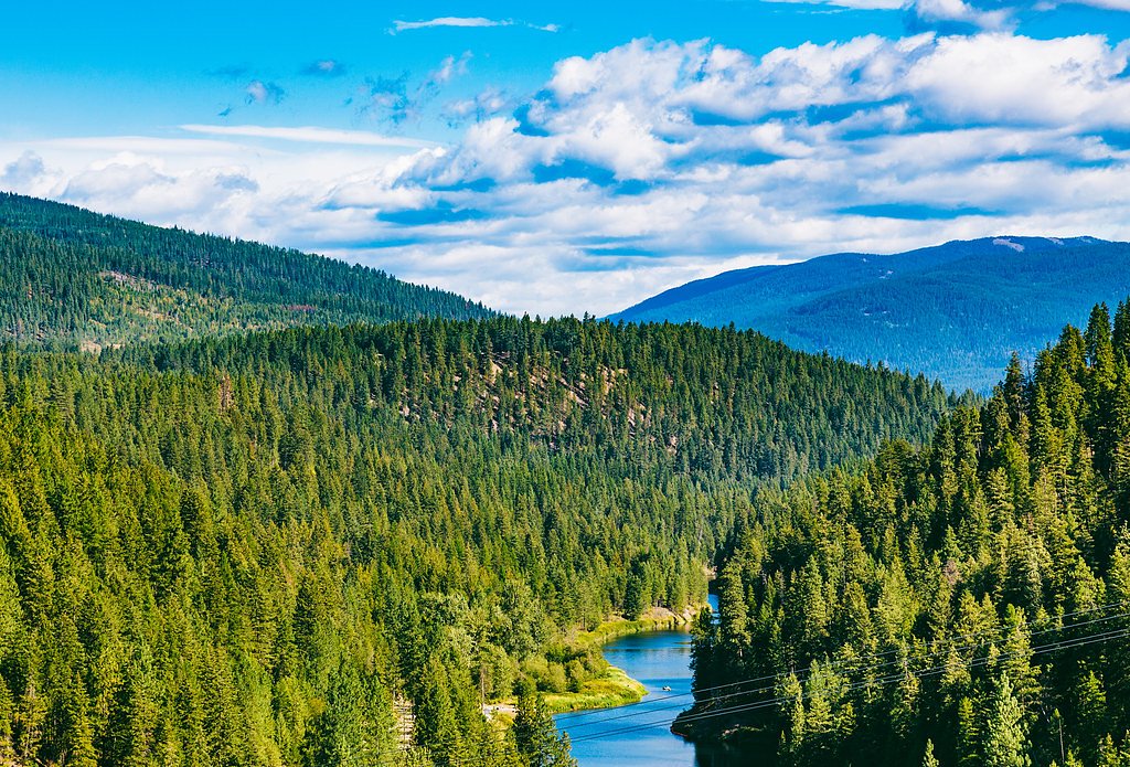
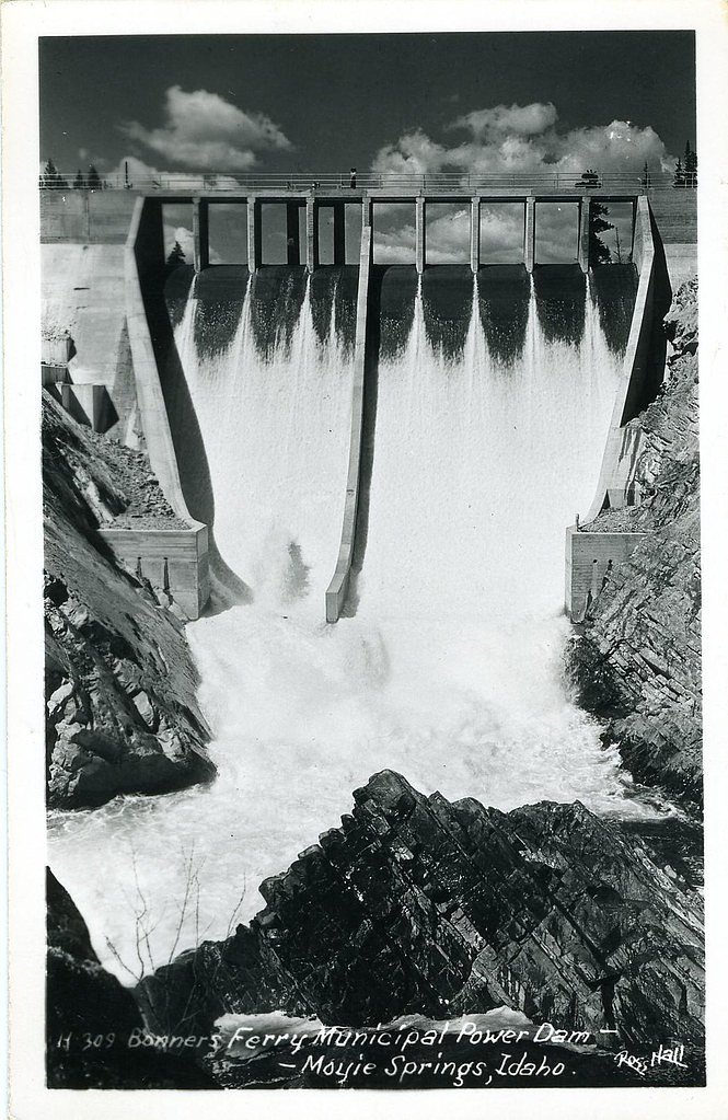
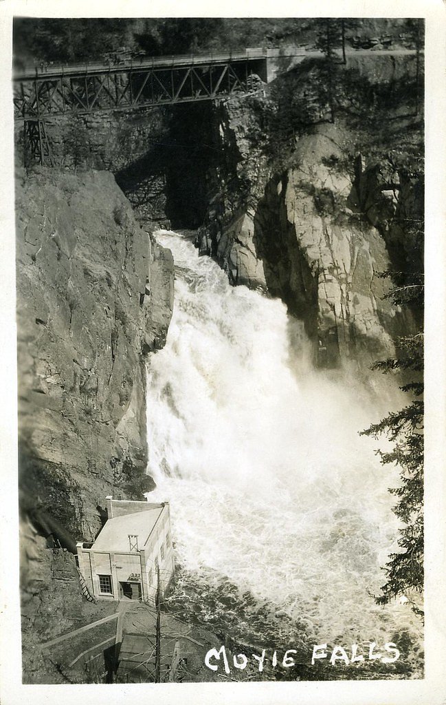
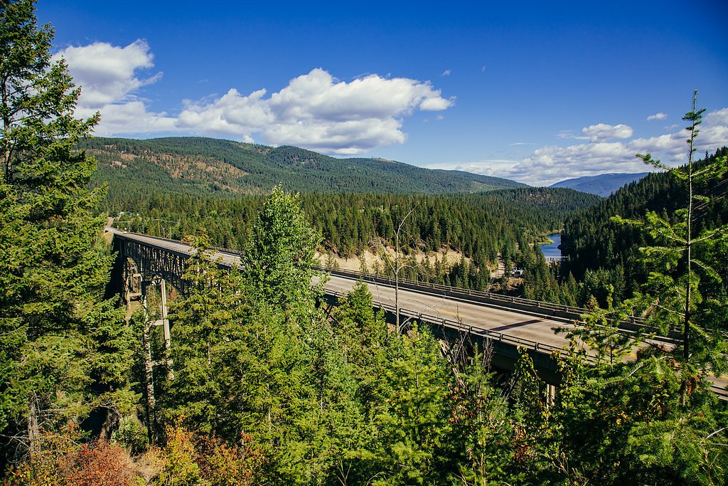
About Moyie Falls
Moyie Falls sits near Moyie Springs in northern Idaho where the Moyie River plunges through a scenic gorge, creating a dramatic, photogenic drop surrounded by forested banks. The setting feels like a peaceful retreat—popular with day-hikers and photographers looking for a quick nature fix without a long backcountry commitment. A moderate 2.4-mile out-and-back trail (about 350 feet of elevation gain) leads to viewpoints that showcase the falls and the river corridor; a nearby bridge provides a memorable vantage for photos. If you’re camping, Smith Lake Campground is only about 8.25 km away, making Moyie Falls an easy day trip from a tent or RV site.
The Setting
Moyie Falls sits at 1,939 feet along the Kootenai River Bel Moyie River, in the hills of Idaho.
Trail & Hike Details
The Approach
The moderate 2.4-mile out-and-back trail gains 350 feet of elevation on the way to the falls.
Trail Description
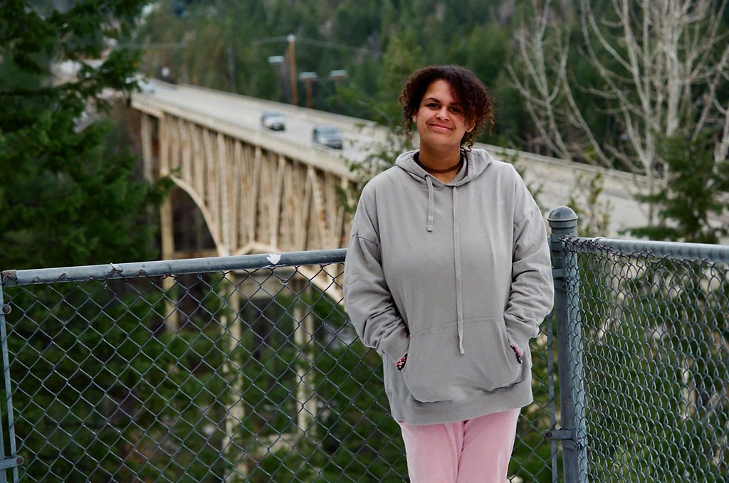
The hike to Moyie Falls is a moderate 2.4-mile out-and-back route with roughly 350 feet of elevation gain. The trail is relatively short but climbs enough to warrant a steady pace; footing can be unpaved and uneven in places, so sturdy footwear is recommended. Expect several viewpoints along the route, including access from a nearby bridge that offers clear views of the falls and river below.
What to Expect
Dogs are welcome.
Accessibility
The trail is not wheelchair accessible. Uneven terrain and elevation changes require steady footing.
Frequently Asked Questions
🐶 Are Dogs Allowed at Moyie Falls?
✅ Dogs are allowed
Are There Any Fees or Permits Required?
🆖 No fees required
🏊 Is There Swimming at Moyie Falls?
❌ Swimming is not allowed
When to Visit
Spring and early summer are the best times to visit, as the water flow is typically strongest during these seasons.
Seasonal Access
The best time to visit is Spring, Summer, and Fall. Winter access may be limited.
Safety Information
Exercise caution near the falls and river, as the terrain can be slippery and the currents are strong. Stay on designated paths and avoid getting too close to the edge.
Current Water Conditions
13,100 ft³/s
Current discharge — how much water is flowing
About average for this time of year
Based on 15 years of record
73.86 ft
Water depth at gauge
7-Day Discharge Trend
What does this mean for your visit?
Flow is about average for this time of year.
About This Gauge
7-Day Flow Outlook
Based on the USGS gauge KOOTENAI RIVER BEL MOYIE RIVER NR BONNERS FERRY ID (4 km away).
Today
Low
14934 cfs
3/10Tomorrow
Low
14602 cfs
4/10Wed
Low
14108 cfs
4/10Thu
Barely Flowing
12890 cfs
5/10Fri
Barely Flowing
12899 cfs
5/10Sat
Barely Flowing
13604 cfs
5/10Sun
Barely Flowing
13402 cfs
5/10Best window: Thu — barely flowing flow, mostly sunny (trip score 5/10).
Best time of year: this gauge typically runs highest from late April to late June, peaking in May.
How we calculate this
This is a transparent outlook, not a precise forecast. We take the waterfall's current flow strength (how it ranks against its historical normal for today, from the nearest USGS stream gauge), carry that ranking forward along the gauge's seasonal curve, and nudge it for forecast rain. Confidence is highest for the next day or two and falls further out. Always check official conditions and your own judgment before visiting — high flows can be dangerous.
Know when to go.
Get a free email alert when waterfalls near Moyie Springs hit peak flow. We only send when conditions are worth the trip — no weekly newsletters, no spam.
Weather Forecast
Location & Access
Getting There
Moyie Falls is located near the town of Moyie Springs, Idaho, and can be accessed via Highway 2. The falls are situated near the Moyie River Bridge, and visitors can park nearby to view the falls.
Get Directions on Google MapsParking
Parking is available near the Moyie River Bridge, but spaces may be limited. Visitors should exercise caution when parking as the area is close to the highway.
Elevation
1,939 feet above sea level
Coordinates
48.732996° N, -116.175473° W
Visitor Tips & Gear
Visit during spring or early summer for the most impressive water flow. Be cautious near the river and falls, as the terrain can be slippery. Bring a camera to capture the scenic views.
As an Amazon Associate, we earn from qualifying purchases.
With 2.4 miles and 350 ft of elevation gain, sturdy boots and trekking poles will help on this moderate trail. Sun exposure on the trail makes good sun protection a must in summer.

Polarized Sunglasses (Knockaround)
Cuts glare off the water so you actually see the falls — and your photos turn out better too.

Columbia Watertight II Rain Jacket
Packs into its own pocket, seam-sealed, and keeps you dry from spray and surprise rain.

Earth Pak Waterproof Dry Bag
Keeps your phone and gear dry when waterfall mist soaks everything else.

Waterproof Phone Pouch (AiRunTech)
Cheap insurance — take photos right next to the falls without killing your phone.

Timberland Euro Sprint Mid Waterproof
Trusted waterproof boot with premium leather and grippy rubber sole — reliable on rocky, wet trails.

TrailBuddy Trekking Poles
Lightweight aluminum, cork grips, and flip-locks that actually hold — a best-seller for good reason.
Where to Stay

Dodge Peak Lodge

Log Inn Bonners Ferry

Quiet Log Cabin • Gazebo • Near River & Trails

Northside School Bed & Breakfast
Browse vacation cabins and private rentals nearby
Unique outdoor stays — tents, yurts, and treehouses
Rent a campervan or RV for your waterfall road trip
Some links are affiliate links. We may earn a commission at no extra cost to you.
Nearby Campground
Smith Lake Campground
5.1 miles away · 0 sites
Smith Lake Campground features 7 camp units, potable water, vault toilets, a boat ramp, and a day use area with 3 picnic units.
Book on Recreation.govAdditional Information
Nearby Attractions
Nearby attractions include the Moyie River Bridge and the town of Bonners Ferry, which offers dining and shopping options.
Wildlife
The area is home to various wildlife, including birds, deer, and small mammals. Visitors should be cautious and respectful of the natural habitat.
Cities near Moyie Falls
Other waterfalls named Moyie Falls
1 other waterfall shares this name across the U.S.
Writing about Moyie Falls? Embed this waterfall on your site for free.