Photo Credits (5)
Difficulty
Moderate
Trail Length
2.4 miles
Trail Type
Out And Back
Elevation Gain
350 ft
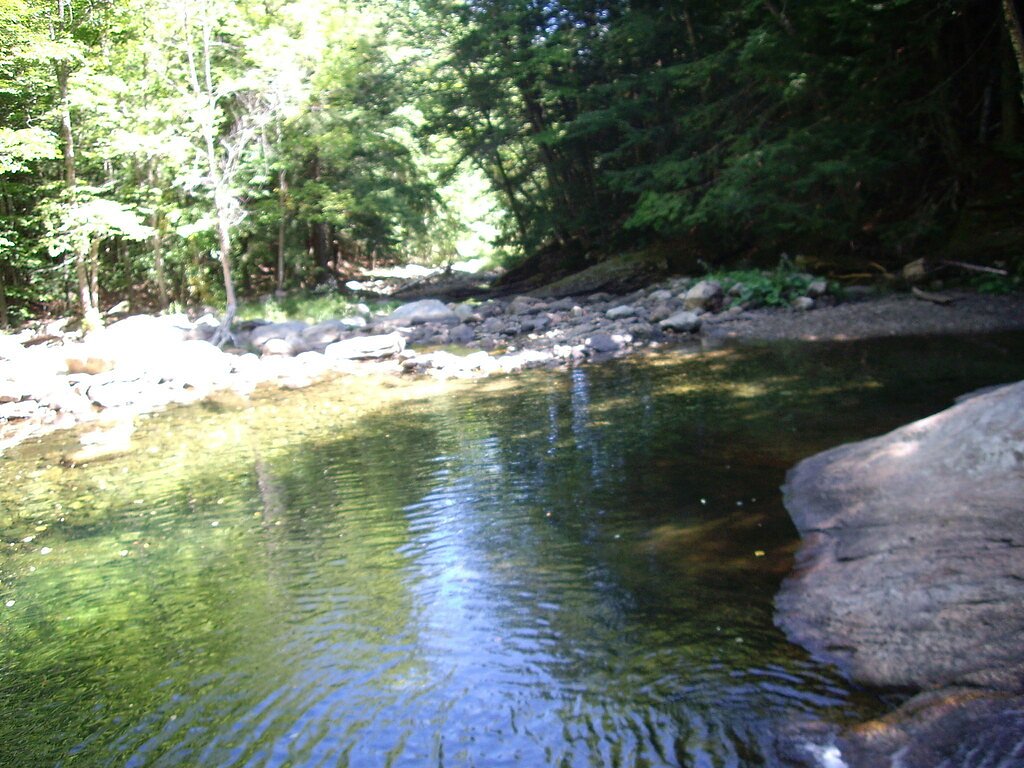
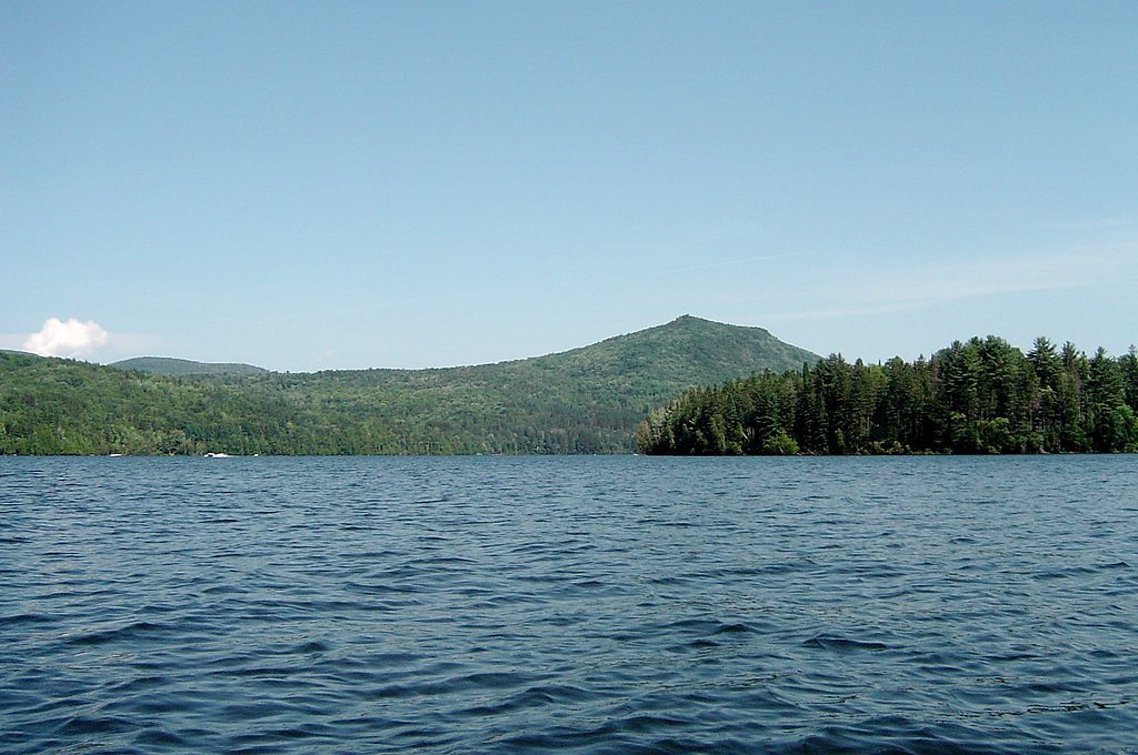
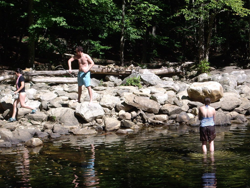
About Mollys Falls
Mollys Falls is a scenic waterfall located in Vermont, known for its serene surroundings and natural beauty. It is a lesser-known spot, making it a peaceful destination for visitors seeking a quiet retreat in nature.
The Setting
Mollys Falls sits at 843 feet along the North Branch Winooski River, in the foothills of Vermont.
Trail & Hike Details
The Approach
The moderate 2.4-mile out-and-back trail gains 350 feet of elevation on the way to the falls.
Trail Description
Details about the trail leading to Mollys Falls are not well-documented. Visitors should prepare for potentially uneven terrain and bring appropriate footwear.
What to Expect
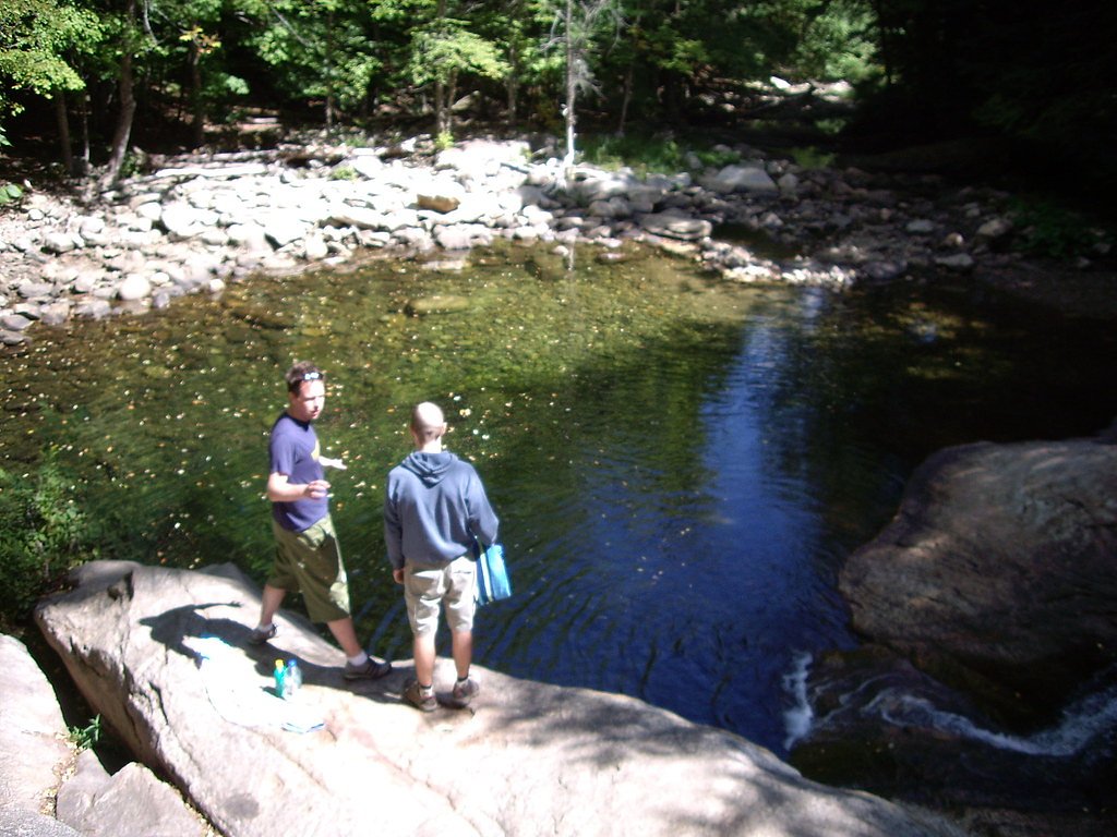
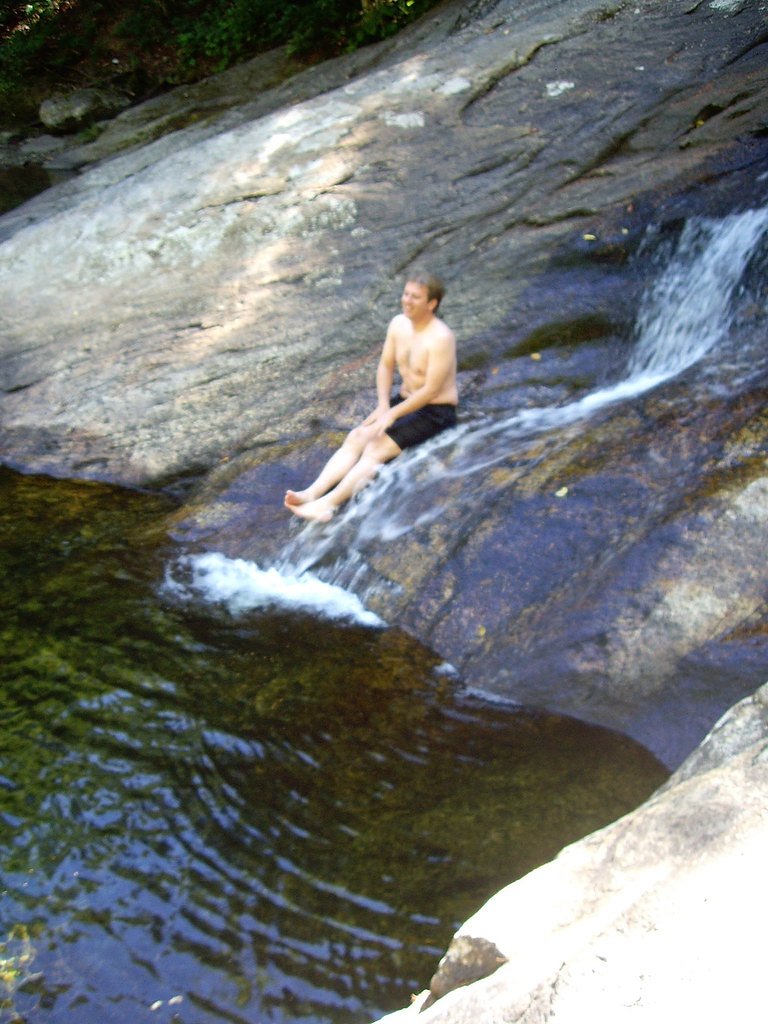
Expect a peaceful and natural setting with a picturesque waterfall. The area may be less developed, so amenities like restrooms or picnic areas are unlikely to be available.
Accessibility
The trail is not wheelchair accessible. Uneven terrain and elevation changes require steady footing.
Frequently Asked Questions
🐶 Are Dogs Allowed at Mollys Falls?
❌ Dogs are not allowed
Are There Any Fees or Permits Required?
🆖 No fees required
🏊 Is There Swimming at Mollys Falls?
❌ Swimming is not allowed
When to Visit
Spring and early summer are ideal for visiting, as the waterfall is likely to have a stronger flow due to snowmelt and rainfall.
Seasonal Access
The best time to visit is Spring, Summer, and Fall. Winter access may be limited.
Safety Information
Visitors should be cautious of slippery rocks near the waterfall and uneven terrain. Always stay on marked trails if available and avoid venturing too close to the water's edge.
Current Water Conditions
118 ft³/s
Current discharge — how much water is flowing
Higher than usual for this time of year
Based on 92 years of record
2.09 ft
Water depth at gauge
7-Day Discharge Trend
What does this mean for your visit?
The water is flowing higher than usual for this time of year.
About This Gauge
This gauge is on a nearby waterway and may not reflect exact conditions at the falls.
7-Day Flow Outlook
Based on the USGS gauge NORTH BRANCH WINOOSKI RIVER AT WRIGHTSVILLE, VT (20 km away).
Today
Barely Flowing
118 cfs
5/10Tomorrow
Barely Flowing
99 cfs
5/10Tue
Low
128 cfs
3/10Wed
Moderate
116 cfs
4/10Thu
Moderate
100 cfs
4/10Fri
Moderate
100 cfs
4/10Sat
Moderate
96 cfs
4/10Best window: Today — barely flowing flow, mostly sunny (trip score 5/10).
Best time of year: this gauge typically runs highest from mid March to late May, peaking in April.
How we calculate this
This is a transparent outlook, not a precise forecast. We take the waterfall's current flow strength (how it ranks against its historical normal for today, from the nearest USGS stream gauge), carry that ranking forward along the gauge's seasonal curve, and nudge it for forecast rain. Confidence is highest for the next day or two and falls further out. Always check official conditions and your own judgment before visiting — high flows can be dangerous.
Know when to go.
Get a free email alert when waterfalls near Peacham hit peak flow. We only send when conditions are worth the trip — no weekly newsletters, no spam.
Weather Forecast
Location & Access
Getting There
Mollys Falls is located near Marshfield, Vermont. It can be accessed via local roads, but specific directions may vary depending on your starting point. Visitors are advised to use GPS or consult local maps for the most accurate route.
Get Directions on Google MapsParking
Parking availability is unclear, but visitors may need to park along nearby roads or designated areas if available. Be cautious of private property and follow any posted signs.
Elevation
843 feet above sea level
Coordinates
44.356998° N, -72.342048° W
Visitor Tips & Gear
Bring a map or GPS device as the area may not have clear signage. Check weather conditions before visiting, as trails may become slippery or muddy after rain.
As an Amazon Associate, we earn from qualifying purchases.
With 2.4 miles and 350 ft of elevation gain, sturdy boots and trekking poles will help on this moderate trail. Sun exposure on the trail makes good sun protection a must in summer.

Polarized Sunglasses (Knockaround)
Cuts glare off the water so you actually see the falls — and your photos turn out better too.

Columbia Watertight II Rain Jacket
Packs into its own pocket, seam-sealed, and keeps you dry from spray and surprise rain.

Earth Pak Waterproof Dry Bag
Keeps your phone and gear dry when waterfall mist soaks everything else.

Waterproof Phone Pouch (AiRunTech)
Cheap insurance — take photos right next to the falls without killing your phone.

Timberland Euro Sprint Mid Waterproof
Trusted waterproof boot with premium leather and grippy rubber sole — reliable on rocky, wet trails.

TrailBuddy Trekking Poles
Lightweight aluminum, cork grips, and flip-locks that actually hold — a best-seller for good reason.
Where to Stay

Comfort Inn & Suites Near Burke Mountain

Green Mountain Inn

Colonnade Inn

Idyllic Vermont Farmhouse: Mtn Views on 200 Acres!
Browse vacation cabins and private rentals nearby
Unique outdoor stays — tents, yurts, and treehouses
Rent a campervan or RV for your waterfall road trip
Some links are affiliate links. We may earn a commission at no extra cost to you.
Additional Information
Nearby Attractions
Nearby attractions may include other natural areas in Vermont, such as Groton State Forest or Marshfield Village.
Wildlife
The area may host typical Vermont wildlife, including birds, deer, and small mammals. Be cautious of ticks and other insects.
Cities near Mollys Falls
Nearby Waterfalls
Writing about Mollys Falls? Embed this waterfall on your site for free.