Missouri Falls
By Armen Suny · Last verified Mar 2026
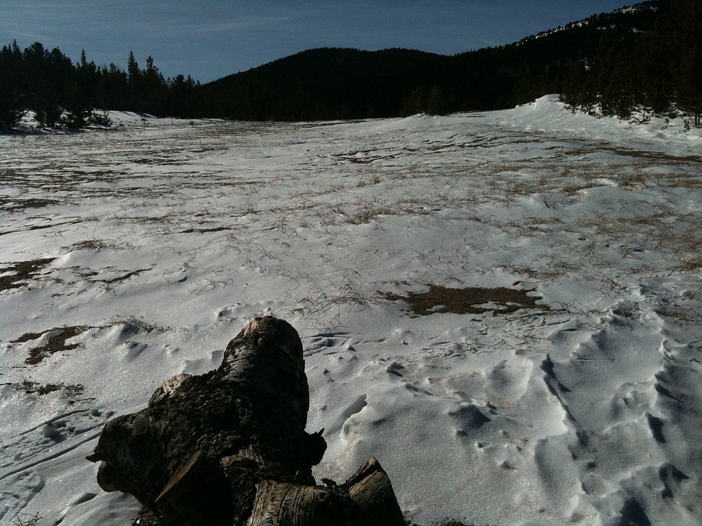
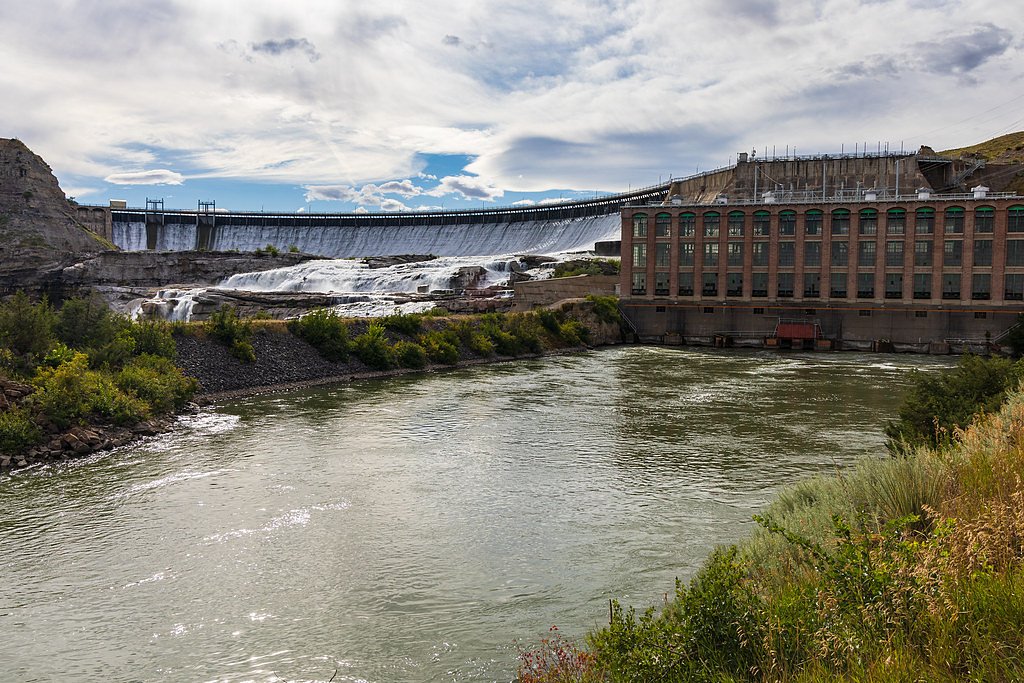
Photo Credits (5)
Difficulty
Moderate
Trail Length
4.5 miles
Trail Type
Out And Back
Elevation Gain
800 ft
About Missouri Falls
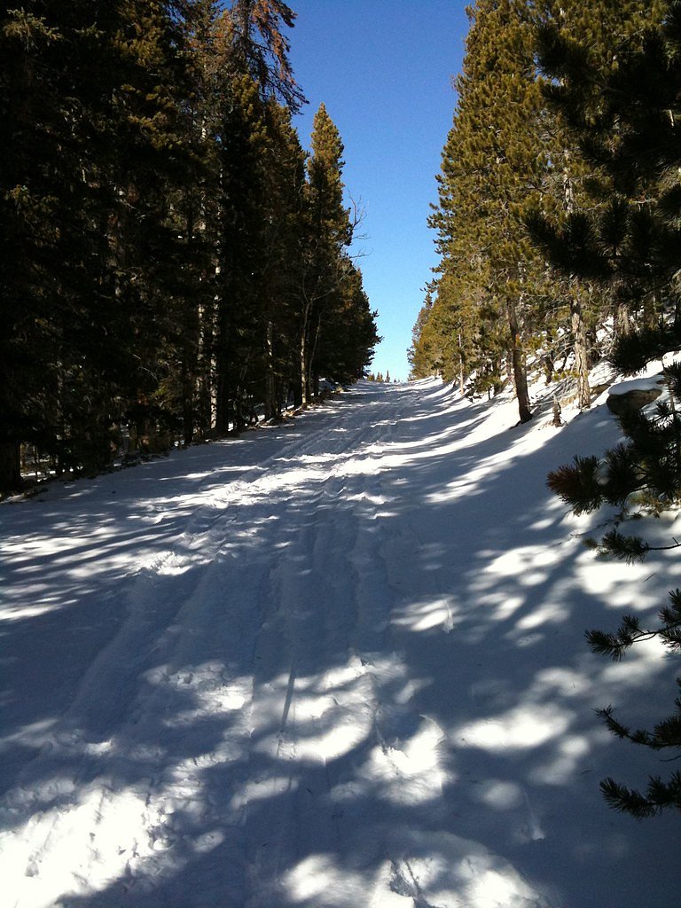
Missouri Falls sits in the Missouri Creek drainage within San Isabel National Forest, where a graceful cascade drops through a forested mountain setting that draws hikers and photographers alike. The falls offer a peaceful payoff for a moderate outing, with the sound of rushing water and scenic creekside views making it a rewarding destination. Access is via the USFS Missouri Creek Trail, a 4.5-mile out-and-back route with about 800 feet of elevation gain rated moderate, so plan for a half-day hike. For campers, the Cold Springs campground (Arapaho Roosevelt National Forest) lies just 2.33 km away and makes a convenient basecamp for people looking to turn the trip into an overnight adventure.
The Setting
Missouri Falls sits at 8,593 feet along the Clear Creek, in the high alpine of Colorado.
Trail & Hike Details
The Approach
The moderate 4.5-mile out-and-back trail gains 800 feet of elevation on the way to the falls.
Trail Description
Follow the USFS Missouri Creek Trail to reach Missouri Falls — the route is described as a 4.5-mile out-and-back with roughly 800 feet of cumulative elevation gain and a moderate difficulty rating. The path stays close to the creek much of the way and is generally well-maintained, though hikers should expect some rocky and uneven sections and short moderate climbs. This trail is best for hikers comfortable with moderate grades and creekside footing; the nearby Cold Springs campground (~2.33 km) provides close access for those camping before or after their hike.
What to Expect
Dogs are welcome.
Accessibility
The trail is not wheelchair accessible. Uneven terrain and elevation changes require steady footing.
Frequently Asked Questions
🐶 Are Dogs Allowed at Missouri Falls?
✅ Dogs are allowed
Are There Any Fees or Permits Required?
🆖 No fees required
🏊 Is There Swimming at Missouri Falls?
❌ Swimming is not allowed
When to Visit
The best time to visit Missouri Falls is during late spring through early fall when the trail is free of snow and the waterfall flow is at its peak due to snowmelt.
Seasonal Access
The best time to visit is Spring, Summer, and Fall. Access roads and trails may close during winter due to snow.
Safety Information
Be prepared for changing weather conditions and carry the necessary gear. Watch for slippery rocks near the waterfall and stay on marked trails to avoid getting lost.
Current Water Conditions
130 ft³/s
Current discharge — how much water is flowing
Much lower than usual for this time of year
Based on 72 years of record
3.27 ft
Water depth at gauge
7-Day Discharge Trend
What does this mean for your visit?
Flow is well below normal for this time of year, so the waterfall may be a trickle.
About This Gauge
This gauge is on a nearby waterway and may not reflect exact conditions at the falls.
7-Day Flow Outlook
Based on the USGS gauge CLEAR CREEK NEAR LAWSON, CO (12 km away).
Today
Moderate
130 cfs
8/10Tomorrow
Moderate
130 cfs
8/10Mon
Moderate
130 cfs
8/10Tue
Moderate
130 cfs
8/10Wed
Moderate
130 cfs
8/10Thu
Moderate
130 cfs
8/10Fri
Moderate
130 cfs
8/10Best window: Today — moderate flow, sunny (trip score 8/10).
How we calculate this
This is a transparent outlook, not a precise forecast. We take the waterfall's current flow strength (how it ranks against its historical normal for today, from the nearest USGS stream gauge), carry that ranking forward along the gauge's seasonal curve, and nudge it for forecast rain. Confidence is highest for the next day or two and falls further out. Always check official conditions and your own judgment before visiting — high flows can be dangerous.
Know when to go.
Get a free email alert when waterfalls near Central City hit peak flow. We only send when conditions are worth the trip — no weekly newsletters, no spam.
Weather Forecast
Location & Access
Getting There
Missouri Falls can be accessed via the Missouri Creek Trailhead, located off County Road 390 near Buena Vista, Colorado. The trailhead is well-marked and accessible by most vehicles during the summer months. Winter access may be limited due to snow.
Get Directions on Google MapsParking
Parking is available at the Missouri Creek Trailhead. The lot is small, so arriving early is recommended, especially during peak seasons.
Elevation
8,593 feet above sea level
Coordinates
39.824154° N, -105.509164° W
Visitor Tips & Gear
Start your hike early to avoid crowds and secure parking. Bring plenty of water and snacks, as there are no facilities along the trail. Check weather conditions before heading out, as storms can develop quickly in the mountains.
This trail sits at 8,593 ft — the air is noticeably thinner
High AltitudeSome visitors experience headaches, fatigue, or shortness of breath at this elevation. Take it slow, stay hydrated, and consider supplemental oxygen if you're coming from a lower altitude.
As an Amazon Associate, we earn from qualifying purchases.

Coppertone Sport SPF 50 Sunscreen
UV intensity jumps ~4% per 1,000 ft — at this elevation you can burn in half the time.

Sun Bum SPF 30 Lip Balm (3-Pack)
Lips have almost no natural UV protection and burn fast in thin, dry mountain air.

Liquid I.V. Electrolyte Packets
You lose moisture ~2x faster at elevation — electrolytes help you absorb water efficiently.

ROCKNIGHT Polarized UV400 Sunglasses
High-altitude glare off rock and water is intense — UV400 lenses block 99%+ of UVA/UVB.

Boost Oxygen 10L Canister (2-Pack)
Portable supplemental oxygen for quick relief from headaches and shortness of breath.

Altitude Rx OxyBoost Complex
Antioxidant formula designed to support your body's natural altitude acclimation.
As an Amazon Associate, we earn from qualifying purchases.
With 4.5 miles and 800 ft of elevation gain, sturdy boots and trekking poles will help on this moderate trail. Sun exposure on the trail makes good sun protection a must in summer.

Polarized Sunglasses (Knockaround)
Cuts glare off the water so you actually see the falls — and your photos turn out better too.

Columbia Watertight II Rain Jacket
Packs into its own pocket, seam-sealed, and keeps you dry from spray and surprise rain.

Earth Pak Waterproof Dry Bag
Keeps your phone and gear dry when waterfall mist soaks everything else.

Waterproof Phone Pouch (AiRunTech)
Cheap insurance — take photos right next to the falls without killing your phone.

Timberland Euro Sprint Mid Waterproof
Trusted waterproof boot with premium leather and grippy rubber sole — reliable on rocky, wet trails.

TrailBuddy Trekking Poles
Lightweight aluminum, cork grips, and flip-locks that actually hold — a best-seller for good reason.
Where to Stay

Lady Luck Casino Black Hawk

Ameristar Casino Black Hawk

Century Casino & Hotel - Central City

Horseshoe Black Hawk, A Caesars Destination
Browse vacation cabins and private rentals nearby
Unique outdoor stays — tents, yurts, and treehouses
Rent a campervan or RV for your waterfall road trip
Some links are affiliate links. We may earn a commission at no extra cost to you.
Nearby Campground
Cold Springs - Arapaho Roosevelt NF (CO)
1.4 miles away · 43 sites
Overview Cold Springs Campground is located on the Arapaho Roosevelt National Forest, north of Blackhawk on the Peak to Peak Scenic Byway/Highway 119, in north central Colorado. Visitors enjoy the area for its scenic and off-road driving, and nearby hiking and fishing opportunities.Recreation The surrounding area has many great hiking trails. There is an easy hiking trail out of the campground for families with small children. In addition, the short, but steep Vista Trail climbs just a quarter-mi
Book on Recreation.govNearby Hot Springs
Hot springs near Central City, Colorado

Idaho Springs
Idaho Springs surfaces at 115°F in Clear Creek County at 7,682 feet elevation, emerging near Soda Creek Road just 273 feet from...

Eldorado Springs
Eldorado Springs emerges at 79 degrees Fahrenheit in Boulder County's foothills as a low-mineralization thermal seep just 9 met...

Hot Sulphur Springs
Hot Sulphur Springs flows at 111°F along Parshall Divide Road in Grand County, emerging just 58 feet from the pavement in the s...
Rhodes Warm Spring
Rhodes Warm Spring emerges at 75°F at 10,172 feet elevation in the high mountain country of Park County near Fairplay, offering...
Looking for a soak after your hike? Explore more hot springs near Central City, Colorado on SoakingSprings.
Explore Colorado springsAdditional Information
Nearby Attractions
Nearby attractions include Clear Creek Reservoir, Mount Harvard, and the Collegiate Peaks Wilderness.
Wildlife
The area is home to wildlife such as deer, elk, and various bird species. Be cautious of bears and other large animals.
Cities near Missouri Falls
Writing about Missouri Falls? Embed this waterfall on your site for free.