
Photo Credits (5)
Difficulty
Moderate
Trail Length
6.5 miles
Trail Type
Out And Back
Elevation Gain
500 ft
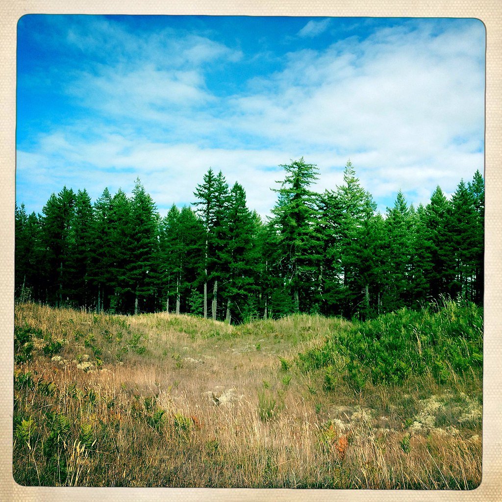
About Mima Falls
Mima Falls sits on the upper course of Mima Creek in Thurston County, Washington, tucked into land managed as a State Resource Management Area by the Washington State Department of Natural Resources (managed by SDNR). The falls are part of Mima Creek, a tributary of the Black River, and carry a quiet, downstream feel reflected in the name “Mima,” a Native American word often rendered as “a little further along” or “downstream.” The setting feels intimate rather than dramatic—a mossy cascade framed by the kind of green, shaded forest that Washington is known for. The route to the falls is a favorite for hikers seeking a moderate day outing. The trail delivers peaceful forest scenery and a close-up of the creek where it tumbles over rocksteps; it’s a great pick for photographers and anyone who enjoys listening to water in a quiet valley. Nearby land is managed by the Washington State DNR as an SRMA, so visitors should follow posted rules and Leave No Trace practices while exploring this accessible slice of Thurston County nature.
The Setting
Mima Falls sits at 400 feet within Washington State Department of Natural Resources (WADNR) State Resource Management Area, fed by the Chehalis River, in the coastal lowlands of Washington.
Trail & Hike Details
The Approach
The moderate 6.5-mile out-and-back trail gains 500 feet of elevation on the way to the falls.
Trail Description
Out-and-back, 6.5 miles round-trip with about 500 feet of elevation gain; rated moderate. The path is generally well-maintained and mostly shaded, winding through dense stands of Douglas fir and ferns. Expect gentle, steady climbs rather than steep pitches, with a few sections that can become muddy in wet weather. The trail is non-technical—suitable for typical day-hiking footwear—and offers easy creekside access where Mima Creek drops to form the falls.
What to Expect
Dogs are welcome.
Accessibility
The trail is not wheelchair accessible. Uneven terrain and elevation changes require steady footing.
Frequently Asked Questions
🐶 Are Dogs Allowed at Mima Falls?
✅ Dogs are allowed
Are There Any Fees or Permits Required?
🤑 Fee: $30.00
Permit required
A Discover Pass is required to park at the trailhead. The pass costs $30 annually or $10 for a day pass.
🏊 Is There Swimming at Mima Falls?
❌ Swimming is not allowed
When to Visit
Spring and early summer are ideal times to visit, as the waterfall flow is strongest after seasonal rains.
Seasonal Access
The best time to visit is Spring, Summer, Fall, and Winter.
Safety Information
Be cautious of slippery sections, especially after rain. Carry a map or GPS, as cell service may be limited in the forest.
Current Water Conditions
385 ft³/s
Current discharge — how much water is flowing
About average for this time of year
Based on 97 years of record
129.31 ft
Water depth at gauge
7-Day Discharge Trend
What does this mean for your visit?
Flow is about average for this time of year.
About This Gauge
This gauge is on a nearby waterway and may not reflect exact conditions at the falls.
7-Day Flow Outlook
Based on the USGS gauge CHEHALIS RIVER NEAR GRAND MOUND, WA (16 km away).
Today
Low
439 cfs
3/10Tomorrow
Low
443 cfs
4/10Sun
Low
426 cfs
4/10Mon
Low
416 cfs
4/10Tue
Low
401 cfs
4/10Wed
Barely Flowing
366 cfs
5/10Thu
Barely Flowing
373 cfs
3/10Best window: Wed — barely flowing flow, partly sunny (trip score 5/10).
Best time of year: this gauge typically runs highest from late November to late January, peaking in December.
How we calculate this
This is a transparent outlook, not a precise forecast. We take the waterfall's current flow strength (how it ranks against its historical normal for today, from the nearest USGS stream gauge), carry that ranking forward along the gauge's seasonal curve, and nudge it for forecast rain. Confidence is highest for the next day or two and falls further out. Always check official conditions and your own judgment before visiting — high flows can be dangerous.
Know when to go.
Get a free email alert when waterfalls near Rochester hit peak flow. We only send when conditions are worth the trip — no weekly newsletters, no spam.
Weather Forecast
Location & Access
Getting There
Mima Falls is located in Capitol State Forest, approximately 15 miles southwest of Olympia, Washington. The trailhead can be accessed via Waddell Creek Road SW. Follow signs for the Mima Falls Trailhead.
Get Directions on Google MapsParking
There is a designated parking area at the Mima Falls Trailhead. Parking may be limited during peak times, especially on weekends.
Elevation
400 feet above sea level
Coordinates
46.911209° N, -123.087921° W
Land Management
Managed by SDNR
Visitor Tips & Gear
Visit early in the day to avoid crowds, especially on weekends. Wear sturdy hiking shoes, as the trail can be muddy in places. Bring water and snacks, as there are no facilities along the trail.
As an Amazon Associate, we earn from qualifying purchases.
With 6.5 miles and 500 ft of elevation gain, sturdy boots and trekking poles will help on this moderate trail. Icy conditions are common in winter — traction cleats are a smart addition.

Columbia Watertight II Rain Jacket
Packs into its own pocket, seam-sealed, and keeps you dry from spray and surprise rain.

Polarized Sunglasses (Knockaround)
Cuts glare off the water so you actually see the falls — and your photos turn out better too.

Earth Pak Waterproof Dry Bag
Keeps your phone and gear dry when waterfall mist soaks everything else.

Waterproof Phone Pouch (AiRunTech)
Cheap insurance — take photos right next to the falls without killing your phone.

Timberland Euro Sprint Mid Waterproof
Trusted waterproof boot with premium leather and grippy rubber sole — reliable on rocky, wet trails.

TrailBuddy Trekking Poles
Lightweight aluminum, cork grips, and flip-locks that actually hold — a best-seller for good reason.
Where to Stay

Lucky Eagle Casino & Hotel (Washington)

La Quinta by Wyndham Tumwater - Olympia

Holiday Inn Express & Suites Tumwater - Olympia by IHG

La Quinta Inn & Suites by Wyndham Centralia
Browse vacation cabins and private rentals nearby
Unique outdoor stays — tents, yurts, and treehouses
Rent a campervan or RV for your waterfall road trip
Some links are affiliate links. We may earn a commission at no extra cost to you.
Nearby Hot Springs
Hot springs near Rochester, Washington
Green River Soda Spring
Green River Soda Spring produces 86-degree carbonated water at 1,644 feet elevation, flowing 37.5 degrees above ambient tempera...

Mt St Helens Fumaroles
Mount St. Helens fumaroles reach 190 degrees at 6,906 feet elevation on the crater rim, emerging 159.1 degrees above ambient in...
Looking for a soak after your hike? Explore more hot springs near Rochester, Washington on SoakingSprings.
Explore Washington springsAdditional Information
Nearby Attractions
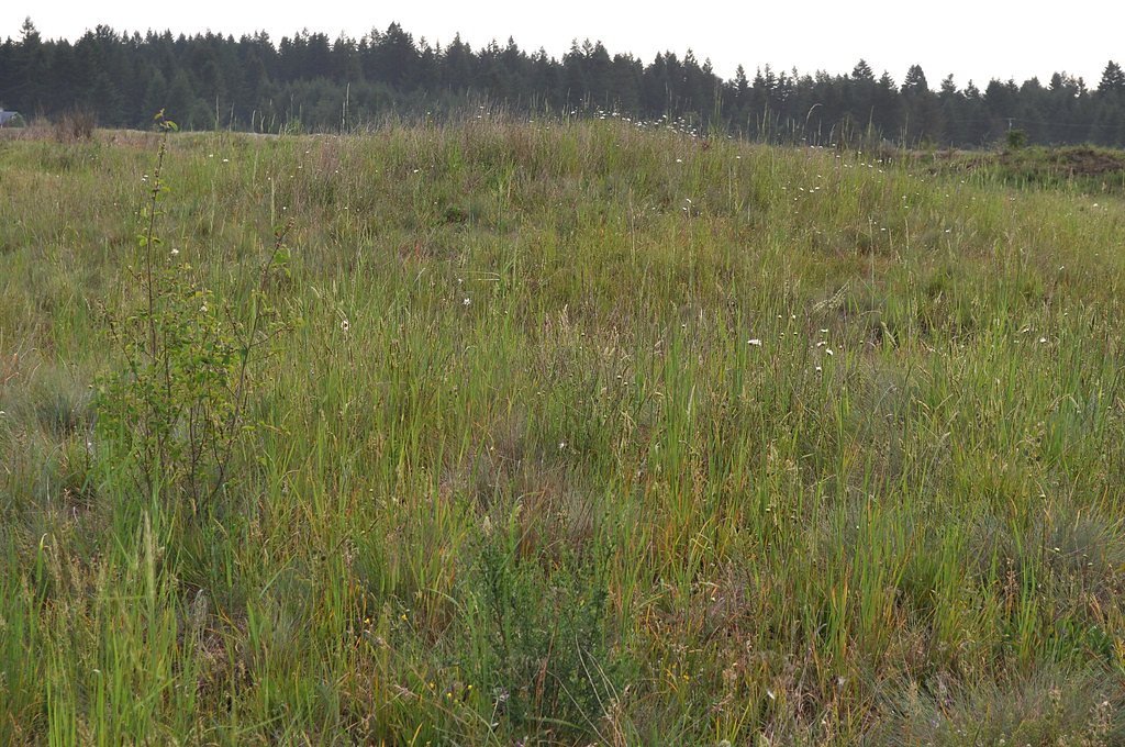
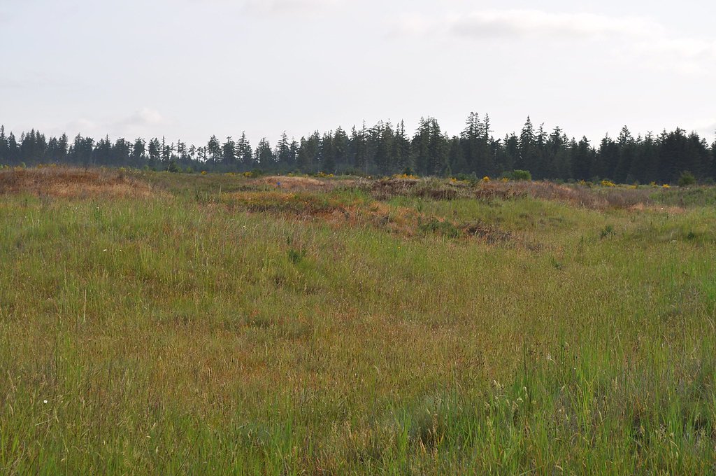
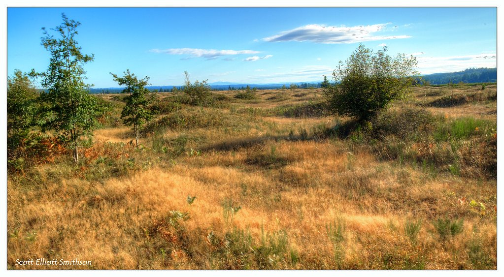
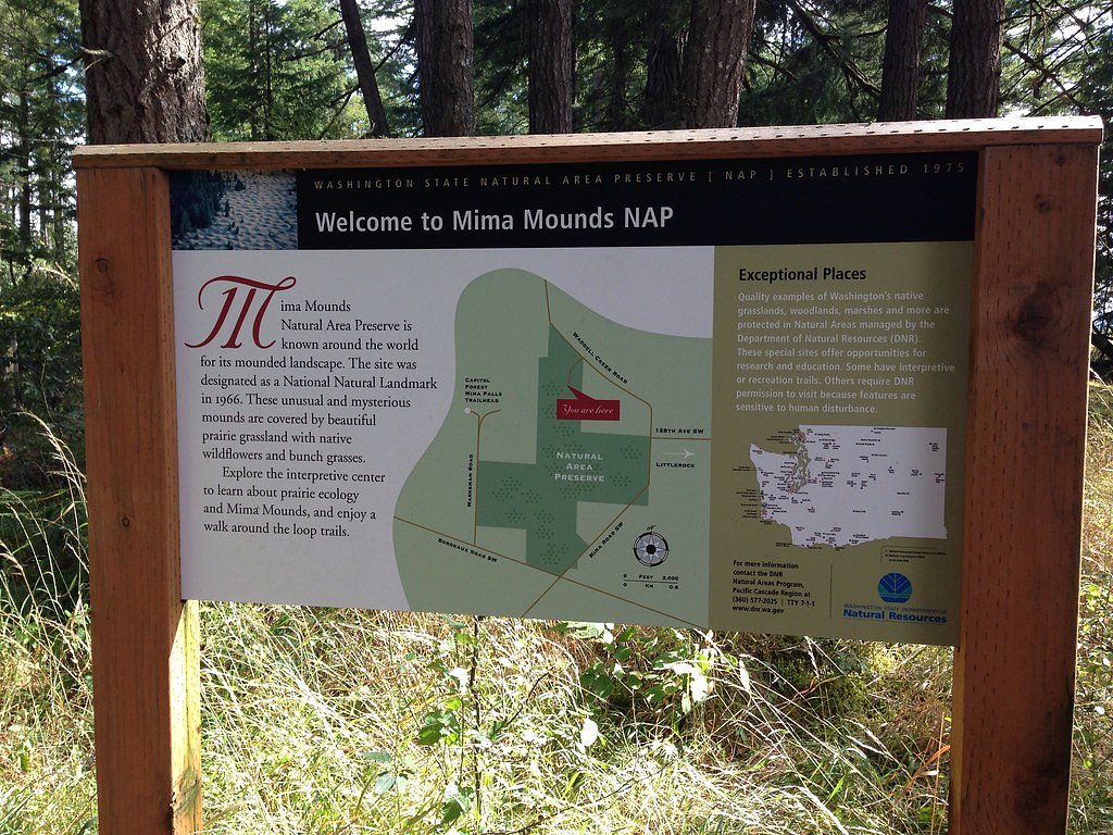
Nearby attractions include the Mima Mounds Natural Area Preserve and other trails within Capitol State Forest.
Wildlife
The area is home to deer, birds, and small mammals. Keep an eye out for wildlife along the trail.
Cities near Mima Falls
Writing about Mima Falls? Embed this waterfall on your site for free.