Middle Creek Falls
By Armen Suny · Last verified Mar 2026
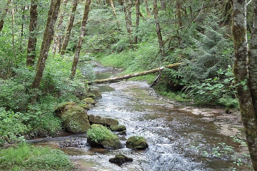

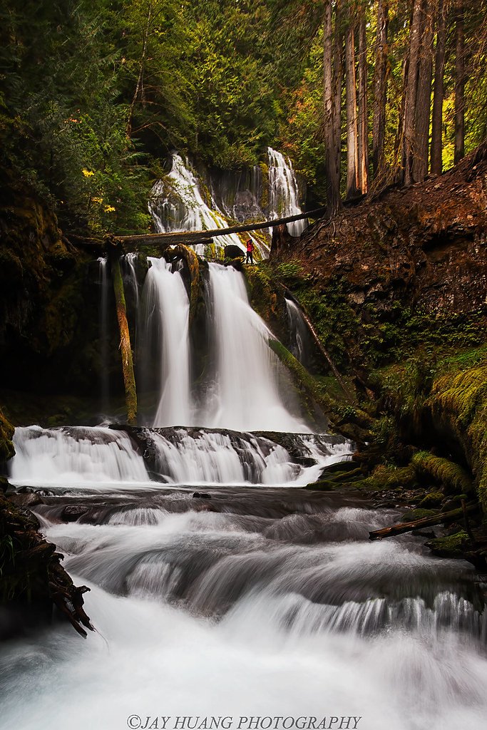
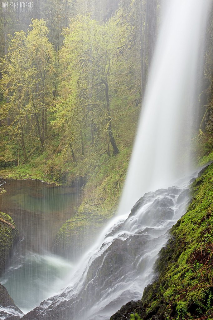
Photo Credits (5)
Difficulty
Moderate
Trail Length
2.0 miles
Trail Type
Out And Back
Elevation Gain
300 ft
About Middle Creek Falls
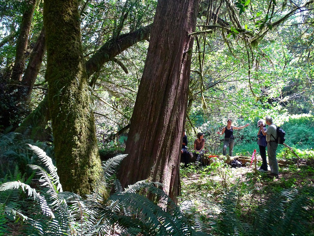
Middle Creek Falls is a quiet, picturesque waterfall tucked into Oregon’s lush forest on public BLM land. The site sits within the Bureau of Land Management’s Coos Bay Umpqua Field Office (designation: PUB), and its relatively low profile makes it a peaceful spot for hikers seeking a bit of solitude amid mossy trees and rushing water. The setting feels intimate and undisturbed—a true local gem where the forest canopy and the sound of the falls do most of the talking. The approach is an easy-to-moderate outing that rewards a short hike with scenic views and a tranquil atmosphere. Because the route is on BLM-managed public land, visitors should plan for a rustic experience—packed lunches and sturdy footwear make the trip more comfortable. The trail’s manageable length and moderate challenge make Middle Creek Falls a great half-day destination for hikers who enjoy quiet woodland streams and natural scenery.
The Setting
Middle Creek Falls sits at 164 feet within Coos Bay Umpqua Field Office, in the coastal lowlands of Oregon.
Trail & Hike Details
The Approach
The moderate 2.0-mile out-and-back trail gains 300 feet of elevation on the way to the falls.
Trail Description
2.0-mile out-and-back with about 300 feet of elevation gain; rated moderate. The trail follows natural dirt singletrack through dense forest, with uneven footing and occasional steep sections—expect roots, rocks, and some slick spots near the creek. Overall grade is modest but includes short steeper pitches; this is a straightforward hiking route (moderate class) rather than technical scrambling. No formal developed trail surface is listed, so wear supportive shoes and be prepared for typical backcountry conditions on BLM-managed land.
What to Expect
Visitors can expect a tranquil hike through a forested area leading to a beautiful waterfall. The area around the falls may be slippery, especially after rain, so caution is advised.
Accessibility
The trail is not wheelchair accessible. Uneven terrain and elevation changes require steady footing.
Frequently Asked Questions
🐶 Are Dogs Allowed at Middle Creek Falls?
❌ Dogs are not allowed
Are There Any Fees or Permits Required?
🆖 No fees required
🏊 Is There Swimming at Middle Creek Falls?
❌ Swimming is not allowed
When to Visit
Spring and early summer are ideal times to visit, as the waterfall is likely to have the most water flow during these seasons.
Seasonal Access
The best time to visit is Spring, Summer, and Fall. Winter access may be limited.
Safety Information
The trail may be slippery after rain, and the area around the falls can be hazardous due to wet rocks. Visitors should exercise caution and stay on marked trails.
Current Water Conditions
105 ft³/s
Current discharge — how much water is flowing
About average for this time of year
Based on 25 years of record
3.84 ft
Water depth at gauge
69°F
CoolRefreshing for swimming
7-Day Discharge Trend
What does this mean for your visit?
Flow is about average for this time of year. Water temperature is a refreshing 69 degrees F, good for a quick swim.
About This Gauge
This gauge is on a nearby waterway and may not reflect exact conditions at the falls.
7-Day Flow Outlook
Based on the USGS gauge N FK COQUILLE R NR MYRTLE POINT, OR (18 km away).
Today
Barely Flowing
111 cfs
3/10Tomorrow
Low
121 cfs
4/10Sun
Low
111 cfs
4/10Mon
Barely Flowing
94 cfs
5/10Tue
Barely Flowing
93 cfs
5/10Wed
Barely Flowing
89 cfs
5/10Thu
Barely Flowing
91 cfs
3/10Best window: Mon — barely flowing flow, partly sunny (trip score 5/10).
Best time of year: this gauge typically runs highest from mid January to late February, peaking in January.
How we calculate this
This is a transparent outlook, not a precise forecast. We take the waterfall's current flow strength (how it ranks against its historical normal for today, from the nearest USGS stream gauge), carry that ranking forward along the gauge's seasonal curve, and nudge it for forecast rain. Confidence is highest for the next day or two and falls further out. Always check official conditions and your own judgment before visiting — high flows can be dangerous.
Know when to go.
Get a free email alert when waterfalls near Coquille hit peak flow. We only send when conditions are worth the trip — no weekly newsletters, no spam.
Weather Forecast
Location & Access
Getting There
Middle Creek Falls is located in Oregon, but specific directions to the trailhead or parking area are not well-documented. Visitors are advised to consult local maps or guides for accurate navigation.
Get Directions on Google MapsParking
Parking availability is unclear, but it may be limited. Visitors should plan accordingly and arrive early during peak seasons.
Elevation
164 feet above sea level
Coordinates
43.215111° N, -124.010934° W
Land Management
Managed by BLM
Visitor Tips & Gear
Wear sturdy hiking shoes and bring plenty of water. Arrive early to avoid crowds and ensure parking availability. Check weather conditions before your visit, as the trail may become muddy or slippery after rain.
As an Amazon Associate, we earn from qualifying purchases.
With 2.0 miles and 300 ft of elevation gain, sturdy boots and trekking poles will help on this moderate trail. Sun exposure on the trail makes good sun protection a must in summer.

Polarized Sunglasses (Knockaround)
Cuts glare off the water so you actually see the falls — and your photos turn out better too.

Columbia Watertight II Rain Jacket
Packs into its own pocket, seam-sealed, and keeps you dry from spray and surprise rain.

Earth Pak Waterproof Dry Bag
Keeps your phone and gear dry when waterfall mist soaks everything else.

Waterproof Phone Pouch (AiRunTech)
Cheap insurance — take photos right next to the falls without killing your phone.

Timberland Euro Sprint Mid Waterproof
Trusted waterproof boot with premium leather and grippy rubber sole — reliable on rocky, wet trails.

TrailBuddy Trekking Poles
Lightweight aluminum, cork grips, and flip-locks that actually hold — a best-seller for good reason.
Where to Stay

Plainview Motel

Mid-century home with floor-to-ceiling windows & great views

Edgewater Inn and Suites, an Ascend Collection Hotel

Itty Bitty Inn
Browse vacation cabins and private rentals nearby
Unique outdoor stays — tents, yurts, and treehouses
Rent a campervan or RV for your waterfall road trip
Some links are affiliate links. We may earn a commission at no extra cost to you.
Nearby Campground
HORSFALL SAND CAMPING
19.6 miles away · 36 sites
Overview The Horsfall Sand Camping Area is an outstanding destination for off-road vehicle enthusiasts. Sites are located directly on the sand at the southern end of the Oregon Dunes National Recreation Area. From here, adventure seekers can experience the thrill of riding through vast open dunes or meandering through designated sand routes surrounded by coastal forest. The tops of the dunes provide prime views of the Pacific Coast to the west and the foothills of the Oregon Coast Range to the ea
Book on Recreation.govAdditional Information
Nearby Attractions
Other waterfalls and hiking trails in the region may be worth exploring. Check local guides for recommendations.
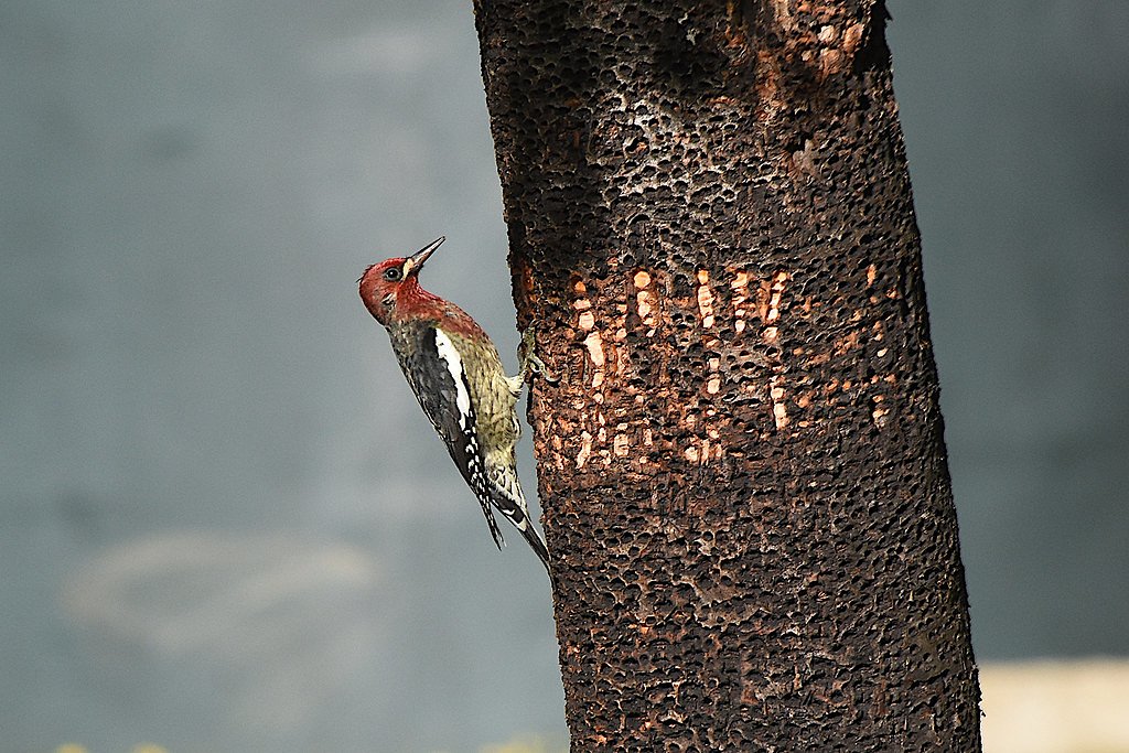
Wildlife
The area is home to typical Oregon forest wildlife, including birds, deer, and small mammals. Be cautious of potential encounters with bears or other larger animals.
Cities near Middle Creek Falls
Nearby Waterfalls
Other waterfalls named Middle Creek Falls
1 other waterfall shares this name across the U.S.
Writing about Middle Creek Falls? Embed this waterfall on your site for free.