McNabb Falls
By Armen Suny · Last verified Mar 2026
Photo Credits (2)
Difficulty
Moderate
Trail Length
2.4 miles
Trail Type
Out And Back
Elevation Gain
350 ft
About McNabb Falls
McNabb Falls is a picturesque cascade tucked into the forested slopes of the Willamette National Forest in Oregon. Managed by the U.S. Forest Service, the falls reward visitors with a peaceful, woodsy setting that feels comfortably remote—an ideal short outing for hikers and photographers looking for a scenic stop without a long approach. Access to the falls follows the USFS CHIMNEY PEAK Trail (Trail #3382). The commonly hiked out-and-back route to McNabb Falls is about 2.4 miles with roughly 350 feet of elevation gain and is rated moderate; the official trail is mapped by the Forest Service and offers a natural, lightly rugged experience on native tread through mature forest.
The Setting
McNabb Falls sits at 2,224 feet within Willamette National Forest, fed by the Quartzville Creek, in the hills of Oregon.
Trail & Hike Details
The Approach
The moderate hike follows Chimney Peak (#3382), a 2.4-mile out-and-back trail over natural surface. Expect 350 feet of elevation gain with grades of 12-20%. The trail is developed (Class 3).
USFS Trail
CHIMNEY PEAK #3382
Trail Class
Developed
Surface
Avg Grade
USFS Segment
3.49 miTrail Description
USFS CHIMNEY PEAK Trail #3382 leads to McNabb Falls as an out-and-back route. USFS trail data lists the tread as NATIVE MATERIAL, the trail class as 3, and a typical grade of 12–20%. The commonly used walking route to the falls is about 2.4 miles with approximately 350 feet of elevation gain and a moderate difficulty rating; the trail is also shown at 3.49 GIS miles on USFS maps. Expect mostly natural, uneven surface conditions—trail can become muddy or slippery after rain—so wear sturdy shoes and be prepared for short, moderately steep sections.
What to Expect
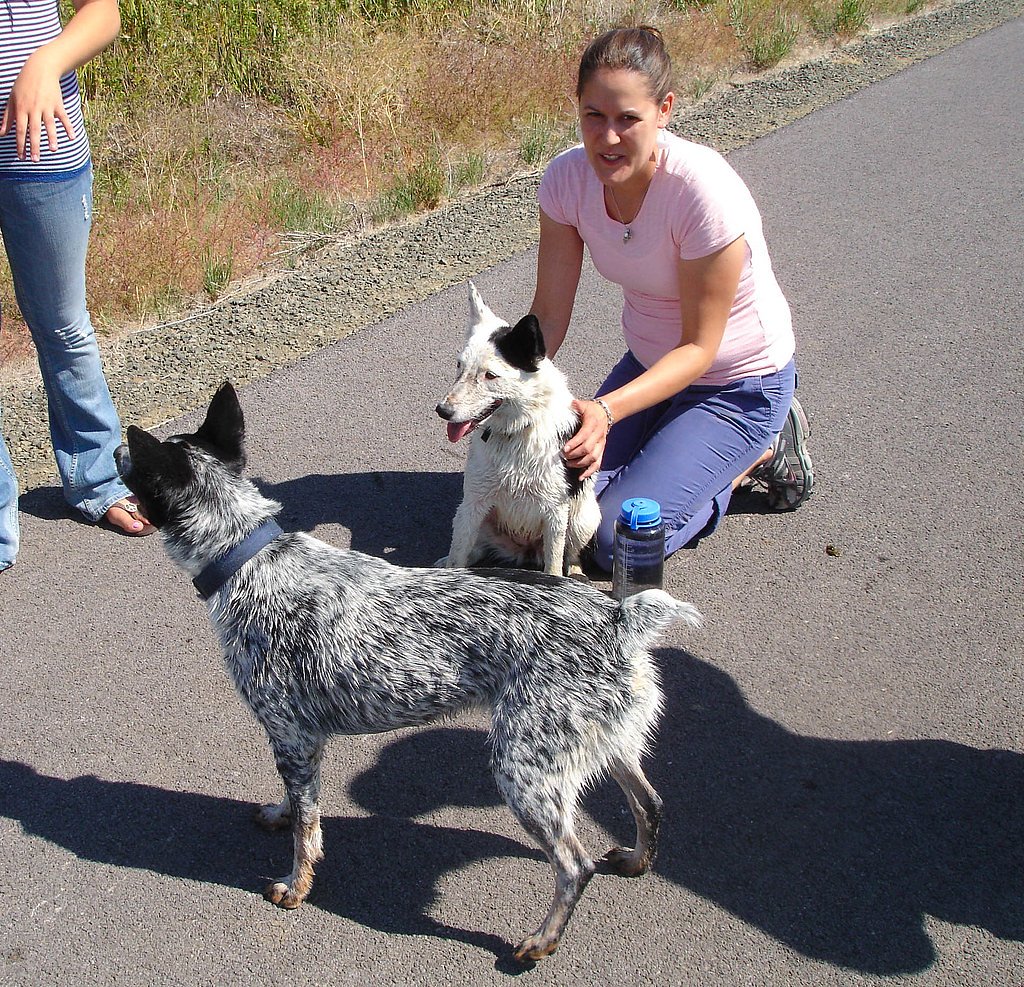
Dogs are welcome.
Accessibility
The trail is not wheelchair accessible. Uneven terrain and elevation changes require steady footing.
Frequently Asked Questions
🐶 Are Dogs Allowed at McNabb Falls?
✅ Dogs are allowed
Are There Any Fees or Permits Required?
🆖 No fees required
🏊 Is There Swimming at McNabb Falls?
❌ Swimming is not allowed
When to Visit
Spring and early summer are ideal times to visit, as the waterfall is likely to have a stronger flow due to snowmelt and rainfall.
Seasonal Access
The best time to visit is Spring, Summer, and Fall. Winter access may be limited. Check with Willamette National Forest for seasonal road closures.
Safety Information
Exercise caution near the waterfall, as rocks can be slippery. Be aware of changing weather conditions and check for road closures during winter.
Current Water Conditions
29 ft³/s
Current discharge — how much water is flowing
Much lower than usual for this time of year
Based on 1 years of record
8.78 ft
Water depth at gauge
59°F
ColdBracing — limit time in water
7-Day Discharge Trend
What does this mean for your visit?
Flow is well below normal for this time of year, so the waterfall may be a trickle. Water temperature is a bracing 59 degrees F, limit your time in the water.
About This Gauge
This gauge is on a nearby waterway and may not reflect exact conditions at the falls.
7-Day Flow Outlook
Based on the USGS gauge QUARTZVILLE CREEK BLW GALENA CREEK NR CASCADIA, OR (11 km away).
Today
Barely Flowing
31 cfs
3/10Tomorrow
Low
34 cfs
3/10Sun
Low
32 cfs
4/10Mon
Low
28 cfs
4/10Tue
Low
28 cfs
4/10Wed
Low
27 cfs
4/10Thu
Low
25 cfs
4/10Best window: Sun — low flow, rain showers then light rain likely (trip score 4/10).
Best time of year: this gauge typically runs highest from mid January to early February, peaking in January.
How we calculate this
This is a transparent outlook, not a precise forecast. We take the waterfall's current flow strength (how it ranks against its historical normal for today, from the nearest USGS stream gauge), carry that ranking forward along the gauge's seasonal curve, and nudge it for forecast rain. Confidence is highest for the next day or two and falls further out. Always check official conditions and your own judgment before visiting — high flows can be dangerous.
Know when to go.
Get a free email alert when waterfalls near Detroit hit peak flow. We only send when conditions are worth the trip — no weekly newsletters, no spam.
Weather Forecast
Location & Access
Getting There
McNabb Falls is located off Forest Road 28 in the Umpqua National Forest. The falls can be accessed via a short walk from the road, but the exact trail conditions may vary depending on the season.
Get Directions on Google MapsParking
There is limited roadside parking available near the trailhead. Visitors should ensure they park safely without obstructing the road.
Elevation
2,224 feet above sea level
Coordinates
44.527298° N, -122.219465° W
Land Management
Managed by USFS
Visitor Tips & Gear
Wear sturdy shoes, especially if visiting after rain, as the trail may be muddy. Bring insect repellent during the summer months. Check road conditions before visiting, particularly in winter.
As an Amazon Associate, we earn from qualifying purchases.
With 2.4 miles and 350 ft of elevation gain, sturdy boots and trekking poles will help on this moderate trail. Sun exposure on the trail makes good sun protection a must in summer.

Polarized Sunglasses (Knockaround)
Cuts glare off the water so you actually see the falls — and your photos turn out better too.

Columbia Watertight II Rain Jacket
Packs into its own pocket, seam-sealed, and keeps you dry from spray and surprise rain.

Earth Pak Waterproof Dry Bag
Keeps your phone and gear dry when waterfall mist soaks everything else.

Waterproof Phone Pouch (AiRunTech)
Cheap insurance — take photos right next to the falls without killing your phone.

Timberland Euro Sprint Mid Waterproof
Trusted waterproof boot with premium leather and grippy rubber sole — reliable on rocky, wet trails.

TrailBuddy Trekking Poles
Lightweight aluminum, cork grips, and flip-locks that actually hold — a best-seller for good reason.
Where to Stay

Dog-friendly house with pool hot tub fitness room fireplace grill & deck

Rushing River Retreat

Remote Escape Riverside Home with Scenic Views

The Suttle Lodge & Boathouse
Browse vacation cabins and private rentals nearby
Unique outdoor stays — tents, yurts, and treehouses
Rent a campervan or RV for your waterfall road trip
Some links are affiliate links. We may earn a commission at no extra cost to you.
Nearby Campground
Yellowbottom Recreation Site
8.7 miles away · 21 sites
Overview Yellowbottom Recreation Site is closed to camping indefinitely. Visitor safety is our top priority. The nearby Old Miner's Meadow group campsite can be reserved on recreation.gov. Other camping may be available in surrounding national forest and county areas. Yellowbottom day use area remains open for use.Recreation Yellowbottom offers a one-mile hiking trail, access to Quartzville Creek Wild and Scenic River, and a take off point to explore nearby recreation trails. Facilities This smal
Book on Recreation.govNearby Hot Springs
Hot springs near Detroit, Oregon

Bigelow Hot Springs
Bigelow Hot Springs, also called Deer Creek Hot Springs, emerges at 142°F just 400 feet from Deer Creek Road in the Willamette ...

Bagby Hot Springs
Bagby Hot Springs flows at 136°F deep in Mount Hood National Forest at 2,272 feet elevation, requiring a 3,720-foot hike from F...

Cougar Reservoir Hot Springs
Cougar Reservoir Hot Springs, widely known as Terwilliger Hot Springs, flows at 111 degrees Fahrenheit with roadside access req...

Breitenbush Hot Springs
Breitenbush Hot Springs emerges at 198°F along the Breitenbush River, ranking as one of Oregon's hottest thermal features with ...
Foley Springs
Foley Springs emerges at 178°F in the Cascade Range of Lane County, making it one of Oregon's hottest thermal features with rec...
Belknap Springs
Belknap Springs flows at 160°F along the McKenzie River in the Cascade Range, emerging just 510 feet from North Belknap Springs...
Looking for a soak after your hike? Explore more hot springs near Detroit, Oregon on SoakingSprings.
Explore Oregon springsAdditional Information
Nearby Attractions
Other waterfalls in the Umpqua National Forest, such as Toketee Falls and Watson Falls, are located nearby and are worth visiting.
Wildlife
The area is home to various wildlife, including birds, deer, and small mammals. Visitors should be cautious of ticks and other insects.
Cities near McNabb Falls
Writing about McNabb Falls? Embed this waterfall on your site for free.