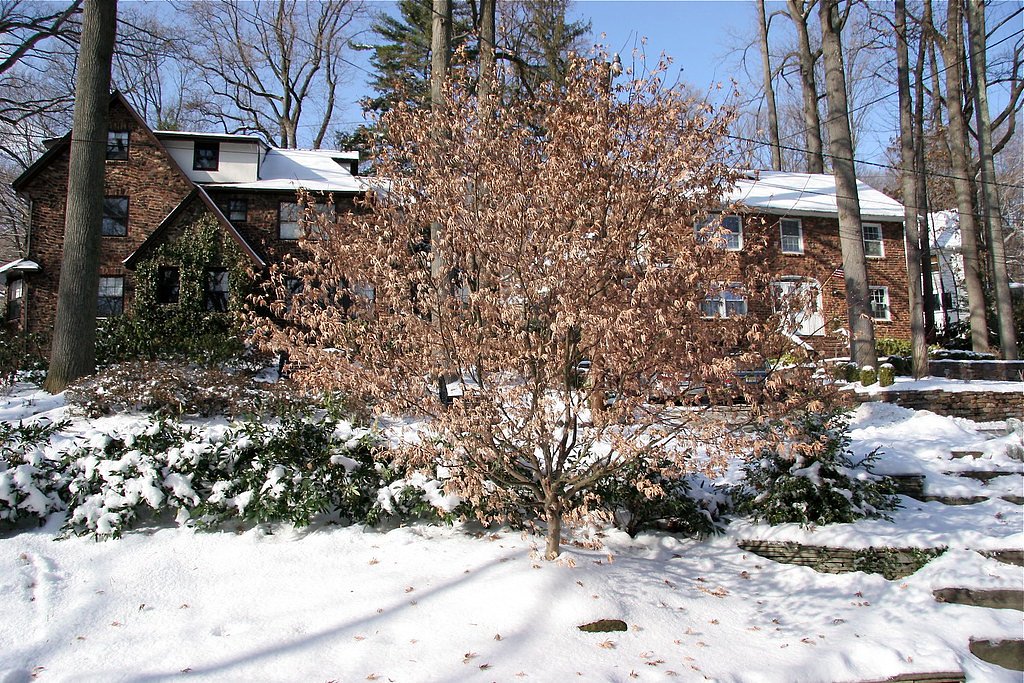
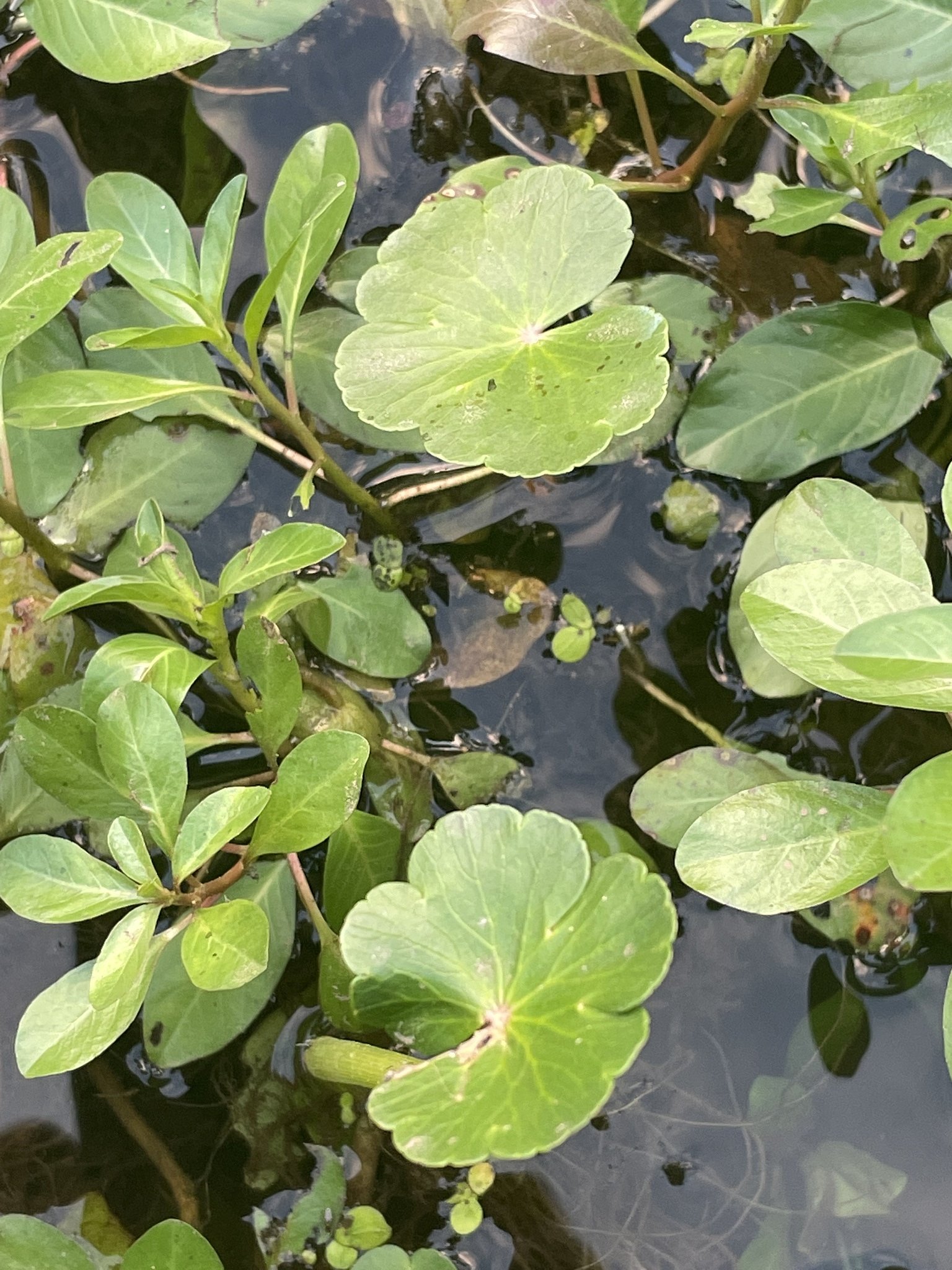
Photo Credits (2)
Difficulty
Easy
Trail Length
1.5 miles
Trail Type
Out And Back
About Maple Falls
Maple Falls is a small, picturesque cascade tucked into South Mountain Reservation, offering a peaceful woodland escape not far from urban New Jersey. Nestled within the county-managed reservation (designation: LCA, manager: CNTY), the falls are at their most dramatic in spring and after heavy rains, when runoff swells the drop and the surrounding maples and hemlocks glisten. The scene is intimate rather than grand — ideal for photographers and anyone looking for a short nature outing. The setting feels like classic northeastern forest hiking: shaded trails, leaf litter underfoot, and occasional glimpses of the Rahway River corridor as you approach. Because the site sits on county land and is accessed via well-established paths, visitors can expect a maintained experience without the backcountry remoteness of state or federal wilderness areas.
The Setting
Maple Falls sits at 322 feet within South Mountain Reservation, fed by the West Branch Rahway River, in the coastal lowlands of New Jersey.
Trail & Hike Details
Trail Description
The approach to Maple Falls is a 2.4-mile out-and-back trail with about 350 feet of elevation gain and a moderate difficulty rating. The path is well-marked and passes through wooded terrain with occasional views toward the Rahway River; while the route is relatively short, the modest climbs make it more than a flat stroll. Suitable for most moderately fit hikers and families comfortable with moderate grades, the trail provides a compact, rewarding hike that leads directly to the waterfall within South Mountain Reservation (managed by CNTY).
What to Expect
Dogs are welcome.
Accessibility
The trail is not wheelchair accessible. Uneven terrain and elevation changes require steady footing.
Frequently Asked Questions
🐶 Are Dogs Allowed at Maple Falls?
✅ Dogs are allowed
Are There Any Fees or Permits Required?
🆖 No fees required
🏊 Is There Swimming at Maple Falls?
❌ Swimming is not allowed
When to Visit
The best time to visit Maple Falls is during the spring or after a period of rainfall, as the water flow is strongest during these times.
Seasonal Access
The best time to visit is Spring, Summer, and Fall. Winter access may be limited.
Safety Information
Be cautious of slippery rocks near the waterfall, especially after rain. Stay on marked trails to avoid getting lost.
Current Water Conditions
1.54 ft
Water depth at gauge
About This Gauge
Know when to go.
Get a free email alert when waterfalls near Short Hills hit peak flow. We only send when conditions are worth the trip — no weekly newsletters, no spam.
Weather Forecast
The Terrain, Seen by LiDAR
Aircraft-mounted lasers measured this ground to within inches. Trees and buildings are digitally stripped away, leaving the bare shape of the land the water has carved.
1-meter lidar measures about 126 feet of descent through Maple Falls, a steep tiered drop rather than a single free fall. The brink sits at about 319 feet above sea level.
Steep ground runs through the entire stretch: about 69 feet of descent in the 500 feet above the pin and 98 feet in the 500 feet below it. Facing west, the falls glow in afternoon and evening light.
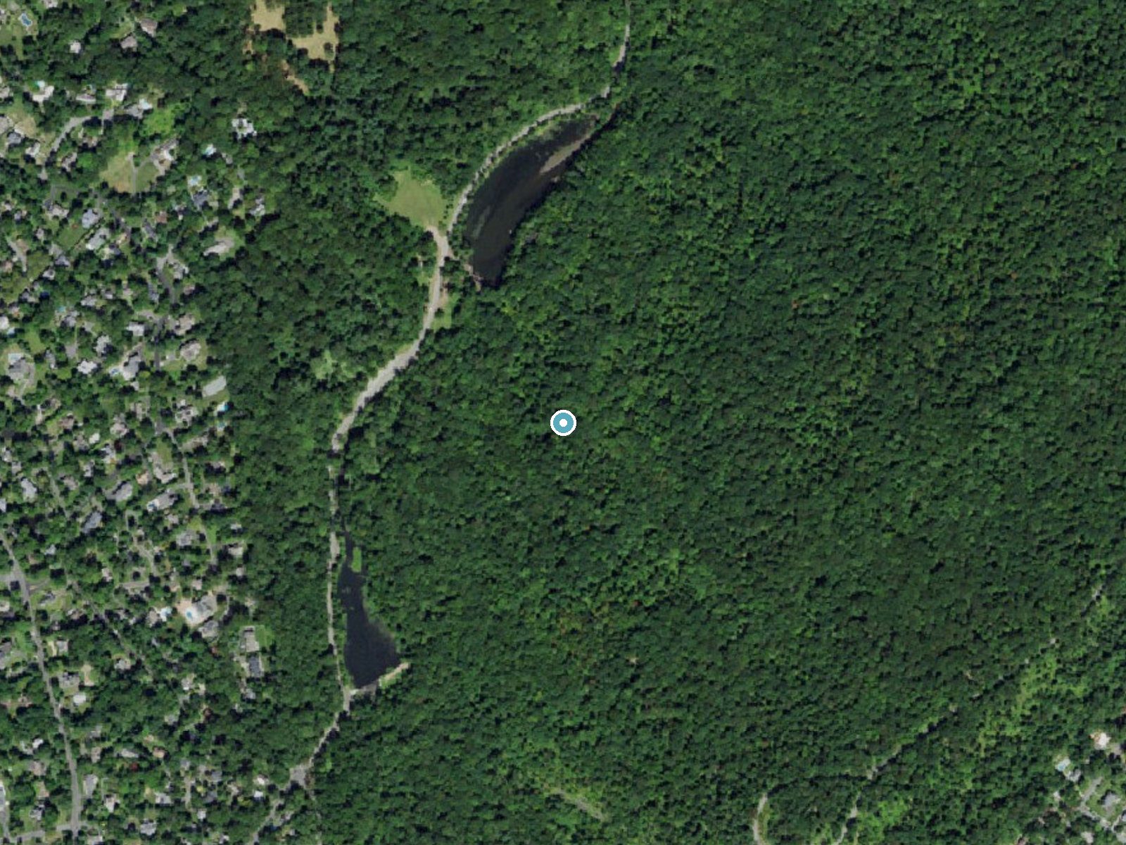
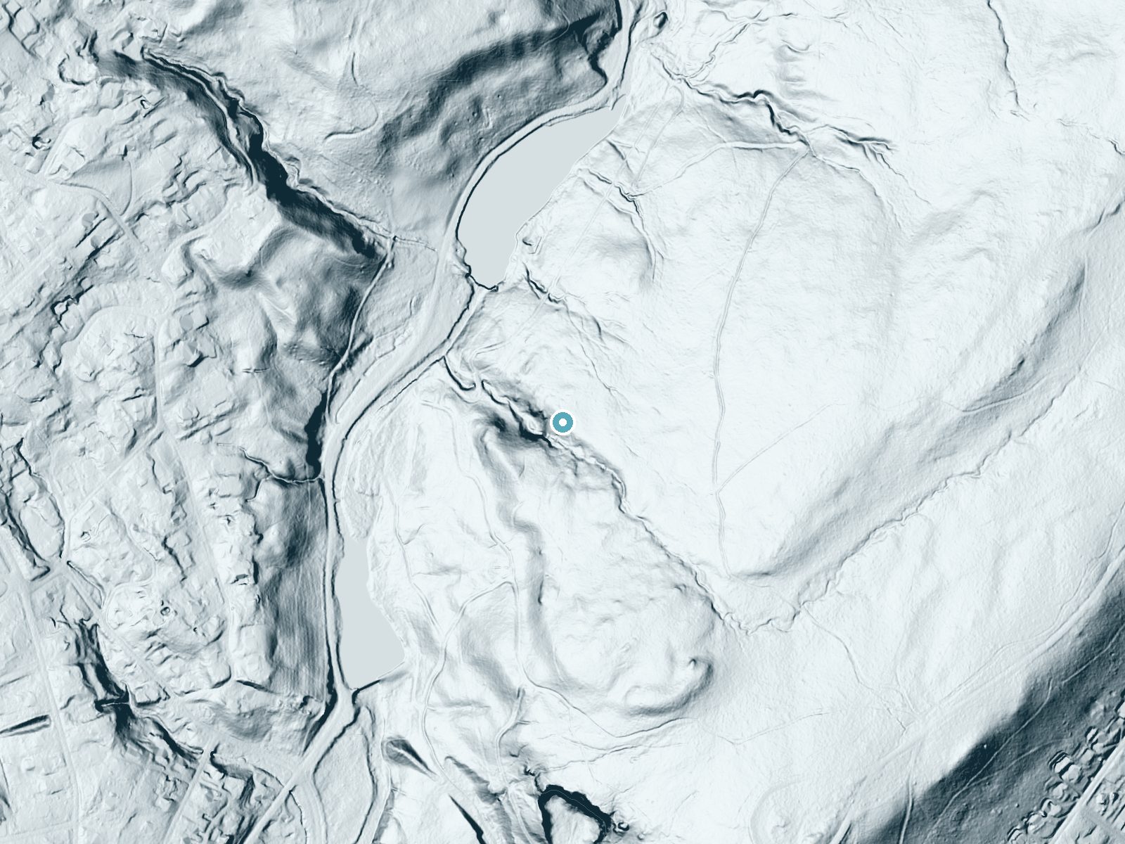
Drag to compare. The dot marks the waterfall. The frame is about a mile across.
- Ground elevation
- 319 feet
- Measured by 1-meter lidar
- Drop at the falls
- About 126 feet
- Change in ground height within ~250 feet of the falls
- Faces
- West
- Glows in afternoon and evening light.
A slice through the lidar ground surface, from above the falls to downstream (heading west).
Elevation data: USGS 3D Elevation Program. Aerial imagery: USGS The National Map. Public domain.
Location & Access
Getting There
Maple Falls is located within the South Mountain Reservation in Essex County, New Jersey. The falls can be accessed via the reservation's network of trails. The closest parking area is typically the Locust Grove parking lot.
Get Directions on Google MapsParking
Parking is available at the Locust Grove lot, which serves as a trailhead for accessing Maple Falls. Parking is free but may fill up during weekends and peak seasons.
Hours
Elevation
322 feet above sea level
Coordinates
40.734546° N, -74.303760° W
Land Management
Managed by CNTY
Visitor Tips & Gear
Visit early in the morning or on weekdays to avoid crowds. Wear sturdy shoes as the trail may be muddy after rain. Bring insect repellent during the summer months.
Where to Stay

The Kenilworth Hotel - Airport West

Holiday Inn Express & Suites Linden - Newark South by IHG

Homewood Suites by Hilton Newark-Cranford

Hilton Garden Inn Springfield
Browse vacation cabins and private rentals nearby
Unique outdoor stays — tents, yurts, and treehouses
Rent a campervan or RV for your waterfall road trip
Some links are affiliate links. We may earn a commission at no extra cost to you.
Nearby Campground
CAMP GATEWAY - STATEN ISLAND
16 miles away · 7 sites
Overview This campground boasts a spectacular view of the Verrazzano-Narrows Bridge, the longest vehicle suspension span in the United States. When it opened in 1964, it was the longest span in the world for 17 years. It connects Fort Hamilton in Brooklyn and Fort Wadsworth in Staten Island. Not far from the campground is an overlook area which features a vantage point to view the Statue of Liberty NM, the Manhattan Skyline and various forts and batteries in the New York Harbor region. Fortificat
Book on Recreation.govAdditional Information
Nearby Attractions
The South Mountain Reservation offers additional hiking trails, picnic areas, and scenic overlooks. The Turtle Back Zoo and the Essex County Environmental Center are also nearby.
Wildlife
The area is home to various bird species, deer, and small mammals. Visitors may also encounter frogs and other amphibians near the water.
Cities near Maple Falls
Other waterfalls named Maple Falls
3 other waterfalls share this name across the U.S.
Writing about Maple Falls? Embed this waterfall on your site for free.