Photo Credits (2)
Difficulty
Moderate
Trail Length
2.4 miles
Trail Type
Out And Back
Elevation Gain
350 ft
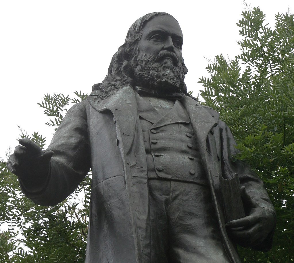
About Manly Fall (historical)
Manly Fall (historical) is a dry, seasonal waterfall site in California named for William L. Manly, the pioneer long associated with the Death Valley region. Once fed by intermittent runoff, the cascade no longer flows regularly and is best appreciated now for its geologic setting and the human history tied to the name rather than as an active water feature. Visitors often come for the sense of remoteness and the story of early California exploration rather than a leaping plunge of water. The site sits on public land managed by the Bureau of Land Management’s Ridgecrest Field Office (Designation: PUB). Because the feature is historic and intermittently active, conditions can vary widely; hikers interested in the site should check with the Ridgecrest Field Office for access details, seasonal conditions, and any land-status advisories before planning a visit.
The Setting
Manly Fall (historical) sits at 1,526 feet within Ridgecrest Field Office, in the hills of California.
Trail & Hike Details
The Approach
The moderate 2.4-mile out-and-back trail gains 350 feet of elevation on the way to the falls.
Trail Description
Access to Manly Fall is via a moderate out-and-back route of roughly 2.4 miles round trip with about 350 feet of elevation gain. The hike is rated moderate and is typically a short, straightforward outing—ideal for those who want a brief backcountry experience and a look at a seasonal, historical waterfall site on BLM-managed land. Detailed trail surface, grade, and official USFS/BLM trail class data are not documented in the available records, so expect natural terrain typical of desert and foothill approaches and plan accordingly. Bring adequate water and sun protection, wear sturdy footwear, and contact the Ridgecrest Field Office for the latest trail conditions, access points, and any travel advisories before heading out.
What to Expect
Visitors can expect to see a historical site rather than an active waterfall. The area may provide insight into the geological and environmental history of Death Valley.
Accessibility
The trail is not wheelchair accessible. Uneven terrain and elevation changes require steady footing.
Frequently Asked Questions
🐶 Are Dogs Allowed at Manly Fall (historical)?
❌ Dogs are not allowed
Are There Any Fees or Permits Required?
🤑 Fee: $30.00
🏊 Is There Swimming at Manly Fall (historical)?
❌ Swimming is not allowed
When to Visit
Spring and fall are typically the best times to visit Death Valley due to milder temperatures. Summer can be extremely hot, and winter nights can be very cold.
Seasonal Access
The best time to visit is Spring, Summer, Fall, and Winter.
Safety Information
Death Valley is known for extreme heat, especially in summer. Carry plenty of water, avoid hiking during the hottest parts of the day, and be aware of your physical limits. Cell phone service may be limited.
Know when to go.
Get a free email alert when waterfalls near Homewood Canyon hit peak flow. We only send when conditions are worth the trip — no weekly newsletters, no spam.
Weather Forecast
Location & Access
Getting There
Manly Fall is located within the Death Valley National Park area in California. Specific directions to the site may vary, and visitors should consult park maps or ranger stations for guidance.
Get Directions on Google MapsParking
Parking availability is unclear, but visitors may need to park at nearby trailheads or designated areas within Death Valley National Park.
Elevation
1,526 feet above sea level
Coordinates
35.937451° N, -117.186165° W
Land Management
Managed by BLM
Visitor Tips & Gear
Bring plenty of water, especially during warmer months, as Death Valley is known for extreme heat. Wear sturdy shoes and be prepared for desert conditions.
As an Amazon Associate, we earn from qualifying purchases.
With 2.4 miles and 350 ft of elevation gain, sturdy boots and trekking poles will help on this moderate trail. Icy conditions are common in winter — traction cleats are a smart addition.

Columbia Watertight II Rain Jacket
Packs into its own pocket, seam-sealed, and keeps you dry from spray and surprise rain.

Polarized Sunglasses (Knockaround)
Cuts glare off the water so you actually see the falls — and your photos turn out better too.

Earth Pak Waterproof Dry Bag
Keeps your phone and gear dry when waterfall mist soaks everything else.

Waterproof Phone Pouch (AiRunTech)
Cheap insurance — take photos right next to the falls without killing your phone.

Timberland Euro Sprint Mid Waterproof
Trusted waterproof boot with premium leather and grippy rubber sole — reliable on rocky, wet trails.

TrailBuddy Trekking Poles
Lightweight aluminum, cork grips, and flip-locks that actually hold — a best-seller for good reason.
Where to Stay
Browse vacation cabins and private rentals nearby
Unique outdoor stays — tents, yurts, and treehouses
Rent a campervan or RV for your waterfall road trip
Some links are affiliate links. We may earn a commission at no extra cost to you.
Nearby Hot Springs
Hot springs near Homewood Canyon, California
Warm Sulphur Springs
Warm Sulphur Springs emerges at 80°F in the northern Mojave Desert near Searles Valley, flowing only 5.7 degrees above the scor...
Warm Spring
Warm Spring sits in Death Valley's remote backcountry more than 7 miles from West Side Road at 2,460 feet elevation, accessible...
Bainter Spring
Bainter Spring emerges at 92°F (33°C) on Bureau of Land Management lands near Searles Valley in the Argus Range, a remote deser...

Coso Hot Springs
Coso Hot Springs surges from the earth at an extreme 207°F (97°C) within the Coso Volcanic Field, representing one of Californi...

Unnamed Spring Kern County 1
An 80-degree spring rises at 3,200 feet in the Mojave Desert's high country, 15.5 degrees warmer than the surrounding air, acce...
Devils Kitchen
Devils Kitchen emerges at an extreme 207°F from volcanic terrain within Naval Air Weapons Station China Lake, featuring some of...
Looking for a soak after your hike? Explore more hot springs near Homewood Canyon, California on SoakingSprings.
Explore California springsAdditional Information
Nearby Attractions
Other attractions in Death Valley National Park include Badwater Basin, Zabriskie Point, and Mesquite Flat Sand Dunes.
Wildlife
The area may feature desert wildlife such as lizards, snakes, and birds. Be cautious of potentially dangerous animals like rattlesnakes.
Cities near Manly Fall (historical)
Writing about Manly Fall (historical)? Embed this waterfall on your site for free.