
Madrid Falls
Texas • 100 ft
By Armen Suny · Last verified Sep 2026
LiDAR & 3D terrain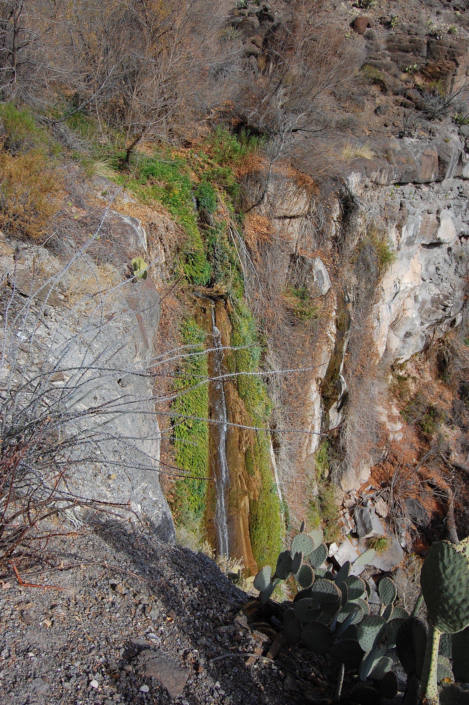
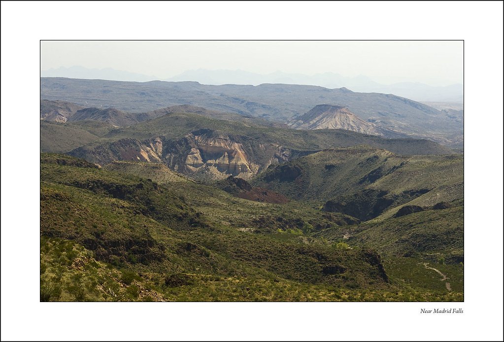
Photo Credits (3)
Difficulty
Hard
Trail Length
8.0 miles
Trail Type
Out And Back
About Madrid Falls
Madrid Falls is the second tallest waterfall in Texas, located within Big Bend Ranch State Park. It is a remote and scenic waterfall that flows along the Rio Grande, surrounded by rugged desert terrain and dramatic cliffs. The waterfall is seasonal and typically flows after significant rainfall.
The Setting
Madrid Falls sits at 3,681 feet within Big Bend Ranch State Park, in the mountains of Texas. At 100 feet, it is among the taller waterfalls in Texas.
Height: 100 feet
Trail & Hike Details
Trail Description
The trail to Madrid Falls is rugged and remote, passing through desert landscapes and offering stunning views of the surrounding canyons. The trail is not well-maintained, and hikers should be prepared for uneven terrain and potential navigation challenges.
What to Expect
The falls cascade 100 feet.
Accessibility
The trail involves steep, uneven terrain with significant elevation change and is not accessible to mobility devices.
Frequently Asked Questions
🐶 Are Dogs Allowed at Madrid Falls?
❌ Dogs are not allowed
Are There Any Fees or Permits Required?
🤑 Fee: $5.00
Permit required
A day-use permit is required to enter Big Bend Ranch State Park. Permits can be obtained at the park office.
🏊 Is There Swimming at Madrid Falls?
❌ Swimming is not allowed
When to Visit
The best time to visit Madrid Falls is in the spring or fall, when temperatures are cooler and there is a higher chance of water flow after seasonal rains.
Seasonal Access
The best time to visit is Spring and Fall. Winter access may be limited.
Safety Information
Visitors should be prepared for extreme desert conditions, including high temperatures, limited shade, and the potential for dehydration. Carry plenty of water and be aware of wildlife, including snakes. The trail is remote, so cell service may be unavailable, and help could be far away in case of an emergency.
Current Water Conditions
These readings come from the USGS gauge on Rio Grande, 27.3 miles away, not on Madrid Falls's own stream. Use them as a sign of whether the area is running wet or dry.
51 ft³/s
Current discharge — how much water is flowing
Lower than usual for this time of year
Based on 19 years of record
2.65 ft
Water depth at gauge
7-Day Discharge Trend
What does this mean for your visit?
Flow is lower than usual for this time of year.
About This Gauge
This gauge is on a regional waterway. Conditions at the falls may differ, especially after local rain.
7-Day Flow Outlook
Based on the USGS gauge Rio Grande nr Castolon, TX (44 km away).
Today
Barely Flowing
51 cfs
5/10Tomorrow
Barely Flowing
45 cfs
5/10Sat
Barely Flowing
38 cfs
5/10Sun
Barely Flowing
37 cfs
3/10Mon
Low
37 cfs
3/10Tue
Low
40 cfs
3/10Wed
Barely Flowing
39 cfs
5/10Best window: Today — barely flowing flow, mostly sunny (trip score 5/10).
Best time of year: this gauge typically runs highest from early September to mid November, peaking in September.
How we calculate this
This is a transparent outlook, not a precise forecast. We take the waterfall's current flow strength (how it ranks against its historical normal for today, from the nearest USGS stream gauge), carry that ranking forward along the gauge's seasonal curve, and nudge it for forecast rain. Confidence is highest for the next day or two and falls further out. Always check official conditions and your own judgment before visiting — high flows can be dangerous.
Know when to go.
Get a free email alert when waterfalls near Study Butte hit peak flow. We only send when conditions are worth the trip — no weekly newsletters, no spam.
Weather Forecast
The Terrain, Seen by LiDAR
Aircraft-mounted lasers measured this ground to within inches. Trees and buildings are digitally stripped away, leaving the bare shape of the land the water has carved.
1-meter lidar shows Madrid Falls dropping about 305 feet in a single sheer step. That is more than the listed 100 feet because the gorge keeps dropping below the falls themselves. The brink sits at about 3,588 feet above sea level.
Steep ground runs through the entire stretch: about 203 feet of descent in the 500 feet above the pin and 77 feet in the 500 feet below it. Facing southeast, the falls sit in full sun for most of the day, best photographed early or late.
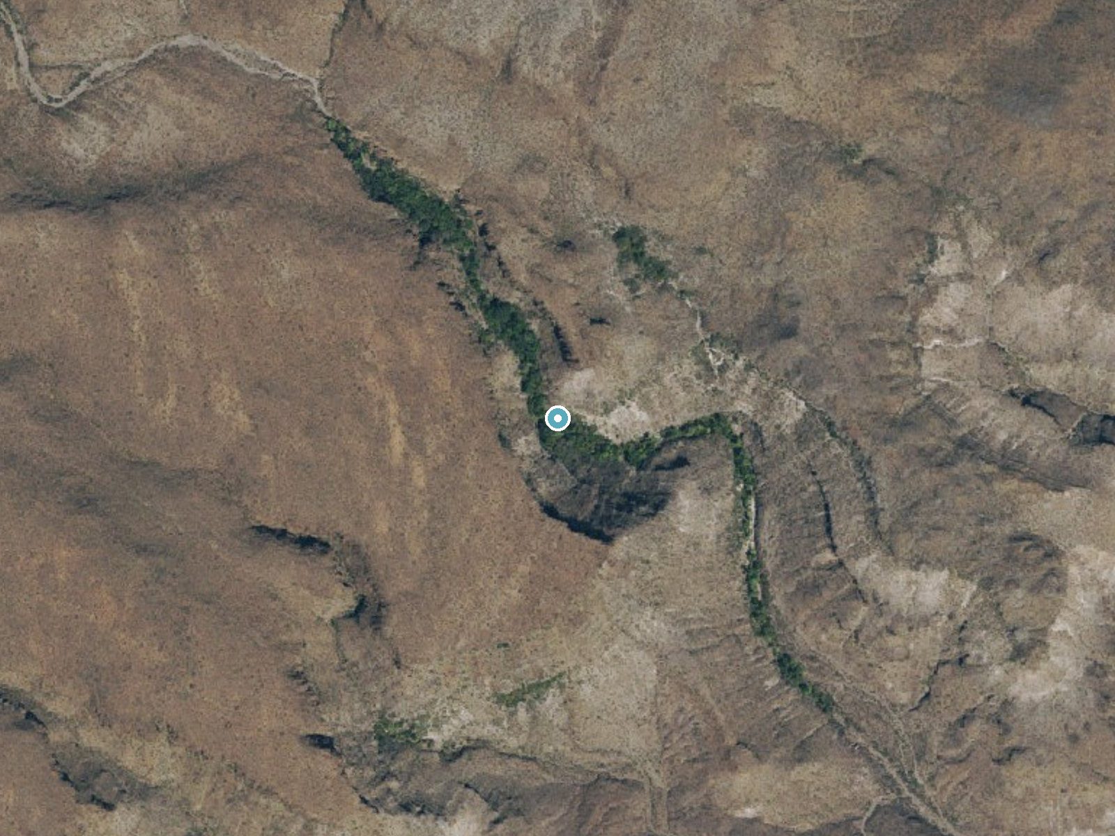
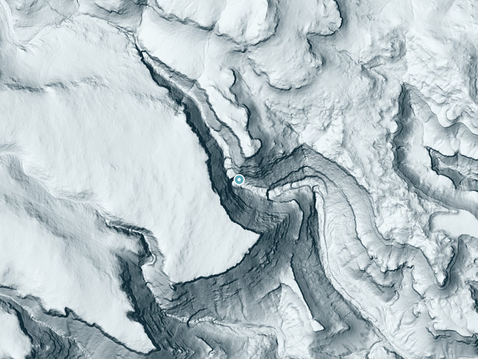
Drag to compare. The dot marks the waterfall. The frame is about a mile across.
- Ground elevation
- 3,588 feet
- Measured by 1-meter lidar
- Drop at the falls
- About 305 feet
- Change in ground height within ~250 feet of the falls
- Faces
- Southeast
- Sunlit most of the day. Go early or late for softer light.
A slice through the lidar ground surface, from above the falls to downstream (heading southeast).
Elevation data: USGS 3D Elevation Program. Aerial imagery: USGS The National Map. Public domain.
Location & Access
Getting There
Madrid Falls is located in Big Bend Ranch State Park, which is in a remote area of West Texas. Access to the falls requires a high-clearance vehicle to navigate rough roads, and the trailhead is not well-marked. Visitors should check with the park office for detailed directions and current road conditions.
Get Directions on Google MapsParking
Limited parking is available near the trailhead, but it may require a high-clearance vehicle to reach.
Elevation
3,681 feet above sea level
Coordinates
29.379791° N, -103.884026° W
Land Management
Managed by SPR
Visitor Tips & Gear
Bring plenty of water, as the desert environment can be extremely hot and dry. Wear sturdy hiking boots and be prepared for rough terrain. Check with the park office for current trail and road conditions before your visit.
Where to Stay
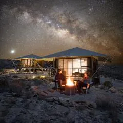
Camp Elena - Luxury Tents Minutes from Big Bend and Restaurants
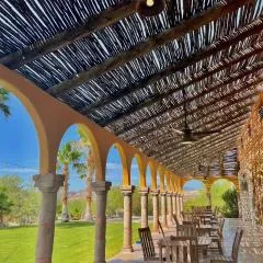
Lajitas Golf Resort

Container Home at Stardust Big Bend 5 min from Park
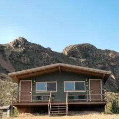
Terlingua Ranch Lodge
Browse vacation cabins and private rentals nearby
Unique outdoor stays — tents, yurts, and treehouses
Rent a campervan or RV for your waterfall road trip
Some links are affiliate links. We may earn a commission at no extra cost to you.
Nearby Hot Springs
Hot springs near Madrid Falls, Texas
Springs (Las Cienegas)
Springs at Las Cienegas flow at 86°F in the remote borderlands near Manuel Ojinaga, running 14 degrees above ambient temperatur...
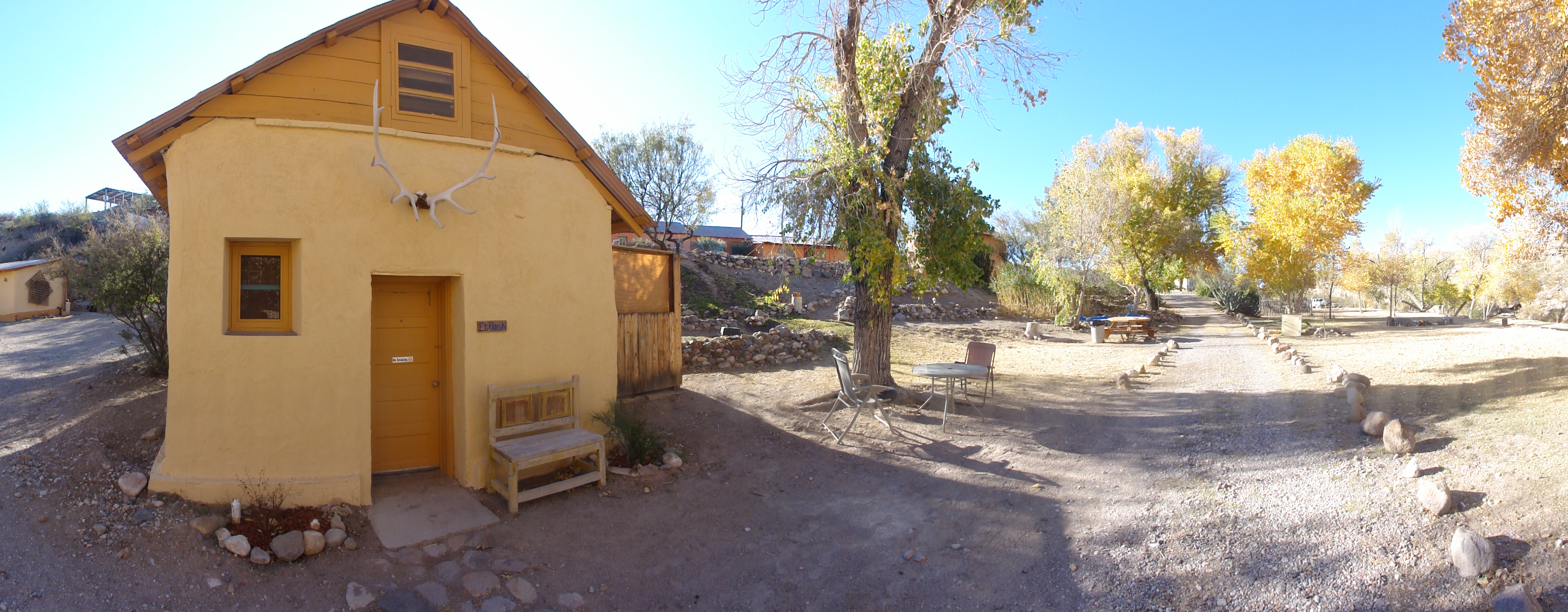
Ruidosa Hot Springs
Ruidosa Hot Springs (also known as Chinati Hot Springs and Kingston Hot Springs) flows at an exceptional 113°F, creating a volc...
Looking for a soak after your hike? Explore more hot springs near Madrid Falls, Texas on SoakingSprings.
Explore Texas springsAdditional Information
Nearby Attractions
Other attractions in Big Bend Ranch State Park include Closed Canyon, the Rio Grande, and the park's extensive hiking and biking trails.
Wildlife
The area is home to a variety of desert wildlife, including javelinas, roadrunners, and rattlesnakes. Visitors should be cautious and aware of their surroundings.
Writing about Madrid Falls? Embed this waterfall on your site for free.