


Photo Credits (5)
Difficulty
Easy
Trail Length
1.0 miles
Trail Type
Out And Back
Elevation Gain
100 ft
About Little American Falls
Little American Falls is a small, picturesque cascade on Minnesota’s St. Louis River system, prized for its tranquil setting and easy access. The falls sit in a quiet stretch of riverbank where water tumbles over rock ledges into calm pools, creating a scenic spot that’s perfect for a short nature stop or a relaxed photo session. The site is most commonly visited via a short out-and-back hike that keeps the experience mellow and family-friendly. With just about 100 feet of elevation change over roughly a mile, the approach threads through forested river corridors and offers plenty of riverside viewpoints and opportunities to spot local wildlife.
Trail & Hike Details
The Approach
The easy 1.0-mile out-and-back trail gains 100 feet of elevation on the way to the falls.
Trail Description
Out-and-back trail, 1.0 mile total with approximately 100 feet of elevation gain; rated easy. The short route follows forested riverbanks and provides multiple close viewpoints of the falls, making it accessible to most hikers and families. Surface type and official trail class/grade were not provided in the available data.
What to Expect
Dogs are welcome.
Accessibility
The trail is not wheelchair accessible. Uneven terrain and elevation changes require steady footing.
Frequently Asked Questions
🐶 Are Dogs Allowed at Little American Falls?
✅ Dogs are allowed
Are There Any Fees or Permits Required?
🤑 Fee: $7.00
🏊 Is There Swimming at Little American Falls?
❌ Swimming is not allowed
When to Visit
Spring and early summer are ideal for visiting, as the water flow is typically higher due to snowmelt and rainfall.
Seasonal Access
The best time to visit is Spring, Summer, and Fall. Winter access may be limited.
Safety Information
Exercise caution near the water's edge, as rocks may be slippery. Be aware of changing weather conditions and river currents.
Know when to go.
Get a free email alert when waterfalls near Effie hit peak flow. We only send when conditions are worth the trip — no weekly newsletters, no spam.
Weather Forecast
The Terrain, Seen by LiDAR
Aircraft-mounted lasers measured this ground to within inches. Trees and buildings are digitally stripped away, leaving the bare shape of the land the water has carved.
The ground through the falls loses about 57 feet in steep steps rather than one leap. The ground at the falls is roughly 1,243 feet above sea level.
The ground changes about 65 feet in the 500 feet above the falls and 34 feet in the 500 feet below. Facing west, the falls glow in afternoon and evening light.
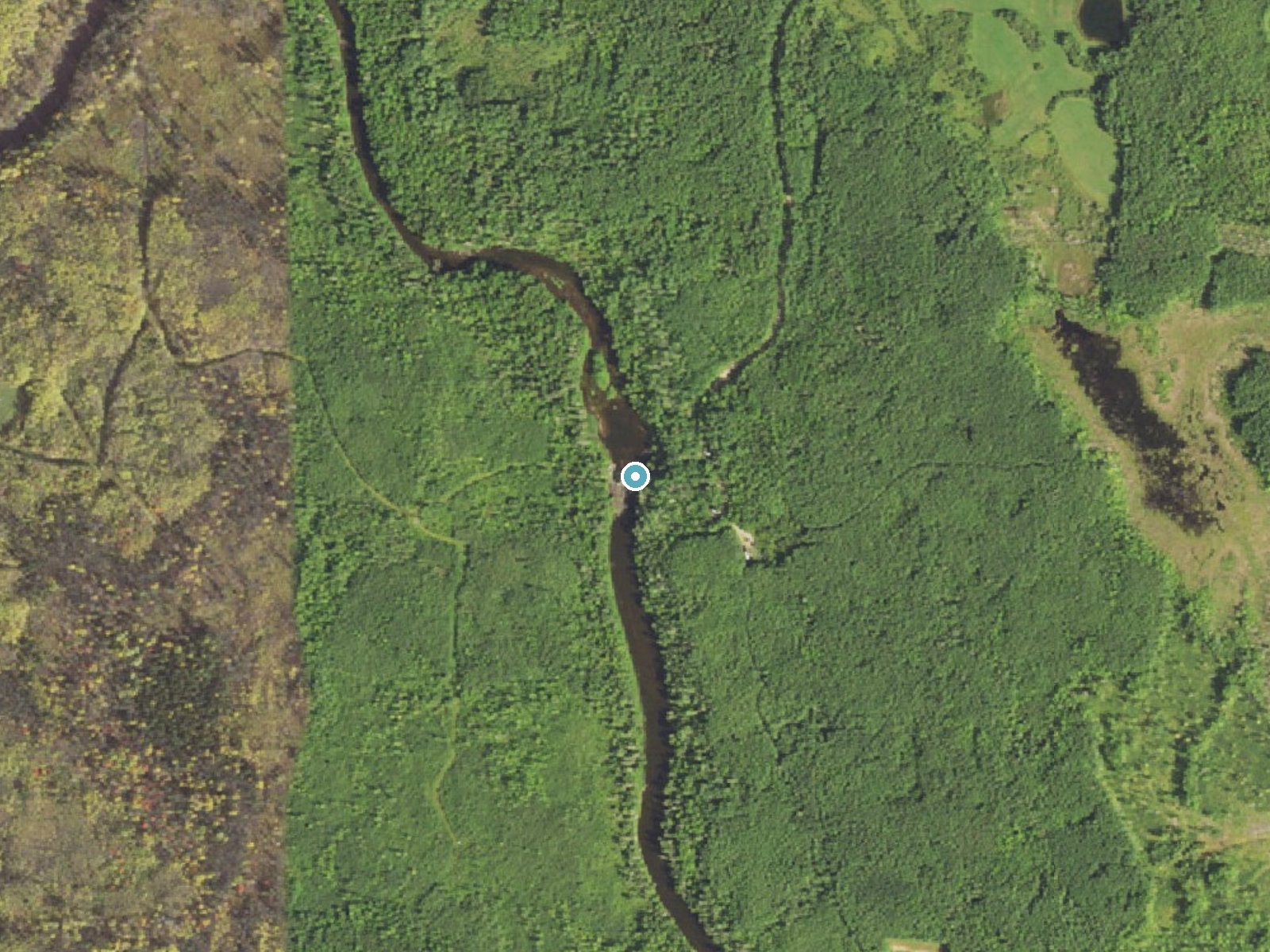
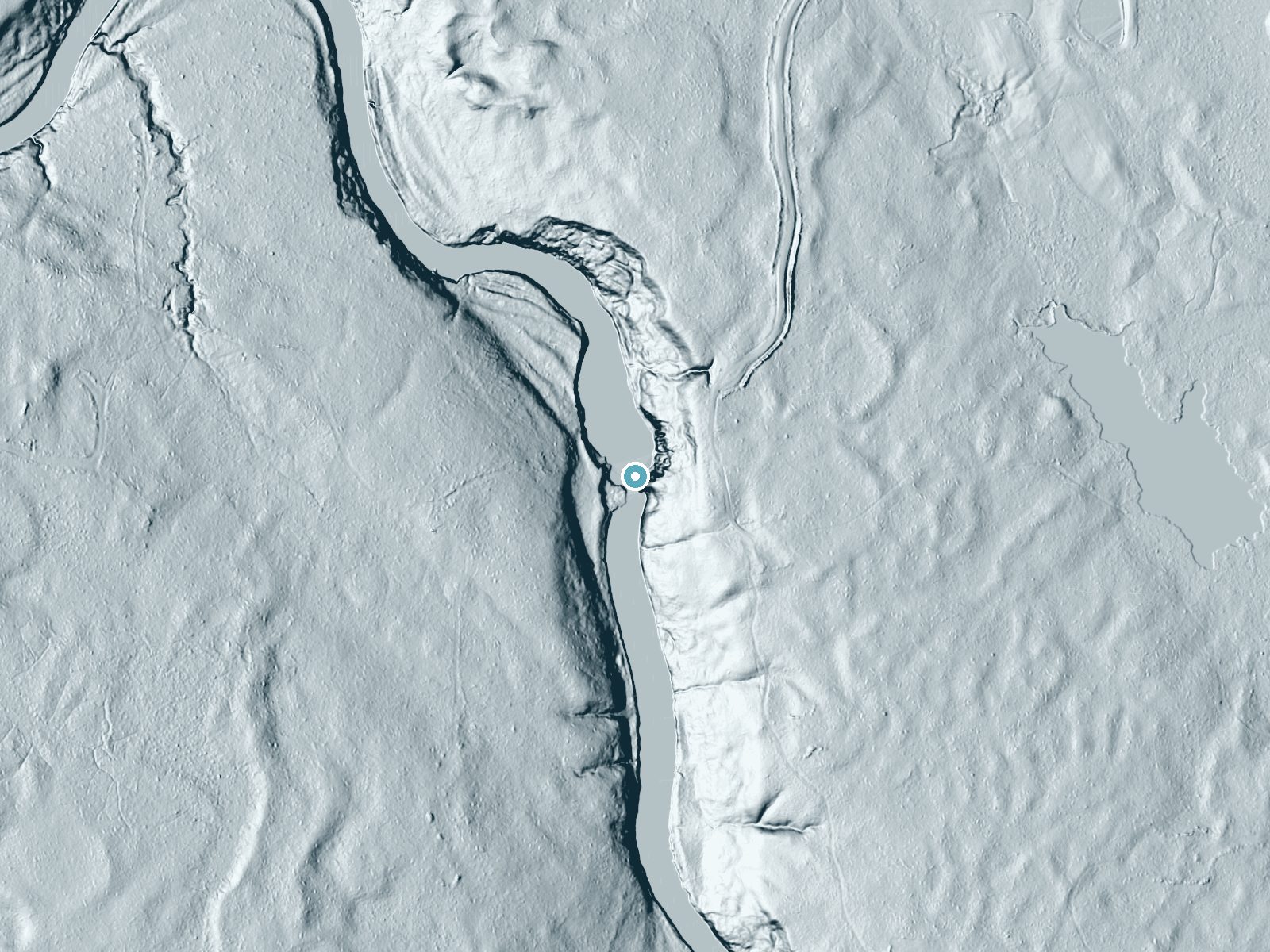
Drag to compare. The dot marks the waterfall. The frame is about a mile across.
- Ground elevation
- 1,243 feet
- Measured by 1-meter lidar
- Drop at the falls
- About 57 feet
- Change in ground height within ~250 feet of the falls
- Faces
- West
- Glows in afternoon and evening light.
A slice through the lidar ground surface, from above the falls to downstream (heading west).
Elevation data: USGS 3D Elevation Program. Aerial imagery: USGS The National Map. Public domain.
Location & Access
Getting There
Little American Falls is located near the Jay Cooke State Park area in Minnesota. Visitors can access the falls via nearby trails or by exploring the riverbanks. Specific directions may vary depending on the starting point.
Get Directions on Google MapsParking
Parking is available at Jay Cooke State Park or nearby designated areas. Visitors should check for signage and parking regulations.
Elevation
1,243 feet above sea level
Coordinates
47.920497° N, -93.621574° W
Visitor Tips & Gear
Wear sturdy shoes as the trail may have uneven sections. Bring water and a camera to capture the scenery. Check weather conditions before visiting, as trails may become slippery after rain.
As an Amazon Associate, we earn from qualifying purchases.
This easy 1.0 miles hike is straightforward — comfortable trail shoes and plenty of water should do. Sun exposure on the trail makes good sun protection a must in summer.

Polarized Sunglasses (Knockaround)
Cuts glare off the water so you actually see the falls — and your photos turn out better too.

Columbia Watertight II Rain Jacket
Packs into its own pocket, seam-sealed, and keeps you dry from spray and surprise rain.

Earth Pak Waterproof Dry Bag
Keeps your phone and gear dry when waterfall mist soaks everything else.

Waterproof Phone Pouch (AiRunTech)
Cheap insurance — take photos right next to the falls without killing your phone.

JOBY GorillaPod Starter Kit
Wraps around railings and rocks for long-exposure waterfall shots — no flat surface needed.

Osprey Daylite Daypack
Light, organized, and just the right size for a day hike — fits water, snacks, and layers.
Where to Stay

Sure Game Wilderness Resort
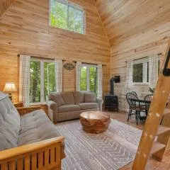
Hatch Lake Tiny House - Get Up North Retreats
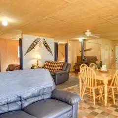
Pet-Friendly Cook Vacation Rental on Battle Lake!
Browse vacation cabins and private rentals nearby
Unique outdoor stays — tents, yurts, and treehouses
Rent a campervan or RV for your waterfall road trip
Some links are affiliate links. We may earn a commission at no extra cost to you.
Nearby Campground
CLUBHOUSE LAKE
21.6 miles away · 48 sites
Overview Clubhouse Lake Campground is located on its peaceful namesake in the beautiful Chippewa National Forest. Visitors enjoy the area for its fishing and canoeing opportunities in a scenic natural setting. Clubhouse Lake has limited cell phone service, giving it a remote feeling and offering a tranquil retreat from a connected world. The campground lies off 31 miles north of Grand Rapids, MN and just over 8 miles east of Marcell, MN off of MN State Highway 38 - the nation's first National Sce
Book on Recreation.govAdditional Information
Nearby Attractions
Jay Cooke State Park, Swinging Bridge, and other trails along the St. Louis River.
Wildlife
Visitors may spot deer, birds, and other local wildlife along the trail.
Cities near Little American Falls
Writing about Little American Falls? Embed this waterfall on your site for free.