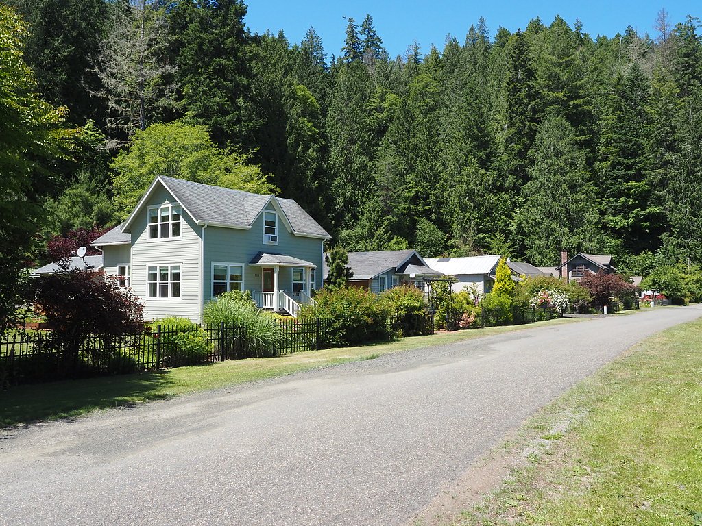
Lilliwaup Falls
By Armen Suny · Last verified Sep 2026
LiDAR & 3D terrainPhoto Credits (1)
About Lilliwaup Falls
Lilliwaup Falls is a quietly scenic cascade just outside the small town of Lilliwaup, Washington. The falls tumble in multiple tiers through the forest, offering a peaceful, photogenic setting framed by mossy trees and rocky ledges—perfect for a short outing when conditions and access allow. There is no formal developed day-use area at the falls, and access is limited, so many visitors experience the view from a distance. An informal route of about 2.4 miles round trip with roughly 350 feet of elevation gain is commonly used by hikers and is considered moderate in difficulty; because the falls sit on or adjacent to private property, respect posted boundaries and seek public viewpoints rather than attempting to cross private land.
Trail & Hike Details
Trail Description
Trail type: Informal out-and-back route (not an officially maintained trail). Length: 2.4 miles (round trip). Elevation gain: ~350 feet. Difficulty: Moderate. Surface/grade/class: There is no documented USFS trail number or official surface/grade/class for Lilliwaup Falls—this is an informal route over natural, unmaintained terrain. Access: The falls are on or next to private property and there is no established public trailhead; visitors should plan to view from public vantage points and respect private land and signage.
What to Expect
Expect to see a beautiful, multi-tiered waterfall surrounded by dense forest. However, access to the falls is restricted due to private property, so views may be limited to roadside vantage points.
Accessibility
The falls are not easily accessible due to their location on private property. There are no designated accessible paths or facilities.
Frequently Asked Questions
🐶 Are Dogs Allowed at Lilliwaup Falls?
❌ Dogs are not allowed
Are There Any Fees or Permits Required?
🆖 No fees required
🏊 Is There Swimming at Lilliwaup Falls?
❌ Swimming is not allowed
When to Visit
Spring and early summer are ideal times to visit, as the falls are typically at their fullest due to snowmelt and seasonal rains.
Seasonal Access
The best time to visit is Spring, Summer, and Fall. Winter access may be limited.
Safety Information
Exercise caution when parking along the highway. Do not attempt to trespass onto private property to access the falls. Be aware of traffic and uneven terrain near the roadside.
Current Water Conditions
173 ft³/s
Current discharge — how much water is flowing
About average for this time of year
Based on 17 years of record
7-Day Discharge Trend
What does this mean for your visit?
Flow is about average for this time of year.
About This Gauge
This gauge is on a nearby waterway and may not reflect exact conditions at the falls.
7-Day Flow Outlook
Based on the USGS gauge NF SKOKOMISH R NR LWR CUSHMAN DAM NR POTLATCH, WA (10 km away).
Today
Low
197 cfs
3/10Tomorrow
Low
185 cfs
6/10Sun
Low
173 cfs
6/10Mon
Low
187 cfs
4/10Tue
Low
194 cfs
4/10Wed
Low
195 cfs
4/10Thu
Low
206 cfs
4/10Best window: Tomorrow — low flow, mostly sunny (trip score 6/10).
Best time of year: this gauge typically runs highest from early November to early February, peaking in January.
How we calculate this
This is a transparent outlook, not a precise forecast. We take the waterfall's current flow strength (how it ranks against its historical normal for today, from the nearest USGS stream gauge), carry that ranking forward along the gauge's seasonal curve, and nudge it for forecast rain. Confidence is highest for the next day or two and falls further out. Always check official conditions and your own judgment before visiting — high flows can be dangerous.
Know when to go.
Get a free email alert when waterfalls near Hoodsport hit peak flow. We only send when conditions are worth the trip — no weekly newsletters, no spam.
Weather Forecast
The Terrain, Seen by LiDAR
Aircraft-mounted lasers measured this ground to within inches. Trees and buildings are digitally stripped away, leaving the bare shape of the land the water has carved.
The laser survey finds one clean step here: roughly 279 feet of drop concentrated at the brink. Elevation at the pin is about 72 feet.
Most of the action is upstream: the ground drops about 281 feet in the 500 feet above the pin and flattens beneath the falls. Facing east, the falls catch soft morning light.
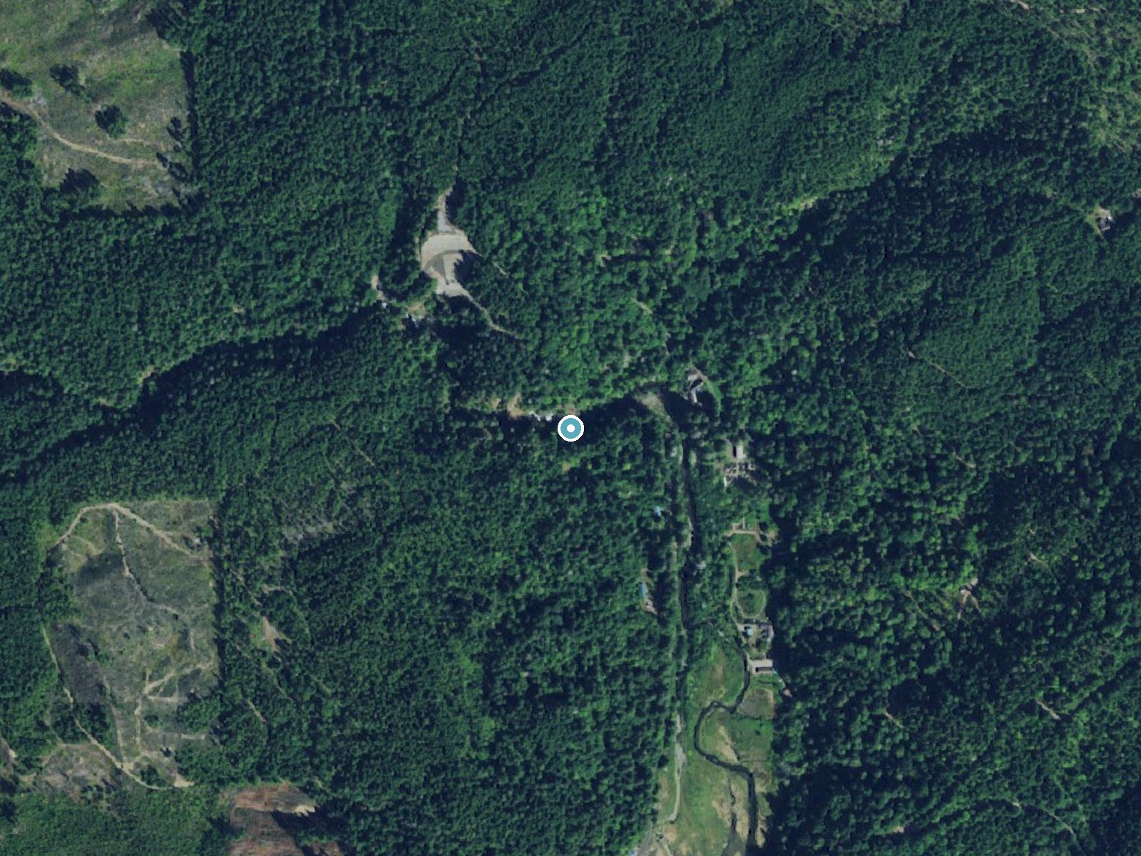
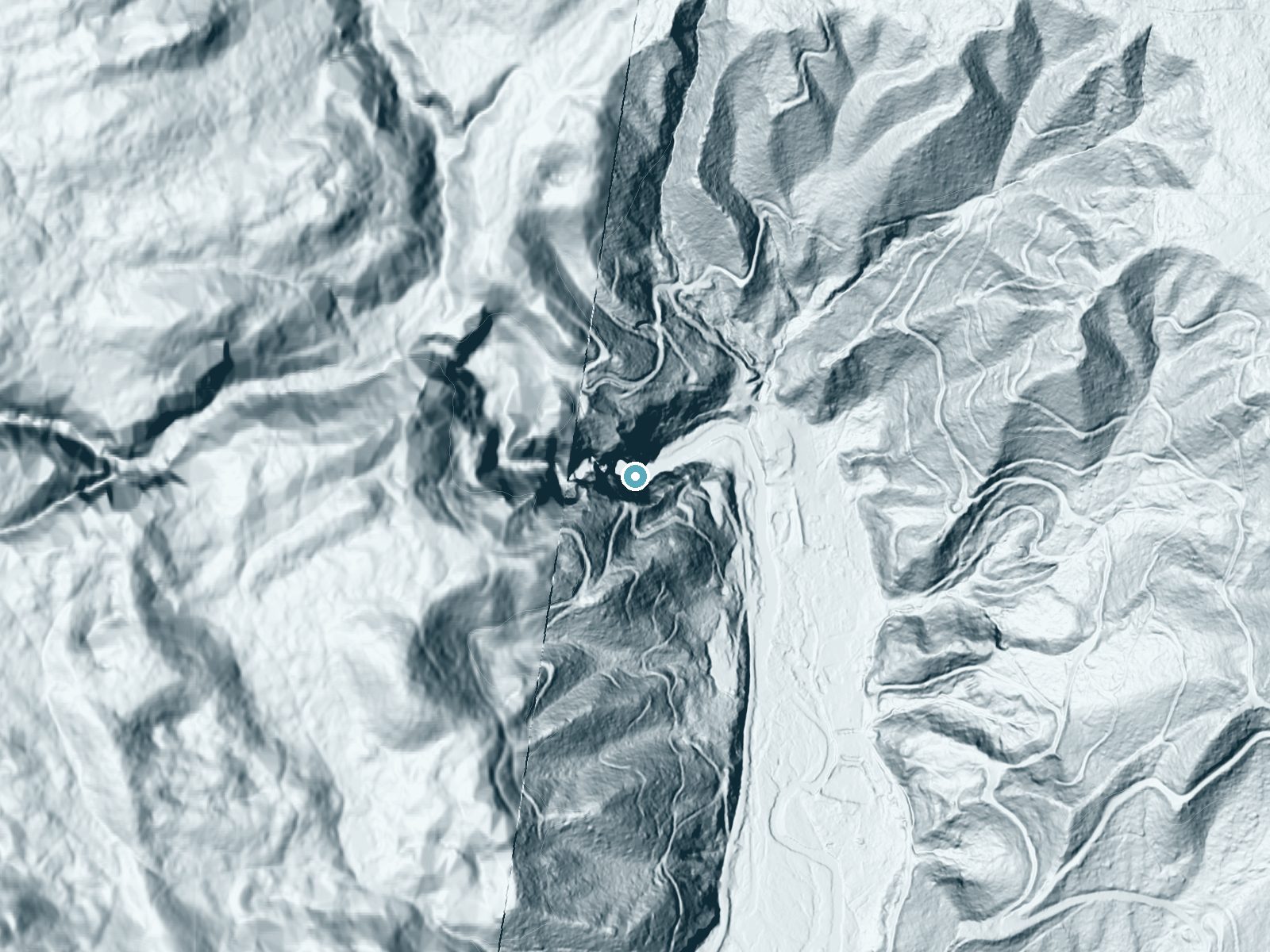
Drag to compare. The dot marks the waterfall. The frame is about a mile across.
- Ground elevation
- 72 feet
- Measured by 1-meter lidar
- Drop at the falls
- About 279 feet
- Change in ground height within ~250 feet of the falls
- Faces
- East
- Catches soft morning light.
A slice through the lidar ground surface, from above the falls to downstream (heading east).
Elevation data: USGS 3D Elevation Program. Aerial imagery: USGS The National Map. Public domain.
Location & Access
Getting There
Lilliwaup Falls is located off Highway 101 near Lilliwaup, Washington. The falls are situated on private property, but they may be visible from the road or nearby areas. Visitors should respect private property boundaries and avoid trespassing.
Get Directions on Google MapsParking
Parking options are limited and may involve roadside parking along Highway 101. Visitors should exercise caution when parking and ensure they are not blocking traffic or private driveways.
Elevation
43 feet above sea level
Coordinates
47.470179° N, -123.117614° W
Visitor Tips & Gear
Respect private property boundaries and avoid trespassing. Bring binoculars or a camera with a zoom lens to better view the falls from a distance. Be cautious when parking along the highway.
Where to Stay
The Waterfront at Potlatch
Robinhood Village Resort
Adorable A-Frame Cabin, Steps to Lake Cushman!
Woodstone Cabin
Browse vacation cabins and private rentals nearby
Unique outdoor stays — tents, yurts, and treehouses
Rent a campervan or RV for your waterfall road trip
Some links are affiliate links. We may earn a commission at no extra cost to you.
Nearby Campground
HAMMA HAMMA CABIN
8.5 miles away · 1 sites
Overview The Hamma Hamma Cabin is a historic cabin that offers guests a tranquil setting to relax and recreate. Formerly a guard station, the cabin was built from 1936-1937 by the Civilian Conservation Corps. The facility was used as an administrative site for Forest Service fire and trail crews. The site is nominated to the National Register of Historic Places for the skill and craftsmanship that went into its construction and architecture. The cabin is open year-round and is typically accessibl
Book on Recreation.govNearby Hot Springs
Hot springs near Bremerton, Washington

Olympic Hot Springs
Olympic Hot Springs flows at 118 degrees within Olympic National Park at 2,000 feet elevation, emerging 72 degrees above ambien...

Sol Duc Hot Springs
Sol Duc Hot Springs flows at 122 degrees Fahrenheit in Olympic National Park with permanently protected Class 1 status under Na...
Looking for a soak after your hike? Explore more hot springs near Bremerton, Washington on SoakingSprings.
Explore Washington springsAdditional Information
Nearby Attractions
Nearby attractions include Hood Canal, Olympic National Park, and other small waterfalls and hiking trails in the area.
Wildlife
The surrounding area is home to a variety of wildlife, including birds, deer, and small mammals. Visitors should be cautious of ticks and other insects.
Cities near Lilliwaup Falls
Writing about Lilliwaup Falls? Embed this waterfall on your site for free.