Klamath Falls
By Armen Suny · Last verified Mar 2026
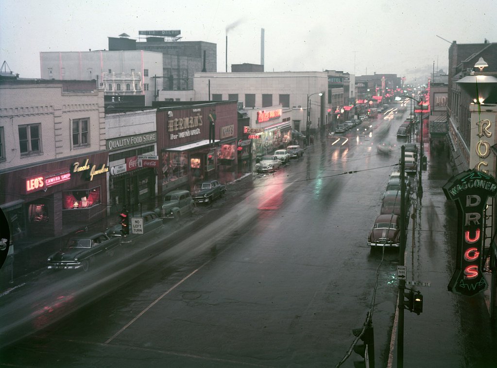
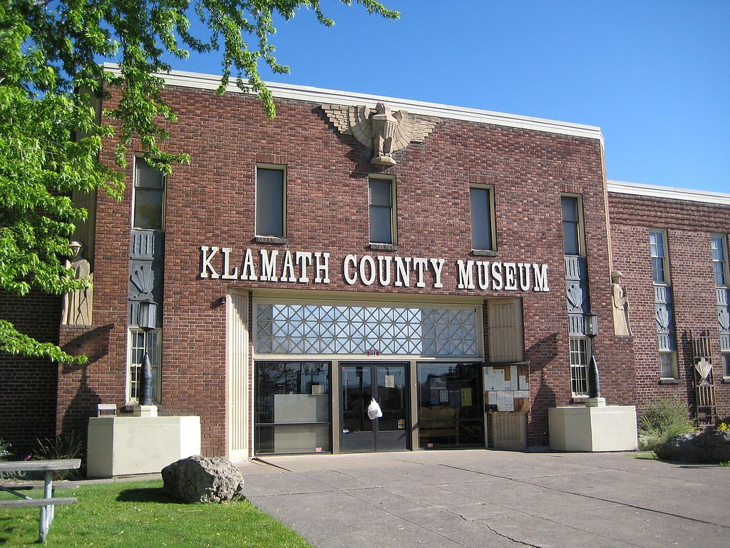

Photo Credits (5)
Difficulty
Moderate
Trail Length
2.4 miles
Trail Type
Out And Back
Elevation Gain
350 ft
About Klamath Falls
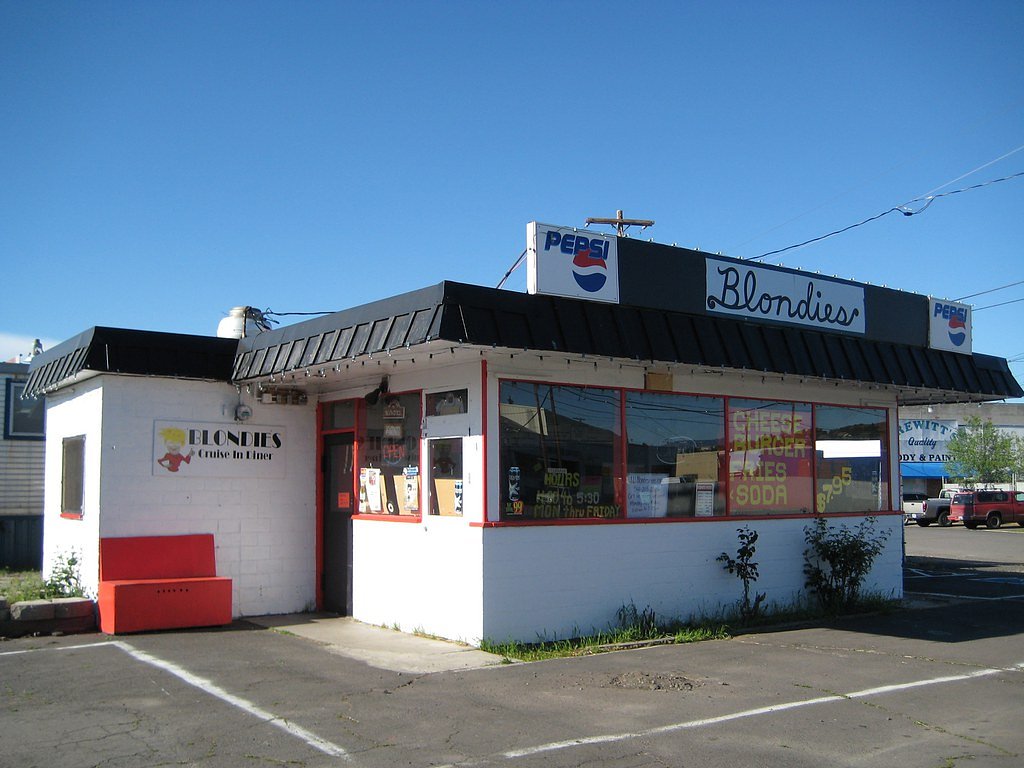
Klamath Falls is not a single, plunging waterfall but a lively stretch of rapids on the Link River that runs through Klamath Falls, Oregon. The river corridor offers attractive riverfront scenery and a sense of the area's historical waterways rather than a dramatic vertical fall, making it a pleasant spot for short walks, photography, and watching river activity close to town. The Link River Trail follows these rapids and provides an accessible riverside outing—about 2.4 miles roundtrip as an out-and-back route with roughly 350 feet of cumulative elevation gain and a moderate difficulty rating. Nearby camping is convenient: the Klamath Ranger District campground sits approximately 2.44 km away, so you can easily combine an overnight stay with an early-morning stroll along the river.
The Setting
Klamath Falls sits at 4,114 feet along the Link River, in the mountains of Oregon.
Trail & Hike Details
The Approach
The moderate 2.4-mile out-and-back trail gains 350 feet of elevation on the way to the falls.
Trail Description
Link River Trail (out-and-back) — Distance: 2.4 miles, Elevation gain: ~350 ft, Difficulty: Moderate. The route runs along the Link River and is mostly level riverfront walking with a few short moderate pitches that account for the elevation gain. This urban-river trail is popular for walking and birdwatching; trail type is out-and-back and suitable for hikers seeking an easy to moderate outing close to town and nearby camping (Klamath Ranger District ~2.44 km).
What to Expect
Dogs are welcome.
Accessibility
The trail is not wheelchair accessible. Uneven terrain and elevation changes require steady footing.
Frequently Asked Questions
🐶 Are Dogs Allowed at Klamath Falls?
✅ Dogs are allowed
Are There Any Fees or Permits Required?
🆖 No fees required
🏊 Is There Swimming at Klamath Falls?
❌ Swimming is not allowed
When to Visit
Spring and summer are ideal for visiting due to pleasant weather and active wildlife, but the trail is accessible year-round.
Seasonal Access
The best time to visit is Spring, Summer, Fall, and Winter.
Safety Information
Stay on designated trails and avoid getting too close to the river due to strong currents. Be cautious of uneven terrain and wildlife.
Current Water Conditions
1,330 ft³/s
Current discharge — how much water is flowing
Higher than usual for this time of year
Based on 64 years of record
2.04 ft
Water depth at gauge
72°F
ComfortablePleasant for swimming
7-Day Discharge Trend
What does this mean for your visit?
The water is flowing higher than usual for this time of year. The water is a comfortable 72 degrees F, pleasant for swimming.
About This Gauge
7-Day Flow Outlook
Based on the USGS gauge LINK RIVER AT KLAMATH FALLS, OR (1 km away).
Today
Moderate
1436 cfs
5/10Tomorrow
Low
1437 cfs
6/10Sun
Low
1274 cfs
6/10Mon
Low
1201 cfs
6/10Tue
Low
1295 cfs
6/10Wed
Low
1290 cfs
6/10Thu
Low
1248 cfs
6/10Best window: Tomorrow — low flow, mostly sunny (trip score 6/10).
Best time of year: this gauge typically runs highest from mid March to late May, peaking in April.
How we calculate this
This is a transparent outlook, not a precise forecast. We take the waterfall's current flow strength (how it ranks against its historical normal for today, from the nearest USGS stream gauge), carry that ranking forward along the gauge's seasonal curve, and nudge it for forecast rain. Confidence is highest for the next day or two and falls further out. Always check official conditions and your own judgment before visiting — high flows can be dangerous.
Know when to go.
Get a free email alert when waterfalls near Klamath Falls hit peak flow. We only send when conditions are worth the trip — no weekly newsletters, no spam.
Weather Forecast
Location & Access
Getting There
Klamath Falls is located in southern Oregon, easily accessible via Highway 97. The Link River area, where the rapids are located, is near downtown Klamath Falls.
Get Directions on Google MapsParking
Parking is available near the Link River Trail and other nearby recreational areas.
Elevation
4,114 feet above sea level
Coordinates
42.230422° N, -121.799449° W
Visitor Tips & Gear
Wear comfortable walking shoes and bring binoculars for birdwatching. Visit in the morning or evening for cooler temperatures and better chances of spotting wildlife.
As an Amazon Associate, we earn from qualifying purchases.
With 2.4 miles and 350 ft of elevation gain, sturdy boots and trekking poles will help on this moderate trail. Icy conditions are common in winter — traction cleats are a smart addition.

Columbia Watertight II Rain Jacket
Packs into its own pocket, seam-sealed, and keeps you dry from spray and surprise rain.

Polarized Sunglasses (Knockaround)
Cuts glare off the water so you actually see the falls — and your photos turn out better too.

Earth Pak Waterproof Dry Bag
Keeps your phone and gear dry when waterfall mist soaks everything else.

Waterproof Phone Pouch (AiRunTech)
Cheap insurance — take photos right next to the falls without killing your phone.

Timberland Euro Sprint Mid Waterproof
Trusted waterproof boot with premium leather and grippy rubber sole — reliable on rocky, wet trails.

TrailBuddy Trekking Poles
Lightweight aluminum, cork grips, and flip-locks that actually hold — a best-seller for good reason.
Where to Stay

Fairfield Inn & Suites by Marriott Klamath Falls

Comfort Inn & Suites Klamath Falls

Holiday Inn Express & Suites Klamath Falls Central by IHG

The Maverick Motel, Main Street USA Collection by PNW Hospitality
Browse vacation cabins and private rentals nearby
Unique outdoor stays — tents, yurts, and treehouses
Rent a campervan or RV for your waterfall road trip
Some links are affiliate links. We may earn a commission at no extra cost to you.
Nearby Campground
Klamath Ranger District
1.5 miles away · 0 sites
2819 Dahlia Street, Suite AKlamath Falls, OR 97601 USA(541) 885-3400 Office(541) 883-6709 Fax(541) 883-6702 TTYMonday - Friday, 7:45 am - 4:30 pmClosed on National Holidays
Book on Recreation.govNearby Hot Springs
Hot springs near Klamath Falls, Oregon
Hardboard Spring
Hardboard Spring flows at 70°F from roadside terrain 36 meters from the nearest road in Klamath County near Klamath Falls, emer...
Howard Holiday
Howard Holiday flows at 77°F in Klamath County near Klamath Falls, emerging at 4,107 feet elevation approximately 157 meters fr...
Olene Gap Hot Springs
Olene Gap Hot Springs emerges at 165°F in Klamath County's volcanic landscape, flowing at 4,116 feet elevation and running 116 ...
Crystal Spring
Crystal Spring emerges at 78 degrees Fahrenheit near Altamont, flowing 28.4 degrees above ambient temperature at 4,119 feet ele...
Eagle Point Spring
Eagle Point Spring flows at 95°F in Klamath County, emerging 45.6°F above the 49.4°F ambient temperature in a climate receiving...
Oregon Hot Springs (Big Hot Spring)
Oregon Hot Springs, also known as Big Hot Spring, emerges at 142°F along the Oregon-California border in Siskiyou County, flowi...
Looking for a soak after your hike? Explore more hot springs near Klamath Falls, Oregon on SoakingSprings.
Explore Oregon springsAdditional Information
Nearby Attractions
Crater Lake National Park, Lava Beds National Monument, and the Klamath Basin Wildlife Refuge are all within driving distance.
Wildlife
The area is home to a variety of birds, including bald eagles, herons, and waterfowl, as well as fish and other small wildlife.
Cities near Klamath Falls
Writing about Klamath Falls? Embed this waterfall on your site for free.