Photo Credits (5)
Difficulty
Moderate
Trail Length
1.8 miles
Trail Type
Loop
Elevation Gain
400 ft
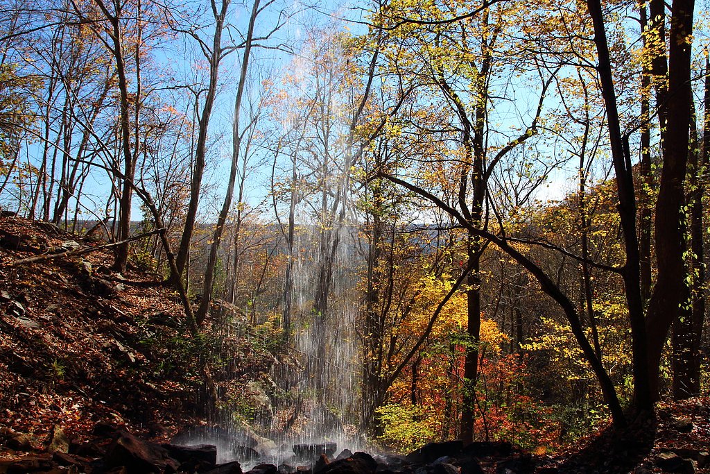
About Keown Falls
Keown Falls is a seasonal waterfall located in the Johns Mountain Wildlife Management Area in Georgia. It is known for its scenic beauty, especially during the spring when water flow is typically higher. The falls are part of a loop trail that offers views of the surrounding forest and valley.
The Setting
Keown Falls sits at 1,467 feet within Chattahoochee National Forest, fed by the Oostanaula River, in the foothills of Georgia.
Trail & Hike Details
The Approach
The moderate hike follows Keown Falls (#20), a 1.8-mile loop trail over natural surface. Expect 400 feet of elevation gain with grades of 10-12%. The trail is developed (Class 3).
USFS Trail
KEOWN FALLS #20
Trail Class
Developed
Surface
Avg Grade
USFS Segment
1.50 miTrail Description
The Keown Falls Trail is a 1.8-mile loop that includes a moderate climb to the falls. The trail passes through a forested area and features a viewing platform near the falls. During wetter months, the waterfall flows more prominently, while it may be reduced to a trickle during dry periods.
What to Expect
Dogs are welcome.
Accessibility
The trail is not wheelchair accessible. Uneven terrain and elevation changes require steady footing.
Frequently Asked Questions
🐶 Are Dogs Allowed at Keown Falls?
✅ Dogs are allowed
Are There Any Fees or Permits Required?
🤑 Fee: $5.00
🏊 Is There Swimming at Keown Falls?
❌ Swimming is not allowed
When to Visit
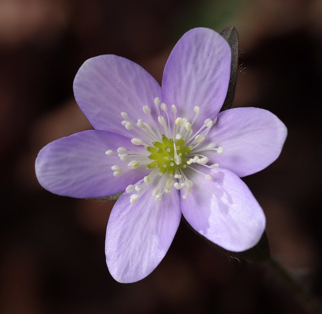
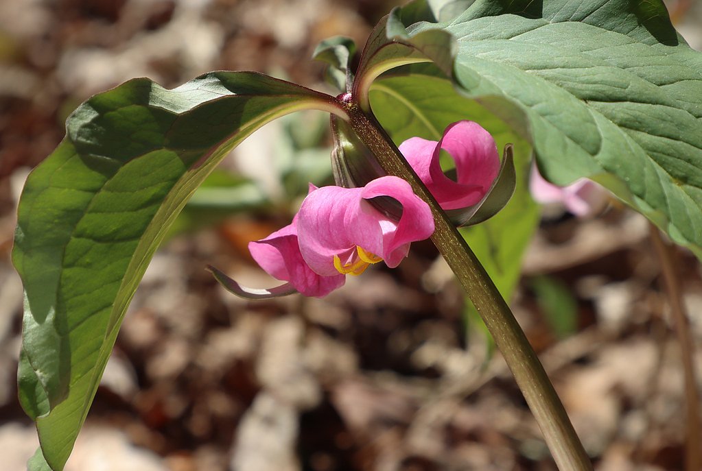
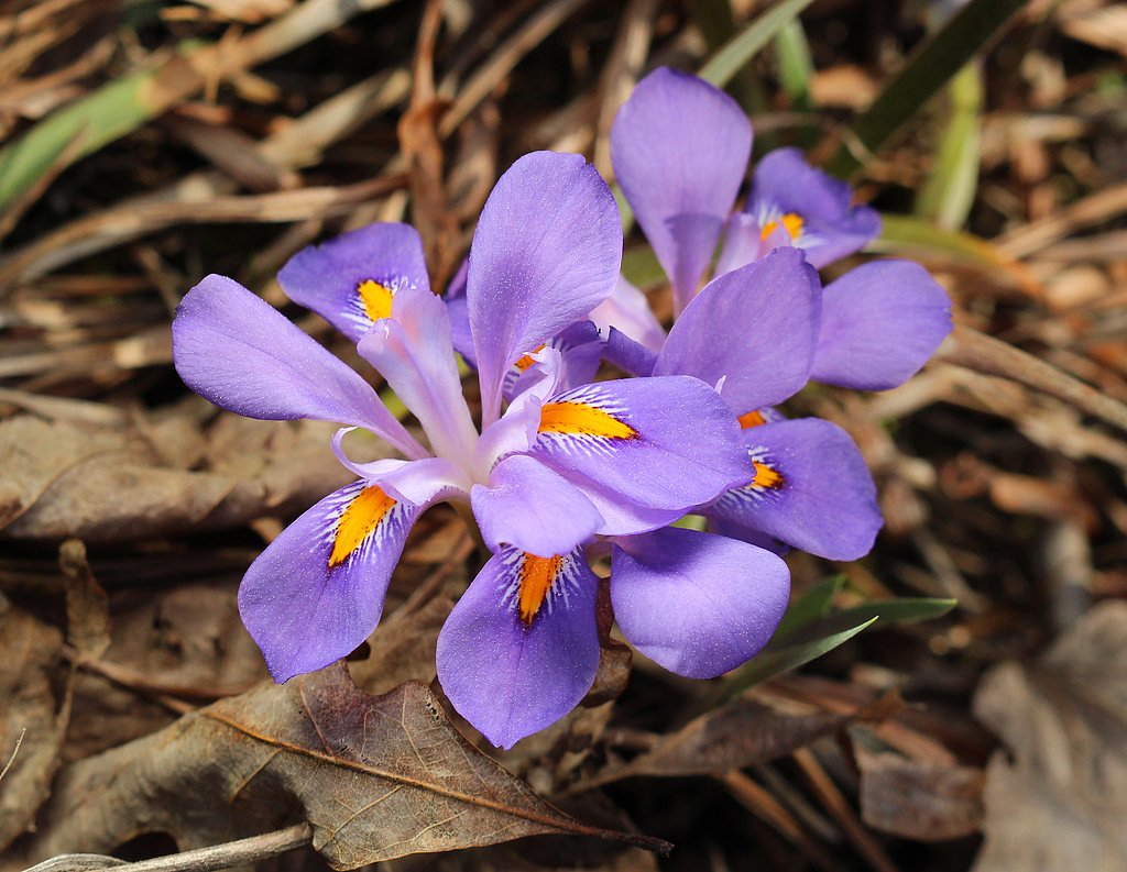
Spring is the best time to visit Keown Falls, as the water flow is typically strongest during this season. Fall is also a great time to visit for cooler weather and colorful foliage.
Seasonal Access
The best time to visit is Spring and Fall. Winter access may be limited. Check with Chattahoochee National Forest for seasonal road closures.
Safety Information
The trail may be slippery after rain, so use caution. Watch for wildlife and stay on marked trails to avoid getting lost. Bring plenty of water, especially during warmer months.
Current Water Conditions
712 ft³/s
Current discharge — how much water is flowing
Lower than usual for this time of year
Based on 51 years of record
2.40 ft
Water depth at gauge
7-Day Discharge Trend
What does this mean for your visit?
Flow is lower than usual for this time of year.
About This Gauge
This gauge is on a nearby waterway and may not reflect exact conditions at the falls.
7-Day Flow Outlook
Based on the USGS gauge OOSTANAULA RIVER AT RESACA, GA (15 km away).
Today
Roaring
812 cfs
6/10Tomorrow
Roaring
835 cfs
6/10Tue
Roaring
750 cfs
6/10Wed
Strong
675 cfs
10/10Thu
Roaring
725 cfs
6/10Fri
Roaring
717 cfs
6/10Sat
Roaring
697 cfs
6/10Best window: Wed — strong flow, sunny (trip score 10/10).
Best time of year: this gauge typically runs highest from mid February to mid April, peaking in March.
How we calculate this
This is a transparent outlook, not a precise forecast. We take the waterfall's current flow strength (how it ranks against its historical normal for today, from the nearest USGS stream gauge), carry that ranking forward along the gauge's seasonal curve, and nudge it for forecast rain. Confidence is highest for the next day or two and falls further out. Always check official conditions and your own judgment before visiting — high flows can be dangerous.
Know when to go.
Get a free email alert when waterfalls near Resaca hit peak flow. We only send when conditions are worth the trip — no weekly newsletters, no spam.
Weather Forecast
Location & Access
Getting There
Keown Falls is located in the Johns Mountain Wildlife Management Area near Villanow, Georgia. The trailhead can be accessed via Pocket Road, which is off Highway 136.
Get Directions on Google MapsParking
There is a small parking area at the trailhead for Keown Falls. Parking may be limited during peak seasons.
Elevation
1,467 feet above sea level
Coordinates
34.613417° N, -85.094393° W
Land Management
Managed by USFS
Visitor Tips & Gear
Visit during the spring or after a period of rain for the best chance to see the waterfall flowing. Wear sturdy hiking shoes, as the trail can be uneven in places. Arrive early to secure parking, especially on weekends.
As an Amazon Associate, we earn from qualifying purchases.
With 1.8 miles and 400 ft of elevation gain, sturdy boots and trekking poles will help on this moderate trail.

Columbia Watertight II Rain Jacket
Packs into its own pocket, seam-sealed, and keeps you dry from spray and surprise rain.

Earth Pak Waterproof Dry Bag
Keeps your phone and gear dry when waterfall mist soaks everything else.

Waterproof Phone Pouch (AiRunTech)
Cheap insurance — take photos right next to the falls without killing your phone.

Timberland Euro Sprint Mid Waterproof
Trusted waterproof boot with premium leather and grippy rubber sole — reliable on rocky, wet trails.

TrailBuddy Trekking Poles
Lightweight aluminum, cork grips, and flip-locks that actually hold — a best-seller for good reason.

JOBY GorillaPod Starter Kit
Wraps around railings and rocks for long-exposure waterfall shots — no flat surface needed.
Where to Stay

Home2 Suites By Hilton Calhoun

Comfort Inn & Suites Calhoun South

Dogwood Cottage with Private Fire Pit & Sleeps 6

Days Inn by Wyndham Dalton
Browse vacation cabins and private rentals nearby
Unique outdoor stays — tents, yurts, and treehouses
Rent a campervan or RV for your waterfall road trip
Some links are affiliate links. We may earn a commission at no extra cost to you.
Nearby Campground
Pocket Campground
2.1 miles away · 26 sites
Overview The Pocket Recreation Area is located within the Chattahoochee-Oconee National Forest in the ridges and valleys of northwest Georgia. The campground sits in a low lying geographical area between Horn and Mill mountains. This low lying area was formed by limestone dissolving, leaving the ridges above and valleys below. These ridges are rich in iron ore "pockets" giving this area its name. Deer and turkeys thrive in the surrounding forest. Spring wildflowers and autumn colors abound, showc
Book on Recreation.govAdditional Information
Nearby Attractions
Nearby attractions include the Johns Mountain Overlook and the Pinhoti Trail, which offers additional hiking opportunities.
Wildlife
The area is home to various wildlife, including deer, birds, and small mammals. Visitors may also encounter insects such as ticks and mosquitoes.
Cities near Keown Falls
Writing about Keown Falls? Embed this waterfall on your site for free.