Keanapakulua Falls
By Armen Suny · Last verified May 2026
Photo Credits (1)
Difficulty
Moderate
Trail Length
2.4 miles
Trail Type
Out And Back
Elevation Gain
350 ft
About Keanapakulua Falls
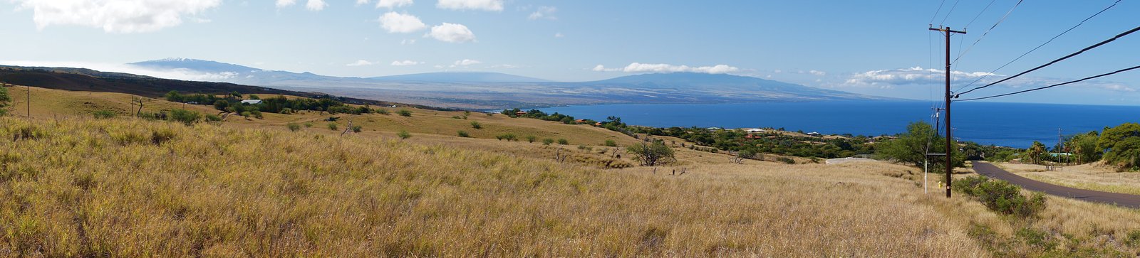
Keanapakulua Falls is a lesser-known waterfall located along the Hana Highway on the island of Maui, Hawaii. It is a picturesque cascade surrounded by lush tropical vegetation, offering a serene and tranquil setting. The falls are often admired from the roadside, making them a convenient stop for travelers exploring the scenic highway.
The Setting
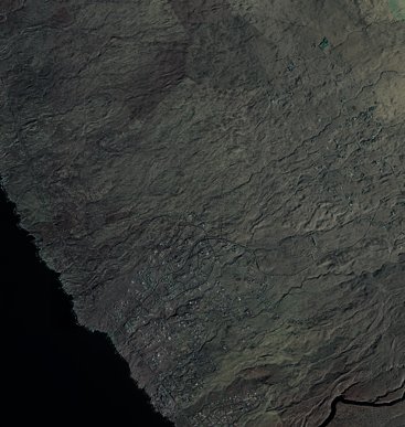
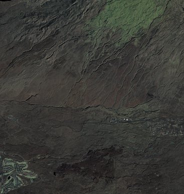
Keanapakulua Falls sits at 902 feet along the Kawainui Stream, in the foothills of Hawaii.
Trail & Hike Details
The Approach
The moderate 2.4-mile out-and-back trail gains 350 feet of elevation on the way to the falls.
Trail Description
No hiking is required to view Keanapakulua Falls, as it is visible from the roadside. Visitors can stop briefly to admire the falls and take photos.
What to Expect
Visitors can expect a small but beautiful waterfall surrounded by lush greenery. The falls may have varying water flow depending on recent rainfall, with heavier flows during the rainy season.
Accessibility
The trail is not wheelchair accessible. Uneven terrain and elevation changes require steady footing.
Frequently Asked Questions
🐶 Are Dogs Allowed at Keanapakulua Falls?
❌ Dogs are not allowed
Are There Any Fees or Permits Required?
🆖 No fees required
🏊 Is There Swimming at Keanapakulua Falls?
❌ Swimming is not allowed
When to Visit
The falls can be visited year-round, but water flow is typically stronger after rainfall. Morning visits are recommended for better lighting and fewer crowds.
Seasonal Access
The best time to visit is Spring, Summer, Fall, and Winter. Heavy rains during wet season (November through March) bring higher flow but can make trails slippery.
Safety Information
Exercise caution when parking and walking along the Hana Highway, as the road is narrow and has sharp curves. Avoid stopping in unsafe areas or blocking traffic.
Current Water Conditions
10 ft³/s
Current discharge — how much water is flowing
About average for this time of year
Based on 61 years of record
1.63 ft
Water depth at gauge
7-Day Discharge Trend
What does this mean for your visit?
Flow is about average for this time of year.
About This Gauge
This gauge is on a nearby waterway and may not reflect exact conditions at the falls.
7-Day Flow Outlook
Based on the USGS gauge Kawainui Stream nr Kamuela, HI (17 km away).
Today
Moderate
10 cfs
8/10Tomorrow
Moderate
9 cfs
8/10Wed
Moderate
9 cfs
8/10Thu
Moderate
10 cfs
8/10Fri
Moderate
11 cfs
8/10Sat
Moderate
11 cfs
8/10Sun
Moderate
12 cfs
8/10Best window: Today — moderate flow, sunny (trip score 8/10).
Best time of year: this gauge typically runs highest from mid June to late July, peaking in July.
How we calculate this
This is a transparent outlook, not a precise forecast. We take the waterfall's current flow strength (how it ranks against its historical normal for today, from the nearest USGS stream gauge), carry that ranking forward along the gauge's seasonal curve, and nudge it for forecast rain. Confidence is highest for the next day or two and falls further out. Always check official conditions and your own judgment before visiting — high flows can be dangerous.
Know when to go.
Get a free email alert when waterfalls near Hawi hit peak flow. We only send when conditions are worth the trip — no weekly newsletters, no spam.
Weather Forecast
Location & Access
Getting There
Keanapakulua Falls is located along the Hana Highway (Highway 360) on Maui. The falls are visible from the road, making them easily accessible for travelers. Look for a small pullout area near mile marker 16.
Get Directions on Google MapsParking
Parking is limited and consists of small roadside pullouts. Visitors should exercise caution when parking and exiting their vehicles due to the narrow and winding nature of the Hana Highway.
Elevation
902 feet above sea level
Coordinates
20.094792° N, -155.843630° W
Visitor Tips & Gear
Arrive early to avoid crowds and secure a safe parking spot. Be cautious of traffic when stopping along the Hana Highway. Bring a camera to capture the scenic beauty.
As an Amazon Associate, we earn from qualifying purchases.
With 2.4 miles and 350 ft of elevation gain, sturdy boots and trekking poles will help on this moderate trail. Icy conditions are common in winter — traction cleats are a smart addition.

Columbia Watertight II Rain Jacket
Packs into its own pocket, seam-sealed, and keeps you dry from spray and surprise rain.

Polarized Sunglasses (Knockaround)
Cuts glare off the water so you actually see the falls — and your photos turn out better too.

Earth Pak Waterproof Dry Bag
Keeps your phone and gear dry when waterfall mist soaks everything else.

Waterproof Phone Pouch (AiRunTech)
Cheap insurance — take photos right next to the falls without killing your phone.

Timberland Euro Sprint Mid Waterproof
Trusted waterproof boot with premium leather and grippy rubber sole — reliable on rocky, wet trails.

TrailBuddy Trekking Poles
Lightweight aluminum, cork grips, and flip-locks that actually hold — a best-seller for good reason.
Where to Stay

Mauna Lani Golf Villas Beach Access & Quiet Comfort

The Westin Hapuna Beach Resort

Palm Villas 2 Bed/2 Bath Loft #F22

Fairway Villas Waikoloa by OUTRIGGER
Browse vacation cabins and private rentals nearby
Unique outdoor stays — tents, yurts, and treehouses
Rent a campervan or RV for your waterfall road trip
Some links are affiliate links. We may earn a commission at no extra cost to you.
Nearby Hot Springs
Hot springs near Hawi, Hawaii

Steam Vents
Steam vents at 13,426 feet on Mauna Loa represent some of Hawaii's most remote geothermal features, requiring a substantial hik...
Steam Vents
These steam vents occupy the high alpine zone at 12,526 feet on Mauna Loa, where volcanic heat creates dramatic fumarolic activ...

Steam Vents
Steam vents emerge where volcanic heat meets restricted military lands on Hawaii's Big Island. These fumaroles sit at 4,003 fee...

Steam Vents
Steam vents at 3,559 feet emerge on Kilauea's slopes where volcanic heat intersects abundant rainfall to create dramatic fumaro...

Steam Vents
Steam vents at 3,620 feet emerge within Hawai'i Volcanoes National Park where volcanic heat creates dramatic fumarolic activity...

Steam Vents
These high-elevation steam vents rise to 13,426 feet on Mauna Loa's slopes, making them among Hawaii's highest geothermal featu...
Looking for a soak after your hike? Explore more hot springs near Hawi, Hawaii on SoakingSprings.
Explore Hawaii springsAdditional Information
Nearby Attractions
Other waterfalls along the Hana Highway, such as Twin Falls and Wailua Falls, as well as the town of Hana and the Pipiwai Trail in Haleakalā National Park.
Wildlife
Visitors may spot native birds and insects in the surrounding vegetation.
Cities near Keanapakulua Falls
Nearby Waterfalls
Writing about Keanapakulua Falls? Embed this waterfall on your site for free.