Kauwehu Falls
By Armen Suny · Last verified Sep 2026
Photo Credits (1)
About Kauwehu Falls
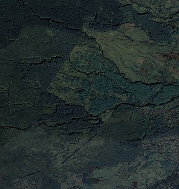
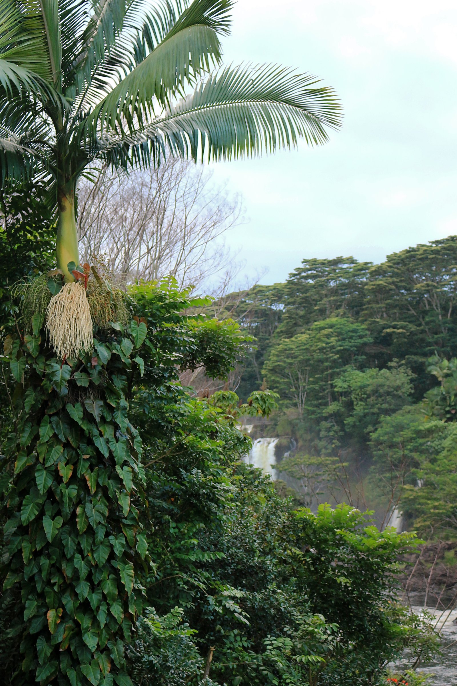
Tucked into the Hilo Watershed Forest Reserve, Kauwehu Falls is a quietly beautiful, lesser-known cascade framed by lush tropical vegetation. The falls lie within a Special Conservation Area (SCA) managed by SDNR, so visitors will find a more natural, conservation-focused setting rather than developed visitor facilities. This makes Kauwehu an appealing option for hikers seeking solitude and a peaceful Hawaiian rainforest experience. The approach rewards those willing to explore a remote corner of the island with serene scenery and the hush of the forest. Because the site is managed as part of the reserve by SDNR, visitors should be respectful of the protected landscape and follow any posted guidance to help preserve the area for others.
The Setting
Kauwehu Falls sits at 1,243 feet within Hilo Watershed Forest Reserve, fed by the Wailuku River, in the foothills of Hawaii.
Trail & Hike Details
Trail Description
The route to Kauwehu Falls is a moderate 2.4-mile out-and-back trail with approximately 350 feet of elevation gain. Difficulty is rated moderate; specific details such as official surface type, grade, and technical trail class are not specified in available records. The hike is short but remote, so come prepared with sturdy footwear, water, and a leave-no-trace mindset while visiting the Hilo Watershed Forest Reserve (SCA) managed by SDNR.
What to Expect
Visitors can expect a secluded and tranquil waterfall surrounded by Hawaii's natural beauty. However, due to the lack of detailed information, conditions and accessibility may vary.
Accessibility
Accessibility information is not available. The falls may not be suitable for individuals with mobility challenges.
Frequently Asked Questions
🐶 Are Dogs Allowed at Kauwehu Falls?
❌ Dogs are not allowed
Are There Any Fees or Permits Required?
🆖 No fees required
🏊 Is There Swimming at Kauwehu Falls?
❌ Swimming is not allowed
When to Visit
The falls may be accessible year-round, but conditions could vary depending on rainfall and weather. Visiting during the dry season may make access easier.
Seasonal Access
The best time to visit is Spring, Summer, Fall, and Winter. Heavy rains during wet season (November through March) bring higher flow but can make trails slippery.
Safety Information
Visitors should be cautious of slippery rocks, flash flooding during heavy rains, and unmarked trails. Always inform someone of your plans before visiting remote areas.
Current Water Conditions
1,560 ft³/s
Current discharge — how much water is flowing
Much higher than usual for this time of year
Based on 96 years of record
7-Day Discharge Trend
What does this mean for your visit?
The water is flowing much higher than usual, expect an impressive display.
About This Gauge
7-Day Flow Outlook
Based on the USGS gauge Wailuku River at Piihonua, HI (1 km away).
Today
Roaring
3823 cfs
6/10Tomorrow
Roaring
4443 cfs
6/10Wed
Roaring
4648 cfs
6/10Thu
Roaring
4238 cfs
6/10Fri
Roaring
3760 cfs
6/10Sat
Roaring
3418 cfs
6/10Sun
Roaring
4033 cfs
6/10Best window: Today — roaring flow, scattered rain showers (trip score 6/10).
Best time of year: this gauge typically runs highest from late March to mid May, peaking in April.
How we calculate this
This is a transparent outlook, not a precise forecast. We take the waterfall's current flow strength (how it ranks against its historical normal for today, from the nearest USGS stream gauge), carry that ranking forward along the gauge's seasonal curve, and nudge it for forecast rain. Confidence is highest for the next day or two and falls further out. Always check official conditions and your own judgment before visiting — high flows can be dangerous.
Know when to go.
Get a free email alert when waterfalls near Wainaku hit peak flow. We only send when conditions are worth the trip — no weekly newsletters, no spam.
Weather Forecast
Location & Access
Getting There
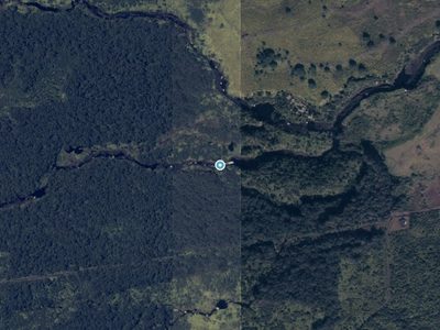
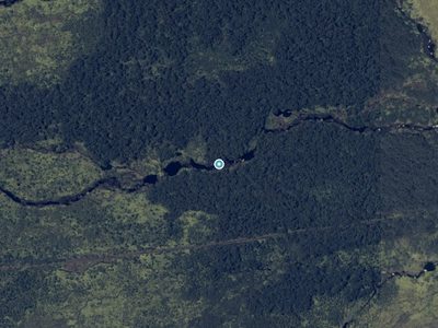
Specific directions to Kauwehu Falls are not well-documented. Visitors may need to consult local guides or resources for accurate navigation. It is likely located in a remote area, requiring off-road travel or hiking.
Get Directions on Google MapsParking
Parking availability is unclear. Visitors should prepare for limited or no designated parking areas near the falls.
Elevation
1,243 feet above sea level
Coordinates
19.711712° N, -155.156248° W
Land Management
Managed by SDNR
Visitor Tips & Gear
Bring a GPS device or offline maps, as the location may be difficult to find. Check with local authorities or guides for the most accurate and up-to-date information.
Where to Stay

SCP Hilo Hotel

Somewhere over the Rainbow Loft with AC Hilo

Grand Naniloa Hotel, a Doubletree by Hilton

Hawaii Magic Skies B&B Farmstay
Browse vacation cabins and private rentals nearby
Unique outdoor stays — tents, yurts, and treehouses
Rent a campervan or RV for your waterfall road trip
Some links are affiliate links. We may earn a commission at no extra cost to you.
Nearby Hot Springs
Hot springs near Kauwehu Falls, Hawaii
Akins Spring
Akins Spring flows 84°F water on Hawaii's Big Island, 11 degrees warmer than the tropical 73°F ambient, requiring a short walk ...

Steam Vents
These high-elevation steam vents rise to 13,426 feet on Mauna Loa's slopes, making them among Hawaii's highest geothermal featu...

Steam Vents
Steam vents emerge where volcanic heat meets restricted military lands on Hawaii's Big Island. These fumaroles sit at 4,003 fee...

Steam Vents
Steam vents at 3,620 feet emerge within Hawai'i Volcanoes National Park where volcanic heat creates dramatic fumarolic activity...
Steam Vents
Steam Vents represent superheated geothermal manifestations on Hawaii's Big Island where steam escapes through volcanic bedrock...

Steam Vents
Steam vents at 3,559 feet emerge on Kilauea's slopes where volcanic heat intersects abundant rainfall to create dramatic fumaro...
Looking for a soak after your hike? Explore more hot springs near Kauwehu Falls, Hawaii on SoakingSprings.
Explore Hawaii springsAdditional Information
Nearby Attractions
Nearby attractions are not well-documented. Visitors may explore other natural sites in the area depending on the region of Hawaii.
Wildlife
The area may feature native Hawaiian flora and fauna, including tropical birds and plants. Be cautious of potential hazards like insects or uneven terrain.
Nearby Waterfalls
 Aerial
 Aerial

Writing about Kauwehu Falls? Embed this waterfall on your site for free.