Photo Credits (4)
Difficulty
Easy
Trail Length
0.5 miles
Trail Type
Out And Back
About Kansas Falls
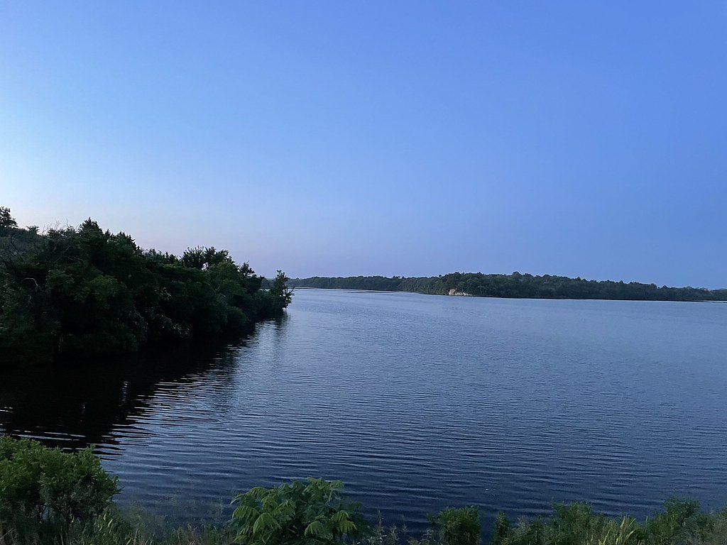
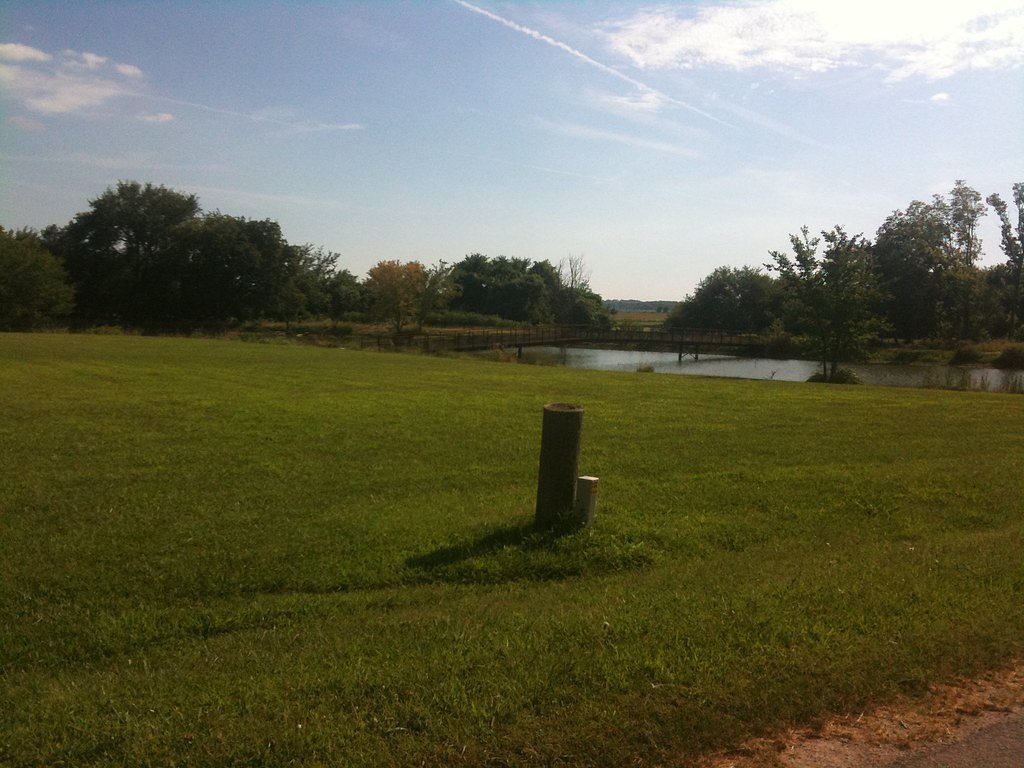
Kansas Falls sits near Junction City, Kansas, as a small but scenic drop on the Kansas River system. The cascade is framed by tranquil riparian vegetation and is most impressive after heavy rains or during spring runoff, when the river’s flow swells and the falls take on a livelier character. It’s a favorite short outing for locals looking for a quick nature break without a long drive. The walk in to Kansas Falls is a moderately paced hike rather than a flat stroll: the route is a 2.4-mile out-and-back that gains about 350 feet in elevation and is rated moderate. Expect a compact, natural trail that can become muddy after rain, so bring sturdy footwear. The nearest developed camping is at Thunderbird Marina, roughly 12.1 km from the falls for those planning an overnight stay.
Trail & Hike Details
Trail Description
Trail type: out-and-back. Length: 2.4 miles (round trip). Elevation gain: approximately 350 feet. Difficulty: moderate. The trail covers a relatively short distance with modest cumulative climbing; hikers should be prepared for uneven natural tread and sections that may become slippery or muddy after rain. Suitable for hikers comfortable with moderate effort and short uphill segments; allow time to pause and enjoy the falls at the turnaround.
What to Expect
Dogs are welcome.
Accessibility
The trail is short and relatively flat, but the surface may be uneven. Contact the managing agency for accessibility details.
Frequently Asked Questions
🐶 Are Dogs Allowed at Kansas Falls?
✅ Dogs are allowed
Are There Any Fees or Permits Required?
🆖 No fees required
🏊 Is There Swimming at Kansas Falls?
❌ Swimming is not allowed
When to Visit
Spring and early summer are the best times to visit, as the water flow is typically higher during these seasons.
Seasonal Access
The best time to visit is Spring, Summer, and Fall. Winter access may be limited.
Safety Information
Be cautious of slippery rocks near the waterfall, especially after rain. Avoid visiting during heavy rainfall or flooding, as the area may become unsafe.
7-Day Flow Outlook
Based on the USGS gauge LYON C NR JUNCTION CITY, KS (5 km away).
Best time of year: this gauge typically runs highest from mid May to mid July, peaking in May.
How we calculate this
This is a transparent outlook, not a precise forecast. We take the waterfall's current flow strength (how it ranks against its historical normal for today, from the nearest USGS stream gauge), carry that ranking forward along the gauge's seasonal curve, and nudge it for forecast rain. Confidence is highest for the next day or two and falls further out. Always check official conditions and your own judgment before visiting — high flows can be dangerous.
Know when to go.
Get a free email alert when waterfalls near Chapman hit peak flow. We only send when conditions are worth the trip — no weekly newsletters, no spam.
Weather Forecast
The Terrain, Seen by LiDAR
Aircraft-mounted lasers measured this ground to within inches. Trees and buildings are digitally stripped away, leaving the bare shape of the land the water has carved.
Through the falls the surface drops roughly 78 feet over a short, steep run of tiers. Elevation at the pin is about 1,071 feet.
The ground changes about 86 feet in the 500 feet above the falls and 23 feet in the 500 feet below. Facing north, the falls stay mostly shaded, with soft, even light all day.
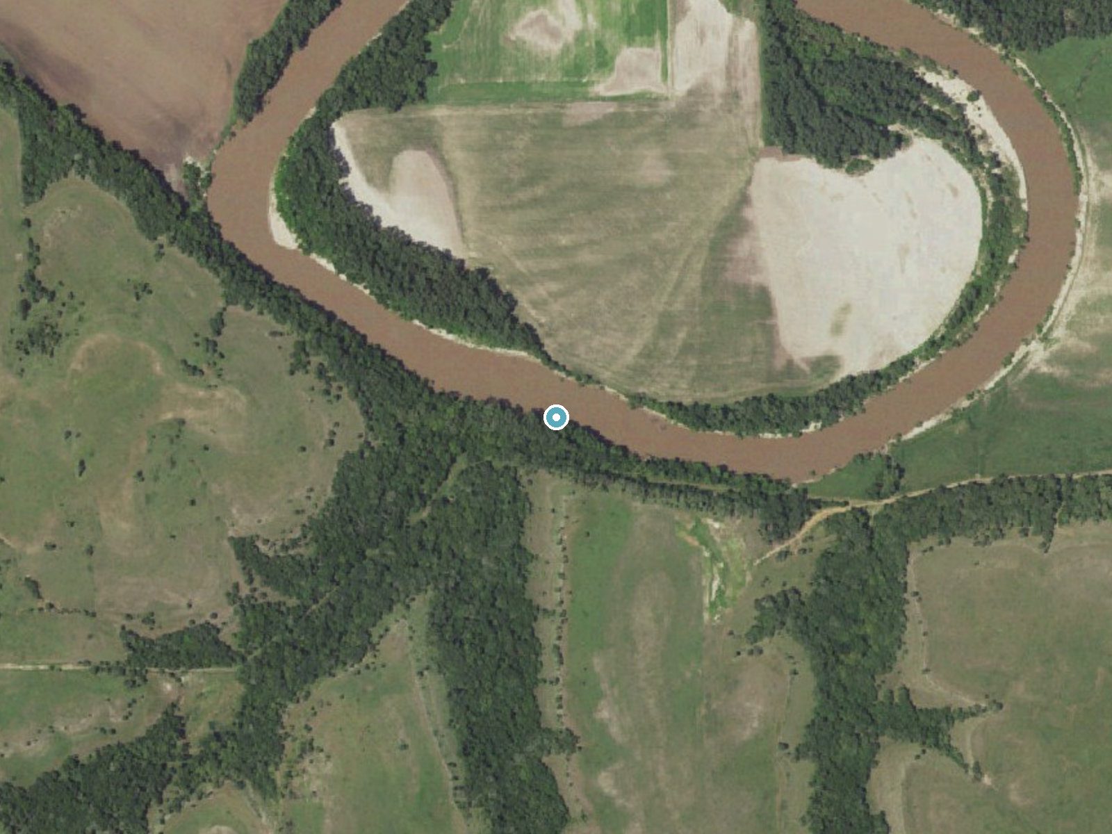
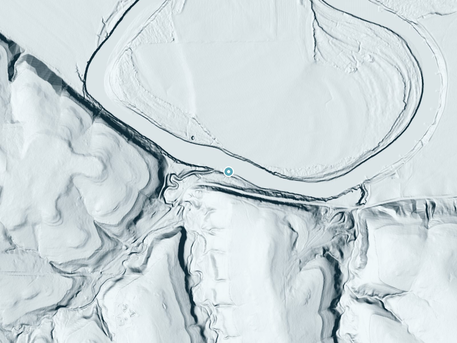
Drag to compare. The dot marks the waterfall. The frame is about a mile across.
- Ground elevation
- 1,071 feet
- Measured by 1-meter lidar
- Drop at the falls
- About 75 feet
- Change in ground height within ~250 feet of the falls
- Faces
- North
- Mostly shaded, so the light stays soft and even all day.
A slice through the lidar ground surface, from above the falls to downstream (heading north).
Elevation data: USGS 3D Elevation Program. Aerial imagery: USGS The National Map. Public domain.
Location & Access
Getting There
Kansas Falls is located near Junction City, Kansas, and can be accessed via local roads. It is situated near the Kansas River and is relatively easy to find with GPS navigation.
Get Directions on Google MapsParking
There is limited parking available near the falls. Visitors are advised to park in designated areas to avoid blocking access roads.
Hours
Elevation
1,066 feet above sea level
Coordinates
38.960833° N, -96.911122° W
Visitor Tips & Gear
Visit after recent rainfall for the best water flow. Bring sturdy shoes if visiting after rain, as the trail may be muddy. There are no facilities on-site, so plan accordingly.
Where to Stay

Hampton Inn Junction City

Quality Inn Junction City near Fort Riley

Holiday Inn Express & Suites Abilene by IHG

Sonesta Essential Junction City
Browse vacation cabins and private rentals nearby
Unique outdoor stays — tents, yurts, and treehouses
Rent a campervan or RV for your waterfall road trip
Some links are affiliate links. We may earn a commission at no extra cost to you.
Nearby Campground
Thunderbird Marina
7.5 miles away · 0 sites
This recreation area is part of Milford Lake
Book on Recreation.govAdditional Information
Nearby Attractions
Nearby attractions include Milford Lake and the Konza Prairie Biological Station, both of which offer additional outdoor activities and scenic views.
Wildlife
The area around Kansas Falls is home to various bird species, small mammals, and aquatic life. Visitors may also see wildflowers during the spring.
Writing about Kansas Falls? Embed this waterfall on your site for free.