
Photo Credits (5)
Difficulty
Drive Up
Trail Length
0.1 miles
Trail Type
Out And Back
Elevation Gain
50 ft
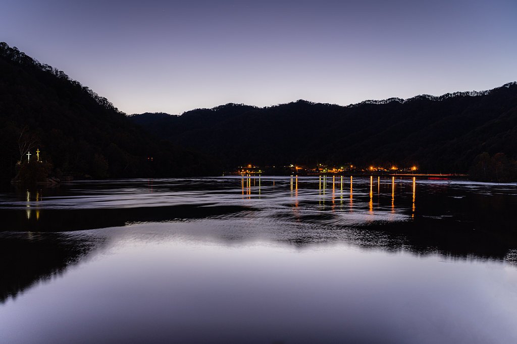
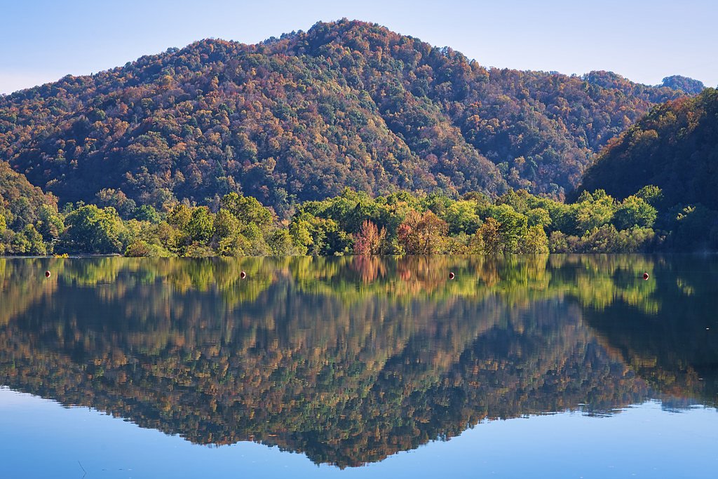
About Kanawha Falls
Kanawha Falls is a broad, scenic cascade on the Kanawha River in West Virginia, where the river pours over a diagonal sandstone ledge about 1 mile (1.6 km) downstream from the confluence of the New and Gauley rivers. Rather than a single vertical drop, the falls span the river in a long, energetic series of rapids that together measure about 24 feet (7.3 m) in total height. That sandstone barrier has shaped the river’s ecology for millennia — according to Wikipedia, Kanawha Falls has acted as a barrier to fish movement for more than one million years — giving the site both geological and biological significance alongside its photogenic flow. The falls are highly accessible and make a rewarding short stop for photographers and families looking for dramatic river views without a long hike. A parking/viewing area provides close access to the water’s edge, so visitors can enjoy the continuous cascade and listen to the river’s rush with only a brief walk from the roadside. It’s an easy, atmospheric spot to stretch your legs and admire a distinctive West Virginia river landmark.
The Setting
Kanawha Falls sits at 646 feet along the Kanawha River, in the foothills of West Virginia.
Trail & Hike Details
The Approach
No hiking required. Kanawha Falls is accessible by vehicle with a roadside viewing area.
Trail Description
This is a very short, drive-up viewpoint with a 0.1-mile out-and-back spur and roughly 50 feet of elevation gain. Difficulty is listed as “drive_up,” indicating vehicle access to the vicinity of the falls and only a minimal walk to the viewing area. Trail type: out-and-back; length: 0.1 miles; elevation gain: ~50 ft. No additional formal trail surface, grade, or classification information was provided.
What to Expect
Dogs are welcome.
Accessibility
This waterfall is viewable from a vehicle-accessible area. No hiking is required.
Frequently Asked Questions
🐶 Are Dogs Allowed at Kanawha Falls?
✅ Dogs are allowed
Are There Any Fees or Permits Required?
🆖 No fees required
🏊 Is There Swimming at Kanawha Falls?
❌ Swimming is not allowed
When to Visit
Spring and early summer are ideal times to visit, as the water flow is typically stronger due to seasonal rains.
Seasonal Access
The best time to visit is Spring, Summer, Fall, and Winter.
Safety Information
Exercise caution near the riverbank as the rocks can be slippery. Avoid getting too close to the water due to strong currents. Always supervise children and pets.
Current Water Conditions
7,290 ft³/s
Current discharge — how much water is flowing
About average for this time of year
Based on 87 years of record
4.47 ft
Water depth at gauge
72°F
ComfortablePleasant for swimming
7-Day Discharge Trend
What does this mean for your visit?
Flow is about average for this time of year. The water is a comfortable 72 degrees F, pleasant for swimming.
About This Gauge
7-Day Flow Outlook
Based on the USGS gauge KANAWHA RIVER AT KANAWHA FALLS, WV (1 km away).
Today
Strong
8242 cfs
7/10Tomorrow
Moderate
8051 cfs
8/10Tue
Moderate
7328 cfs
9/10Wed
Moderate
6950 cfs
9/10Thu
Moderate
7314 cfs
9/10Fri
Moderate
6894 cfs
9/10Sat
Strong
8083 cfs
7/10Best window: Tue — moderate flow, sunny (trip score 9/10).
Best time of year: this gauge typically runs highest from mid February to mid April, peaking in March.
How we calculate this
This is a transparent outlook, not a precise forecast. We take the waterfall's current flow strength (how it ranks against its historical normal for today, from the nearest USGS stream gauge), carry that ranking forward along the gauge's seasonal curve, and nudge it for forecast rain. Confidence is highest for the next day or two and falls further out. Always check official conditions and your own judgment before visiting — high flows can be dangerous.
Know when to go.
Get a free email alert when waterfalls near Glen Ferris hit peak flow. We only send when conditions are worth the trip — no weekly newsletters, no spam.
Weather Forecast
Location & Access
Getting There
Kanawha Falls is located near the town of Glen Ferris, West Virginia, along US Route 60. The falls are easily visible from the road, and there is a parking area nearby for visitors.
Get Directions on Google MapsParking
There is a small parking area near the falls, which is free to use. Visitors can park close to the viewing area for easy access.
Elevation
646 feet above sea level
Coordinates
38.151219° N, -81.212330° W
Visitor Tips & Gear
Visit during the spring or after rainfall for the most dramatic water flow. Bring a camera to capture the scenic views. Be cautious near the riverbank as the rocks can be slippery.
As an Amazon Associate, we earn from qualifying purchases.
For this easy 0.1 miles trail, lightweight trail shoes and a water bottle are usually sufficient. Icy conditions are common in winter — traction cleats are a smart addition.

Columbia Watertight II Rain Jacket
Packs into its own pocket, seam-sealed, and keeps you dry from spray and surprise rain.

Polarized Sunglasses (Knockaround)
Cuts glare off the water so you actually see the falls — and your photos turn out better too.

Earth Pak Waterproof Dry Bag
Keeps your phone and gear dry when waterfall mist soaks everything else.

Waterproof Phone Pouch (AiRunTech)
Cheap insurance — take photos right next to the falls without killing your phone.

Kahtoola MICROspikes
Cult-favorite traction cleats that grip ice and wet rock — essential for winter waterfall hikes.

JOBY GorillaPod Starter Kit
Wraps around railings and rocks for long-exposure waterfall shots — no flat surface needed.
Where to Stay

Quality Inn New River Gorge

Comfort Inn New River

Country Road Cabins

Adventure Cabin with Private Pond Near New River Gorge, Gauley & Summersville Lake
Browse vacation cabins and private rentals nearby
Unique outdoor stays — tents, yurts, and treehouses
Rent a campervan or RV for your waterfall road trip
Some links are affiliate links. We may earn a commission at no extra cost to you.
Nearby Campground
BATTLE RUN
17.1 miles away · 117 sites
Overview Battle Run Campground is conveniently located just south of Summersville, West Virginia, on the shores of the largest lake in the state. Superb water quality and sheer sandstone cliffs make Summersville Lake a popular destination for outdoor enthusiasts.Recreation The 2790-acre lake provides excellent boating, water skiing, swimming, and scuba diving. Anglers will find large and smallmouth bass, walleye, panfish, and catfish. Trout are stocked below the dam in spring and fall. Visitors a
Book on Recreation.govAdditional Information
Nearby Attractions
Hawks Nest State Park, Cathedral Falls, and the New River Gorge National Park are all located within a short drive of Kanawha Falls.
Wildlife
The area around Kanawha Falls is home to various bird species, including herons and kingfishers. Visitors may also spot fish in the river.
Cities near Kanawha Falls
Writing about Kanawha Falls? Embed this waterfall on your site for free.