
Photo Credits (5)
Difficulty
Moderate
Trail Length
2.4 miles
Trail Type
Out And Back
Elevation Gain
350 ft
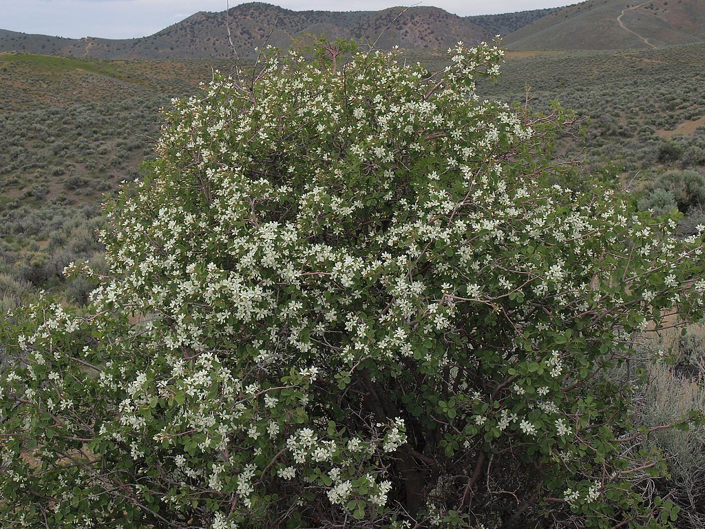
About Jumbo Falls
Jumbo Falls is a secluded cascade tucked into public BLM ground in Nevada, offering a quiet reward for hikers who seek solitude and a little exploration. The falls sit on land managed by the Bureau of Land Management’s Sierra Front Field Office (designation: PUB), so the setting feels wild and unspoiled rather than developed. Visitors come for the rugged scenery and the peaceful atmosphere more than for crowds or built viewpoints. Access to Jumbo Falls is via a short out-and-back route of about 2.4 miles round trip with roughly 350 feet of elevation gain, rated moderate. The trail and approach are not heavily maintained or formally marked, so come prepared with a map, GPS or good route-finding skills. The nearest developed campground is Mount Rose (NV), about 17.75 km away, so plan water and supplies accordingly for a day outing in this remote BLM area.
The Setting
Jumbo Falls sits at 5,978 feet within Sierra Front Field Office, in the high mountains of Nevada.
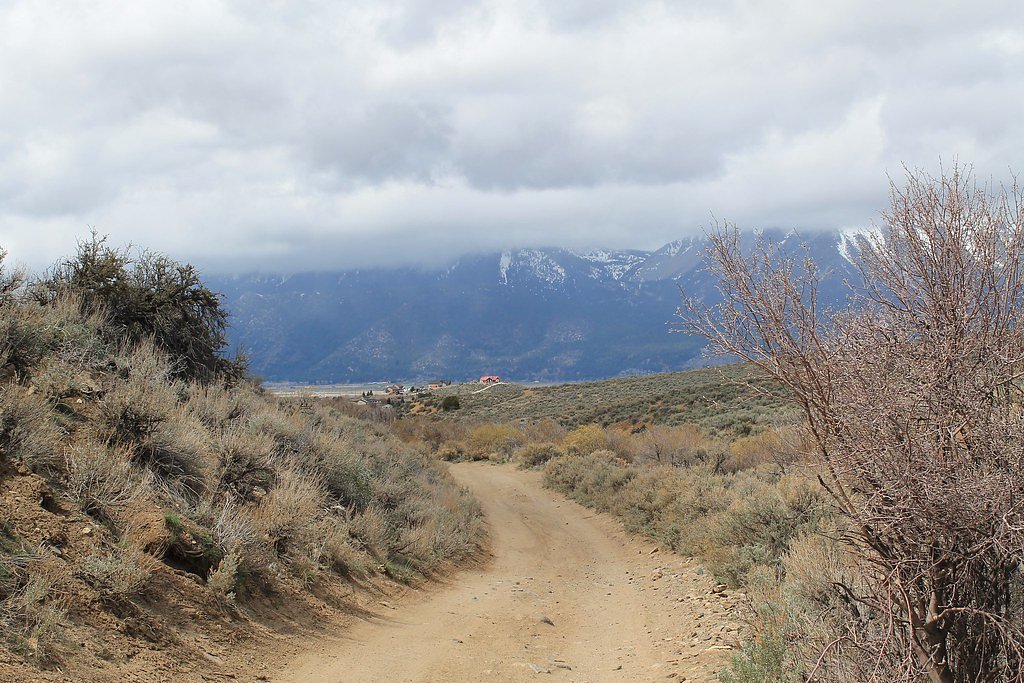
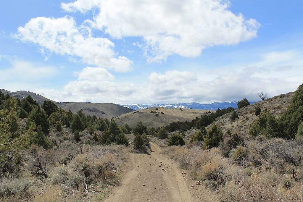
Trail & Hike Details
The Approach
The moderate 2.4-mile out-and-back trail gains 350 feet of elevation on the way to the falls.
Trail Description
Out-and-back route, 2.4 miles round trip with approximately 350 feet of elevation gain; difficulty: moderate. There is no USFS trail number or formal maintained trail record for this approach—access is to public BLM land managed by the Sierra Front Field Office. The path is not well-documented and may require navigating unmarked or primitive routes; surface/grade/class are not recorded as an official maintained trail. Hikers should expect to rely on navigation tools, wear sturdy footwear, and be prepared for rugged, informal terrain.
What to Expect
Expect a remote and quiet experience with minimal crowds. The waterfall may vary in flow depending on the season, with spring and early summer typically offering the best water levels.
Accessibility
The trail is not wheelchair accessible. Uneven terrain and elevation changes require steady footing.
Frequently Asked Questions
🐶 Are Dogs Allowed at Jumbo Falls?
❌ Dogs are not allowed
Are There Any Fees or Permits Required?
🆖 No fees required
🏊 Is There Swimming at Jumbo Falls?
❌ Swimming is not allowed
When to Visit
Spring and early summer are the best times to visit, as the waterfall is likely to have the most water flow during these seasons.
Seasonal Access
The best time to visit is Spring, Summer, and Fall. Access roads and trails may close during winter due to snow. Watch for flash flood warnings during monsoon season (July through September).
Safety Information
Visitors should be prepared for remote conditions. Bring adequate supplies, inform someone of your plans, and be cautious of changing weather or trail conditions.
Current Water Conditions
1 ft³/s
Current discharge — how much water is flowing
Lower than usual for this time of year
Based on 64 years of record
1.16 ft
Water depth at gauge
7-Day Discharge Trend
What does this mean for your visit?
Flow is lower than usual for this time of year.
About This Gauge
7-Day Flow Outlook
Based on the USGS gauge STEAMBOAT CK AT STEAMBOAT, NV (7 km away).
Today
Moderate
1 cfs
9/10Tomorrow
Moderate
1 cfs
9/10Mon
Moderate
1 cfs
9/10Tue
Moderate
1 cfs
9/10Wed
Moderate
1 cfs
9/10Thu
Moderate
1 cfs
9/10Fri
Moderate
1 cfs
9/10Best window: Today — moderate flow, sunny (trip score 9/10).
Best time of year: this gauge typically runs highest from late April to late June, peaking in May.
How we calculate this
This is a transparent outlook, not a precise forecast. We take the waterfall's current flow strength (how it ranks against its historical normal for today, from the nearest USGS stream gauge), carry that ranking forward along the gauge's seasonal curve, and nudge it for forecast rain. Confidence is highest for the next day or two and falls further out. Always check official conditions and your own judgment before visiting — high flows can be dangerous.
Know when to go.
Get a free email alert when waterfalls near Virginia City hit peak flow. We only send when conditions are worth the trip — no weekly newsletters, no spam.
Weather Forecast
Location & Access
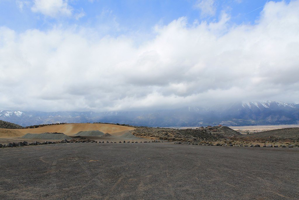
Getting There
Jumbo Falls is located in a remote area of Nevada. Access typically requires driving on unpaved roads, and a high-clearance vehicle may be necessary. Directions can vary depending on the starting point, so consulting a detailed map or GPS is recommended.
Get Directions on Google MapsParking
Parking is limited and may be informal, typically along the roadside or at a small clearing near the trailhead.
Elevation
5,978 feet above sea level
Coordinates
39.330259° N, -119.692368° W
Land Management
Managed by BLM
Visitor Tips & Gear
Bring plenty of water, wear sturdy hiking boots, and ensure your vehicle is suitable for unpaved roads. Cell service may be unreliable, so plan accordingly.
This trail sits at 5,978 ft above sea level
Elevated TrailUV radiation is roughly 24% stronger at this elevation than at sea level, and the dry air accelerates dehydration. Extra sun protection and fluids go a long way.
As an Amazon Associate, we earn from qualifying purchases.

Coppertone Sport SPF 50 Sunscreen
UV intensity jumps ~4% per 1,000 ft — at this elevation you can burn in half the time.

Sun Bum SPF 30 Lip Balm (3-Pack)
Lips have almost no natural UV protection and burn fast in thin, dry mountain air.

Liquid I.V. Electrolyte Packets
You lose moisture ~2x faster at elevation — electrolytes help you absorb water efficiently.

ROCKNIGHT Polarized UV400 Sunglasses
High-altitude glare off rock and water is intense — UV400 lenses block 99%+ of UVA/UVB.
As an Amazon Associate, we earn from qualifying purchases.
With 2.4 miles and 350 ft of elevation gain, sturdy boots and trekking poles will help on this moderate trail. Sun exposure on the trail makes good sun protection a must in summer.

Polarized Sunglasses (Knockaround)
Cuts glare off the water so you actually see the falls — and your photos turn out better too.

Columbia Watertight II Rain Jacket
Packs into its own pocket, seam-sealed, and keeps you dry from spray and surprise rain.

Earth Pak Waterproof Dry Bag
Keeps your phone and gear dry when waterfall mist soaks everything else.

Waterproof Phone Pouch (AiRunTech)
Cheap insurance — take photos right next to the falls without killing your phone.

Timberland Euro Sprint Mid Waterproof
Trusted waterproof boot with premium leather and grippy rubber sole — reliable on rocky, wet trails.

TrailBuddy Trekking Poles
Lightweight aluminum, cork grips, and flip-locks that actually hold — a best-seller for good reason.
Where to Stay

Silverland Inn

North Lake Lodges & Villas

Tahoe Chaparral

Silver Legacy Reno, A Caesars Destination
Browse vacation cabins and private rentals nearby
Unique outdoor stays — tents, yurts, and treehouses
Rent a campervan or RV for your waterfall road trip
Some links are affiliate links. We may earn a commission at no extra cost to you.
Nearby Campground
MOUNT ROSE (NV)
11 miles away · 26 sites
Overview Mount Rose Campground is conveniently located between Reno and Lake Tahoe just off scenic Mount Rose Highway. Visitors love the campground for its proximity to excellent hiking trails and recreational opportunities at Lake Tahoe.Recreation Hiking is the most popular pastime at Mount Rose. Several trails, including the Tahoe Meadows, Tahoe Rim, Mount Rose Wilderness and Mount Rose Summit Trails, begin very close to the campground.Facilities Mount Rose contains single and double-family sit
Book on Recreation.govNearby Hot Springs
Hot springs near Virginia City, Nevada

Steamboat Springs
Steamboat Springs reaches 205 degrees Fahrenheit at 4,596 feet elevation in Storey County, making it one of Nevada's hottest ge...

Steamboat Springs
Steamboat Springs delivers superheated water at 205°F from a volcanic field of rhyolitic lava domes south of Reno, emerging 151...

Dimonte Spring
Dimonte Spring emerges at 127°F from foothill terrain at 4,550 feet elevation near Sparks, flowing 72.6°F above ambient air tem...

Zolezzi Spring
Zolezzi Spring emerges at 102°F just one meter from South Virginia Street in Washoe County, flowing 48 degrees above the ambien...

Huffaker Springs
Huffaker Springs emerges at 81 degrees Fahrenheit within Reno-Sparks suburban development, located just 2.5 meters from Rio Wra...

Double Diamond Spring
Double Diamond Spring emerges at 84°F just 9.5 meters from Double Diamond Parkway in Sparks, making it one of Nevada's most acc...
Looking for a soak after your hike? Explore more hot springs near Virginia City, Nevada on SoakingSprings.
Explore Nevada springsAdditional Information
Nearby Attractions
The surrounding area offers opportunities for hiking and exploring Nevada's rugged landscapes.
Wildlife
Wildlife in the area may include deer, birds, and small mammals. Be cautious of snakes and other desert wildlife.
Cities near Jumbo Falls
Other waterfalls named Jumbo Falls
1 other waterfall shares this name across the U.S.
Writing about Jumbo Falls? Embed this waterfall on your site for free.