Photo Credits (5)
Difficulty
Moderate
Trail Length
2.4 miles
Trail Type
Out And Back
Elevation Gain
350 ft
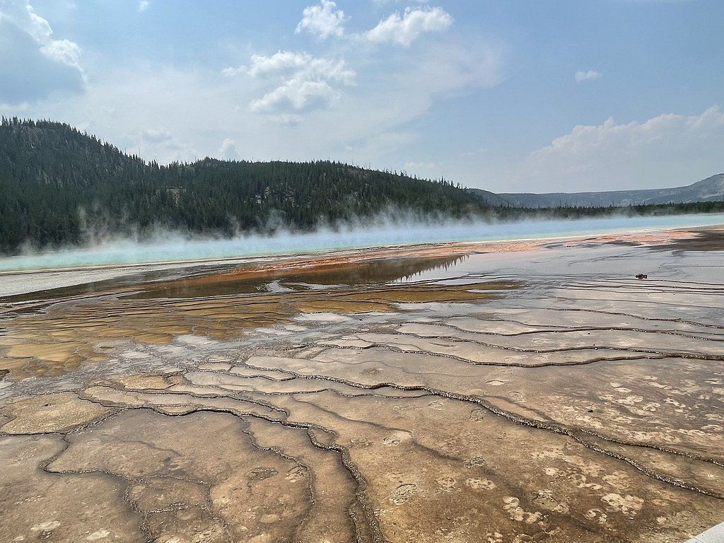
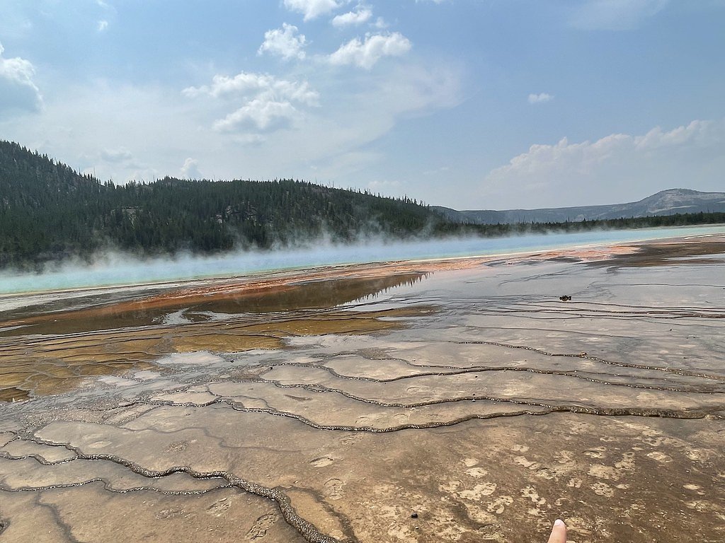
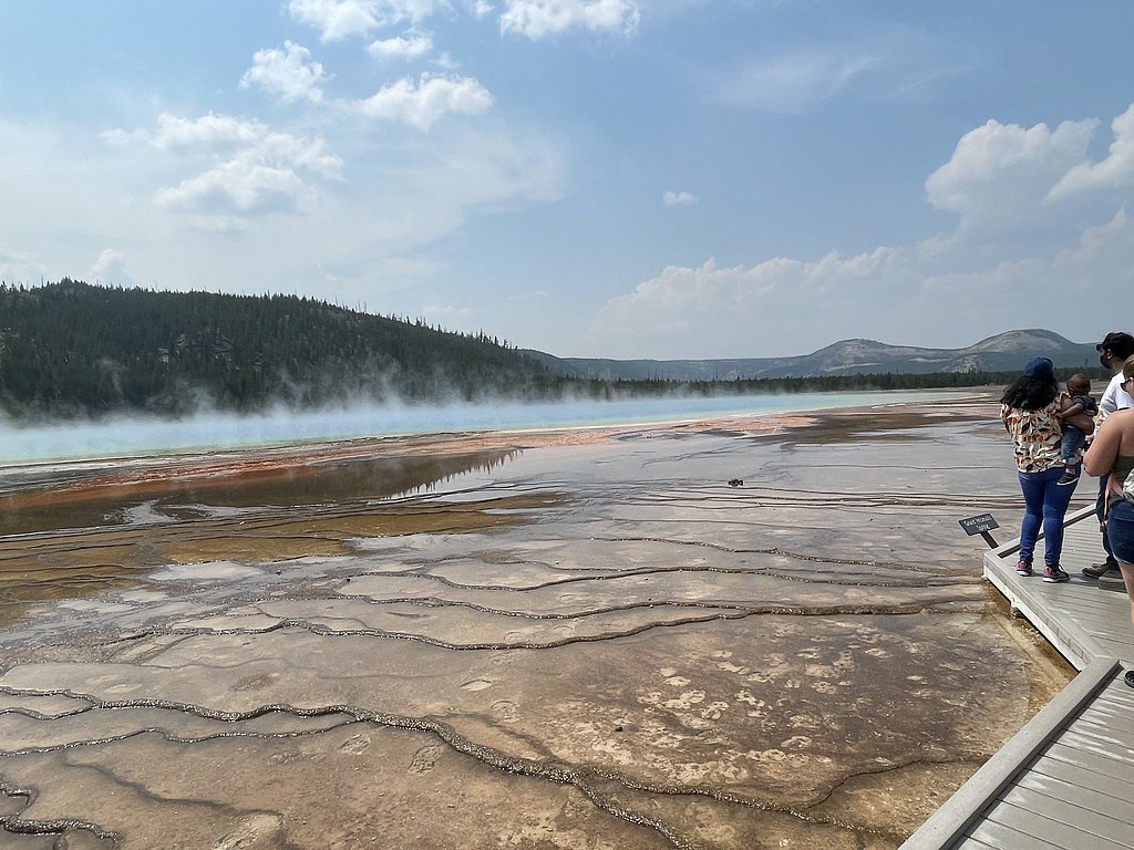
About Jackson Falls
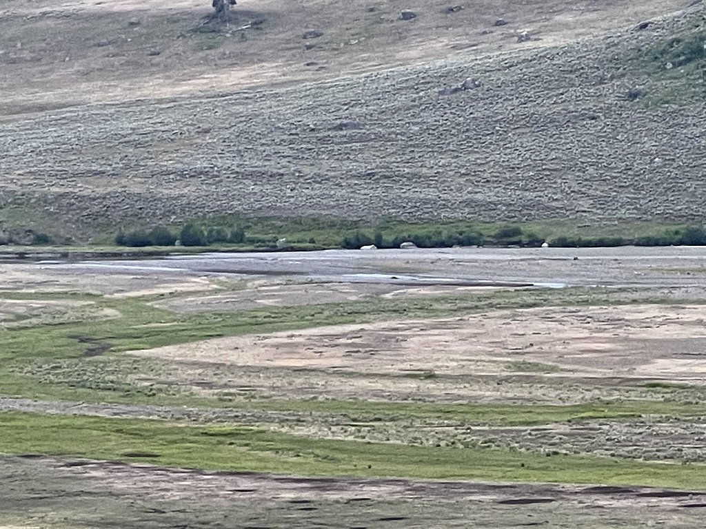
Jackson Falls is a quiet, lesser-known cascade tucked into the high desert of Nevada on public lands managed by the Bureau of Land Management’s Tonopah Field Office. The fall is most conspicuous during spring snowmelt or after heavy rains, when water threads through the rocky outcrops and contrasts with the surrounding rugged desert landscape. Because it sits on BLM (PUB) land, the setting feels remote and uncrowded — a rewarding pick for hikers who enjoy solitude and scenic geology rather than crowded tourist sites. Access to Jackson Falls is typically via a moderate out-and-back route of about 2.4 miles with roughly 350 feet of elevation gain, making it a good half-day outing for prepared hikers. The trail leads through desert terrain with rocky footing and offers close-up views of the falls when water is present; check with the Tonopah Field Office for seasonal conditions and access notes before you go. Bring plenty of water, sun protection, and navigation tools, and follow Leave No Trace principles while exploring this BLM-managed canyon.
The Setting
Jackson Falls sits at 7,546 feet within Tonopah Field Office, in the high mountains of Nevada.
Trail & Hike Details
The Approach
The moderate 2.4-mile out-and-back trail gains 350 feet of elevation on the way to the falls.
Trail Description
Route: 2.4-mile out-and-back. Elevation gain: ~350 feet. Difficulty: Moderate. The route to Jackson Falls is commonly described as a moderate 2.4-mile out-and-back with about 350 feet of climbing. Official USFS trail surface/grade/class data are not applicable or not available for this BLM route; hikers should expect unpaved, uneven desert terrain and potentially lightly maintained or unmarked sections. Good footwear, water, and basic navigation are recommended.
What to Expect
Visitors can expect a remote and potentially rugged experience. The waterfall may be seasonal and could vary significantly in flow depending on recent weather conditions.
Accessibility
The trail is not wheelchair accessible. Uneven terrain and elevation changes require steady footing.
Frequently Asked Questions
🐶 Are Dogs Allowed at Jackson Falls?
❌ Dogs are not allowed
Are There Any Fees or Permits Required?
🆖 No fees required
🏊 Is There Swimming at Jackson Falls?
❌ Swimming is not allowed
When to Visit
Spring is typically the best time to visit, as snowmelt may contribute to the waterfall's flow. Summer and fall may also be suitable, but the waterfall could be dry during these seasons.
Seasonal Access
The best time to visit is Spring, Summer, and Fall. Access roads and trails may close during winter due to snow. Watch for flash flood warnings during monsoon season (July through September).
Safety Information
Visitors should be cautious of flash floods, especially during or after rain. The area may have limited cell service, so plan accordingly. Bring adequate supplies and inform someone of your plans before visiting.
Know when to go.
Get a free email alert when waterfalls near Tonopah hit peak flow. We only send when conditions are worth the trip — no weekly newsletters, no spam.
Weather Forecast
Location & Access
Getting There
Specific directions to Jackson Falls are not well-documented. Visitors are advised to consult local maps or guides for accurate navigation. The falls may be located in a remote area, requiring a high-clearance vehicle or hiking to access.
Get Directions on Google MapsParking
Parking availability is unclear. Visitors should prepare for limited or no designated parking areas near the falls.
Elevation
7,546 feet above sea level
Coordinates
38.024620° N, -116.467435° W
Land Management
Managed by BLM
Visitor Tips & Gear
Bring plenty of water, as the area is likely arid. Wear sturdy hiking boots and be prepared for uneven or rocky terrain. Check weather conditions before visiting, as flash floods may occur in desert areas.
This trail sits at 7,546 ft above sea level
Elevated TrailUV radiation is roughly 30% stronger at this elevation than at sea level, and the dry air accelerates dehydration. Extra sun protection and fluids go a long way.
As an Amazon Associate, we earn from qualifying purchases.

Coppertone Sport SPF 50 Sunscreen
UV intensity jumps ~4% per 1,000 ft — at this elevation you can burn in half the time.

Sun Bum SPF 30 Lip Balm (3-Pack)
Lips have almost no natural UV protection and burn fast in thin, dry mountain air.

Liquid I.V. Electrolyte Packets
You lose moisture ~2x faster at elevation — electrolytes help you absorb water efficiently.

ROCKNIGHT Polarized UV400 Sunglasses
High-altitude glare off rock and water is intense — UV400 lenses block 99%+ of UVA/UVB.
As an Amazon Associate, we earn from qualifying purchases.
With 2.4 miles and 350 ft of elevation gain, sturdy boots and trekking poles will help on this moderate trail. Sun exposure on the trail makes good sun protection a must in summer.

Polarized Sunglasses (Knockaround)
Cuts glare off the water so you actually see the falls — and your photos turn out better too.

Columbia Watertight II Rain Jacket
Packs into its own pocket, seam-sealed, and keeps you dry from spray and surprise rain.

Earth Pak Waterproof Dry Bag
Keeps your phone and gear dry when waterfall mist soaks everything else.

Waterproof Phone Pouch (AiRunTech)
Cheap insurance — take photos right next to the falls without killing your phone.

Timberland Euro Sprint Mid Waterproof
Trusted waterproof boot with premium leather and grippy rubber sole — reliable on rocky, wet trails.

TrailBuddy Trekking Poles
Lightweight aluminum, cork grips, and flip-locks that actually hold — a best-seller for good reason.
Where to Stay
Browse vacation cabins and private rentals nearby
Unique outdoor stays — tents, yurts, and treehouses
Rent a campervan or RV for your waterfall road trip
Some links are affiliate links. We may earn a commission at no extra cost to you.
Nearby Hot Springs
Hot springs near Tonopah, Nevada
Reveille Mill Spring
Reveille Mill Spring flows at 84°F from BLM land in Nye County at 6,422 feet elevation, emerging 32 degrees above the 52°F ambi...
Spring
This 86-degree spring flows on Bureau of Land Management public lands 1,065 meters from the nearest road at 5,635 feet elevatio...

Warm Springs
Warm Springs flows at exceptional 145 degrees Fahrenheit, standing 90.6 degrees above ambient air temperature near Tonopah in N...
Cedar Spring
Cedar Spring emerges at 77°F at 6,540 feet elevation on the Nevada Test and Training Range in Esmeralda County, flowing 25 degr...
Warm Spring
Warm Spring emerges at warm but unmeasured temperature just 47 meters from roadside access at 6,213 feet in Nye County near Ton...
Upper Warm Spring
Upper Warm Spring flows at 95°F within Toiyabe National Forest in Nye County, positioned just 24 meters from a roadside locatio...
Looking for a soak after your hike? Explore more hot springs near Tonopah, Nevada on SoakingSprings.
Explore Nevada springsAdditional Information
Nearby Attractions
Nearby attractions are not well-documented. Visitors may explore other natural features in the area, such as desert landscapes or hiking trails.
Wildlife
The area may host desert wildlife, including lizards, birds, and small mammals. Be cautious of snakes and other potentially hazardous animals.
Cities near Jackson Falls
Other waterfalls named Jackson Falls
4 other waterfalls share this name across the U.S.
Writing about Jackson Falls? Embed this waterfall on your site for free.