
Photo Credits (5)
Difficulty
Moderate
Trail Length
5.0 miles
Trail Type
Out And Back
Elevation Gain
300 ft
About Islay Falls
Islay Falls is a picturesque waterfall located in San Luis Obispo County, California. It is part of the Islay Creek area within Montaña de Oro State Park, known for its scenic coastal views and diverse hiking trails. The waterfall is seasonal and typically flows strongest during the spring months after winter rains.
The Setting
Islay Falls sits at 171 feet within Montaña de Oro State Park, in the coastal lowlands of California.
Trail & Hike Details
The Approach
The moderate 5.0-mile out-and-back trail gains 300 feet of elevation on the way to the falls.
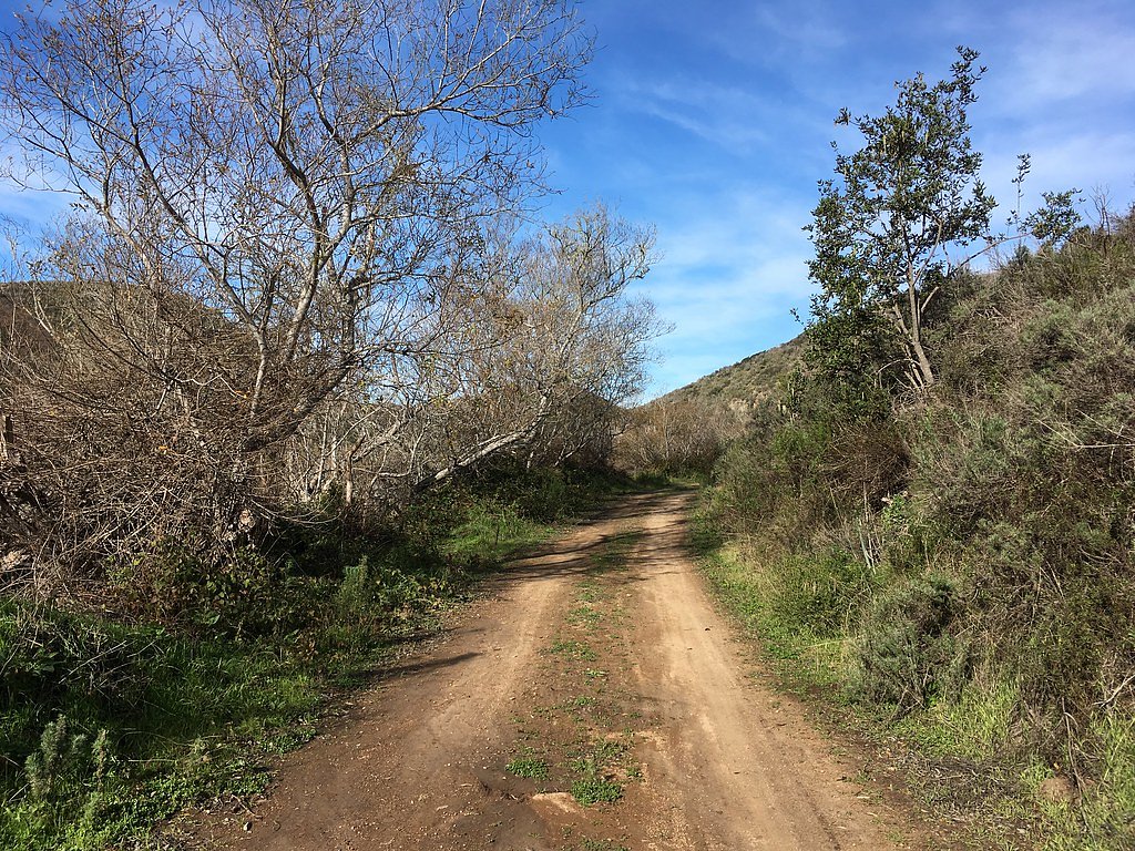
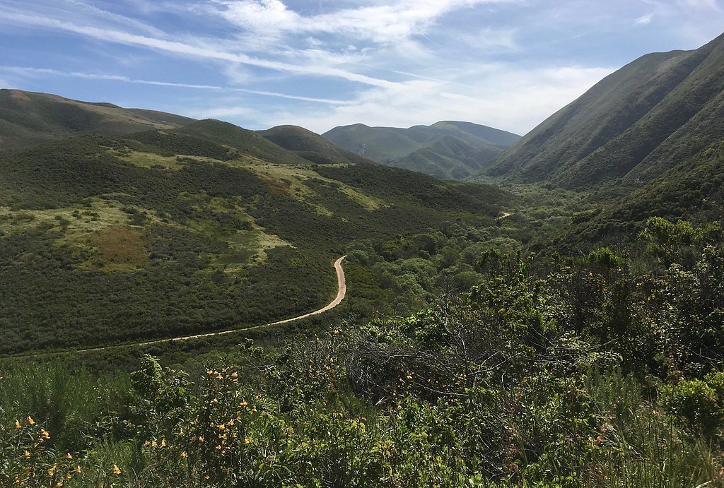
Trail Description
The trail to Islay Falls follows the Islay Creek Trail, which is a well-maintained path through a scenic canyon. The trail is mostly flat with a few gentle inclines, making it accessible to most hikers. The waterfall is located near the end of the trail and may require some light scrambling to view up close.
What to Expect
Dogs are welcome.
Accessibility
The trail is not wheelchair accessible. Uneven terrain and elevation changes require steady footing.
Frequently Asked Questions
🐶 Are Dogs Allowed at Islay Falls?
✅ Dogs are allowed
Are There Any Fees or Permits Required?
🆖 No fees required
🏊 Is There Swimming at Islay Falls?
❌ Swimming is not allowed
When to Visit
Spring is the best time to visit Islay Falls, as the waterfall is most likely to be flowing after winter rains.
Seasonal Access
The best time to visit is Spring, Summer, and Fall. Winter access may be limited.
Safety Information
Be cautious of slippery rocks near the waterfall, especially after rain. Poison oak is common in the area, so stay on the trail to avoid contact. Carry plenty of water and be prepared for changing weather conditions.
Current Water Conditions
Based on a USGS gauge 22.3 miles away
3 ft³/s
Current discharge — how much water is flowing
About average for this time of year
Based on 58 years of record
7.84 ft
Water depth at gauge
7-Day Discharge Trend
What does this mean for your visit?
Flow is about average for this time of year.
About This Gauge
This gauge is on a regional waterway. Conditions at the falls may differ, especially after local rain.
7-Day Flow Outlook
Based on the USGS gauge LOPEZ C NR ARROYO GRANDE CA (36 km away).
Today
Barely Flowing
3 cfs
5/10Tomorrow
Barely Flowing
3 cfs
4/10Tue
Barely Flowing
3 cfs
4/10Wed
Barely Flowing
2 cfs
5/10Thu
Barely Flowing
2 cfs
5/10Fri
Barely Flowing
2 cfs
5/10Sat
Barely Flowing
2 cfs
5/10Best window: Today — barely flowing flow, mostly sunny (trip score 5/10).
Best time of year: this gauge typically runs highest from early February to late April, peaking in March.
How we calculate this
This is a transparent outlook, not a precise forecast. We take the waterfall's current flow strength (how it ranks against its historical normal for today, from the nearest USGS stream gauge), carry that ranking forward along the gauge's seasonal curve, and nudge it for forecast rain. Confidence is highest for the next day or two and falls further out. Always check official conditions and your own judgment before visiting — high flows can be dangerous.
Know when to go.
Get a free email alert when waterfalls near Los Osos hit peak flow. We only send when conditions are worth the trip — no weekly newsletters, no spam.
Weather Forecast
Location & Access
Getting There
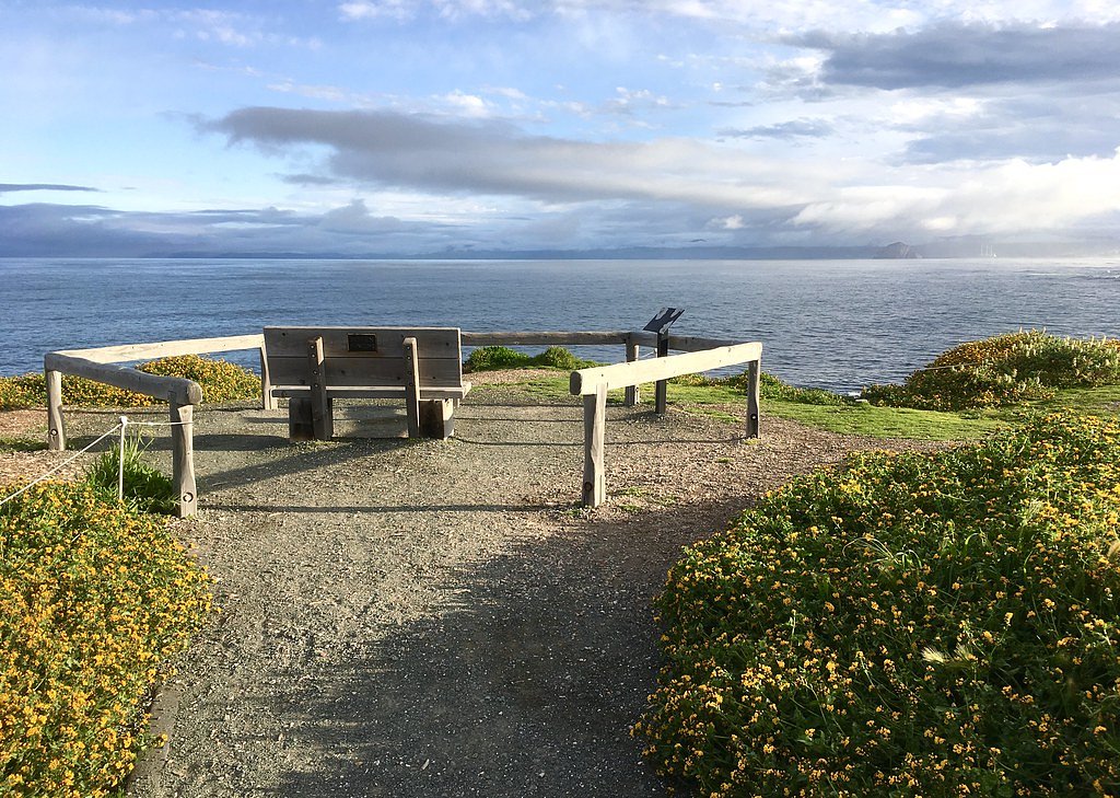
Islay Falls is located within Montaña de Oro State Park. To reach the falls, visitors typically start at the Islay Creek Trailhead, which is accessible from the main park road. Follow the Islay Creek Trail to reach the waterfall.
Get Directions on Google MapsParking
Parking is available at the Islay Creek Trailhead within Montaña de Oro State Park. Parking is free, but spaces may be limited during peak times.
Elevation
171 feet above sea level
Coordinates
35.270531° N, -120.864624° W
Land Management
Managed by SPR
Visitor Tips & Gear
Visit during the spring months for the best chance to see the waterfall flowing. Wear sturdy shoes as the trail may have muddy sections after rain. Bring water and snacks, as there are no facilities along the trail.
As an Amazon Associate, we earn from qualifying purchases.
With 5.0 miles and 300 ft of elevation gain, sturdy boots and trekking poles will help on this moderate trail. Sun exposure on the trail makes good sun protection a must in summer.

Polarized Sunglasses (Knockaround)
Cuts glare off the water so you actually see the falls — and your photos turn out better too.

Columbia Watertight II Rain Jacket
Packs into its own pocket, seam-sealed, and keeps you dry from spray and surprise rain.

Earth Pak Waterproof Dry Bag
Keeps your phone and gear dry when waterfall mist soaks everything else.

Waterproof Phone Pouch (AiRunTech)
Cheap insurance — take photos right next to the falls without killing your phone.

Timberland Euro Sprint Mid Waterproof
Trusted waterproof boot with premium leather and grippy rubber sole — reliable on rocky, wet trails.

TrailBuddy Trekking Poles
Lightweight aluminum, cork grips, and flip-locks that actually hold — a best-seller for good reason.
Where to Stay

Harbor House Inn

Beach Bungalow Inn and Suites

Hilton Vacation Club San Luis Bay Avila Beach

Blufftop Inn & Suites - Wharf/Restaurant District
Browse vacation cabins and private rentals nearby
Unique outdoor stays — tents, yurts, and treehouses
Rent a campervan or RV for your waterfall road trip
Some links are affiliate links. We may earn a commission at no extra cost to you.
Nearby Campground
CERRO ALTO CAMPGROUND
13 miles away · 22 sites
Overview Cerro Alto Campground is a well-known hiking and mountain biking paradise. It is located a short distance from the sandy beaches of Morro Bay, where visitors enjoy surfing, fishing, kayaking, sailing, scuba diving and more. While the campground offers a serene, relaxed environment, both Morro Bay and the nearby town of Atascadero offer numerous dining opportunities, shopping, museums and other activities. Wine Tasting in the Tempelton, Paso Robles Area is also a very popular experience.R
Book on Recreation.govNearby Hot Springs
Hot springs near Los Osos, California
Pecho Warm Springs
Pecho Warm Springs flows at 95 degrees Fahrenheit within Montaña de Oro State Park along the San Luis Obispo County coast, crea...
Newsom Springs
Newsom Springs delivers 99-degree water at just 638 feet elevation in the coastal ranges, creating a remarkable 39-degree tempe...
Santa Ysabel Springs (Sulphur Spr)
Santa Ysabel Springs, also known as Sulphur Springs, delivers 92°F thermal water in the rolling hills east of Paso Robles. The ...
Paso Robles Hot Springs
Paso Robles Hot Springs represents a geothermal system that transformed this San Luis Obispo County town into a spa destination...
Franklin Hot Springs
Franklin Hot Springs sits at 864 feet elevation in San Luis Obispo County's gentle rolling terrain near Paso Robles, positioned...
Unnamed Spring San Luis Obispo County
This 108-degree spring emerges just 19 meters from a paved road in San Luis Obispo County, creating waters that exceed ambient ...
Looking for a soak after your hike? Explore more hot springs near Los Osos, California on SoakingSprings.
Explore California springsAdditional Information
Nearby Attractions
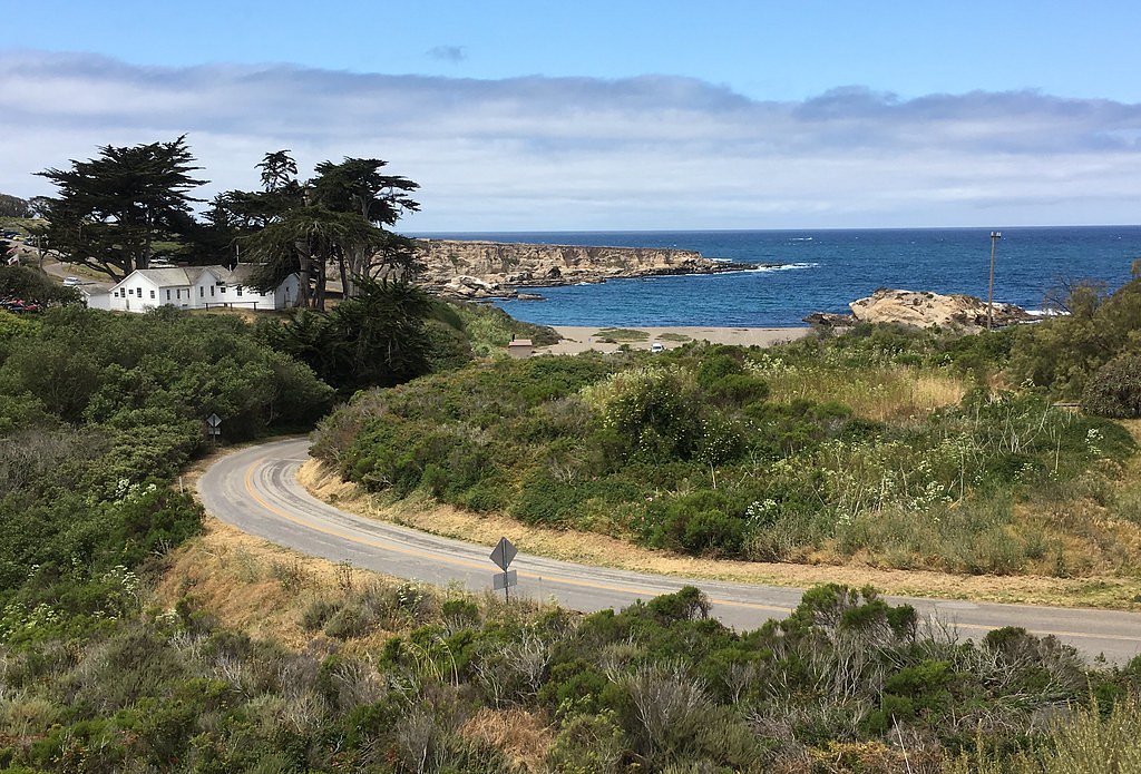
Montaña de Oro State Park offers several other trails, including the Bluff Trail with stunning coastal views. The nearby Spooner's Cove is a popular spot for picnicking and tide pooling.
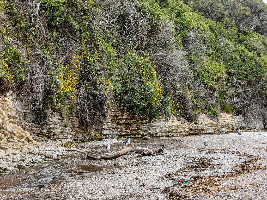
Wildlife
The area is home to a variety of wildlife, including birds, deer, and small mammals. Keep an eye out for native plants and wildflowers, especially in spring.
Cities near Islay Falls
Writing about Islay Falls? Embed this waterfall on your site for free.