Ishi Pishi Falls
By Armen Suny · Last verified May 2026
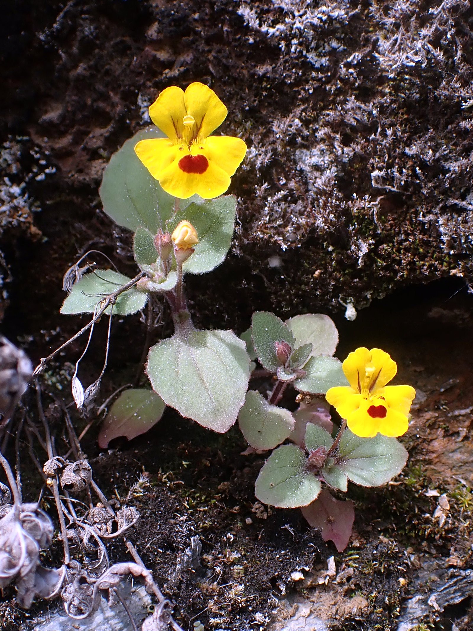

Photo Credits (4)
Difficulty
Moderate
Trail Length
2.4 miles
Trail Type
Out And Back
Elevation Gain
350 ft
About Ishi Pishi Falls
Ishi Pishi Falls is a turbulent series of rapids on the Klamath River rather than a single vertical drop, and has long been recognized for its cultural significance to the Karuk Tribe and its importance to salmon migration. The rapids sit within the Klamath National Forest, managed by the U.S. Forest Service, and are most commonly enjoyed as a dramatic roadside view along Highway 96. For visitors who prefer a brief on-foot approach, the USFS maintains the Blue Hole Trail (Trail #5813), a short spur that provides closer access to the river. Whether you stop at one of the designated pullouts on Highway 96 for a quick look or make a short hike, the setting feels wild and immediate. Camping is nearby at Oak Bottom Campground, roughly 4.07 km away, making Ishi Pishi Falls an easy addition to an overnight trip into the Klamath National Forest. The site appeals to photographers, river-watchers tracking salmon season, and hikers who want a compact but rewarding outing amid classic Northern California river scenery.
The Setting
Ishi Pishi Falls sits at 482 feet within Klamath National Forest, in the coastal lowlands of California.
Trail & Hike Details
The Approach
The moderate hike follows Blue Hole (#5813), a 2.4-mile out-and-back trail over natural surface. Expect 350 feet of elevation gain with grades of +10-12%. The trail is developed (Class 3).
USFS Trail
BLUE HOLE #5813
Trail Class
Developed
Surface
Avg Grade
USFS Segment
0.07 miTrail Description
Access options range from roadside pullouts on Highway 96 to a short USFS spur: Blue Hole Trail (Trail #5813). The USFS classifies Blue Hole as a Class 3 trail with a native-material surface and a typical grade of +10–12%. GIS mapping records the Blue Hole segment at 0.07 miles, reflecting its role as a brief access spur, while local listings note a 2.4-mile out-and-back route with about 350 feet of elevation gain, rated moderate. Trail type: out-and-back. Managed by the U.S. Forest Service in Klamath National Forest; nearby camping at Oak Bottom Campground is approximately 4.07 km from the falls.
What to Expect
Expect to see a powerful section of the Klamath River with turbulent rapids. The area is culturally significant and often used by the Karuk Tribe for traditional fishing practices. Visitors should respect the cultural importance of the site.
Accessibility
The trail is not wheelchair accessible. Uneven terrain and elevation changes require steady footing.
Frequently Asked Questions
🐶 Are Dogs Allowed at Ishi Pishi Falls?
❌ Dogs are not allowed
Are There Any Fees or Permits Required?
🆖 No fees required
🏊 Is There Swimming at Ishi Pishi Falls?
❌ Swimming is not allowed
When to Visit
The falls can be visited year-round, but salmon migration is most active in late summer and early fall, making this an ideal time to visit.
Seasonal Access
The best time to visit is Spring, Summer, Fall, and Winter. Check with Klamath National Forest for seasonal road closures.
Safety Information
Exercise caution when parking along the highway. Do not attempt to enter the water due to strong currents. Respect the cultural significance of the site and avoid disturbing any fishing activities.
Current Water Conditions
377 ft³/s
Current discharge — how much water is flowing
Much lower than usual for this time of year
Based on 102 years of record
1.93 ft
Water depth at gauge
7-Day Discharge Trend
What does this mean for your visit?
Flow is well below normal for this time of year, so the waterfall may be a trickle.
About This Gauge
7-Day Flow Outlook
Based on the USGS gauge SALMON R A SOMES BAR CA (2 km away).
Today
Moderate
407 cfs
5/10Tomorrow
Moderate
378 cfs
8/10Mon
Moderate
342 cfs
8/10Tue
Moderate
329 cfs
8/10Wed
Moderate
313 cfs
8/10Thu
Moderate
305 cfs
8/10Fri
Moderate
285 cfs
8/10Best window: Tomorrow — moderate flow, mostly sunny (trip score 8/10).
Best time of year: this gauge typically runs highest from early March to early June, peaking in May.
How we calculate this
This is a transparent outlook, not a precise forecast. We take the waterfall's current flow strength (how it ranks against its historical normal for today, from the nearest USGS stream gauge), carry that ranking forward along the gauge's seasonal curve, and nudge it for forecast rain. Confidence is highest for the next day or two and falls further out. Always check official conditions and your own judgment before visiting — high flows can be dangerous.
Know when to go.
Get a free email alert when waterfalls near Wautec hit peak flow. We only send when conditions are worth the trip — no weekly newsletters, no spam.
Weather Forecast
Location & Access
Getting There
Ishi Pishi Falls is located near the town of Orleans, California, along Highway 96. The falls are accessible by road, and there are viewpoints along the highway where visitors can observe the rapids.
Get Directions on Google MapsParking
Limited roadside parking is available near the viewpoints along Highway 96.
Elevation
482 feet above sea level
Coordinates
41.381793° N, -123.499781° W
Land Management
Managed by USFS
Visitor Tips & Gear
Bring binoculars for a closer view of the rapids and salmon during migration seasons. Be cautious when parking along the highway, as traffic can be fast-moving.
As an Amazon Associate, we earn from qualifying purchases.
With 2.4 miles and 350 ft of elevation gain, sturdy boots and trekking poles will help on this moderate trail. Icy conditions are common in winter — traction cleats are a smart addition.

Columbia Watertight II Rain Jacket
Packs into its own pocket, seam-sealed, and keeps you dry from spray and surprise rain.

Polarized Sunglasses (Knockaround)
Cuts glare off the water so you actually see the falls — and your photos turn out better too.

Earth Pak Waterproof Dry Bag
Keeps your phone and gear dry when waterfall mist soaks everything else.

Waterproof Phone Pouch (AiRunTech)
Cheap insurance — take photos right next to the falls without killing your phone.

Timberland Euro Sprint Mid Waterproof
Trusted waterproof boot with premium leather and grippy rubber sole — reliable on rocky, wet trails.

TrailBuddy Trekking Poles
Lightweight aluminum, cork grips, and flip-locks that actually hold — a best-seller for good reason.
Where to Stay

Holiday Inn Express Klamath - Redwood Ntl Pk Area by IHG

Elk Meadow Cabins Ranch Site Oreq-B

Viewcrest Retro Country Home

Elk Meadow Cabins 15B Lady Bird - Single Room
Browse vacation cabins and private rentals nearby
Unique outdoor stays — tents, yurts, and treehouses
Rent a campervan or RV for your waterfall road trip
Some links are affiliate links. We may earn a commission at no extra cost to you.
Nearby Campground
OAK BOTTOM CAMPGROUND
2.5 miles away · 25 sites
Overview PLEASE NOTE THIS IS NOT OAK BOTTOM CAMPGROUND AT WHISKEYTOWN LAKE. FOR THAT SITE NEAR REDDING, CALL 530-359-2269This Oak Bottom Campground is on the Salmon River at Somes Bar, CA situated on a gently sloping hillside in the expansive Six Rivers and Klamath National Forests. It offers a peaceful and shaded camping environment, far from highway noise and city distractions. NEW: Each reservable campsite now has its own bear-resistant food storage locker, as do most of the first-come first-s
Book on Recreation.govNearby Hot Springs
Hot springs near Wautec, California
Looking for a soak after your hike? Explore more hot springs near Wautec, California on SoakingSprings.
Explore California springsAdditional Information
Nearby Attractions
Nearby attractions include the Six Rivers National Forest, the town of Orleans, and other scenic spots along the Klamath River.
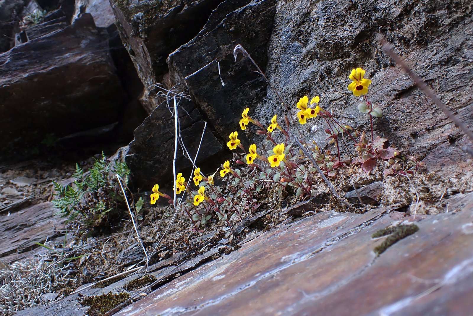
Wildlife
The area is home to salmon, various bird species, and other riverine wildlife. Visitors may also see bald eagles and ospreys.
Cities near Ishi Pishi Falls
Writing about Ishi Pishi Falls? Embed this waterfall on your site for free.