Difficulty
Moderate
Trail Length
2.4 miles
Trail Type
Out And Back
Elevation Gain
350 ft
About Hoʻopōuli Falls
Hoʻopōuli Falls is a quiet, lesser-known waterfall set within the lush tropical surroundings of Halele'a Forest Reserve on the island of Hawaii. Tucked away from heavy visitor traffic, the falls offer a serene spot for hikers who appreciate green, forested canyons and a sense of solitude. The site’s designation as PCON and its private ownership and management (PVT) mean it remains off the beaten path and relatively unadvertised, keeping the setting naturally intact. Because the waterfall sits on privately managed land, visitors should be mindful of access restrictions and posted signs; seeking permission before entering private property is recommended. The approach to the falls is rewarding for hikers who prefer quieter trails: the route is an out-and-back approximately 2.4 miles with about 350 feet of elevation gain and is generally rated moderate — a pleasant half-day outing for those prepared for uneven forest terrain.
The Setting
Hoʻopōuli Falls sits at 614 feet within Halele'a Forest Reserve, fed by the Hanalei River, in the foothills of Hawaii.
Trail & Hike Details
The Approach
The moderate 2.4-mile out-and-back trail gains 350 feet of elevation on the way to the falls.
Trail Description
This is an out-and-back route of roughly 2.4 miles with approximately 350 feet of cumulative elevation gain, rated moderate. No USFS trail name/number or official surface, grade, and trail class data are available for this route. The trail traverses forested reserve land managed privately (Halele'a Forest Reserve; owner/manager: PVT) and may include unmarked sections and variable footing. Hikers should come prepared with good navigation (map, GPS, or local guidance), sturdy shoes, and water. Because the land is privately managed and designated PCON, check for access permissions or posted closures before visiting and respect any boundary signage encountered along the route.
What to Expect
Visitors can expect a secluded and tranquil environment with dense tropical foliage. The waterfall may be seasonal or dependent on recent rainfall.
Accessibility
The trail is not wheelchair accessible. Uneven terrain and elevation changes require steady footing.
Frequently Asked Questions
🐶 Are Dogs Allowed at Hoʻopōuli Falls?
❌ Dogs are not allowed
Are There Any Fees or Permits Required?
🆖 No fees required
🏊 Is There Swimming at Hoʻopōuli Falls?
❌ Swimming is not allowed
When to Visit
The waterfall may be most impressive after recent rainfall, but visitors should exercise caution during wet conditions as trails may become slippery or hazardous.
Seasonal Access
The best time to visit is Spring, Summer, Fall, and Winter. Heavy rains during wet season (November through March) bring higher flow but can make trails slippery.
Safety Information
Visitors should be cautious of slippery rocks, flash flooding, and unmarked trails. Always check weather conditions before visiting.
Current Water Conditions
101 ft³/s
Current discharge — how much water is flowing
About average for this time of year
Based on 30 years of record
-0.43 ft
Water depth at gauge
7-Day Discharge Trend
What does this mean for your visit?
Flow is about average for this time of year.
About This Gauge
7-Day Flow Outlook
Based on the USGS gauge Hanalei River nr Hanalei, Kauai, HI (4 km away).
Today
Barely Flowing
101 cfs
5/10Tomorrow
Barely Flowing
129 cfs
3/10Tue
Low
128 cfs
4/10Wed
Low
106 cfs
4/10Thu
Low
119 cfs
4/10Fri
Low
136 cfs
4/10Sat
Low
124 cfs
4/10Best window: Today — barely flowing flow, sunny (trip score 5/10).
Best time of year: this gauge typically runs highest from late March to late April, peaking in December.
How we calculate this
This is a transparent outlook, not a precise forecast. We take the waterfall's current flow strength (how it ranks against its historical normal for today, from the nearest USGS stream gauge), carry that ranking forward along the gauge's seasonal curve, and nudge it for forecast rain. Confidence is highest for the next day or two and falls further out. Always check official conditions and your own judgment before visiting — high flows can be dangerous.
Know when to go.
Get a free email alert when waterfalls near Kalihiwai hit peak flow. We only send when conditions are worth the trip — no weekly newsletters, no spam.
Weather Forecast
Location & Access
Getting There
Specific directions to Hoʻopōuli Falls are not widely documented. Visitors are advised to consult local guides or reliable resources for access details.
Get Directions on Google MapsParking
Parking availability is unclear. Visitors should prepare for limited or no designated parking near the site.
Elevation
614 feet above sea level
Coordinates
22.148963° N, -159.446870° W
Land Management
Managed by PVT
Visitor Tips & Gear
It is recommended to visit with a local guide or someone familiar with the area. Bring appropriate footwear, water, and supplies for a potentially rugged hike.
As an Amazon Associate, we earn from qualifying purchases.
With 2.4 miles and 350 ft of elevation gain, sturdy boots and trekking poles will help on this moderate trail. Icy conditions are common in winter — traction cleats are a smart addition.

Columbia Watertight II Rain Jacket
Packs into its own pocket, seam-sealed, and keeps you dry from spray and surprise rain.

Earth Pak Waterproof Dry Bag
Keeps your phone and gear dry when waterfall mist soaks everything else.

Waterproof Phone Pouch (AiRunTech)
Cheap insurance — take photos right next to the falls without killing your phone.

Timberland Euro Sprint Mid Waterproof
Trusted waterproof boot with premium leather and grippy rubber sole — reliable on rocky, wet trails.

TrailBuddy Trekking Poles
Lightweight aluminum, cork grips, and flip-locks that actually hold — a best-seller for good reason.

Kahtoola MICROspikes
Cult-favorite traction cleats that grip ice and wet rock — essential for winter waterfall hikes.
Where to Stay

One Bedroom Condo in Pono Kai Resort

Kauai Shores Hotel

THE ISO HOTEL, Trademark Collection by Wyndham

Hanalei Bay Resort
Browse vacation cabins and private rentals nearby
Unique outdoor stays — tents, yurts, and treehouses
Rent a campervan or RV for your waterfall road trip
Some links are affiliate links. We may earn a commission at no extra cost to you.
Additional Information
Nearby Attractions
Nearby attractions may include other waterfalls, hiking trails, and natural landmarks on the island of Hawaii.
Wildlife
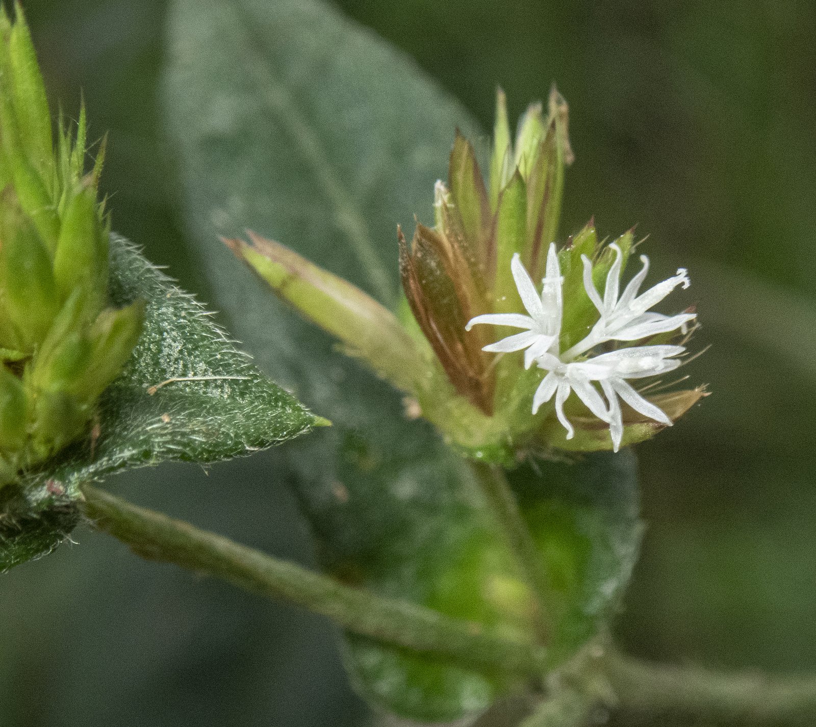
The area may feature native Hawaiian flora and fauna, including birds and tropical plants.
Cities near Hoʻopōuli Falls
Nearby Waterfalls
Writing about Hoʻopōuli Falls? Embed this waterfall on your site for free.