Photo Credits (1)
Difficulty
Moderate
Trail Length
2.0 miles
Trail Type
Out And Back
Elevation Gain
300 ft
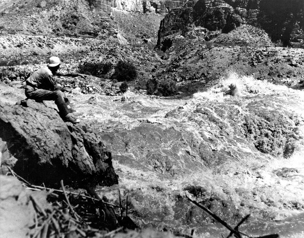
About Hazard Falls
Hazard Falls is a tucked-away cascade on US Forest Service land within Idaho’s Payette National Forest, reached by the HAZARD CREEK Trail (Trail #317). The approach rewards hikers with a peaceful, small-park feel—a lesser-trafficked destination where the forested surroundings and the sound of falling water make for a restorative short outing. Managed by the USFS, the site stays relatively quiet compared with busier attractions, perfect for folks looking for a brief but scenic escape. The most common route to the falls is an out-and-back hike of about 2.0 miles with roughly 300 feet of elevation gain. The USFS lists the HAZARD CREEK Trail #317 as Class 3 on native-material tread, so expect natural surface underfoot and some uneven or rocky sections; sturdy shoes are recommended. For trip planning the nearest developed camping is GROUSE CAMPGROUND, about 16.65 km away, so day hikers should plan accordingly.
The Setting
Hazard Falls sits at 4,806 feet within Payette National Forest, fed by the Little Salmon River, in the mountains of Idaho.
Trail & Hike Details
The Approach
The moderate hike follows Hazard Creek (#317), a 2.0-mile out-and-back trail over natural surface. Expect 300 feet of elevation gain. The trail is developed (Class 3).
USFS Trail
HAZARD CREEK #317
Trail Class
Developed
Surface
USFS Segment
1.78 miTrail Description
HAZARD CREEK (Trail #317) — USFS-managed Payette National Forest. Surface: native material. USFS GIS length: 1.78 miles; typical route listed at about 2.0 miles total (out-and-back). Elevation gain: ~300 ft. Difficulty: moderate. Class: 3. Trail type: out-and-back. Expect natural tread with uneven sections and a moderate climb; suitable for hikers comfortable on non-paved, native-material trails.
What to Expect
Dogs are welcome.
Accessibility
The trail is not wheelchair accessible. Uneven terrain and elevation changes require steady footing.
Frequently Asked Questions
🐶 Are Dogs Allowed at Hazard Falls?
✅ Dogs are allowed
Are There Any Fees or Permits Required?
🆖 No fees required
🏊 Is There Swimming at Hazard Falls?
❌ Swimming is not allowed
When to Visit
Spring and early summer are the best times to visit Hazard Falls, as the water flow is typically strongest during these seasons.
Seasonal Access
The best time to visit is Spring, Summer, and Fall. Winter access may be limited. Check with Payette National Forest for seasonal road closures.
Safety Information
Be cautious of slippery rocks near the waterfall. Watch for changing weather conditions and be prepared for sudden rain or temperature drops. Carry bear spray if hiking in bear country.
Current Water Conditions
647 ft³/s
Current discharge — how much water is flowing
Lower than usual for this time of year
Based on 73 years of record
3.68 ft
Water depth at gauge
7-Day Discharge Trend
What does this mean for your visit?
Flow is lower than usual for this time of year.
About This Gauge
This gauge is on a nearby waterway and may not reflect exact conditions at the falls.
7-Day Flow Outlook
Based on the USGS gauge LITTLE SALMON RIVER AT RIGGINS ID (24 km away).
Today
Roaring
699 cfs
6/10Tomorrow
Roaring
671 cfs
6/10Tue
Roaring
650 cfs
6/10Wed
Roaring
604 cfs
6/10Thu
Roaring
519 cfs
9/10Fri
Roaring
534 cfs
6/10Sat
Roaring
473 cfs
9/10Best window: Thu — roaring flow, mostly sunny (trip score 9/10).
Best time of year: this gauge typically runs highest from early April to early July, peaking in June.
How we calculate this
This is a transparent outlook, not a precise forecast. We take the waterfall's current flow strength (how it ranks against its historical normal for today, from the nearest USGS stream gauge), carry that ranking forward along the gauge's seasonal curve, and nudge it for forecast rain. Confidence is highest for the next day or two and falls further out. Always check official conditions and your own judgment before visiting — high flows can be dangerous.
Know when to go.
Get a free email alert when waterfalls near New Meadows hit peak flow. We only send when conditions are worth the trip — no weekly newsletters, no spam.
Weather Forecast
Location & Access
Getting There
Hazard Falls is located near the Salmon River in Idaho. Access typically involves driving along Highway 95 and then taking local roads to reach the trailhead. Exact directions may vary, so consulting a map or GPS is recommended.
Get Directions on Google MapsParking
Parking is available near the trailhead, but spaces may be limited depending on the season.
Elevation
4,806 feet above sea level
Coordinates
45.203779° N, -116.256514° W
Land Management
Managed by USFS
Visitor Tips & Gear
Start your hike early to avoid crowds and ensure you have enough daylight. Bring plenty of water and snacks, as there are no facilities along the trail. Be prepared for changing weather conditions.
As an Amazon Associate, we earn from qualifying purchases.
With 2.0 miles and 300 ft of elevation gain, sturdy boots and trekking poles will help on this moderate trail. Sun exposure on the trail makes good sun protection a must in summer.

Polarized Sunglasses (Knockaround)
Cuts glare off the water so you actually see the falls — and your photos turn out better too.

Columbia Watertight II Rain Jacket
Packs into its own pocket, seam-sealed, and keeps you dry from spray and surprise rain.

Earth Pak Waterproof Dry Bag
Keeps your phone and gear dry when waterfall mist soaks everything else.

Waterproof Phone Pouch (AiRunTech)
Cheap insurance — take photos right next to the falls without killing your phone.

Timberland Euro Sprint Mid Waterproof
Trusted waterproof boot with premium leather and grippy rubber sole — reliable on rocky, wet trails.

TrailBuddy Trekking Poles
Lightweight aluminum, cork grips, and flip-locks that actually hold — a best-seller for good reason.
Where to Stay

Community at Riggins Hot Springs

Cabin on Little Salmon River about 10 Mi to Riggins!

Woodland Chalet Near Brundage Mountain

Camas Family Cabin
Browse vacation cabins and private rentals nearby
Unique outdoor stays — tents, yurts, and treehouses
Rent a campervan or RV for your waterfall road trip
Some links are affiliate links. We may earn a commission at no extra cost to you.
Nearby Campground
GROUSE CAMPGROUND
10.3 miles away · 23 sites
Overview Grouse Campground is located just 16 miles from McCall, Idaho, on the shores of Goose Lake. Visitors enjoy canoeing, fishing and horseback riding. Once on-site, you may be able to pay for your campsite(s) by scanning a QR code using the Recreation.gov mobile app, and the Scan and Pay feature. If this option is available, you will need to first download the free Recreation.gov mobile app https://www.recreation.gov/mobile-app prior to your arrival as some remote areas have limited or no ce
Book on Recreation.govNearby Hot Springs
Hot springs near New Meadows, Idaho

Boulder Creek Spring
Boulder Creek Spring delivers 82-degree Fahrenheit water just 52 feet from Boulder Creek Road near McCall, with an exceptionall...
Stinky Warm Spring
Stinky Warm Spring earns its name from hydrogen sulfide gas that gives the 88-degree water a distinct rotten-egg smell, a commo...
Zims Resort Hot Springs
Zims Resort Hot Springs delivers 144°F water virtually at roadside, sitting just 17 feet from Zims Road in Valley County, Idaho...
Krigbaum Hot Springs
Krigbaum Hot Springs emerges at 109 degrees Fahrenheit along the Goose Creek drainage in the Payette National Forest, offering ...

Riggins Hot Springs
Riggins Hot Springs flows at 106 degrees Fahrenheit at just 1,899 feet elevation in Valley County, one of the lowest-elevation ...

Burgdorf Hot Springs
Burgdorf Hot Springs holds a storied place among Idaho soakers, sitting at 6,150 feet elevation in Valley County near McCall wh...
Looking for a soak after your hike? Explore more hot springs near New Meadows, Idaho on SoakingSprings.
Explore Idaho springsAdditional Information
Nearby Attractions
The Salmon River offers opportunities for fishing, rafting, and other outdoor activities. Nearby towns like Riggins provide dining and lodging options.
Wildlife
The area is home to a variety of wildlife, including deer, birds, and occasionally bears. Be cautious and follow wildlife safety guidelines.
Cities near Hazard Falls
Writing about Hazard Falls? Embed this waterfall on your site for free.