
Photo Credits (3)
Difficulty
Easy
Trail Length
1.0 miles
Trail Type
Out And Back
About Hamilton Falls
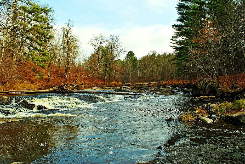
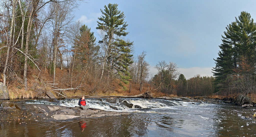
Hamilton Falls is a peaceful, scenic cascade tucked into Wisconsin’s Driftless Area, where a small creek spills over exposed rock formations to create a photogenic ribbon of water. The falls sit on county-owned land within the Eau Claire County Forest and are managed by Eau Claire County as a Local Conservation Area (LCA), so the setting feels intentionally protected and quietly wild rather than developed. Access to the falls is a short outing that rewards a modest effort: the established route through mixed forest delivers seasonal color, birdlife and a close-up view of the waterfall’s layered rocks. Managed as part of the Eau Claire County Forest, the site makes for a pleasant half-day visit — plan for a moderate hike with a noticeable uphill return and bring footwear suitable for uneven forest trails.
The Setting
Hamilton Falls sits at 971 feet within Eau Claire County Forest, in the foothills of Wisconsin.
Trail & Hike Details
Trail Description
This is an out-and-back route of approximately 2.4 miles total with about 350 feet of elevation gain and an overall difficulty rating of moderate. The trail follows forested county-forest paths to the falls; specific surface type, grade and formal trail class are not specified in the provided land-manager data. Expect natural tread through woods with some climbing on the return leg and route-finding markers typical of county-managed recreation areas.
What to Expect
Dogs are welcome.
Accessibility
The trail is not wheelchair accessible. Uneven terrain and elevation changes require steady footing.
Frequently Asked Questions
🐶 Are Dogs Allowed at Hamilton Falls?
✅ Dogs are allowed
Are There Any Fees or Permits Required?
🤑 Fee: $5.00
🏊 Is There Swimming at Hamilton Falls?
❌ Swimming is not allowed
When to Visit
Spring and early summer are the best times to visit, as the waterfall flow is typically strongest due to snowmelt and rainfall. Fall offers beautiful foliage, while summer provides warm weather for outdoor activities.
Seasonal Access
The best time to visit is Spring, Summer, and Fall. Winter access may be limited.
Safety Information
Exercise caution near the waterfall, as rocks can be slippery. Be aware of ticks and other insects in the area. Check weather conditions before visiting, as heavy rain may make trails muddy or inaccessible.
Know when to go.
Get a free email alert when waterfalls near Stanley hit peak flow. We only send when conditions are worth the trip — no weekly newsletters, no spam.
Weather Forecast
The Terrain, Seen by LiDAR
Aircraft-mounted lasers measured this ground to within inches. Trees and buildings are digitally stripped away, leaving the bare shape of the land the water has carved.
Here the descent is spread out: 1-meter lidar measures about 32 feet of drop through Hamilton Falls, stretched along the creek rather than stacked in one wall. The brink sits at about 967 feet above sea level.
The ground changes about 33 feet in the 500 feet above the falls and 18 feet in the 500 feet below. The falls face southeast and sit in full sun for most of the day, best photographed early or late.
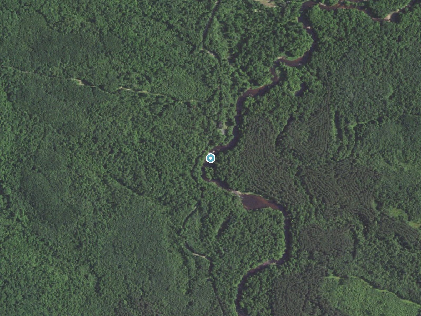
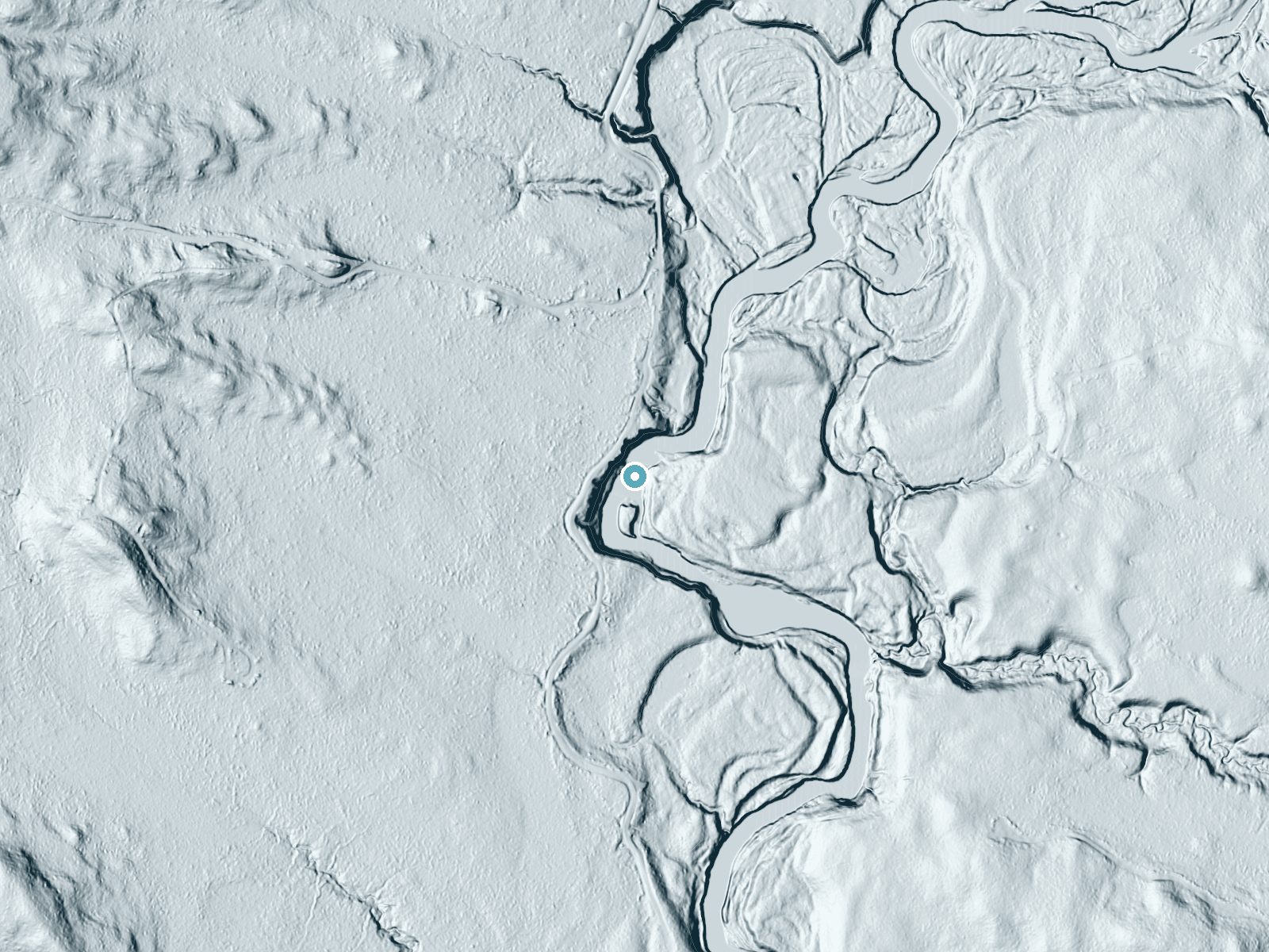
Drag to compare. The dot marks the waterfall. The frame is about a mile across.
- Ground elevation
- 967 feet
- Measured by 1-meter lidar
- Drop at the falls
- About 32 feet
- Change in ground height within ~250 feet of the falls
- Faces
- Southeast
- Sunlit most of the day. Go early or late for softer light.
A slice through the lidar ground surface, from above the falls to downstream (heading southeast).
Elevation data: USGS 3D Elevation Program. Aerial imagery: USGS The National Map. Public domain.
Location & Access
Getting There
Hamilton Falls is located near the town of Ontario, Wisconsin, within the Kickapoo Valley Reserve. Visitors can access the falls via local roads, with signage directing to the reserve.
Get Directions on Google MapsParking
Parking is available at designated areas within the Kickapoo Valley Reserve. Visitors should follow posted signs to ensure they park in appropriate locations.
Elevation
971 feet above sea level
Coordinates
44.796350° N, -90.962370° W
Land Management
Managed by CNTY
Visitor Tips & Gear
Wear sturdy shoes as the trail may be muddy after rain. Bring insect repellent during warmer months to protect against mosquitoes. Arrive early during peak seasons to secure parking and enjoy a quieter experience.
Where to Stay

FairBridge Inn & Suites Thorp

Super 8 by Wyndham Osseo WI

Smartwood Inn

AmeriVu Inn And Suites
Browse vacation cabins and private rentals nearby
Unique outdoor stays — tents, yurts, and treehouses
Rent a campervan or RV for your waterfall road trip
Some links are affiliate links. We may earn a commission at no extra cost to you.
Additional Information
Nearby Attractions
The Kickapoo Valley Reserve offers additional hiking trails, canoeing opportunities on the Kickapoo River, and educational exhibits at the Visitor Center.
Wildlife
The area is home to a variety of wildlife, including deer, turkeys, and numerous bird species. Visitors may also encounter small mammals and amphibians near the creek.
Cities near Hamilton Falls
Other waterfalls named Hamilton Falls
2 other waterfalls share this name across the U.S.
Writing about Hamilton Falls? Embed this waterfall on your site for free.