Gros Ventre Falls
Montana • Glacier National Park
By Armen Suny · Last verified Mar 2026
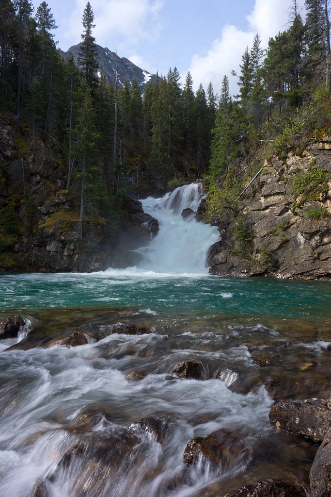
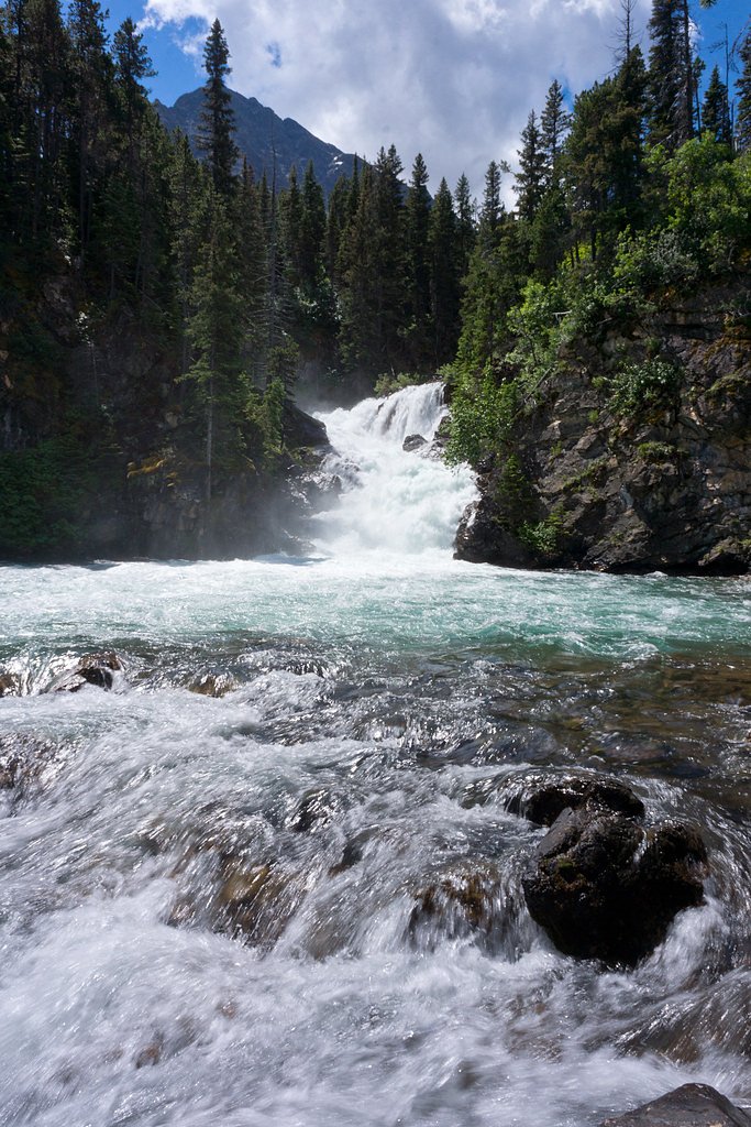
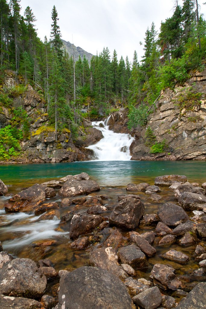
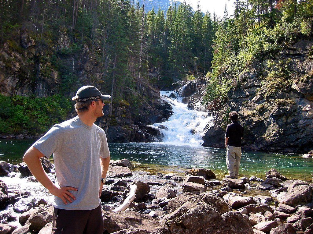
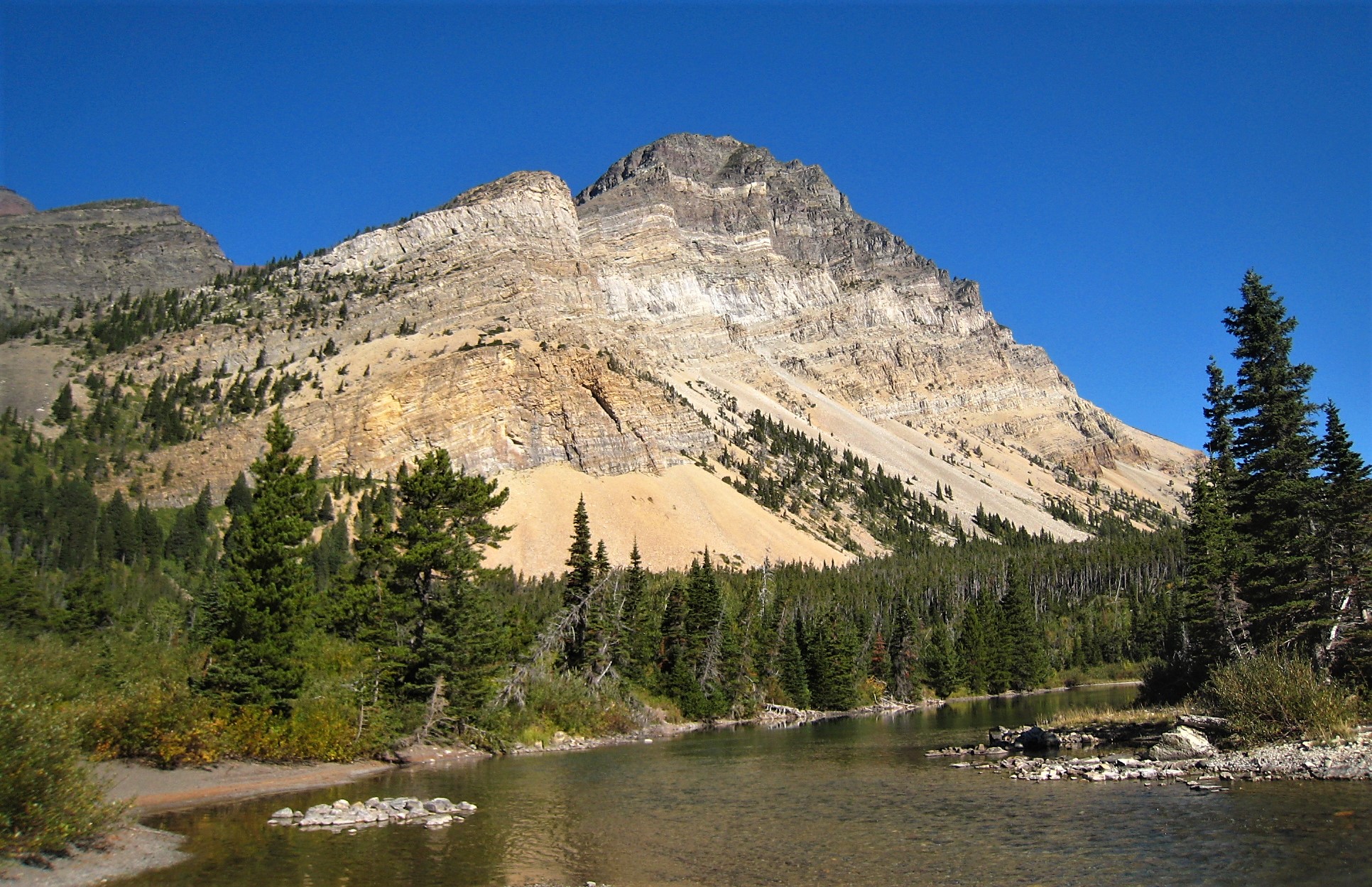
Photo Credits (5)
Difficulty
Moderate
Trail Length
2.4 miles
Trail Type
Out And Back
Elevation Gain
350 ft
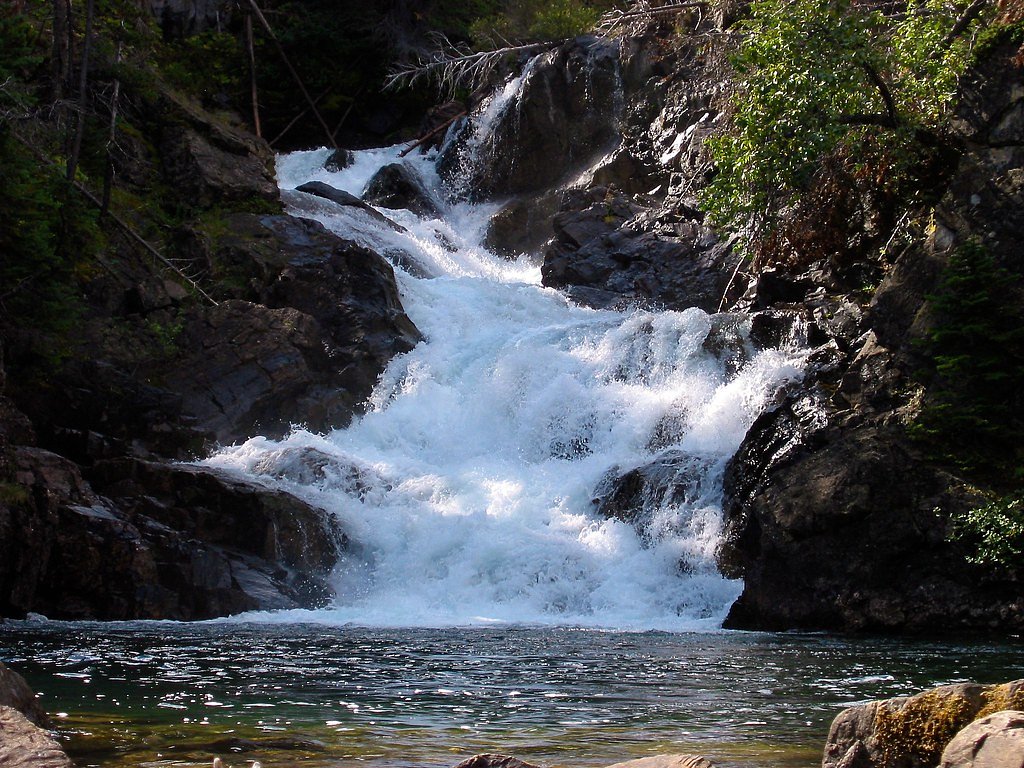
About Gros Ventre Falls
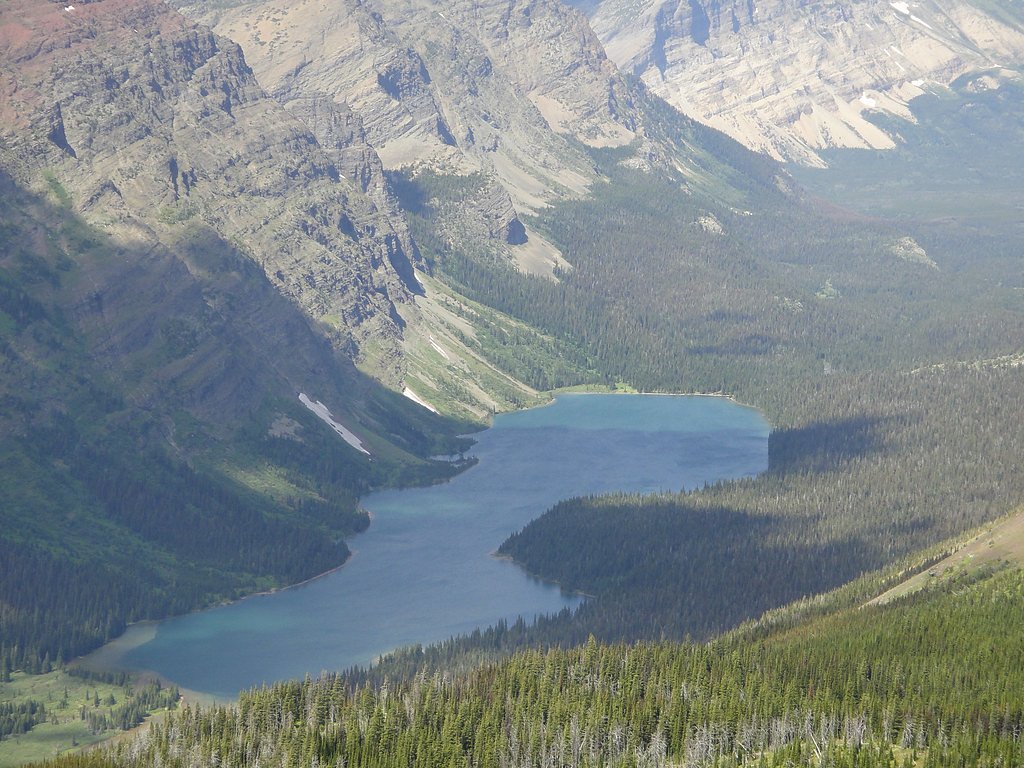
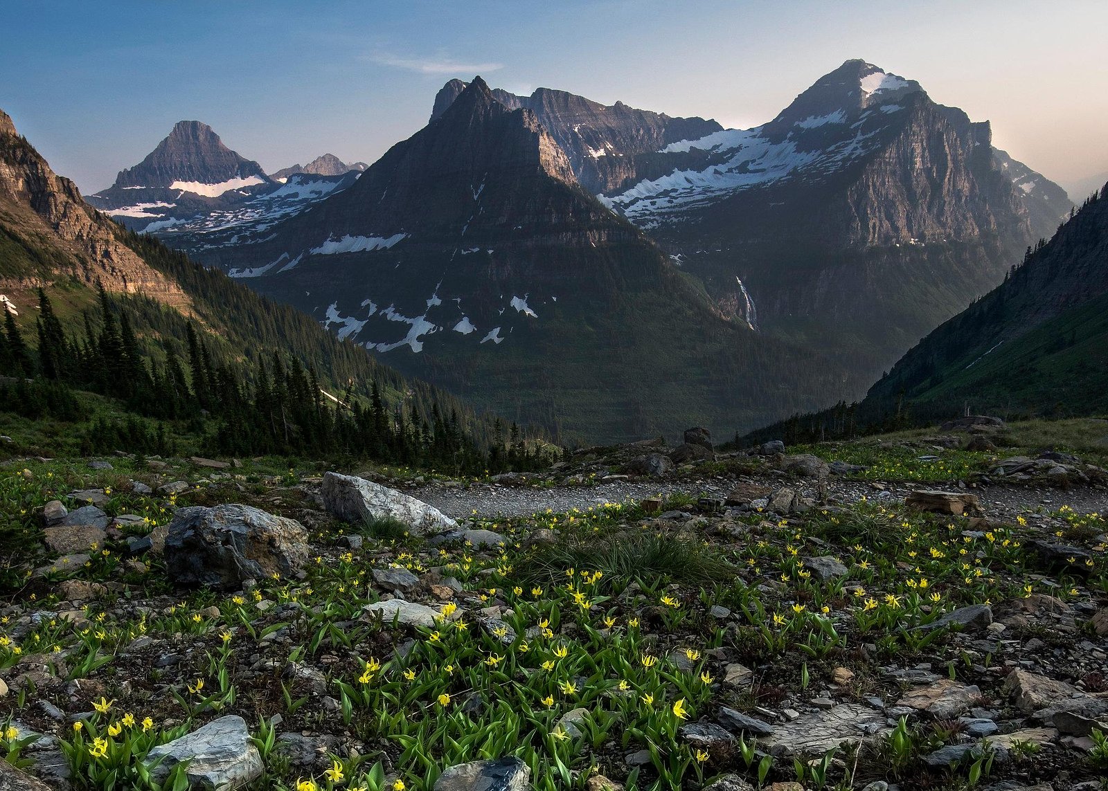
Gros Ventre Falls is a scenic, lesser-known waterfall tucked within Glacier National Park and managed by the National Park Service. The setting is quietly beautiful—wooded approach and the sound of falling water make it an inviting spot for hikers who prefer a peaceful outing away from the park’s busiest corridors. The route to the falls is a moderate, out-and-back outing that suits day-hikers comfortable with some uphill. Before heading out, check current trail conditions and park alerts with Glacier National Park (NPS) to confirm access and any seasonal advisories.
The Setting
Gros Ventre Falls sits at 4,780 feet within Glacier National Park, fed by the Swiftcurrent Creek, in the mountains of Montana.
Trail & Hike Details
The Approach
The moderate 2.4-mile out-and-back trail gains 350 feet of elevation on the way to the falls.
Trail Description
Out-and-back trail, 2.4 miles total with approximately 350 feet of elevation gain; difficulty: moderate. The provided park data does not specify surface type, grade percentages, or formal trail class, so hikers should plan for typical mountain trail conditions and bring sturdy footwear, water, and layers. Managed by Glacier National Park (NPS); check park resources for parking, signage, and any trail updates before your trip.
What to Expect
Visitors can expect a tranquil natural setting with the sound of cascading water. The area may be surrounded by forested landscapes and wildlife.
Accessibility
The trail is not wheelchair accessible. Uneven terrain and elevation changes require steady footing.
Frequently Asked Questions
🐶 Are Dogs Allowed at Gros Ventre Falls?
❌ Dogs are not allowed
Are There Any Fees or Permits Required?
🆖 No fees required
🏊 Is There Swimming at Gros Ventre Falls?
❌ Swimming is not allowed
When to Visit
Spring and summer are typically the best times to visit, as water flow is likely to be higher and the weather more favorable.
Seasonal Access
The best time to visit is Spring, Summer, and Fall. Winter access may be limited. Check with Glacier National Park for current conditions.
Safety Information
Trail conditions may vary, and the area may have uneven or slippery terrain. Visitors should exercise caution and be prepared for changing weather conditions.
Current Water Conditions
1,300 ft³/s
Current discharge — how much water is flowing
Much higher than usual for this time of year
Based on 114 years of record
4.50 ft
Water depth at gauge
7-Day Discharge Trend
What does this mean for your visit?
The water is flowing much higher than usual, expect an impressive display.
About This Gauge
This gauge is on a nearby waterway and may not reflect exact conditions at the falls.
7-Day Flow Outlook
Based on the USGS gauge Swiftcurrent Creek at Many Glacier MT (16 km away).
Today
Roaring
1562 cfs
6/10Tomorrow
Roaring
1438 cfs
9/10Thu
Strong
1279 cfs
10/10Fri
Strong
1234 cfs
10/10Sat
Strong
1204 cfs
10/10Sun
Strong
1211 cfs
10/10Mon
Strong
1128 cfs
10/10Best window: Thu — strong flow, sunny (trip score 10/10).
Best time of year: this gauge typically runs highest from late April to late July, peaking in June.
How we calculate this
This is a transparent outlook, not a precise forecast. We take the waterfall's current flow strength (how it ranks against its historical normal for today, from the nearest USGS stream gauge), carry that ranking forward along the gauge's seasonal curve, and nudge it for forecast rain. Confidence is highest for the next day or two and falls further out. Always check official conditions and your own judgment before visiting — high flows can be dangerous.
Know when to go.
Get a free email alert when waterfalls near Babb hit peak flow. We only send when conditions are worth the trip — no weekly newsletters, no spam.
Weather Forecast
Location & Access
Getting There
Specific directions to Gros Ventre Falls are not well-documented. Visitors are advised to consult local maps or guides for accurate navigation.
Get Directions on Google MapsParking
Parking availability is unclear, but visitors may need to park along nearby roads or designated areas if available.
Elevation
4,780 feet above sea level
Coordinates
48.930173° N, -113.740736° W
Land Management
Managed by NPS
Visitor Tips & Gear
Bring a map or GPS device as the location may not be well-marked. Wear sturdy footwear and prepare for uneven terrain.
As an Amazon Associate, we earn from qualifying purchases.
With 2.4 miles and 350 ft of elevation gain, sturdy boots and trekking poles will help on this moderate trail. Sun exposure on the trail makes good sun protection a must in summer.
America the Beautiful Annual Pass
Covers entrance fees at 2,000+ federal recreation sites — required at most National Parks.

Polarized Sunglasses (Knockaround)
Cuts glare off the water so you actually see the falls — and your photos turn out better too.

Columbia Watertight II Rain Jacket
Packs into its own pocket, seam-sealed, and keeps you dry from spray and surprise rain.

Earth Pak Waterproof Dry Bag
Keeps your phone and gear dry when waterfall mist soaks everything else.

Waterproof Phone Pouch (AiRunTech)
Cheap insurance — take photos right next to the falls without killing your phone.

Timberland Euro Sprint Mid Waterproof
Trusted waterproof boot with premium leather and grippy rubber sole — reliable on rocky, wet trails.

TrailBuddy Trekking Poles
Lightweight aluminum, cork grips, and flip-locks that actually hold — a best-seller for good reason.
Where to Stay

Aspen Village

Waterton Lakes Lodge Resort

St. Mary Village

Prince of Wales Hotel
Browse vacation cabins and private rentals nearby
Unique outdoor stays — tents, yurts, and treehouses
Rent a campervan or RV for your waterfall road trip
Some links are affiliate links. We may earn a commission at no extra cost to you.
Nearby Campground
MANY GLACIER CAMPGROUND
9.7 miles away · 110 sites
Overview The Many Glacier Campground is located on the east side of Glacier National Park, at an elevation of approximately 4,500 feet. The campground is located about 22 miles from the town of St. Mary and the east entrance to Glacier National Park. Babb, Montana, is the closest community to the Many Glacier Campground and is located approximately 12 miles east of the campground. Babb has a general store, gas station, several restaurants and an U.S. Post Office. Cell phone coverage is not availa
Book on Recreation.govAdditional Information
Nearby Attractions
Nearby attractions are not well-documented, but the surrounding area may offer additional hiking trails and scenic views.
Wildlife
The area may be home to various wildlife, including birds, deer, and small mammals. Visitors should be cautious and respectful of wildlife.
Cities near Gros Ventre Falls
Nearby Waterfalls


Writing about Gros Ventre Falls? Embed this waterfall on your site for free.