Photo Credits (4)
Difficulty
Easy
Trail Length
1.5 miles
Trail Type
Out And Back
Elevation Gain
100 ft
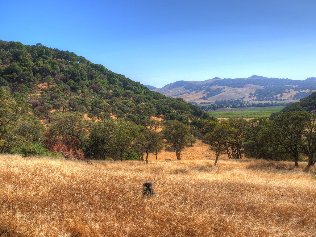
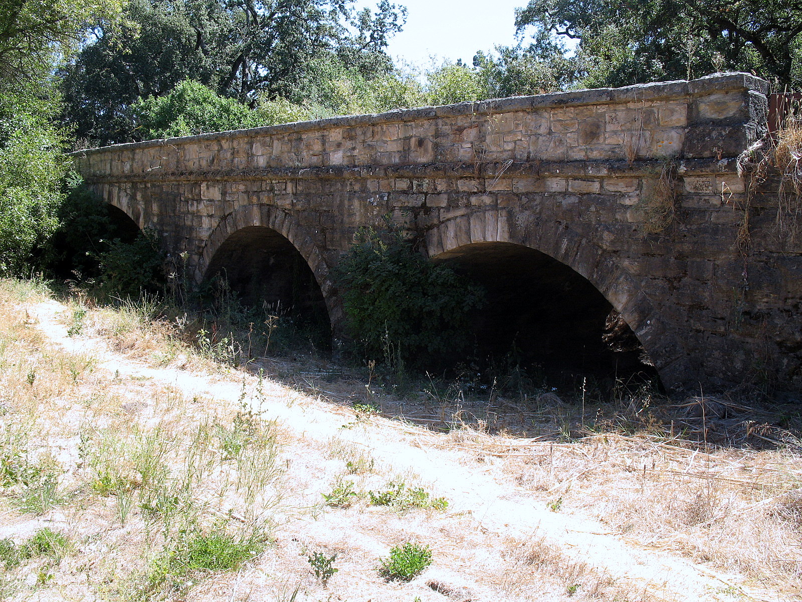
About Green Valley Falls
Green Valley Falls is a picturesque California waterfall of cascading tiers and tucked pools, offering a rewarding short outing for hikers and nature lovers. The site sits on city-owned land within the Vallejo Lakes land unit (designation LOTH) and is managed by the City, which helps preserve its intimate, community-park character. The hike to the falls is short and approachable: a 1.5-mile out-and-back route with roughly 100 feet of elevation gain that makes this a great option for families and casual hikers. The trail follows a well-defined path through shaded oak and pine, opening onto the cascades and pool areas; there is no campground within 10 km, with the nearest day-use area (Oak Shores Day Use Area, CA) about 31.84 km away, so plan overnight stays accordingly.
The Setting
Green Valley Falls sits at 459 feet within Vallejo Lakes, in the coastal lowlands of California.
Trail & Hike Details
The Approach
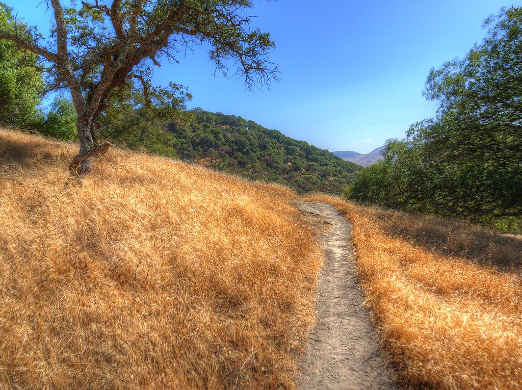
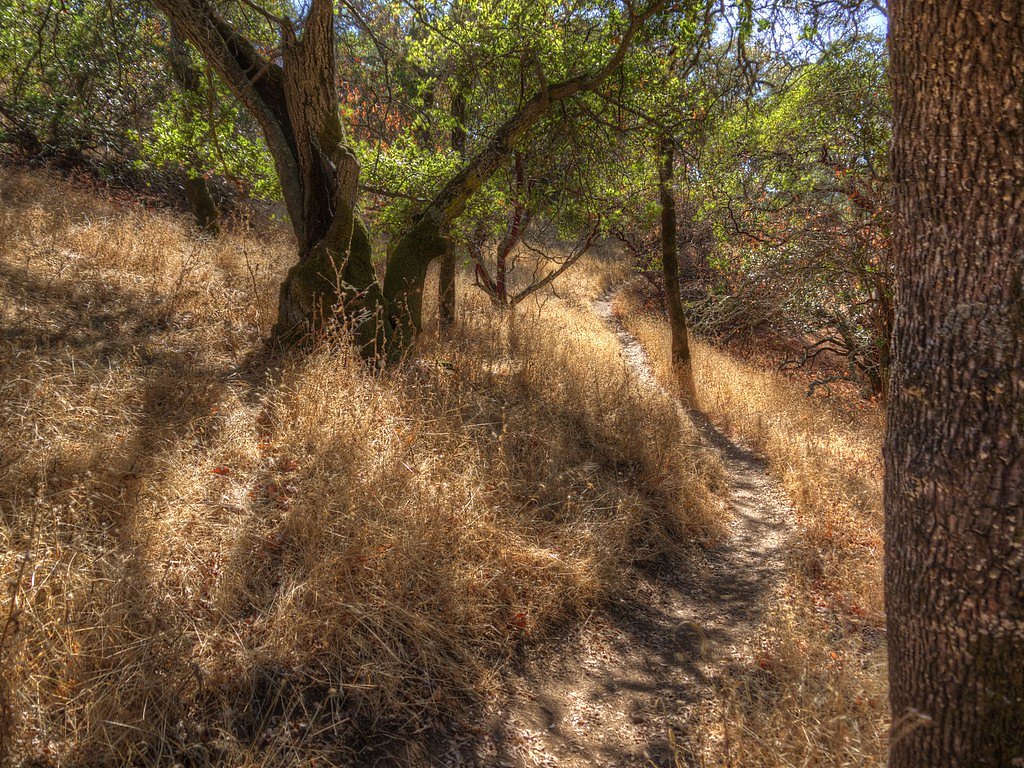
The easy 1.5-mile out-and-back trail gains 100 feet of elevation on the way to the falls.
Trail Description
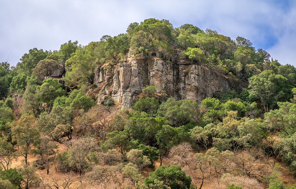
This is an easy 1.5-mile out-and-back trail with approximately 100 feet of cumulative elevation gain. The route is a well-maintained, mostly level footpath that passes through oak- and pine-dominated woodlands and requires no technical scrambling—suitable for most hikers and families. No USFS trail number or surface/grade data is provided; expect a natural dirt trail with modest grade changes and clear signage to the falls.
What to Expect
Swimming is permitted. Dogs are welcome.
Accessibility
The trail is not wheelchair accessible. Uneven terrain and elevation changes require steady footing.
Frequently Asked Questions
🐶 Are Dogs Allowed at Green Valley Falls?
✅ Dogs are allowed
Are There Any Fees or Permits Required?
🤑 Fee: $10.00
🏊 Is There Swimming at Green Valley Falls?
✅ Swimming is allowed
When to Visit
The best time to visit Green Valley Falls is in the spring or early summer when the water flow is strongest. Fall can also be a pleasant time to visit due to cooler temperatures.
Seasonal Access
The best time to visit is Spring, Summer, and Fall. Winter access may be limited.
Safety Information
Be cautious near the water, as rocks can be slippery. Check weather conditions before visiting, as heavy rain can make trails hazardous. Watch for wildlife, including snakes.
Current Water Conditions
8 ft³/s
Current discharge — how much water is flowing
About average for this time of year
Based on 66 years of record
2.46 ft
Water depth at gauge
7-Day Discharge Trend
What does this mean for your visit?
Flow is about average for this time of year.
About This Gauge
This gauge is on a nearby waterway and may not reflect exact conditions at the falls.
7-Day Flow Outlook
Based on the USGS gauge NAPA R NR NAPA CA (15 km away).
Today
Low
8 cfs
6/10Tomorrow
Low
7 cfs
6/10Mon
Low
8 cfs
6/10Tue
Low
7 cfs
6/10Wed
Low
7 cfs
6/10Thu
Low
7 cfs
6/10Fri
Low
7 cfs
6/10Best window: Today — low flow, sunny (trip score 6/10).
Best time of year: this gauge typically runs highest from mid January to early April, peaking in February.
How we calculate this
This is a transparent outlook, not a precise forecast. We take the waterfall's current flow strength (how it ranks against its historical normal for today, from the nearest USGS stream gauge), carry that ranking forward along the gauge's seasonal curve, and nudge it for forecast rain. Confidence is highest for the next day or two and falls further out. Always check official conditions and your own judgment before visiting — high flows can be dangerous.
Know when to go.
Get a free email alert when waterfalls near Green Valley hit peak flow. We only send when conditions are worth the trip — no weekly newsletters, no spam.
Weather Forecast
Location & Access
Getting There
Green Valley Falls is located within Cuyamaca Rancho State Park, approximately 50 miles east of San Diego. The falls can be accessed via the Green Valley Campground, which is off State Route 79.
Get Directions on Google MapsParking
Parking is available at the Green Valley Campground. A day-use fee may be required for parking.
Elevation
459 feet above sea level
Coordinates
38.276859° N, -122.180526° W
Land Management
Managed by CITY
Visitor Tips & Gear
Arrive early during weekends or holidays to secure parking, as the area can get crowded. Bring water and wear sturdy shoes, as the trail may have uneven sections. Check water levels before visiting, as the falls may dry up during late summer or fall.
As an Amazon Associate, we earn from qualifying purchases.
This easy 1.5 miles hike is straightforward — comfortable trail shoes and plenty of water should do. Sun exposure on the trail makes good sun protection a must in summer.

Polarized Sunglasses (Knockaround)
Cuts glare off the water so you actually see the falls — and your photos turn out better too.

Columbia Watertight II Rain Jacket
Packs into its own pocket, seam-sealed, and keeps you dry from spray and surprise rain.

Earth Pak Waterproof Dry Bag
Keeps your phone and gear dry when waterfall mist soaks everything else.

Waterproof Phone Pouch (AiRunTech)
Cheap insurance — take photos right next to the falls without killing your phone.

JOBY GorillaPod Starter Kit
Wraps around railings and rocks for long-exposure waterfall shots — no flat surface needed.

Osprey Daylite Daypack
Light, organized, and just the right size for a day hike — fits water, snacks, and layers.
Where to Stay

La Quinta by Wyndham Fairfield - Napa Valley

Cedar Gables Inn

RiverPointe Napa Valley Resort

Hampton Inn & Suites - Napa, CA
Browse vacation cabins and private rentals nearby
Unique outdoor stays — tents, yurts, and treehouses
Rent a campervan or RV for your waterfall road trip
Some links are affiliate links. We may earn a commission at no extra cost to you.
Nearby Campground
OAK SHORES DAY USE AREA (CA)
19.8 miles away · 6 sites
Overview Nestled between Blue Ridge and Cedar Roughs east of Napa Valley, Lake Berryessa provides ample public recreation opportunities. Popular activities on and around the large, yet uncrowded lake include fishing, boating, water skiing, wake boarding, jet skiing, sailing, swimming, kayaking, canoeing, wildlife viewing, hiking, biking and picnicking. The Dufer Point Visitor Center offers year-round interpretive events and exhibits highlighting natural and cultural resources. Lake Berryessa is a
Book on Recreation.govNearby Hot Springs
Hot springs near Green Valley, California
Unnamed Spring Napa County
In Napa Valley, this 83-degree thermal spring emerges at 600 feet just 15 meters from Hagen Road, creating water 22 degrees war...
Napa Vichy Springs
Napa Vichy Springs flows at 76°F (24°C) near Napa, California, at just 600 feet elevation with virtually roadside access and ca...
Tolenas Springs
Tolenas Springs emerges at a mild 68°F in Solano County near Fairfield, barely exceeding ambient temperature by 7.9°F, represen...
Vallejo White Sulphur Springs
Vallejo White Sulphur Springs flows at 68 degrees just 104 feet from the nearest road in the San Francisco Bay Area, making it ...
Unnamed Spring Solano County
Near Benicia in Solano County, this 73-degree spring flows at 218 feet, 14 degrees warmer than ambient, just 68.5 meters from L...
Napa Rock Soda Spring, Phillips Sod
Napa Rock Soda Spring (also called Phillips Soda Spring) emerges at 78°F (26°C) in the mountains above Napa Valley with carbona...
Looking for a soak after your hike? Explore more hot springs near Green Valley, California on SoakingSprings.
Explore California springsAdditional Information
Nearby Attractions
Other attractions in Cuyamaca Rancho State Park include Stonewall Peak, Cuyamaca Peak, and Paso Picacho Campground.
Wildlife
The area is home to a variety of wildlife, including deer, birds, and small mammals. Be cautious of rattlesnakes, especially during warmer months.
Cities near Green Valley Falls
Other waterfalls named Green Valley Falls
1 other waterfall shares this name across the U.S.
Writing about Green Valley Falls? Embed this waterfall on your site for free.