Gordons Mill Falls
By Armen Suny · Last verified May 2026
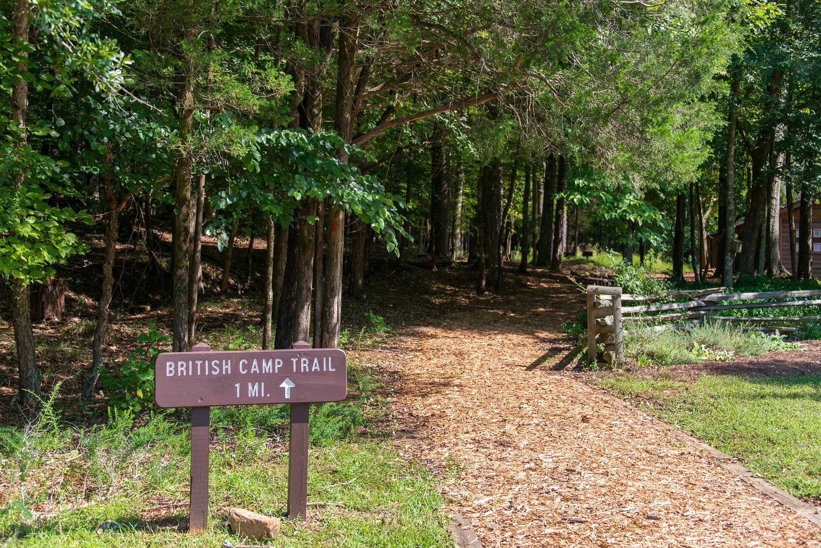
Photo Credits (2)
Difficulty
Moderate
Trail Length
2.4 miles
Trail Type
Out And Back
Elevation Gain
350 ft
About Gordons Mill Falls
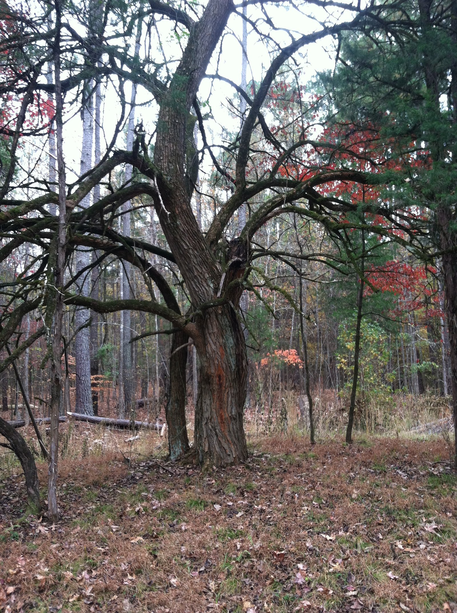
Gordons Mill Falls is a small, picturesque cascade tucked into South Carolina woodlands near the site of an old mill. Framed by lush greenery, the falls offer a quiet, scenic spot that appeals to photographers and hikers looking for a peaceful nature escape. The falls are best reached by a moderately paced hike — the route is roughly a 2.4-mile out-and-back with about 350 feet of elevation gain. The short but engaging trail rewards visitors with the tranquil waterfall at the end; bring sturdy footwear and expect some uneven footing on the approach.
The Setting
Gordons Mill Falls sits at 404 feet along the Fairforest Creek, in the coastal lowlands of South Carolina.
Trail & Hike Details
The Approach
The moderate 2.4-mile out and back trail gains 350 feet of elevation on the way to the falls.
Trail Description
Approximately 2.4 miles out-and-back with about 350 feet of elevation gain; rated moderate. Specific U.S. Forest Service trail name/number and official surface/grade classifications are not well-documented for this route. Hikers should anticipate natural footpaths and uneven terrain—sturdy shoes and basic trail-navigation preparedness are recommended.
What to Expect
Visitors can expect a peaceful, natural setting with a small waterfall surrounded by greenery. The area may have historical remnants of the old mill.
Accessibility
The trail is not wheelchair accessible. Uneven terrain and elevation changes require steady footing.
Frequently Asked Questions
🐶 Are Dogs Allowed at Gordons Mill Falls?
❌ Dogs are not allowed
Are There Any Fees or Permits Required?
🆖 No fees required
🏊 Is There Swimming at Gordons Mill Falls?
❌ Swimming is not allowed
When to Visit
Spring and fall are typically the best times to visit due to pleasant weather and vibrant foliage.
Seasonal Access
The best time to visit is Spring, Summer, Fall, and Winter.
Safety Information
Visitors should be cautious of uneven terrain, slippery rocks, and potential wildlife encounters. Always stay on marked paths if available.
Current Water Conditions
47 ft³/s
Current discharge — how much water is flowing
Lower than usual for this time of year
Based on 31 years of record
2.07 ft
Water depth at gauge
7-Day Discharge Trend
What does this mean for your visit?
Flow is lower than usual for this time of year.
About This Gauge
This gauge is on a nearby waterway and may not reflect exact conditions at the falls.
7-Day Flow Outlook
Based on the USGS gauge FAIRFOREST CREEK NEAR UNION, SC (18 km away).
Today
Moderate
54 cfs
4/10Tomorrow
Moderate
56 cfs
4/10Mon
Moderate
56 cfs
8/10Tue
Low
45 cfs
6/10Wed
Low
56 cfs
6/10Thu
Low
53 cfs
6/10Fri
Low
50 cfs
6/10Best window: Mon — moderate flow, sunny (trip score 8/10).
Best time of year: this gauge typically runs highest from mid February to mid April, peaking in March.
How we calculate this
This is a transparent outlook, not a precise forecast. We take the waterfall's current flow strength (how it ranks against its historical normal for today, from the nearest USGS stream gauge), carry that ranking forward along the gauge's seasonal curve, and nudge it for forecast rain. Confidence is highest for the next day or two and falls further out. Always check official conditions and your own judgment before visiting — high flows can be dangerous.
Know when to go.
Get a free email alert when waterfalls near Cross Anchor hit peak flow. We only send when conditions are worth the trip — no weekly newsletters, no spam.
Weather Forecast
Location & Access
Getting There
The exact location of Gordons Mill Falls is not widely documented, but it is believed to be accessible via local roads in South Carolina. Visitors should consult local maps or guides for precise directions.
Get Directions on Google MapsParking
Parking availability is unclear. Visitors may need to park along nearby roads or at designated areas if available.
Hours
Elevation
404 feet above sea level
Coordinates
34.593462° N, -81.854823° W
Visitor Tips & Gear
Check local resources or contact nearby visitor centers for updated information on access and conditions. Bring water and wear sturdy shoes.
As an Amazon Associate, we earn from qualifying purchases.
With 2.4 miles and 350 ft of elevation gain, sturdy boots and trekking poles will help on this moderate trail. Icy conditions are common in winter — traction cleats are a smart addition.

Columbia Watertight II Rain Jacket
Packs into its own pocket, seam-sealed, and keeps you dry from spray and surprise rain.

Polarized Sunglasses (Knockaround)
Cuts glare off the water so you actually see the falls — and your photos turn out better too.

Earth Pak Waterproof Dry Bag
Keeps your phone and gear dry when waterfall mist soaks everything else.

Waterproof Phone Pouch (AiRunTech)
Cheap insurance — take photos right next to the falls without killing your phone.

Timberland Euro Sprint Mid Waterproof
Trusted waterproof boot with premium leather and grippy rubber sole — reliable on rocky, wet trails.

TrailBuddy Trekking Poles
Lightweight aluminum, cork grips, and flip-locks that actually hold — a best-seller for good reason.
Where to Stay

Comfort Suites Clinton near Presbyterian College

Hampton Inn & Suites Clinton

Home2 Suites By Hilton Newberry

Holiday Inn Express and Suites Newberry by IHG
Browse vacation cabins and private rentals nearby
Unique outdoor stays — tents, yurts, and treehouses
Rent a campervan or RV for your waterfall road trip
Some links are affiliate links. We may earn a commission at no extra cost to you.
Nearby Campground
POPLAR SPRINGS
14.2 miles away · 1 sites
Overview Poplar Springs Recreation Area is a 24 acre site with moderate slopes with relatively dense stands of pines and mixed hardwoods. The site presently offers day use and boat launching facilities, but is primarily used for boat launching and is one of the more popular launch sites in this area of Hartwell Lake. Facilities include 1 volunteer host campsite, 20 picnic sites, 1 standard picnic shelter with water and electric service, 1 two lane boat ramp, 1 courtesy dock, 2 comfort stations, a
Book on Recreation.govAdditional Information
Nearby Attractions
Nearby attractions may include other natural sites or historical landmarks in South Carolina. Check local guides for more information.
Wildlife
The area may host typical South Carolina wildlife, such as birds, deer, and small mammals. Be cautious of snakes and insects.
Cities near Gordons Mill Falls
Writing about Gordons Mill Falls? Embed this waterfall on your site for free.