
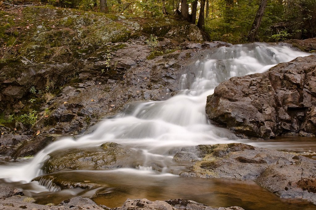
Gleason Creek Falls
By Armen Suny · Last verified May 2026
Difficulty
Moderate
Trail Length
2.4 miles
Trail Type
Out And Back
Elevation Gain
350 ft
About Gleason Creek Falls
Gleason Creek Falls is a small, picturesque cascade tucked into Michigan’s Upper Peninsula just outside the Munising area. The fall’s gentle drop and forested setting make it an appealing spot for photographers and hikers who prefer quiet, less-trafficked natural features rather than large, commercialized overlooks. Reaching the falls involves a moderately paced outing: the common route is a 2.4-mile out-and-back hike with about 350 feet of elevation gain, making it a satisfying half-day loop for most active visitors. The trail winds through mixed northern hardwood and conifer forest and can be unmarked in places, so bring a map or GPS, wear sturdy footwear, and allow extra time for navigation and photo stops.
The Setting
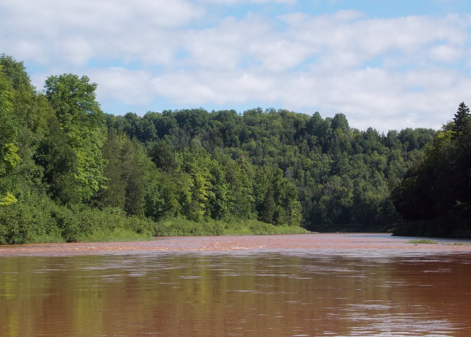
Gleason Creek Falls sits at 1,401 feet along the Ontonagon River, in the foothills of Michigan.
Trail & Hike Details
The Approach
The moderate 2.4-mile out-and-back trail gains 350 feet of elevation on the way to the falls.
Trail Description
Trail length: 2.4 miles (out-and-back). Elevation gain: approximately 350 feet. Difficulty: Moderate. The route follows a forested hiking track to the creek; sections may be unmarked and require careful navigation. No official USFS trail name/number or detailed surface/grade/class data are provided for this route, so expect natural trail conditions and seasonal variability (mud, roots, uneven footing) and plan accordingly.
What to Expect
Dogs are welcome.
Accessibility
The trail is not wheelchair accessible. Uneven terrain and elevation changes require steady footing.
Frequently Asked Questions
🐶 Are Dogs Allowed at Gleason Creek Falls?
✅ Dogs are allowed
Are There Any Fees or Permits Required?
🆖 No fees required
🏊 Is There Swimming at Gleason Creek Falls?
❌ Swimming is not allowed
When to Visit
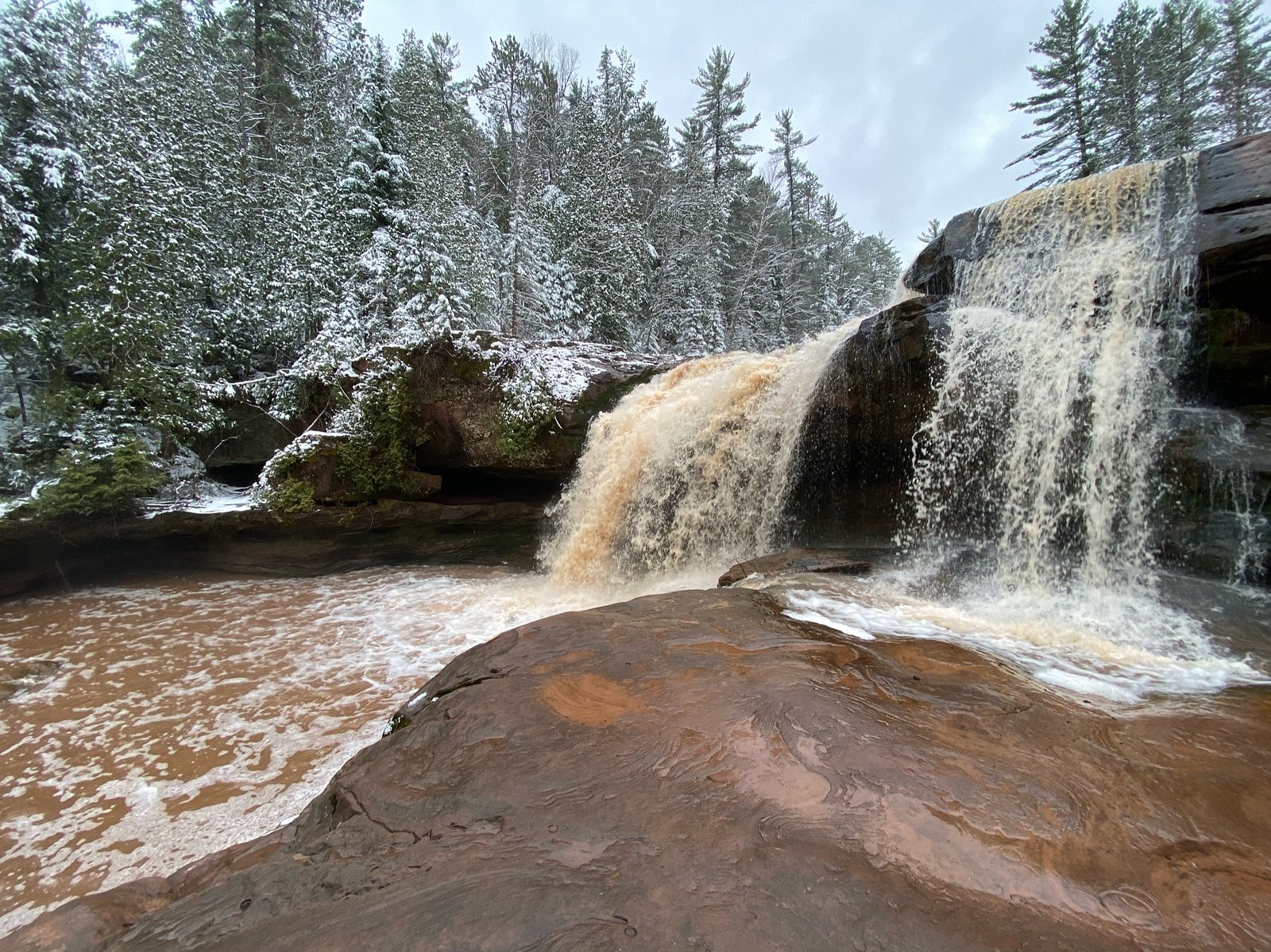
Spring and early summer are ideal times to visit, as the water flow is typically stronger due to snowmelt and rainfall. Fall offers beautiful foliage, while winter may provide a unique view of the falls frozen in ice.
Seasonal Access
The best time to visit is Spring, Summer, and Fall. Winter access may be limited.
Safety Information
Exercise caution on the trail, as it may be slippery or muddy. Be aware of ticks and other insects, and check for them after your visit. Cell phone service may be limited in the area.
Current Water Conditions
634 ft³/s
Current discharge — how much water is flowing
Lower than usual for this time of year
Based on 84 years of record
5.55 ft
Water depth at gauge
7-Day Discharge Trend
What does this mean for your visit?
Flow is lower than usual for this time of year.
About This Gauge
This gauge is on a nearby waterway and may not reflect exact conditions at the falls.
7-Day Flow Outlook
Based on the USGS gauge ONTONAGON RIVER NEAR ROCKLAND, MI (11 km away).
Today
Low
729 cfs
3/10Tomorrow
Moderate
773 cfs
4/10Wed
Moderate
773 cfs
4/10Thu
Moderate
773 cfs
4/10Fri
Moderate
773 cfs
4/10Sat
Moderate
773 cfs
4/10Sun
Moderate
773 cfs
4/10Best window: Tomorrow — moderate flow, chance showers and thunderstorms (trip score 4/10).
How we calculate this
This is a transparent outlook, not a precise forecast. We take the waterfall's current flow strength (how it ranks against its historical normal for today, from the nearest USGS stream gauge), carry that ranking forward along the gauge's seasonal curve, and nudge it for forecast rain. Confidence is highest for the next day or two and falls further out. Always check official conditions and your own judgment before visiting — high flows can be dangerous.
Know when to go.
Get a free email alert when waterfalls near Ewen hit peak flow. We only send when conditions are worth the trip — no weekly newsletters, no spam.
Weather Forecast
Location & Access
Getting There
Gleason Creek Falls is located near Munising, Michigan, in the Hiawatha National Forest. It is accessible via a short drive from Munising, but specific directions to the falls may require local knowledge or GPS assistance.
Get Directions on Google MapsParking
Parking is available in nearby areas, but it may be limited. Visitors should check for designated parking spots or pull-offs along the road.
Elevation
1,401 feet above sea level
Coordinates
46.670777° N, -89.335979° W
Visitor Tips & Gear
Wear sturdy shoes as the trail may be uneven or muddy, especially after rain. Bring insect repellent during the summer months, as mosquitoes can be prevalent. Check local conditions before visiting, as the trail may be harder to navigate in wet or icy conditions.
As an Amazon Associate, we earn from qualifying purchases.
With 2.4 miles and 350 ft of elevation gain, sturdy boots and trekking poles will help on this moderate trail. Sun exposure on the trail makes good sun protection a must in summer.

Polarized Sunglasses (Knockaround)
Cuts glare off the water so you actually see the falls — and your photos turn out better too.

Columbia Watertight II Rain Jacket
Packs into its own pocket, seam-sealed, and keeps you dry from spray and surprise rain.

Earth Pak Waterproof Dry Bag
Keeps your phone and gear dry when waterfall mist soaks everything else.

Waterproof Phone Pouch (AiRunTech)
Cheap insurance — take photos right next to the falls without killing your phone.

Timberland Euro Sprint Mid Waterproof
Trusted waterproof boot with premium leather and grippy rubber sole — reliable on rocky, wet trails.

TrailBuddy Trekking Poles
Lightweight aluminum, cork grips, and flip-locks that actually hold — a best-seller for good reason.
Where to Stay

Scott's Superior Inn and Cabins

Bergland Bay Bungalow

Two Rivers Motel and Cabins of Kenton, MI

Pet-Friendly Michigan Getaway with Porch and Kayaks!
Browse vacation cabins and private rentals nearby
Unique outdoor stays — tents, yurts, and treehouses
Rent a campervan or RV for your waterfall road trip
Some links are affiliate links. We may earn a commission at no extra cost to you.
Nearby Campground
Ontonagon Ranger District
13 miles away · 0 sites
Ontonagon Ranger District is on the shores of Lake Superior, largest of the Great Lakes, and the mouth of the Ontonagon River. There are numerous outdoor recreational opportunities. Hunting, fishing, swimming, hiking, boating, and ATV riding are available in the summer and fall months. In the winter downhill, cross-country skiing, snowmobiling and snowshoeing are available.
Book on Recreation.govAdditional Information
Nearby Attractions
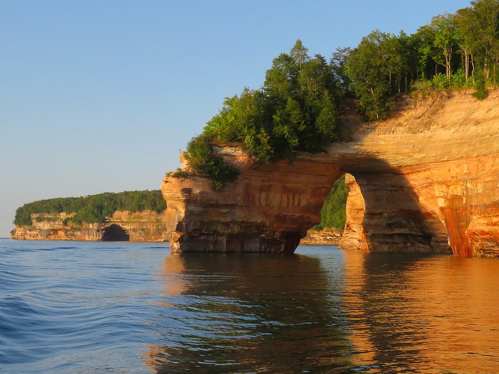
Nearby attractions include Munising Falls, Pictured Rocks National Lakeshore, and Wagner Falls.
Wildlife
The area is home to a variety of wildlife, including birds, deer, and small mammals. Visitors may also encounter insects such as mosquitoes and ticks.
Cities near Gleason Creek Falls
Nearby Waterfalls
Writing about Gleason Creek Falls? Embed this waterfall on your site for free.