Gibbs Falls
By Armen Suny · Last verified May 2026
Photo Credits (1)
Difficulty
Moderate
Trail Length
2.4 miles
Trail Type
Out And Back
Elevation Gain
350 ft
About Gibbs Falls
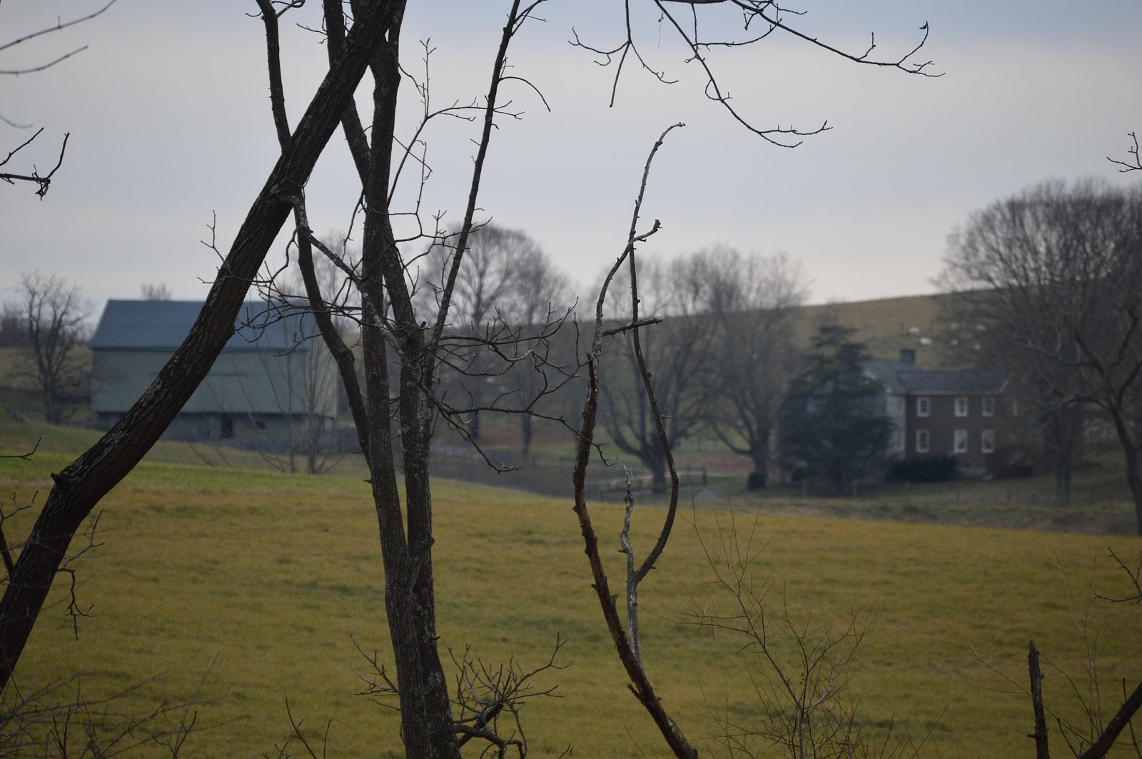
Gibbs Falls is a small, picturesque cascade tucked into Shenandoah National Park. Managed by the National Park Service, the falls offer a peaceful reward for hikers and photographers looking for a quieter water feature within the park. The waterfall is reached by a moderate out-and-back hike of about 2.4 miles round-trip with roughly 350 feet of elevation gain. The short trail threads under a forest canopy and finishes at a shaded viewing spot—an easy half-day outing for visitors who want a scenic stop without a long commitment.
The Setting
Gibbs Falls sits at 1,581 feet along the Maury River, in the hills of Virginia.
Trail & Hike Details
The Approach
The moderate 2.4-mile out-and-back trail gains 350 feet of elevation on the way to the falls.
Trail Description
Out-and-back, 2.4 miles round-trip with approximately 350 feet of elevation gain; rated moderate. The route follows a well-defined, forested footpath with generally well-maintained footing and a mostly gentle incline to the falls. Trail conditions are typical of park footpaths (roots, leaf litter); suitable for hikers comfortable with moderate grades. (No USFS trail number or specific surface/grade class data provided.)
What to Expect
Dogs are welcome.
Accessibility
The trail is not wheelchair accessible. Uneven terrain and elevation changes require steady footing.
Frequently Asked Questions
🐶 Are Dogs Allowed at Gibbs Falls?
✅ Dogs are allowed
Are There Any Fees or Permits Required?
🤑 Fee: $30.00
🏊 Is There Swimming at Gibbs Falls?
❌ Swimming is not allowed
When to Visit
Spring and early summer are ideal times to visit, as the waterfall flow is typically stronger due to seasonal rainfall.
Seasonal Access
The best time to visit is Spring, Summer, and Fall. Winter access may be limited.
Safety Information
Be cautious of slippery rocks near the waterfall. Watch for wildlife, including snakes, and stay on marked trails to avoid getting lost.
Current Water Conditions
30 ft³/s
Current discharge — how much water is flowing
Much lower than usual for this time of year
Based on 97 years of record
1.02 ft
Water depth at gauge
7-Day Discharge Trend
What does this mean for your visit?
Flow is well below normal for this time of year, so the waterfall may be a trickle.
About This Gauge
This gauge is on a nearby waterway and may not reflect exact conditions at the falls.
7-Day Flow Outlook
Based on the USGS gauge MAURY RIVER AT ROCKBRIDGE BATHS, VA (14 km away).
Today
Roaring
35 cfs
6/10Tomorrow
Roaring
37 cfs
6/10Mon
Roaring
34 cfs
6/10Tue
Strong
31 cfs
10/10Wed
Strong
30 cfs
10/10Thu
Strong
30 cfs
10/10Fri
Roaring
33 cfs
6/10Best window: Tue — strong flow, mostly sunny (trip score 10/10).
Best time of year: this gauge typically runs highest from mid February to late April, peaking in March.
How we calculate this
This is a transparent outlook, not a precise forecast. We take the waterfall's current flow strength (how it ranks against its historical normal for today, from the nearest USGS stream gauge), carry that ranking forward along the gauge's seasonal curve, and nudge it for forecast rain. Confidence is highest for the next day or two and falls further out. Always check official conditions and your own judgment before visiting — high flows can be dangerous.
Know when to go.
Get a free email alert when waterfalls near Fairfield hit peak flow. We only send when conditions are worth the trip — no weekly newsletters, no spam.
Weather Forecast
Location & Access
Getting There
Gibbs Falls is accessible via Skyline Drive in Shenandoah National Park. Visitors typically park at one of the nearby trailheads and hike to the falls.
Get Directions on Google MapsParking
Parking is available at designated trailheads along Skyline Drive. Availability may vary depending on the season and time of day.
Elevation
1,581 feet above sea level
Coordinates
37.948187° N, -79.268923° W
Visitor Tips & Gear
Arrive early during peak seasons to secure parking. Wear sturdy shoes as the trail may be muddy after rain. Bring water and snacks, especially during warmer months.
As an Amazon Associate, we earn from qualifying purchases.
With 2.4 miles and 350 ft of elevation gain, sturdy boots and trekking poles will help on this moderate trail. Sun exposure on the trail makes good sun protection a must in summer.

Polarized Sunglasses (Knockaround)
Cuts glare off the water so you actually see the falls — and your photos turn out better too.

Columbia Watertight II Rain Jacket
Packs into its own pocket, seam-sealed, and keeps you dry from spray and surprise rain.

Earth Pak Waterproof Dry Bag
Keeps your phone and gear dry when waterfall mist soaks everything else.

Waterproof Phone Pouch (AiRunTech)
Cheap insurance — take photos right next to the falls without killing your phone.

Timberland Euro Sprint Mid Waterproof
Trusted waterproof boot with premium leather and grippy rubber sole — reliable on rocky, wet trails.

TrailBuddy Trekking Poles
Lightweight aluminum, cork grips, and flip-locks that actually hold — a best-seller for good reason.
Where to Stay

Howard Johnson by Wyndham Lexington

Comfort Inn & Suites Raphine - Lexington near I-81 and I-64

The Gin Hotel, an Ascend Collection Hotel

Best Western Lexington Inn
Browse vacation cabins and private rentals nearby
Unique outdoor stays — tents, yurts, and treehouses
Rent a campervan or RV for your waterfall road trip
Some links are affiliate links. We may earn a commission at no extra cost to you.
Nearby Campground
SHERANDO LAKE RECREATION AREA FAMILY CAMPING
14.2 miles away · 65 sites
Overview Sherando Lake Recreation Area's Family Campground provides an ideal camping destination. It is situated in the Blue Ridge Mountains and is known locally as the jewel of the Blue Ridge Mountains, where visitors enjoy hiking, picnicking in the shade, fishing in the lakes, or swimming and relaxing on the sandy beach.Recreation The 25 acre Lower Lake offers opportunities for swimming in a designated area with a sand beach, accessible ramp to the water's edge, and a beach bathhouse with chang
Book on Recreation.govNearby Hot Springs
Hot springs near Fairfield, Virginia
Rockbridge Baths
Rockbridge Baths emerges at 72 degrees Fahrenheit, flowing 18.9 degrees above ambient temperature at 1,807 feet elevation in Ro...
Healing Springs
Healing Springs flows at 86 degrees Fahrenheit, producing water 34 degrees above ambient temperature at 2,218 feet elevation in...

Hot Springs
Hot Springs produces 106-degree water that flows 54.4 degrees above ambient temperature at 2,298 feet elevation in Bath County,...

Warm Springs
Warm Springs flows at 95 degrees Fahrenheit, producing water 43.7 degrees above ambient temperature at 2,335 feet elevation in ...
Bolar Spring
Bolar Spring flows at 73°F near Warm Springs in Bath County, Virginia, emerging 22 degrees above the 51°F ambient temperature a...
Bragg Spring
Bragg Spring produces 75-degree water that flows 24.4 degrees above ambient temperature at 2,508 feet elevation in Highland Cou...
Looking for a soak after your hike? Explore more hot springs near Fairfield, Virginia on SoakingSprings.
Explore Virginia springsAdditional Information
Nearby Attractions
Other waterfalls in Shenandoah National Park, such as Dark Hollow Falls and Rose River Falls, are nearby and worth exploring.
Wildlife
The area is home to deer, black bears, and various bird species. Visitors should exercise caution and avoid feeding wildlife.
Cities near Gibbs Falls
Nearby Waterfalls
 CC
CC
Writing about Gibbs Falls? Embed this waterfall on your site for free.