Foul Rift Falls
By Armen Suny · Last verified May 2026

Photo Credits (1)
Difficulty
Moderate
Trail Length
2.4 miles
Trail Type
Out And Back
Elevation Gain
350 ft
About Foul Rift Falls
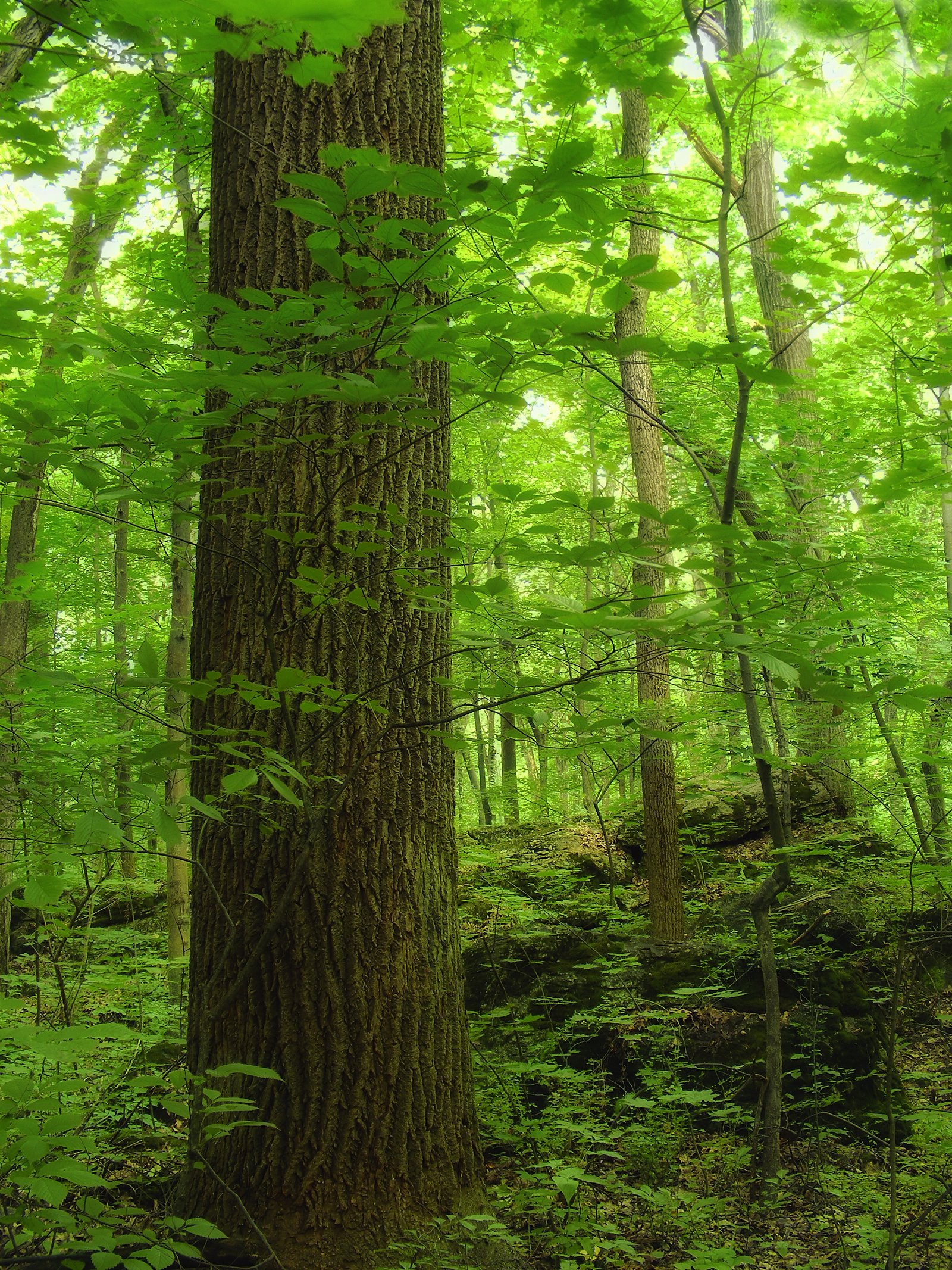
Foul Rift Falls is a dramatic stretch of rapids on the Delaware River in New Jersey rather than a single vertical drop — the river tumbles through a narrow, rocky corridor creating turbulent, photogenic whitewater and a rugged riverside landscape. The feature is best appreciated from the water or from riverbank viewpoints, where the sound and motion of the current are the main attractions rather than a tall plunge pool. Access varies: many visitors approach Foul Rift Falls by boat or view it from nearby points along the river, but hikers can also reach viewpoints via a roughly 2.4-mile out-and-back approach that gains about 350 feet and is generally rated moderate. There is no named USFS trail or official trail number serving the rapids, and the nearest established campground is Alosa Campsites, approximately 31.9 km (about 19.8 miles) away.
The Setting
Foul Rift Falls sits at 266 feet along the Delaware River, in the coastal lowlands of New Jersey.
Trail & Hike Details
The Approach
The moderate 2.4-mile out-and-back trail gains 350 feet of elevation on the way to the falls.
Trail Description
There is no established U.S. Forest Service trail name or number that leads directly to Foul Rift Falls. The commonly used approach is an informal 2.4-mile out-and-back route with roughly 350 feet of elevation gain, rated moderate. Surface and official grade/class are not recorded by USFS — the route is unmaintained and should be expected to include variable, unmarked terrain and riverbank walking rather than a developed trail.
What to Expect
Visitors can expect to see a series of rapids rather than a traditional vertical waterfall. The area is known for its fast-moving water and scenic surroundings.
Accessibility
The trail is not wheelchair accessible. Uneven terrain and elevation changes require steady footing.
Frequently Asked Questions
🐶 Are Dogs Allowed at Foul Rift Falls?
❌ Dogs are not allowed
Are There Any Fees or Permits Required?
🆖 No fees required
🏊 Is There Swimming at Foul Rift Falls?
❌ Swimming is not allowed
When to Visit
Spring and early summer may offer the best views due to higher water levels from snowmelt and rainfall.
Seasonal Access
The best time to visit is Spring, Summer, Fall, and Winter.
Safety Information
The rapids are dangerous, and visitors should exercise extreme caution. Swimming and wading are not advised. Always wear a life jacket if accessing by boat.
Current Water Conditions
2,890 ft³/s
Current discharge — how much water is flowing
About average for this time of year
Based on 102 years of record
3.89 ft
Water depth at gauge
7-Day Discharge Trend
What does this mean for your visit?
Flow is about average for this time of year.
About This Gauge
7-Day Flow Outlook
Based on the USGS gauge Delaware River at Belvidere NJ (2 km away).
Today
Low
2890 cfs
6/10Tomorrow
Moderate
3230 cfs
4/10Thu
Low
3040 cfs
6/10Fri
Moderate
3211 cfs
4/10Sat
Moderate
3240 cfs
4/10Sun
Moderate
3003 cfs
4/10Mon
Moderate
3052 cfs
4/10Best window: Today — low flow, mostly sunny (trip score 6/10).
Best time of year: this gauge typically runs highest from late February to late May, peaking in April.
How we calculate this
This is a transparent outlook, not a precise forecast. We take the waterfall's current flow strength (how it ranks against its historical normal for today, from the nearest USGS stream gauge), carry that ranking forward along the gauge's seasonal curve, and nudge it for forecast rain. Confidence is highest for the next day or two and falls further out. Always check official conditions and your own judgment before visiting — high flows can be dangerous.
Know when to go.
Get a free email alert when waterfalls near Brookfield hit peak flow. We only send when conditions are worth the trip — no weekly newsletters, no spam.
Weather Forecast
Location & Access
Getting There
Foul Rift Falls is located along the Delaware River near Belvidere, New Jersey. Access to the area may be limited as it is primarily viewed from the river or nearby private properties.
Get Directions on Google MapsParking
There is no designated parking area for Foul Rift Falls. Visitors may need to park in nearby public areas and walk or paddle to view the rapids.
Elevation
266 feet above sea level
Coordinates
40.811209° N, -75.094897° W
Visitor Tips & Gear
Exercise caution when near the water, as the rapids can be dangerous. If accessing by boat, ensure you have proper safety equipment and experience navigating turbulent waters.
As an Amazon Associate, we earn from qualifying purchases.
With 2.4 miles and 350 ft of elevation gain, sturdy boots and trekking poles will help on this moderate trail. Icy conditions are common in winter — traction cleats are a smart addition.

Columbia Watertight II Rain Jacket
Packs into its own pocket, seam-sealed, and keeps you dry from spray and surprise rain.

Polarized Sunglasses (Knockaround)
Cuts glare off the water so you actually see the falls — and your photos turn out better too.

Earth Pak Waterproof Dry Bag
Keeps your phone and gear dry when waterfall mist soaks everything else.

Waterproof Phone Pouch (AiRunTech)
Cheap insurance — take photos right next to the falls without killing your phone.

Timberland Euro Sprint Mid Waterproof
Trusted waterproof boot with premium leather and grippy rubber sole — reliable on rocky, wet trails.

TrailBuddy Trekking Poles
Lightweight aluminum, cork grips, and flip-locks that actually hold — a best-seller for good reason.
Where to Stay

Hotel Belvidere

Pocono Mountain Villas MOD Collection by Sonesta

WoodSpring Suites Easton Nazareth

Tru By Hilton Easton
Browse vacation cabins and private rentals nearby
Unique outdoor stays — tents, yurts, and treehouses
Rent a campervan or RV for your waterfall road trip
Some links are affiliate links. We may earn a commission at no extra cost to you.
Nearby Campground
Alosa Campsites
19.8 miles away · 6 sites
Overview The Alosa Campsites are boat-in only sites located on the west (Pennsylvanian) shore of the Delaware River near Bushkill, Pennsylvania. The side of the river with the campsites will be on your right while traveling downstream. This section of the river offers unspoiled views, excellent boating, fishing, and birding opportunities within the Delaware Water Gap National Recreation Area and the Middle Delaware National Scenic and Recreational River. These reservation-only campsites are avail
Book on Recreation.govAdditional Information
Nearby Attractions
Nearby attractions include the Delaware Water Gap National Recreation Area and the town of Belvidere, NJ.
Wildlife
The area is home to various bird species, fish, and other riverine wildlife.
Cities near Foul Rift Falls
Writing about Foul Rift Falls? Embed this waterfall on your site for free.