Photo Credits (5)
Difficulty
Moderate
Trail Length
2.4 miles
Trail Type
Out And Back
Elevation Gain
350 ft
About Falls of Seneca
Tucked into the same rugged country as Seneca Rocks, the Falls of Seneca is a quietly scenic cascade set within the Spruce Knob–Seneca Rocks National Recreation Area. The falls sit on land owned by DESG and are managed by the U.S. Forest Service, which helps protect the steep, forested ravines that frame the water. The setting feels like a classic Allegheny Highlands outing — shaded hemlock and hardwood slopes, mossy rock, and the steady sound of flowing water — making it a rewarding stop for hikers exploring the NRA. Access is straightforward for a day trip: the walk to the falls is a moderate out-and-back route of about 2.4 miles with roughly 350 feet of elevation gain. If you’re planning to camp, Spruce Knob Lake campground is nearby (about 7.7 km away), making an overnight stay a convenient option for early starts or sunset visits. Check with the USFS Spruce Knob–Seneca Rocks office before you go for the latest trail conditions and any seasonal advisories.
The Setting
Falls of Seneca sits at 2,477 feet within Spruce Knob-Seneca Rocks National Recreation Area, fed by the South Branch Potomac River, in the hills of West Virginia.
Trail & Hike Details
The Approach
The moderate 2.4-mile out-and-back trail gains 350 feet of elevation on the way to the falls.
Trail Description
This route to the Falls of Seneca is an out-and-back trail measuring approximately 2.4 miles with about 350 feet of elevation gain; USFS difficulty is listed as moderate. Specific USFS trail surface, grade, and technical class information are not provided for this route, so hikers should expect typical natural-surface mountain trail conditions and plan accordingly (sturdy footwear, water, and navigation aids recommended). For up-to-date route details, closures, or parking information, contact the USFS Spruce Knob–Seneca Rocks National Recreation Area before heading out.
What to Expect
Visitors can expect a serene natural setting with cascading water and scenic views. The area is surrounded by the beauty of the Monongahela National Forest, making it a great spot for photography and relaxation.
Accessibility
The trail is not wheelchair accessible. Uneven terrain and elevation changes require steady footing.
Frequently Asked Questions
🐶 Are Dogs Allowed at Falls of Seneca?
❌ Dogs are not allowed
Are There Any Fees or Permits Required?
🆖 No fees required
🏊 Is There Swimming at Falls of Seneca?
❌ Swimming is not allowed
When to Visit
Spring and early summer are ideal for visiting, as the waterfall flow is typically stronger due to seasonal rainfall.
Seasonal Access
The best time to visit is Spring, Summer, and Fall. Winter access may be limited.
Safety Information
Trails may be slippery or uneven, especially after rain. Visitors should exercise caution and stay on marked paths. Be prepared for changing weather conditions.
Current Water Conditions
Based on a USGS gauge 15.1 miles away
49 ft³/s
Current discharge — how much water is flowing
About average for this time of year
Based on 79 years of record
1.75 ft
Water depth at gauge
7-Day Discharge Trend
What does this mean for your visit?
Flow is about average for this time of year.
About This Gauge
This gauge is on a regional waterway. Conditions at the falls may differ, especially after local rain.
7-Day Flow Outlook
Based on the USGS gauge SOUTH BRANCH POTOMAC RIVER AT FRANKLIN, WV (24 km away).
Today
Moderate
58 cfs
6/10Tomorrow
Moderate
53 cfs
8/10Thu
Moderate
51 cfs
9/10Fri
Moderate
57 cfs
6/10Sat
Moderate
56 cfs
6/10Sun
Moderate
54 cfs
6/10Mon
Moderate
57 cfs
6/10Best window: Thu — moderate flow, sunny (trip score 9/10).
Best time of year: this gauge typically runs highest from mid February to early May, peaking in March.
How we calculate this
This is a transparent outlook, not a precise forecast. We take the waterfall's current flow strength (how it ranks against its historical normal for today, from the nearest USGS stream gauge), carry that ranking forward along the gauge's seasonal curve, and nudge it for forecast rain. Confidence is highest for the next day or two and falls further out. Always check official conditions and your own judgment before visiting — high flows can be dangerous.
Know when to go.
Get a free email alert when waterfalls near Whitmer hit peak flow. We only send when conditions are worth the trip — no weekly newsletters, no spam.
Weather Forecast
Location & Access
Getting There
The Falls of Seneca is located near the town of Seneca Rocks, West Virginia. It is accessible via Route 33/28, and visitors can follow signs for Seneca Rocks and nearby attractions.
Get Directions on Google MapsParking
Parking is available near the Seneca Rocks Discovery Center, which serves as a starting point for exploring the area.
Elevation
2,477 feet above sea level
Coordinates
38.818445° N, -79.490606° W
Land Management
Managed by USFS
Visitor Tips & Gear
Wear sturdy footwear and bring a map or GPS device, as trail information may be limited. Check weather conditions before visiting, as trails can become slippery or inaccessible after heavy rain.
As an Amazon Associate, we earn from qualifying purchases.
With 2.4 miles and 350 ft of elevation gain, sturdy boots and trekking poles will help on this moderate trail. Sun exposure on the trail makes good sun protection a must in summer.

Polarized Sunglasses (Knockaround)
Cuts glare off the water so you actually see the falls — and your photos turn out better too.

Columbia Watertight II Rain Jacket
Packs into its own pocket, seam-sealed, and keeps you dry from spray and surprise rain.

Earth Pak Waterproof Dry Bag
Keeps your phone and gear dry when waterfall mist soaks everything else.

Waterproof Phone Pouch (AiRunTech)
Cheap insurance — take photos right next to the falls without killing your phone.

Timberland Euro Sprint Mid Waterproof
Trusted waterproof boot with premium leather and grippy rubber sole — reliable on rocky, wet trails.

TrailBuddy Trekking Poles
Lightweight aluminum, cork grips, and flip-locks that actually hold — a best-seller for good reason.
Where to Stay

The Renovated Barn at Seneca Rocks

BaseCampWV-Durbin. Spacious 4 bedroom house w/yard

Rustic Wooden Cabin with Hot-tub in Riverton, West Virginia

The Renovated Farmhouse at Seneca Rocks
Browse vacation cabins and private rentals nearby
Unique outdoor stays — tents, yurts, and treehouses
Rent a campervan or RV for your waterfall road trip
Some links are affiliate links. We may earn a commission at no extra cost to you.
Nearby Campground
SPRUCE KNOB LAKE
4.8 miles away · 42 sites
Overview The Spruce Knob Lake Campground is tucked in a beautiful hardwood forest less than a mile from Spruce Knob Lake. The campground provides a peaceful setting with easy access to boating on the lake and hiking through the mountainous region. Spruce Knob Lake Campground is comprised of 28 standard camping units, 2 double camping units, and 10 walk in camping units with fire rings, lantern posts, picnic tables and paved spurs (standard camping units). In addition, there is a developed host si
Book on Recreation.govNearby Hot Springs
Hot springs near Whitmer, West Virginia
Thorn Spring
Thorn Spring flows at 72°F from Thorn Spring Park, a non-profit owned property just 14.5 meters from the road in Pendleton Coun...
Bragg Spring
Bragg Spring produces 75-degree water that flows 24.4 degrees above ambient temperature at 2,508 feet elevation in Highland Cou...
Bolar Spring
Bolar Spring flows at 73°F near Warm Springs in Bath County, Virginia, emerging 22 degrees above the 51°F ambient temperature a...
Minnehaha Springs
Minnehaha Springs flows at 70°F from a roadside location just 27.5 meters from State Route 92 in Pocahontas County, West Virgin...
Looking for a soak after your hike? Explore more hot springs near Whitmer, West Virginia on SoakingSprings.
Explore West Virginia springsAdditional Information
Nearby Attractions
Seneca Rocks, Spruce Knob, and the Seneca Caverns are popular nearby attractions.
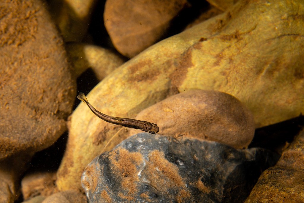
Wildlife
The area is home to a variety of wildlife, including deer, birds, and small mammals. Visitors may also encounter native plant species.
Cities near Falls of Seneca
Writing about Falls of Seneca? Embed this waterfall on your site for free.