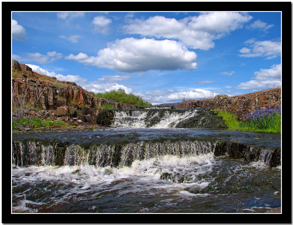
Dry Creek Falls
By Armen Suny · Last verified Mar 2026
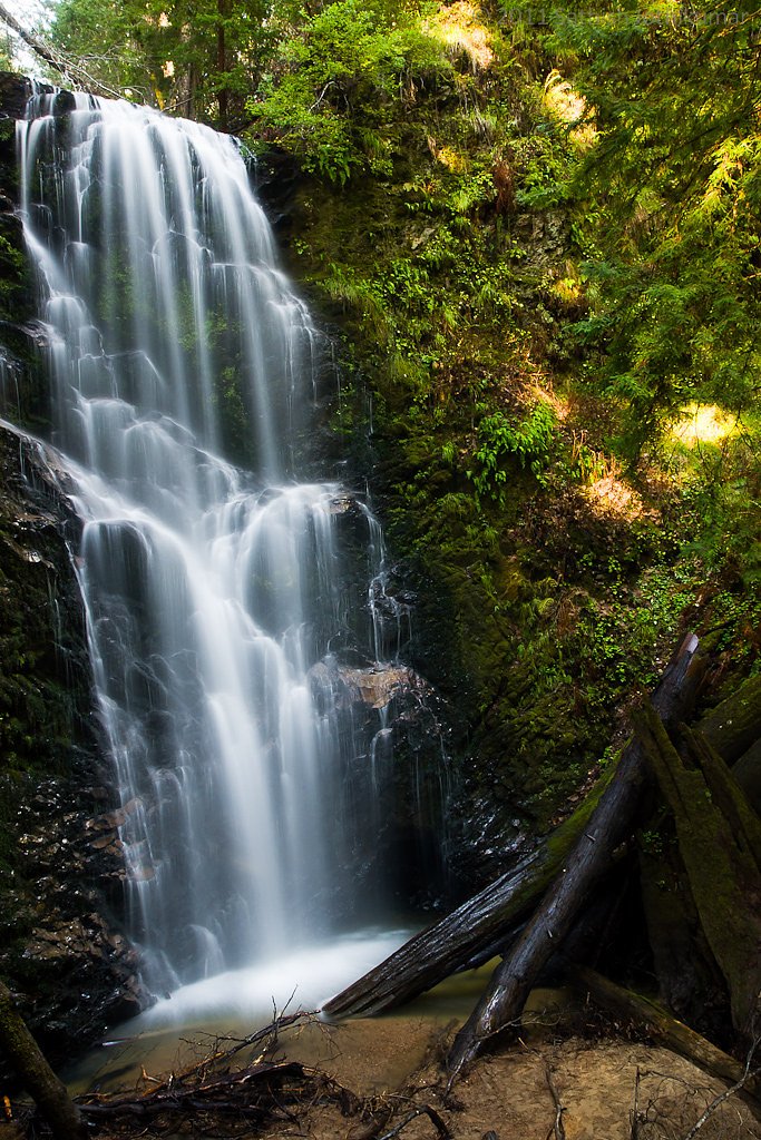
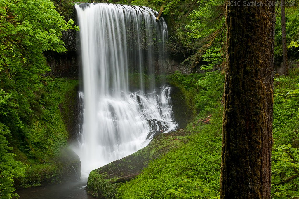
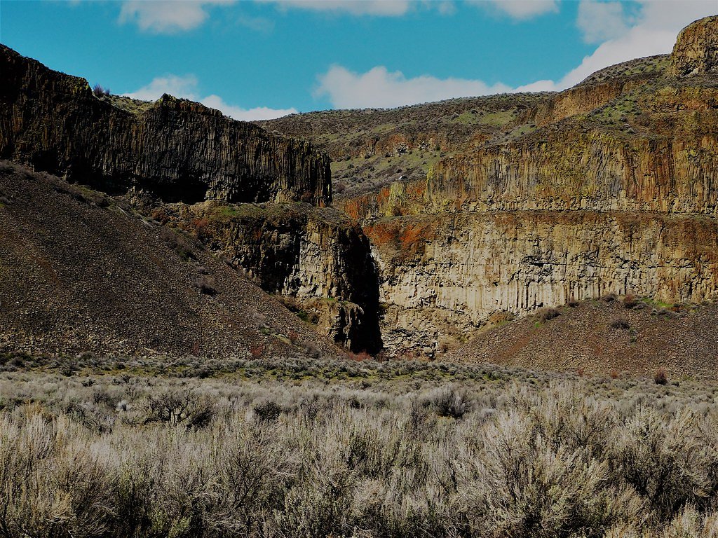
Photo Credits (5)
Difficulty
Moderate
Trail Length
4.4 miles
Trail Type
Out And Back
Elevation Gain
700 ft
About Dry Creek Falls
Dry Creek Falls is a scenic waterfall in Washington located within the Yakama Nation Reservation. The site sits on land owned by DESG and designated TRIBL, and is managed by tribal authorities (manager: TRIB); visitors should be mindful of tribal land signage and any access guidelines while enjoying the area. The falls offer a peaceful outdoor destination for hikers looking to explore tribal landscapes and natural water features. The hike to Dry Creek Falls is a moderately paced outing that suits day-hikers seeking a shorter backcountry experience. The route and surrounding land are managed by the Yakama Nation, so plan ahead, respect cultural resources, and pack out what you bring in for a low-impact visit.
The Setting
Dry Creek Falls sits at 2,956 feet within Yakama Nation Reservation, fed by the Toppenish Creek, in the hills of Washington.
Trail & Hike Details
The Approach
The moderate 4.4-mile out-and-back trail gains 700 feet of elevation on the way to the falls.
Trail Description
Trail length: 4.4 miles (out-and-back). Elevation gain: approximately 700 feet. Difficulty: Moderate. Trail type: Out-and-back. No USFS trail name or number is recorded in the available data, and specific USFS trail surface, grade, or technical class details are not provided. The route is best approached as a moderate, longer day hike on tribal lands—check local tribal guidance before heading out and come prepared with water, navigation, and appropriate footwear.
What to Expect
Dogs are welcome.
Accessibility
The trail is not wheelchair accessible. Uneven terrain and elevation changes require steady footing.
Frequently Asked Questions
🐶 Are Dogs Allowed at Dry Creek Falls?
✅ Dogs are allowed
Are There Any Fees or Permits Required?
🤑 Fee: $0.00
🏊 Is There Swimming at Dry Creek Falls?
❌ Swimming is not allowed
When to Visit
Spring and early summer are ideal times to visit, as the waterfall flow is typically strongest due to snowmelt. Fall offers beautiful foliage, while winter may bring icy conditions but fewer crowds.
Seasonal Access
The best time to visit is Spring, Summer, and Fall. Winter access may be limited.
Safety Information
Be cautious of slippery rocks near the waterfall. The trail can be muddy or icy depending on the season, so wear appropriate footwear. Always stay on the marked trail to avoid damaging the environment or getting lost.
Current Water Conditions
8 ft³/s
Current discharge — how much water is flowing
Much lower than usual for this time of year
Based on 30 years of record
3.51 ft
Water depth at gauge
7-Day Discharge Trend
What does this mean for your visit?
Flow is well below normal for this time of year, so the waterfall may be a trickle.
About This Gauge
This gauge is on a nearby waterway and may not reflect exact conditions at the falls.
7-Day Flow Outlook
Based on the USGS gauge TOPPENISH CREEK NEAR FORT SIMCOE, WA (17 km away).
Today
Moderate
8 cfs
6/10Tomorrow
Moderate
8 cfs
8/10Sat
Moderate
8 cfs
6/10Sun
Moderate
7 cfs
8/10Mon
Moderate
7 cfs
8/10Tue
Moderate
7 cfs
6/10Wed
Moderate
7 cfs
9/10Best window: Wed — moderate flow, sunny (trip score 9/10).
Best time of year: this gauge typically runs highest from late February to late May, peaking in April.
How we calculate this
This is a transparent outlook, not a precise forecast. We take the waterfall's current flow strength (how it ranks against its historical normal for today, from the nearest USGS stream gauge), carry that ranking forward along the gauge's seasonal curve, and nudge it for forecast rain. Confidence is highest for the next day or two and falls further out. Always check official conditions and your own judgment before visiting — high flows can be dangerous.
Know when to go.
Get a free email alert when waterfalls near White Swan hit peak flow. We only send when conditions are worth the trip — no weekly newsletters, no spam.
Weather Forecast
Location & Access
Getting There
Dry Creek Falls is located near Cascade Locks, Washington. The trailhead is accessible from the Bridge of the Gods Trailhead, which connects to the Pacific Crest Trail. Follow signs for Dry Creek Falls along the trail.
Get Directions on Google MapsParking
Parking is available at the Bridge of the Gods Trailhead. A Northwest Forest Pass or America the Beautiful Pass is required for parking.
Elevation
2,956 feet above sea level
Coordinates
46.162904° N, -120.758956° W
Land Management
Managed by TRIB
Visitor Tips & Gear
Start early to avoid crowds and secure parking. Wear sturdy hiking shoes, as the trail can be rocky in places. Bring plenty of water and snacks, especially during warmer months. Check weather conditions before heading out, as the trail can be muddy or slippery after rain.
As an Amazon Associate, we earn from qualifying purchases.
With 4.4 miles and 700 ft of elevation gain, sturdy boots and trekking poles will help on this moderate trail. Sun exposure on the trail makes good sun protection a must in summer.

Polarized Sunglasses (Knockaround)
Cuts glare off the water so you actually see the falls — and your photos turn out better too.

Columbia Watertight II Rain Jacket
Packs into its own pocket, seam-sealed, and keeps you dry from spray and surprise rain.

Earth Pak Waterproof Dry Bag
Keeps your phone and gear dry when waterfall mist soaks everything else.

Waterproof Phone Pouch (AiRunTech)
Cheap insurance — take photos right next to the falls without killing your phone.

Timberland Euro Sprint Mid Waterproof
Trusted waterproof boot with premium leather and grippy rubber sole — reliable on rocky, wet trails.

TrailBuddy Trekking Poles
Lightweight aluminum, cork grips, and flip-locks that actually hold — a best-seller for good reason.
Where to Stay

Postcard Cabins Mount Adams, Outdoor Collection by Marriott Bonvoy

Best Western Plus Vintage Valley Inn

Toppenish Inn and Suites
Browse vacation cabins and private rentals nearby
Unique outdoor stays — tents, yurts, and treehouses
Rent a campervan or RV for your waterfall road trip
Some links are affiliate links. We may earn a commission at no extra cost to you.
Nearby Hot Springs
Hot springs near White Swan, Washington
Simcoe Soda Springs
Simcoe Soda Springs flows at 90 degrees Fahrenheit on Yakama Nation Reservation tribal land in Yakima County near Tieton, with ...
Fish Hatchery Warm Spring
Fish Hatchery Warm Spring produces 75-degree water on Yakama Nation Reservation lands, flowing 23.7 degrees above ambient tempe...
Klickitat Mineral Springs
Klickitat Mineral Springs produces 81-degree water at just 481 feet elevation on state conservation lands, flowing 27.9 degrees...

Mount Adams Fumaroles
Mount Adams fumaroles reach 150 degrees at 12,269 feet elevation, emerging 136 degrees above ambient on Washington's second-hig...
Orr Creek Warm Springs
Orr Creek Warm Springs emerges at 72 degrees in the Gifford Pinchot National Forest at 2,910 feet elevation, flowing 26.5 degre...
Packwood Hot Spring
Packwood Hot Spring flows at 100 degrees at 1,002 feet elevation in the lower Cascade foothills near Morton, emerging 49.8 degr...
Looking for a soak after your hike? Explore more hot springs near White Swan, Washington on SoakingSprings.
Explore Washington springsAdditional Information
Nearby Attractions
Nearby attractions include the Bridge of the Gods, Cascade Locks, and other hiking trails along the Columbia River Gorge.
Wildlife
The area is home to a variety of wildlife, including birds, deer, and small mammals. Be cautious of ticks and other insects during warmer months.
Cities near Dry Creek Falls
Nearby Waterfalls
Other waterfalls named Dry Creek Falls
1 other waterfall shares this name across the U.S.
Writing about Dry Creek Falls? Embed this waterfall on your site for free.