Photo Credits (5)
Difficulty
Drive Up
About Dougan Falls
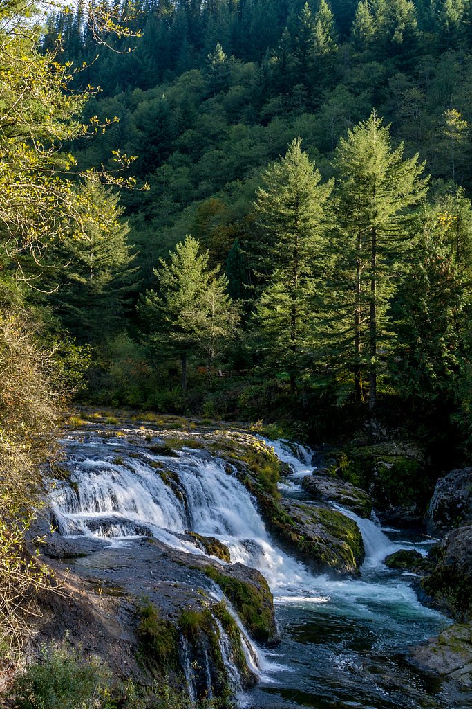
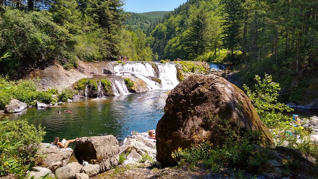
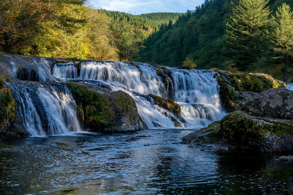
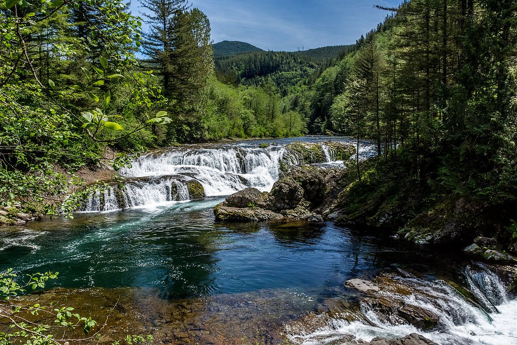
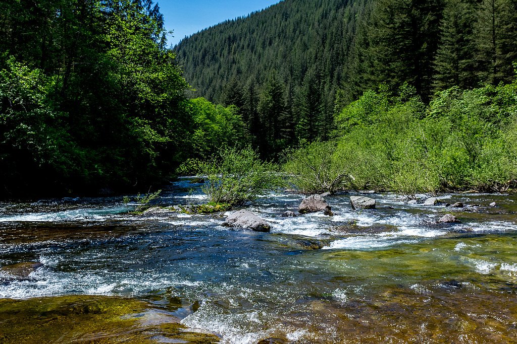
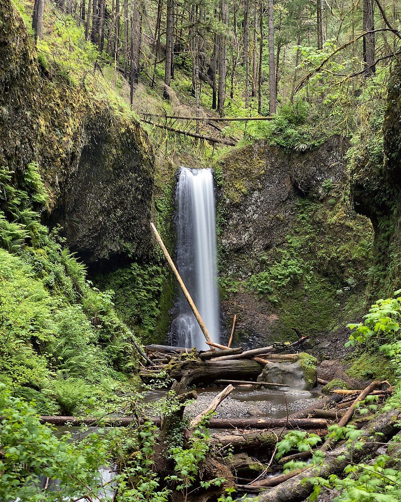
Dougan Falls sits along the Washougal River in Washington, where a broad, 19-foot cascade spills into a scenic pool that draws photographers and day visitors looking for a classic Pacific Northwest riverside view. The falls’ wide ledge creates a pleasing curtain of water and a photogenic plunge pool framed by rocky banks and riparian vegetation, making it a popular stop for locals and hikers exploring the Washougal corridor. While the falls are often enjoyed for their views and river-side atmosphere, access involves a short hike: the primary route is a 2.4-mile out-and-back trail that climbs roughly 350 feet and is rated moderate. The combination of an easy-to-enjoy waterfall setting and a manageable trail makes Dougan Falls a satisfying half-day outing for moderate hikers and anyone seeking a compact, scenic riverside escape.
The Setting
Dougan Falls sits at 643 feet in the foothills of Washington. The falls drop 19 feet.
Height: 19 feet
Nearby Falls Worth Visiting
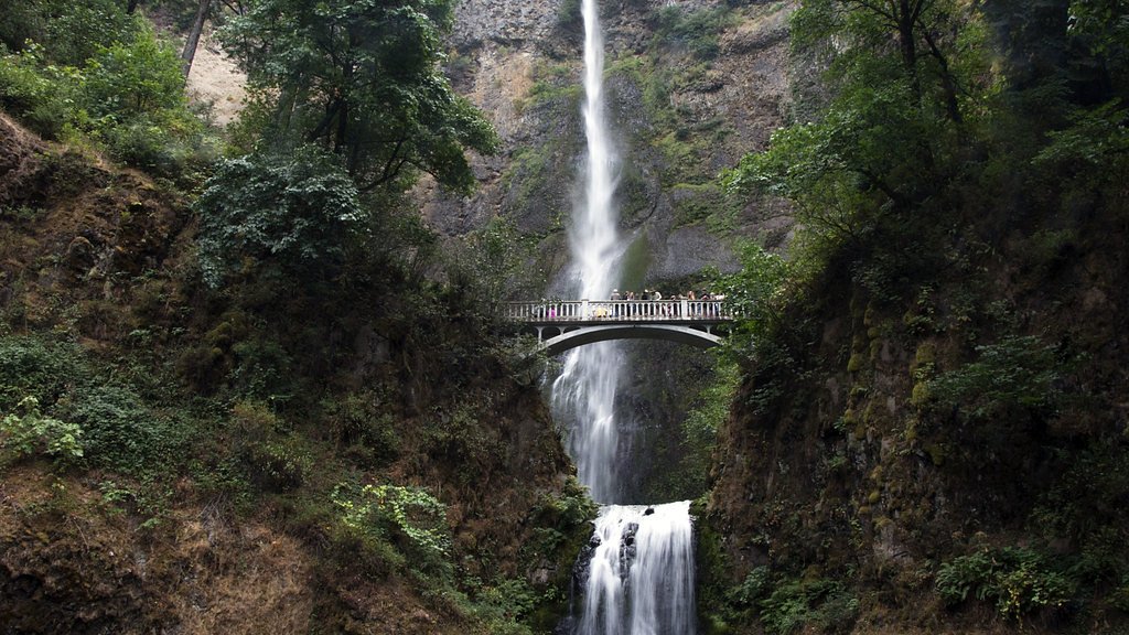
Multnomah Falls, the tallest waterfall in Oregon at 620 feet, lies 6.9 miles to the south. Also nearby: Wahkeena Falls (242 ft, 7.0 mi) and Coopey Falls (150 ft, 7.6 mi).
Trail & Hike Details
The Approach
No hiking required. Dougan Falls is accessible by vehicle with a roadside viewing area.
Trail Description
Trail type: out-and-back. Distance: 2.4 miles round-trip. Elevation gain: approximately 350 feet. Difficulty: moderate. Waterfall height: 19 feet. No USFS trail number, surface, grade, or technical class was provided in the supplied data; the basic route is a moderate-length hike that brings you to viewpoints of the falls and the Washougal River. Plan for typical trail conditions and bring good footwear for uneven natural tread.
What to Expect
The falls drop a gentle 19 feet. Swimming is permitted. Dogs are welcome.
Accessibility
This waterfall is viewable from a vehicle-accessible area. No hiking is required.
Frequently Asked Questions
🐶 Are Dogs Allowed at Dougan Falls?
✅ Dogs are allowed
Are There Any Fees or Permits Required?
🤑 Fee: $2.00
🏊 Is There Swimming at Dougan Falls?
✅ Swimming is allowed
When to Visit
Spring and summer are the best times to visit, as the water flow is strong, and the weather is pleasant for outdoor activities.
Seasonal Access
The best time to visit is Spring, Summer, and Fall. Winter access may be limited.
Safety Information
The rocks around the falls can be slippery, and the currents in the river may be strong, especially after heavy rains. Visitors should exercise caution when near the water and supervise children closely.
Know when to go.
Get a free email alert when waterfalls near North Bonneville hit peak flow. We only send when conditions are worth the trip — no weekly newsletters, no spam.
Weather Forecast
The Terrain, Seen by LiDAR
Aircraft-mounted lasers measured this ground to within inches. Trees and buildings are digitally stripped away, leaving the bare shape of the land the water has carved.
The ground through the falls loses about 46 feet in steep steps rather than one leap. The falls are listed at 19 feet; the extra comes from the ravine that continues below the base. The ground at the falls is roughly 651 feet above sea level.
The ground changes about 42 feet in the 500 feet above the falls and 36 feet in the 500 feet below. The falls face west and glow in afternoon and evening light.
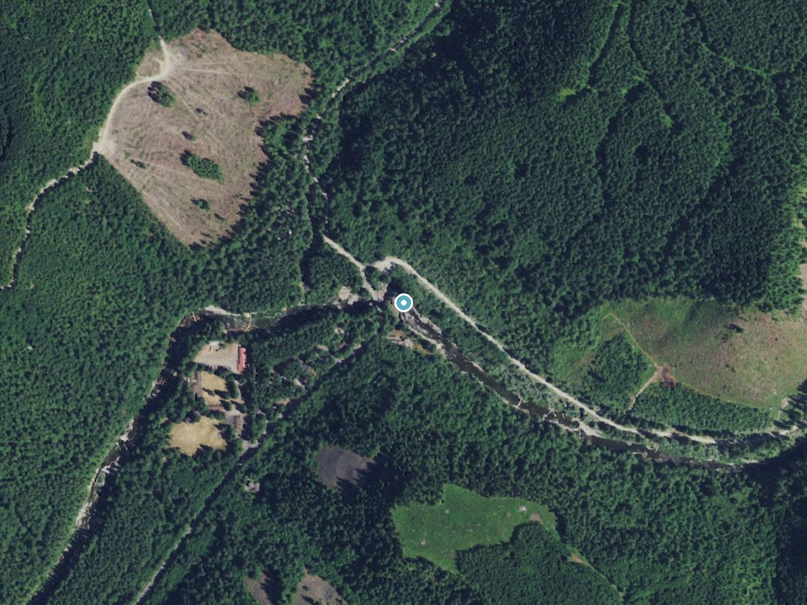
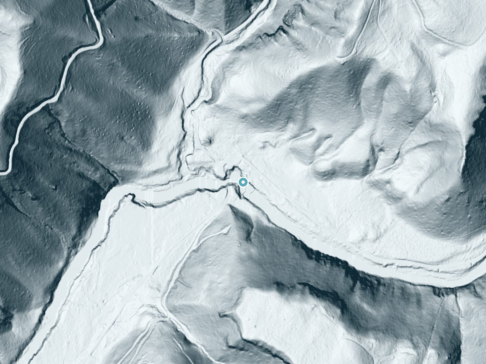
Drag to compare. The dot marks the waterfall. The frame is about a mile across.
- Ground elevation
- 651 feet
- Measured by 1-meter lidar
- Drop at the falls
- About 46 feet
- Change in ground height within ~250 feet of the falls
- Faces
- West
- Glows in afternoon and evening light.
A slice through the lidar ground surface, from above the falls to downstream (heading west).
Elevation data: USGS 3D Elevation Program. Aerial imagery: USGS The National Map. Public domain.
Location & Access
Getting There
Dougan Falls is located approximately 13 miles north of Washougal, Washington. Visitors can reach the falls by driving along Washougal River Road, which is a paved and well-maintained route. The falls are easily accessible by car.
Get Directions on Google MapsParking
There is a parking area near the falls, but it can fill up quickly during peak seasons. Visitors should arrive early to secure a spot.
Elevation
643 feet above sea level
Coordinates
45.672694° N, -122.152827° W
Visitor Tips & Gear
Arrive early during summer weekends to secure parking. Bring water shoes if you plan to wade in the river, as the rocks can be slippery. Be cautious of strong currents, especially after heavy rains.
Where to Stay
Mt Air Motel

Staypineapple, Hotel Rose, Downtown Portland

Hotel DeLuxe

Cozy home for families with game room & playground
Browse vacation cabins and private rentals nearby
Unique outdoor stays — tents, yurts, and treehouses
Rent a campervan or RV for your waterfall road trip
Some links are affiliate links. We may earn a commission at no extra cost to you.
Nearby Campground
EAGLE CREEK OVERLOOK GRP SITE
10.9 miles away · 1 sites
Overview Eagle Creek Overlook Group Site is set on a forested bluff above the Columbia River, providing an ideal setting for family gatherings and group events. Developed by the Civilian Conservation Corps (CCC) in the 1930s as a place to view construction of the Bonneville Dam, this site features CCC masonry and offers expansive views of the Columbia River and mountains rising from the gorge.Recreation The Eagle Recreation Area, just a short walk or bike ride away, provides visitors with opportu
Book on Recreation.govNearby Hot Springs
Hot springs near Camas, Washington
Moffetts (Bonneville) Hot Springs
Moffetts Hot Springs, also called Bonneville Hot Springs, flows at 97 degrees in the Gifford Pinchot National Forest at just 75...
Rock Creek Hot Springs
Rock Creek Hot Springs emerges in the Columbia River Gorge in Skamania County, Washington, with water documented as 'hot' witho...
St Martins Hot Springs
St. Martins Hot Springs flows at 120 degrees Fahrenheit at just 432 feet elevation in the Columbia River Gorge near Carson in S...

Collins Hot Springs
Collins Hot Springs emerges at 122 degrees just 127 feet above sea level in the Columbia River Gorge, producing water 68.4 degr...

Mt St Helens Fumaroles
Mount St. Helens fumaroles reach 190 degrees at 6,906 feet elevation on the crater rim, emerging 159.1 degrees above ambient in...

Mount Hood Fumaroles
Mount Hood Fumaroles vent at 194°F from the flanks of Oregon's highest peak, among the state's most extreme geothermal features...
Looking for a soak after your hike? Explore more hot springs near Camas, Washington on SoakingSprings.
Explore Washington springsAdditional Information
Nearby Attractions
Nearby attractions include Naked Falls and the Washougal River Greenway. The area also offers opportunities for hiking and exploring the surrounding forest.
Wildlife
The area is home to various bird species, fish, and small mammals. Visitors may also spot deer or other wildlife in the surrounding forest.
Cities near Dougan Falls
Nearby Waterfalls
Writing about Dougan Falls? Embed this waterfall on your site for free.