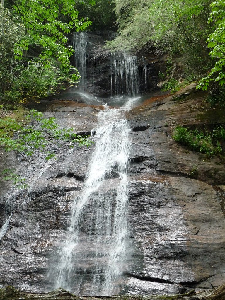
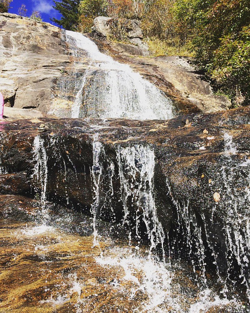
Dill Falls
North Carolina • 50 ft
By Armen Suny · Last verified Mar 2026
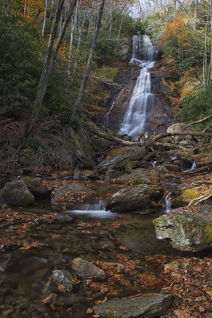
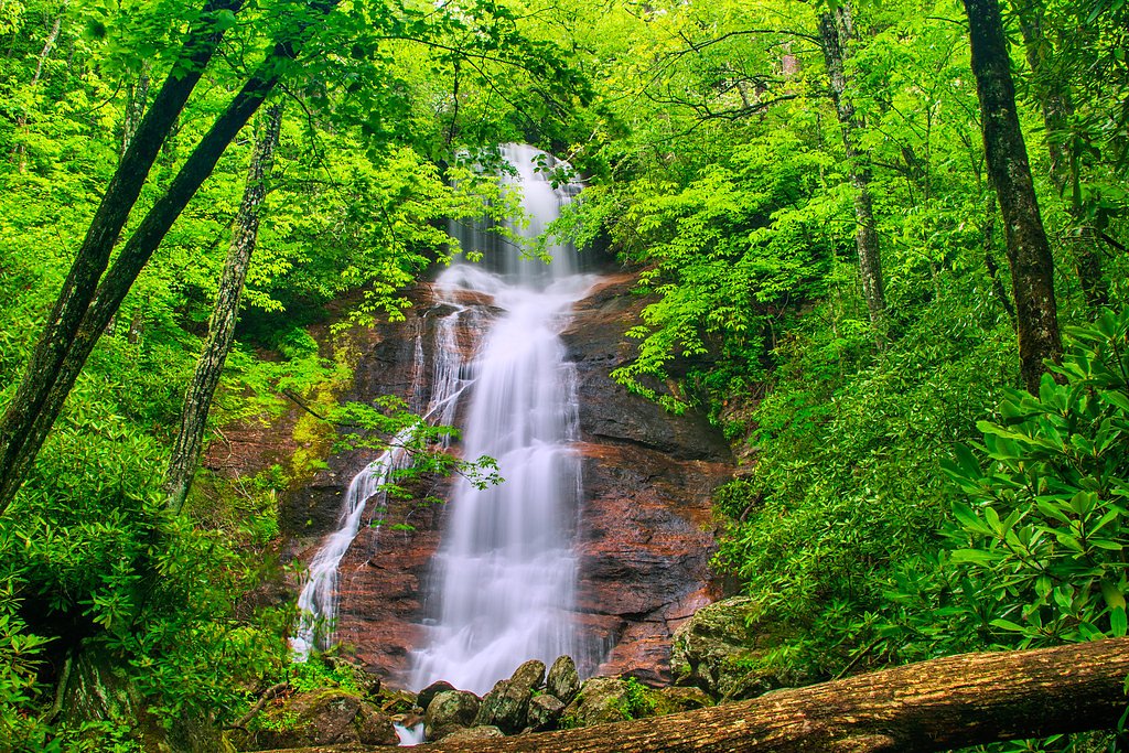
Photo Credits (4)
Difficulty
Moderate
Trail Length
2.4 miles
Trail Type
Out And Back
Elevation Gain
350 ft
About Dill Falls
Dill Falls is a picturesque waterfall located in the Nantahala National Forest in North Carolina. It is known for its serene setting and relatively easy access, making it a popular spot for nature enthusiasts and photographers.
The Setting
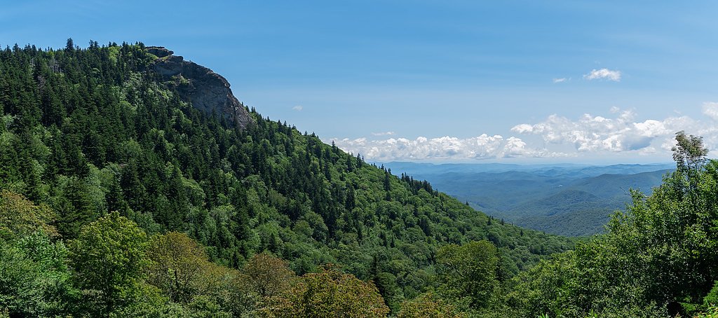
Dill Falls sits at 4,170 feet within Nantahala National Forest, in the mountains of North Carolina. The falls drop 50 feet.
Height: 50 feet
Nearby Falls Worth Visiting
Second Falls (50 ft) lies 6.1 miles to the east. Also nearby: Courthouse Falls (45 ft, 2.9 mi).
Trail & Hike Details
The Approach
The moderate hike follows Mst Pisgah Rd (#TR440-P), a 2.4-mile out-and-back trail over natural surface. Expect 350 feet of elevation gain. The trail is developed (Class 3).
USFS Trail
MST - PISGAH RD #TR440-P
Trail Class
Developed
Surface
USFS Segment
3.67 miTrail Description
The trail to Dill Falls is a short and easy hike through a forested area. The path is well-defined but may be muddy or slippery after rain. The trail leads directly to the base of the falls, offering excellent views and photo opportunities.
What to Expect
The falls drop 50 feet. Dogs are welcome.
Accessibility
The trail is not wheelchair accessible. Uneven terrain and elevation changes require steady footing.
Frequently Asked Questions
🐶 Are Dogs Allowed at Dill Falls?
✅ Dogs are allowed
Are There Any Fees or Permits Required?
🆖 No fees required
🏊 Is There Swimming at Dill Falls?
❌ Swimming is not allowed
When to Visit
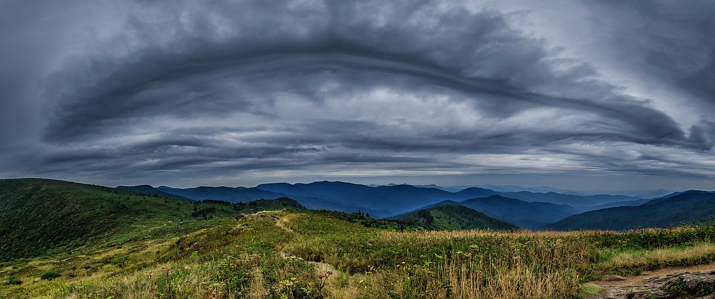
Spring and early summer are ideal for visiting Dill Falls, as the water flow is typically strongest during these seasons. Fall offers beautiful foliage, while winter provides a quieter experience, though road access may be limited.
Seasonal Access
The best time to visit is Spring, Summer, and Fall. Winter access may be limited. Check with Nantahala National Forest for seasonal road closures.
Safety Information
Exercise caution on the trail, especially after rain, as it can be slippery. The unpaved access road may require a high-clearance vehicle. Always let someone know your plans before heading out.
Current Water Conditions
43 ft³/s
Current discharge — how much water is flowing
About average for this time of year
Based on 72 years of record
1.07 ft
Water depth at gauge
66°F
CoolRefreshing for swimming
7-Day Discharge Trend
What does this mean for your visit?
Flow is about average for this time of year. Water temperature is a refreshing 66 degrees F, good for a quick swim.
About This Gauge
This gauge is on a nearby waterway and may not reflect exact conditions at the falls.
7-Day Flow Outlook
Based on the USGS gauge W F PIGEON R ABOVE LAKE LOGAN NR HAZELWOOD, NC (12 km away).
Today
Roaring
51 cfs
6/10Tomorrow
Roaring
58 cfs
6/10Wed
Roaring
55 cfs
6/10Thu
Roaring
52 cfs
6/10Fri
Roaring
57 cfs
6/10Sat
Roaring
52 cfs
6/10Sun
Roaring
52 cfs
6/10Best window: Today — roaring flow, chance showers and thunderstorms (trip score 6/10).
Best time of year: this gauge typically runs highest from mid February to late April, peaking in March.
How we calculate this
This is a transparent outlook, not a precise forecast. We take the waterfall's current flow strength (how it ranks against its historical normal for today, from the nearest USGS stream gauge), carry that ranking forward along the gauge's seasonal curve, and nudge it for forecast rain. Confidence is highest for the next day or two and falls further out. Always check official conditions and your own judgment before visiting — high flows can be dangerous.
Know when to go.
Get a free email alert when waterfalls near Brevard hit peak flow. We only send when conditions are worth the trip — no weekly newsletters, no spam.
Weather Forecast
Location & Access
Getting There
Dill Falls is located off Forest Service Road 4663 in the Nantahala National Forest. The road is unpaved and may require a high-clearance vehicle, especially after heavy rains. Visitors typically park near the trailhead and hike a short distance to the falls.
Get Directions on Google MapsParking
Limited parking is available near the trailhead on Forest Service Road 4663. Parking is free but may be challenging during peak seasons.
Elevation
4,170 feet above sea level
Coordinates
35.283992° N, -82.943467° W
Land Management
Managed by USFS
Visitor Tips & Gear
Visit early in the day to avoid crowds and secure parking. Wear sturdy shoes, as the trail can be muddy. Check road conditions before heading out, as the unpaved access road can become difficult to navigate after rain.
As an Amazon Associate, we earn from qualifying purchases.
With 2.4 miles and 350 ft of elevation gain, sturdy boots and trekking poles will help on this moderate trail. Sun exposure on the trail makes good sun protection a must in summer.

Polarized Sunglasses (Knockaround)
Cuts glare off the water so you actually see the falls — and your photos turn out better too.

Columbia Watertight II Rain Jacket
Packs into its own pocket, seam-sealed, and keeps you dry from spray and surprise rain.

Earth Pak Waterproof Dry Bag
Keeps your phone and gear dry when waterfall mist soaks everything else.

Waterproof Phone Pouch (AiRunTech)
Cheap insurance — take photos right next to the falls without killing your phone.

Timberland Euro Sprint Mid Waterproof
Trusted waterproof boot with premium leather and grippy rubber sole — reliable on rocky, wet trails.

TrailBuddy Trekking Poles
Lightweight aluminum, cork grips, and flip-locks that actually hold — a best-seller for good reason.
Where to Stay

Hampton Inn Brevard

Comfort Inn & Suites Brevard North

Holiday Inn Express - Brevard by IHG

Foxhunt at Sapphire Valley
Browse vacation cabins and private rentals nearby
Unique outdoor stays — tents, yurts, and treehouses
Rent a campervan or RV for your waterfall road trip
Some links are affiliate links. We may earn a commission at no extra cost to you.
Nearby Campground
BALSAM LAKE LODGE
4.4 miles away · 1 sites
Overview Balsam Lake Lodge is nestled in the center of the 39,000-acre Roy Taylor Forest within the Nantahala National Forest. The lodge overlooks Balsam Lake and offers spectacular mountain views.The lodge opened its doors to the public when the Forest Service acquired the dwelling and lake in 1982. Since then groups have rented the lodge for meetings, recreation and environmental activities. NOTE: Balsam Lake Lodge is not a campground and has no campsites available for sewer, water, or electric
Book on Recreation.govNearby Hot Springs
Hot springs near Brevard, North Carolina

Looking for a soak after your hike? Explore more hot springs near Brevard, North Carolina on SoakingSprings.
Explore North Carolina springsAdditional Information
Nearby Attractions
Nearby attractions include Courthouse Falls, another beautiful waterfall in the area, and the Blue Ridge Parkway, which offers stunning scenic drives.
Wildlife
The area is home to a variety of wildlife, including birds, deer, and small mammals. Be cautious of snakes and other potentially hazardous animals.
Cities near Dill Falls
Nearby Waterfalls
Writing about Dill Falls? Embed this waterfall on your site for free.