
Photo Credits (5)
Difficulty
Easy
Trail Length
2.0 miles
Trail Type
Out And Back
Elevation Gain
200 ft
About Darwin Falls
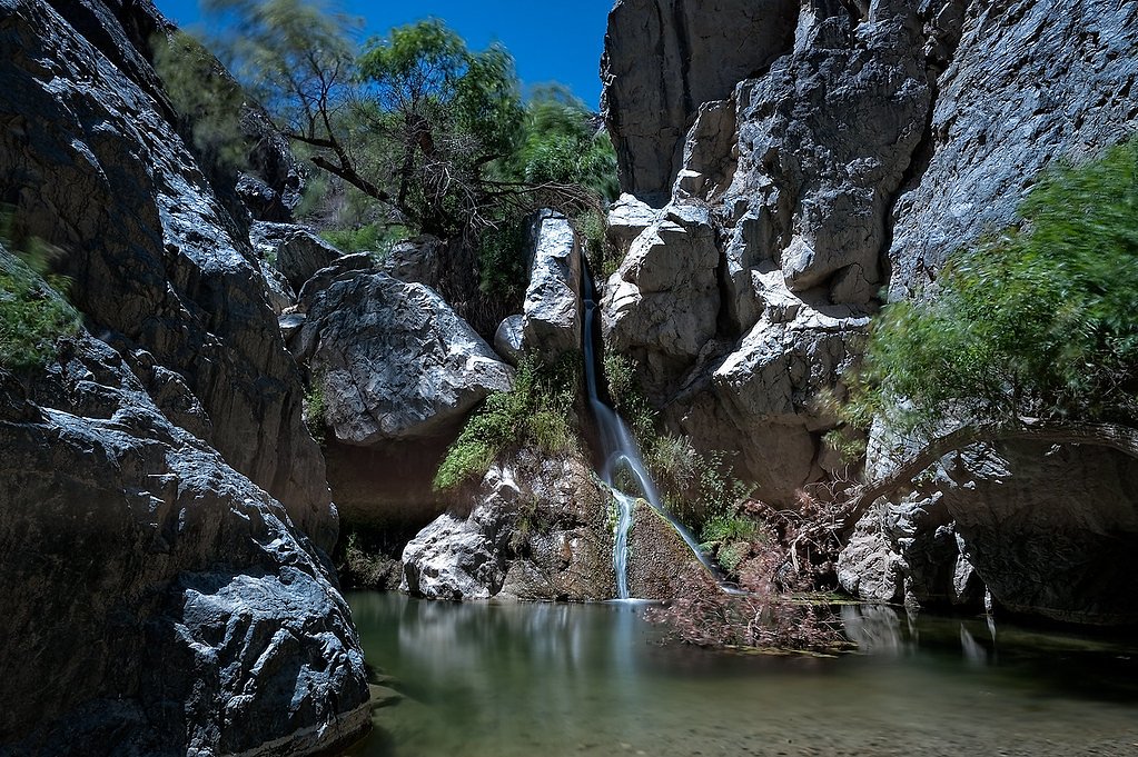
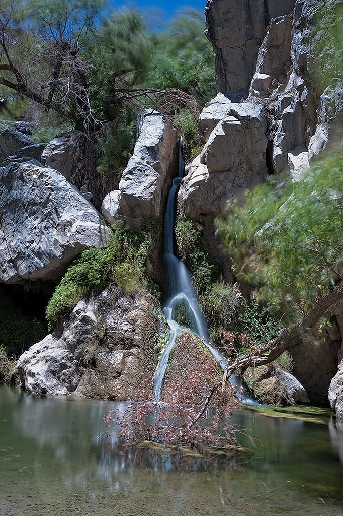
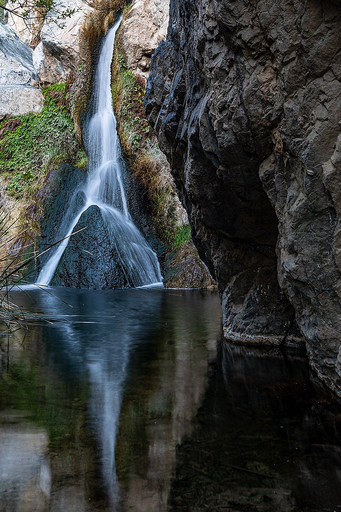
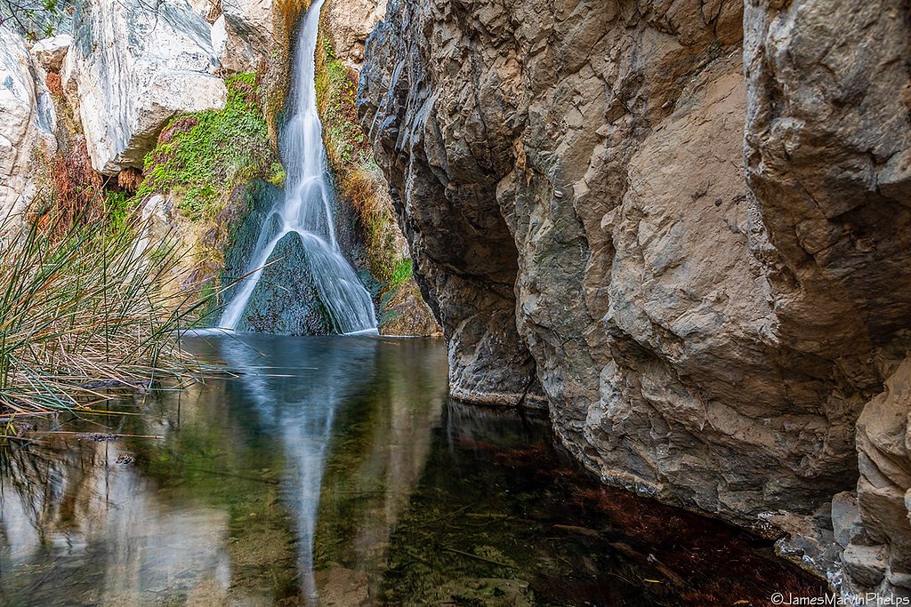
Darwin Falls is a rare year-round waterfall located in Death Valley National Park, California. It is an oasis in the desert, surrounded by lush vegetation and fed by a perennial spring, making it a unique and serene destination in an otherwise arid environment.
The Setting
Darwin Falls sits at 2,789 feet within Death Valley National Park, in the hills of California.
Trail & Hike Details
The Approach
The easy 2.0-mile out-and-back trail gains 200 feet of elevation on the way to the falls.
Trail Description
The trail to Darwin Falls is a relatively short and easy hike through a desert canyon. The path follows a stream and becomes increasingly lush as you approach the waterfall. Expect some minor rock scrambling and stream crossings near the end of the trail.
What to Expect
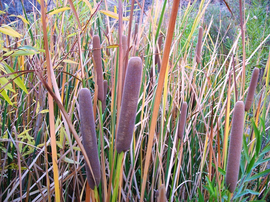
Visitors can expect a surprising oasis in the desert, with lush greenery, flowing water, and a tranquil waterfall. The area is home to unique flora and fauna, making it a peaceful and picturesque destination.
Accessibility
The trail is not wheelchair accessible. Uneven terrain and elevation changes require steady footing.
Frequently Asked Questions
🐶 Are Dogs Allowed at Darwin Falls?
❌ Dogs are not allowed
Are There Any Fees or Permits Required?
🤑 Fee: $30.00
🏊 Is There Swimming at Darwin Falls?
❌ Swimming is not allowed
When to Visit
Spring and fall are the best times to visit due to mild temperatures. Winter is also a good option, but avoid visiting during or after heavy rain, as the access road may become impassable.
Seasonal Access
The best time to visit is Spring, Fall, and Winter. Check the National Park Service website for current conditions.
Safety Information
Be cautious of slippery rocks near the waterfall. Avoid visiting during extreme heat or after heavy rain, as flash floods may occur. Always carry sufficient water and let someone know your plans.
Know when to go.
Get a free email alert when waterfalls near Darwin hit peak flow. We only send when conditions are worth the trip — no weekly newsletters, no spam.
Weather Forecast
The Terrain, Seen by LiDAR
Aircraft-mounted lasers measured this ground to within inches. Trees and buildings are digitally stripped away, leaving the bare shape of the land the water has carved.
Through the falls the surface drops roughly 326 feet over a short, steep run of tiers. Elevation at the pin is about 2,736 feet.
Steep ground runs through the entire stretch: about 200 feet of descent in the 500 feet above the pin and 307 feet in the 500 feet below it. Facing northeast, the falls catch soft morning light.
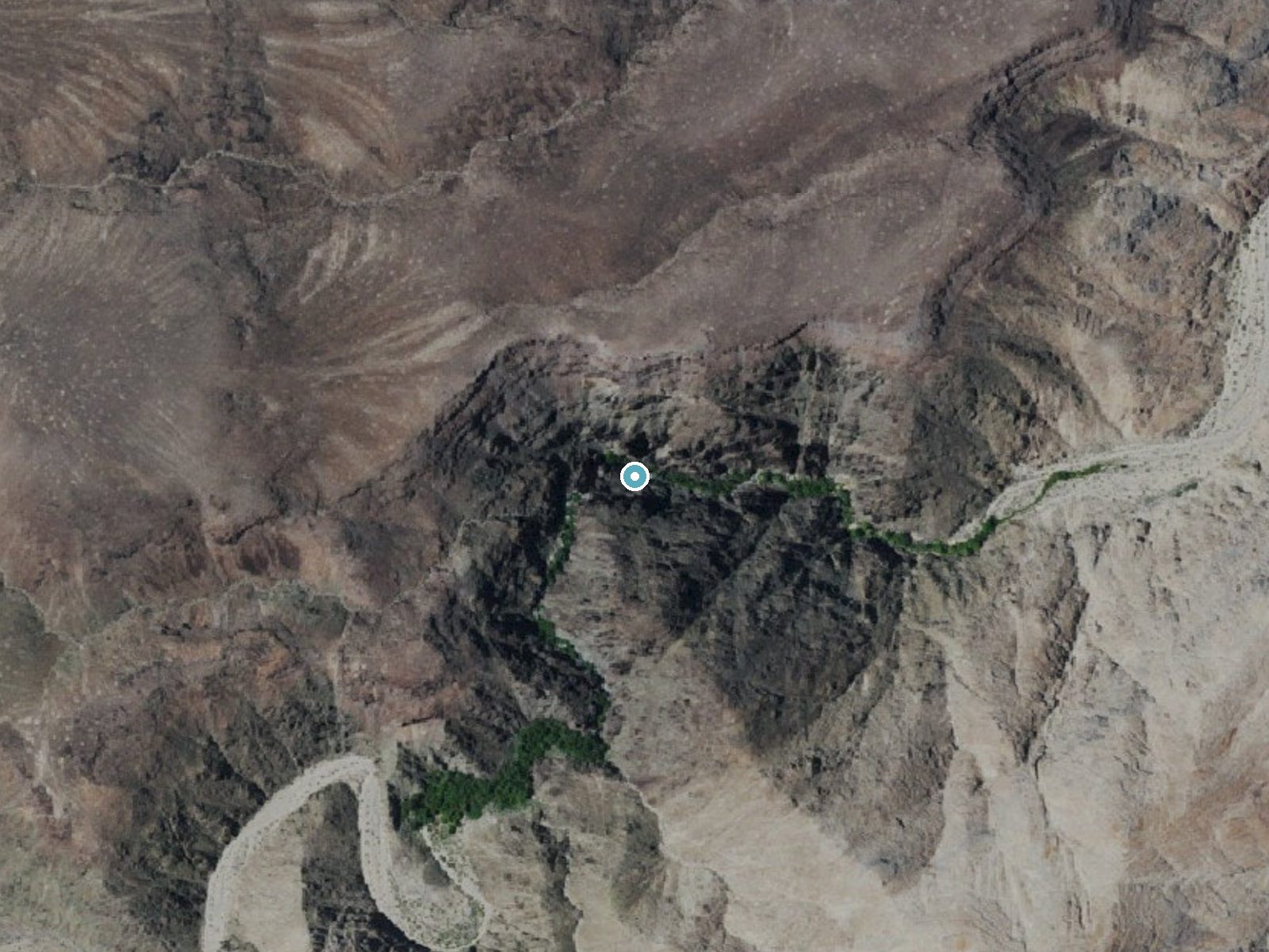
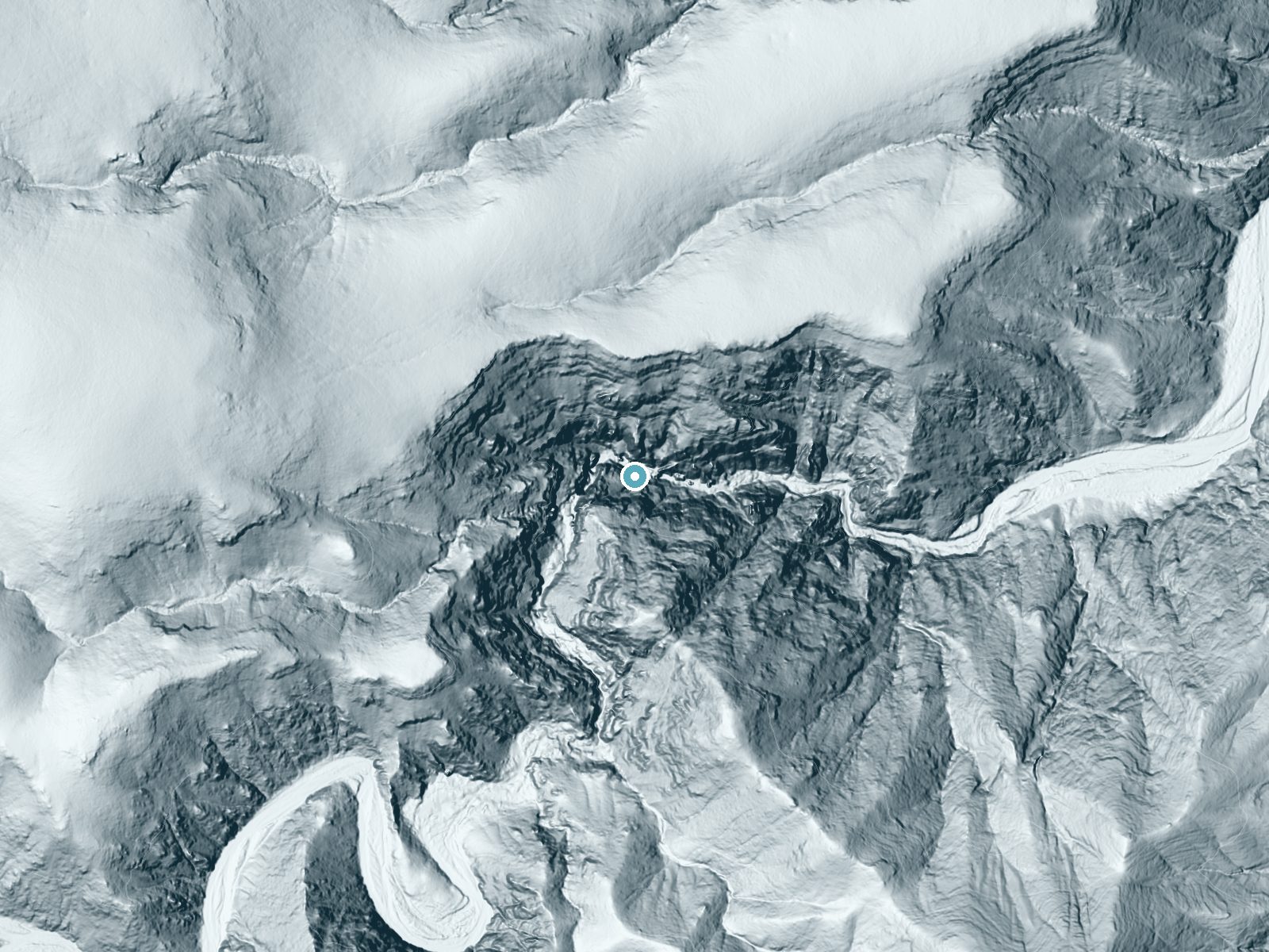
Drag to compare. The dot marks the waterfall. The frame is about a mile across.
- Ground elevation
- 2,736 feet
- Measured by 1-meter lidar
- Drop at the falls
- About 326 feet
- Change in ground height within ~250 feet of the falls
- Faces
- Northeast
- Catches soft morning light.
A slice through the lidar ground surface, from above the falls to downstream (heading northeast).
Elevation data: USGS 3D Elevation Program. Aerial imagery: USGS The National Map. Public domain.
Location & Access
Getting There
Darwin Falls is located near Panamint Springs in Death Valley National Park. From Highway 190, take the unpaved Darwin Falls Road for about 2.5 miles to the trailhead. A high-clearance vehicle is recommended, especially after rain.
Get Directions on Google MapsParking
There is a small parking area at the trailhead, but space may be limited during peak times.
Elevation
2,789 feet above sea level
Coordinates
36.320774° N, -117.524510° W
Land Management
Managed by NPS
Visitor Tips & Gear
Wear sturdy shoes with good grip, as the trail can be rocky and slippery near the waterfall. Bring plenty of water, as the desert environment can be hot and dry. Avoid visiting during extreme summer heat.
As an Amazon Associate, we earn from qualifying purchases.
This easy 2.0 miles hike is straightforward — comfortable trail shoes and plenty of water should do. Icy conditions are common in winter — traction cleats are a smart addition.
America the Beautiful Annual Pass
Covers entrance fees at 2,000+ federal recreation sites — required at most National Parks.

Columbia Watertight II Rain Jacket
Packs into its own pocket, seam-sealed, and keeps you dry from spray and surprise rain.

Earth Pak Waterproof Dry Bag
Keeps your phone and gear dry when waterfall mist soaks everything else.

Waterproof Phone Pouch (AiRunTech)
Cheap insurance — take photos right next to the falls without killing your phone.

Kahtoola MICROspikes
Cult-favorite traction cleats that grip ice and wet rock — essential for winter waterfall hikes.

JOBY GorillaPod Starter Kit
Wraps around railings and rocks for long-exposure waterfall shots — no flat surface needed.

Polarized Sunglasses (Knockaround)
Cuts glare off the water so you actually see the falls — and your photos turn out better too.
Where to Stay
Panamint Springs Motel & Tents
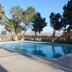
Olancha RV Park and Motel
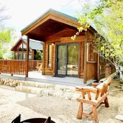
Cozy Mountain-Style Cabin with Scenic Sierra Nevada Views Near Lone Pine, California
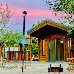
Boulder Creek RV Resort
Browse vacation cabins and private rentals nearby
Unique outdoor stays — tents, yurts, and treehouses
Rent a campervan or RV for your waterfall road trip
Some links are affiliate links. We may earn a commission at no extra cost to you.
Nearby Hot Springs
Hot springs near Darwin Falls, California

Dirty Socks Hot Spring
Dirty Socks Hot Spring emerges at 93°F from the Owens Valley floor, named for the distinctive sulfurous odor that has defined t...
Warm Sulphur Springs
Warm Sulphur Springs emerges at 80°F in the northern Mojave Desert near Searles Valley, flowing only 5.7 degrees above the scor...

Coso Hot Springs
Coso Hot Springs surges from the earth at an extreme 207°F (97°C) within the Coso Volcanic Field, representing one of Californi...

Springs
This 86-degree spring emerges at 3,601 feet in the arid Owens Valley, where the City of Los Angeles owns vast tracts of land fo...
Devils Kitchen
Devils Kitchen emerges at an extreme 207°F from volcanic terrain within Naval Air Weapons Station China Lake, featuring some of...
Fumarole
Fumarole emerges at an extraordinary 203°F within the restricted Naval Air Weapons Station China Lake at 4,280 feet elevation, ...
Looking for a soak after your hike? Explore more hot springs near Darwin Falls, California on SoakingSprings.
Explore California springsAdditional Information
Nearby Attractions
Panamint Springs, Father Crowley Vista Point, Mesquite Flat Sand Dunes
Wildlife
The area around Darwin Falls is home to birds, lizards, and other desert wildlife. Keep an eye out for unique species that thrive in this oasis environment.
Writing about Darwin Falls? Embed this waterfall on your site for free.