Cowlitz Falls
By Armen Suny · Last verified Mar 2026
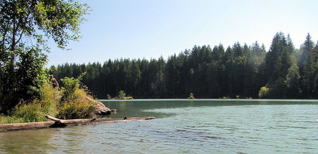
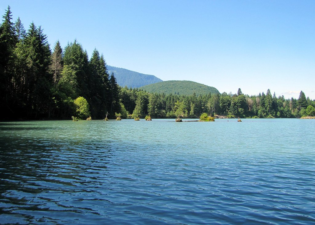
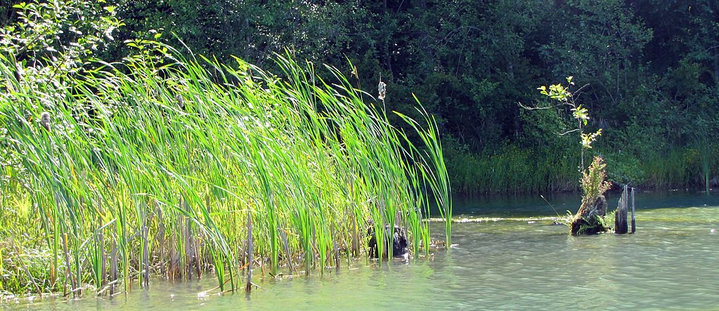
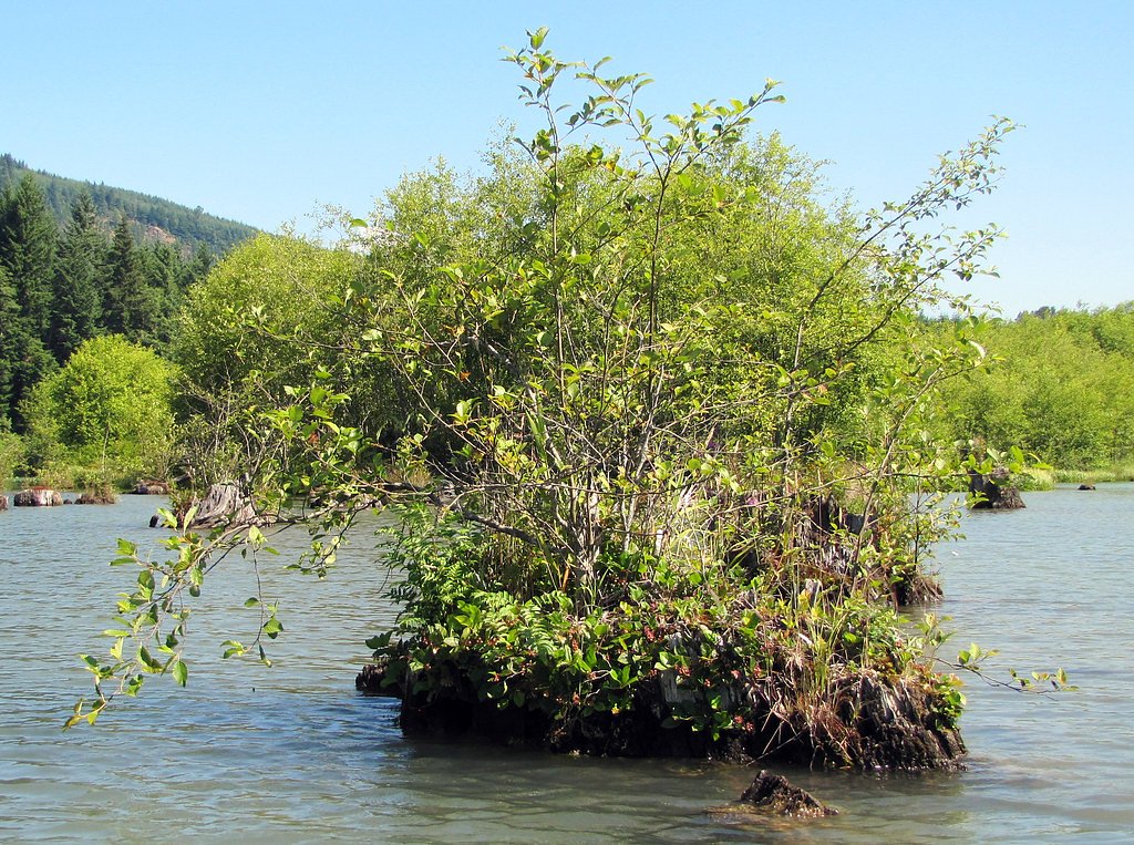
Photo Credits (5)
Difficulty
Moderate
Trail Length
2.4 miles
Trail Type
Out And Back
Elevation Gain
350 ft
About Cowlitz Falls
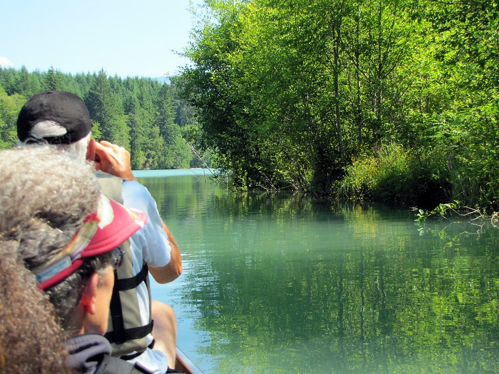
Cowlitz Falls sits along the Cowlitz River in Lewis County, Washington, and is a striking example of a human-made cascade created by the Cowlitz Falls Hydroelectric Project. Rather than a natural drop, the falls are formed by dam operations and are best enjoyed from nearby viewpoints and recreation areas that frame the river and the engineered spillways. Because the falls are part of an active hydroelectric facility, recreational access can be intermittent—check local notices before you go. For those wanting a short hike and some river scenery, a 2.4-mile out-and-back route brings you into the vicinity with roughly 350 feet of elevation gain and a moderate effort level. The nearest developed camping is Iron Creek Campground, about 10.06 km away, making Cowlitz Falls a good day-trip destination for photographers and families who want an easy to moderate outing without a long backcountry push.
The Setting
Cowlitz Falls sits at 866 feet along the Cowlitz River, in the foothills of Washington.
Trail & Hike Details
The Approach
The moderate 2.4-mile out-and-back trail gains 350 feet of elevation on the way to the falls.
Trail Description
Out-and-back trail, 2.4 miles round trip with approximately 350 feet of elevation gain; rated moderate. Trail surface, grade, and class are not specified in the provided data. Visitors typically view the falls from designated viewpoints or nearby recreation areas; access may be limited at times due to the hydroelectric project, so check local access information before hiking.
What to Expect
Expect to see a man-made waterfall created by the Cowlitz Falls Dam. The area offers scenic views of the surrounding river and forested landscape. The falls are not natural but are still a point of interest for visitors exploring the region.
Accessibility
The trail is not wheelchair accessible. Uneven terrain and elevation changes require steady footing.
Frequently Asked Questions
🐶 Are Dogs Allowed at Cowlitz Falls?
❌ Dogs are not allowed
Are There Any Fees or Permits Required?
🆖 No fees required
🏊 Is There Swimming at Cowlitz Falls?
❌ Swimming is not allowed
When to Visit
Spring and summer are the best times to visit, as the weather is typically pleasant, and the surrounding area is lush and green.
Seasonal Access
The best time to visit is Spring, Summer, and Fall. Winter access may be limited.
Safety Information
Exercise caution near the dam and river. Follow all posted signs and avoid restricted areas. Water levels and currents may be dangerous.
Current Water Conditions
2,250 ft³/s
Current discharge — how much water is flowing
Much lower than usual for this time of year
Based on 77 years of record
7-Day Discharge Trend
What does this mean for your visit?
Flow is well below normal for this time of year, so the waterfall may be a trickle.
About This Gauge
7-Day Flow Outlook
Based on the USGS gauge COWLITZ RIVER NEAR KOSMOS, WA (0 km away).
Today
Low
2430 cfs
4/10Tomorrow
Moderate
2609 cfs
4/10Sat
Moderate
2655 cfs
4/10Sun
Low
2463 cfs
4/10Mon
Low
2322 cfs
4/10Tue
Low
2196 cfs
4/10Wed
Low
2148 cfs
4/10Best window: Today — low flow, mostly cloudy then slight chance light rain (trip score 4/10).
Best time of year: this gauge typically runs highest from early April to late June, peaking in June.
How we calculate this
This is a transparent outlook, not a precise forecast. We take the waterfall's current flow strength (how it ranks against its historical normal for today, from the nearest USGS stream gauge), carry that ranking forward along the gauge's seasonal curve, and nudge it for forecast rain. Confidence is highest for the next day or two and falls further out. Always check official conditions and your own judgment before visiting — high flows can be dangerous.
Know when to go.
Get a free email alert when waterfalls near Morton hit peak flow. We only send when conditions are worth the trip — no weekly newsletters, no spam.
Weather Forecast
Location & Access
Getting There
Cowlitz Falls is located near the town of Randle, Washington. Visitors can access the area by taking US-12 and following signs to the Cowlitz Falls Dam. The waterfall is part of the hydroelectric project and may be visible from nearby viewpoints.
Get Directions on Google MapsParking
Parking is available near the Cowlitz Falls Dam area, but specific details about parking capacity or fees are not confirmed.
Elevation
866 feet above sea level
Coordinates
46.465944° N, -122.107319° W
Visitor Tips & Gear
Check with local authorities or the hydroelectric project for access details before visiting. Bring binoculars or a camera to capture the scenic views. Be aware of restricted areas near the dam.
As an Amazon Associate, we earn from qualifying purchases.
With 2.4 miles and 350 ft of elevation gain, sturdy boots and trekking poles will help on this moderate trail. Sun exposure on the trail makes good sun protection a must in summer.

Polarized Sunglasses (Knockaround)
Cuts glare off the water so you actually see the falls — and your photos turn out better too.

Columbia Watertight II Rain Jacket
Packs into its own pocket, seam-sealed, and keeps you dry from spray and surprise rain.

Earth Pak Waterproof Dry Bag
Keeps your phone and gear dry when waterfall mist soaks everything else.

Waterproof Phone Pouch (AiRunTech)
Cheap insurance — take photos right next to the falls without killing your phone.

Timberland Euro Sprint Mid Waterproof
Trusted waterproof boot with premium leather and grippy rubber sole — reliable on rocky, wet trails.

TrailBuddy Trekking Poles
Lightweight aluminum, cork grips, and flip-locks that actually hold — a best-seller for good reason.
Where to Stay

Mountain Meadows Inn & Chalet Suites

Rainier Spa Cabin 7 Minutes to Park

Lafa Cabin - Luxe A Frame Retreat with Hot Tub, Sauna, Firepit- 5 Min to Mt Rainier

Blackberry Bunkhouse
Browse vacation cabins and private rentals nearby
Unique outdoor stays — tents, yurts, and treehouses
Rent a campervan or RV for your waterfall road trip
Some links are affiliate links. We may earn a commission at no extra cost to you.
Nearby Campground
Iron Creek Campground
6.3 miles away · 99 sites
Overview Iron Creek Campground sits near the confluence of Iron Creek and the Cispus River. This large campground winds through a forest of old-growth Douglas firs, cedars and hemlock. Lush vegetation and ample space between sites offers excellent privacy. Recreation Iron Creek provides great fishing for cutthroat trout, whitefish and rainbow trout. Visitors can stroll along the .3-mile Iron Creek Old Growth Trail and weave through the forest and along the Cispus River, or continue on a longer wa
Book on Recreation.govNearby Hot Springs
Hot springs near Morton, Washington
Green River Soda Spring
Green River Soda Spring produces 86-degree carbonated water at 1,644 feet elevation, flowing 37.5 degrees above ambient tempera...

Mt St Helens Fumaroles
Mount St. Helens fumaroles reach 190 degrees at 6,906 feet elevation on the crater rim, emerging 159.1 degrees above ambient in...
Packwood Hot Spring
Packwood Hot Spring flows at 100 degrees at 1,002 feet elevation in the lower Cascade foothills near Morton, emerging 49.8 degr...

Longmire Mineral Springs
Longmire Mineral Springs flows at 77 degrees within Mount Rainier National Park at 2,758 feet elevation, emerging 31.9 degrees ...
Orr Creek Warm Springs
Orr Creek Warm Springs emerges at 72 degrees in the Gifford Pinchot National Forest at 2,910 feet elevation, flowing 26.5 degre...

Mt Rainier Fumaroles
Mount Rainier fumaroles reach 162 degrees at 14,217 feet elevation, emerging 154.8 degrees above ambient at Washington's highes...
Looking for a soak after your hike? Explore more hot springs near Morton, Washington on SoakingSprings.
Explore Washington springsAdditional Information
Nearby Attractions
Nearby attractions include Mount Rainier National Park, Gifford Pinchot National Forest, and the town of Randle.
Wildlife
The area around the Cowlitz River is home to various wildlife, including birds, deer, and fish. Visitors may spot bald eagles or other bird species.
Cities near Cowlitz Falls
Writing about Cowlitz Falls? Embed this waterfall on your site for free.