Columbine Falls
Arizona • Grand Canyon National Park
By Armen Suny · Last verified May 2026
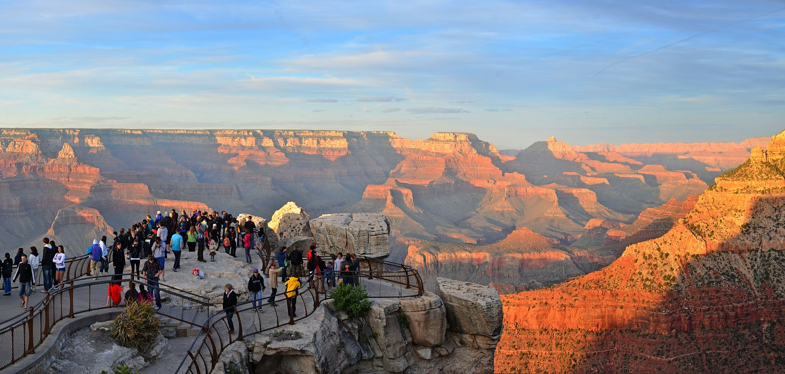
Photo Credits (5)
Difficulty
Moderate
Trail Length
2.0 miles
Trail Type
Out And Back
Elevation Gain
500 ft
About Columbine Falls
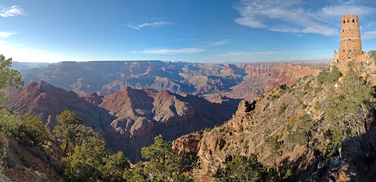
Columbine Falls is a seasonal cascade tucked inside Grand Canyon National Park and managed by the National Park Service. The falls are at their most photogenic in spring and early summer when snowmelt and seasonal runoff swell the flow, creating a short-lived but rewarding spectacle against the surrounding canyon scenery. Expect a peaceful, nature-focused outing rather than an all-season attraction. The approach feels like a classic Southwestern hike — intimate, scenic, and best enjoyed soon after rains or snowmelt. Because the site lies within Grand Canyon National Park, visitors should follow NPS guidelines for backcountry travel and Leave No Trace practices while enjoying the falls and nearby viewpoints.
The Setting
Columbine Falls sits at 1,207 feet within Grand Canyon National Park, fed by the Spencer Creek, in the foothills of Arizona.
Trail & Hike Details
The Approach
The moderate 2.0-mile out-and-back trail gains 500 feet of elevation on the way to the falls.
Trail Description
The trail to Columbine Falls is an out-and-back route of about 2.0 miles round trip with roughly 500 feet of elevation gain; it’s rated moderate. Hikers can expect a relatively short but steady climb — suitable for fit beginners and experienced day-hikers — with enough grade to get your heart rate up while rewarding you with canyon views and the seasonal waterfall at the turnaround. Trail surface, technical class, and formal USFS trail number are not provided in the available data, so check current NPS trail conditions or park maps before you go.
What to Expect
Dogs are welcome.
Accessibility
The trail is not wheelchair accessible. Uneven terrain and elevation changes require steady footing.
Frequently Asked Questions
🐶 Are Dogs Allowed at Columbine Falls?
✅ Dogs are allowed
Are There Any Fees or Permits Required?
🤑 Fee: $5.00
🏊 Is There Swimming at Columbine Falls?
❌ Swimming is not allowed
When to Visit
The best time to visit Columbine Falls is during the spring or early summer when the waterfall is most likely to be flowing. Fall can also be a pleasant time to hike, but the falls may be dry.
Seasonal Access
The best time to visit is Spring, Summer, and Fall. Winter access may be limited. Watch for flash flood warnings during monsoon season (July through September). Check with Grand Canyon National Park for current conditions.
Safety Information
Hikers should be prepared for changing weather conditions and carry sufficient water. Watch for loose rocks and slippery surfaces near the falls. Avoid hiking during extreme heat or after heavy rainfall, as flash flooding may occur.
Current Water Conditions
Based on a USGS gauge 25.1 miles away
2 ft³/s
Current discharge — how much water is flowing
About average for this time of year
Based on 28 years of record
3.42 ft
Water depth at gauge
7-Day Discharge Trend
What does this mean for your visit?
Flow is about average for this time of year.
About This Gauge
This gauge is on a regional waterway. Conditions at the falls may differ, especially after local rain.
7-Day Flow Outlook
Based on the USGS gauge SPENCER CREEK NEAR PEACH SPRINGS, AZ (40 km away).
Today
Moderate
2 cfs
8/10Tomorrow
Moderate
2 cfs
8/10Mon
Moderate
2 cfs
8/10Tue
Moderate
2 cfs
8/10Wed
Moderate
2 cfs
8/10Thu
Moderate
2 cfs
8/10Fri
Moderate
2 cfs
8/10Best window: Today — moderate flow, sunny (trip score 8/10).
How we calculate this
This is a transparent outlook, not a precise forecast. We take the waterfall's current flow strength (how it ranks against its historical normal for today, from the nearest USGS stream gauge), carry that ranking forward along the gauge's seasonal curve, and nudge it for forecast rain. Confidence is highest for the next day or two and falls further out. Always check official conditions and your own judgment before visiting — high flows can be dangerous.
Know when to go.
Get a free email alert when waterfalls near Meadview hit peak flow. We only send when conditions are worth the trip — no weekly newsletters, no spam.
Weather Forecast
Location & Access
Getting There
Columbine Falls is located near Mount Lemmon in the Santa Catalina Mountains. Access is typically via the Catalina Highway (also known as the Mount Lemmon Scenic Byway). Specific trailheads leading to the falls may vary, and visitors should consult local maps or ranger stations for the most accurate directions.
Get Directions on Google MapsParking
Parking is available at designated trailheads along the Catalina Highway. Availability may vary depending on the season and visitor volume.
Elevation
1,207 feet above sea level
Coordinates
36.092673° N, -113.921809° W
Land Management
Managed by NPS
Visitor Tips & Gear
Wear sturdy hiking shoes, bring plenty of water, and check weather conditions before heading out. Cell service may be limited in the area, so plan accordingly.
As an Amazon Associate, we earn from qualifying purchases.
With 2.0 miles and 500 ft of elevation gain, sturdy boots and trekking poles will help on this moderate trail. Sun exposure on the trail makes good sun protection a must in summer.
America the Beautiful Annual Pass
Covers entrance fees at 2,000+ federal recreation sites — required at most National Parks.

Polarized Sunglasses (Knockaround)
Cuts glare off the water so you actually see the falls — and your photos turn out better too.

Columbia Watertight II Rain Jacket
Packs into its own pocket, seam-sealed, and keeps you dry from spray and surprise rain.

Earth Pak Waterproof Dry Bag
Keeps your phone and gear dry when waterfall mist soaks everything else.

Waterproof Phone Pouch (AiRunTech)
Cheap insurance — take photos right next to the falls without killing your phone.

Timberland Euro Sprint Mid Waterproof
Trusted waterproof boot with premium leather and grippy rubber sole — reliable on rocky, wet trails.

TrailBuddy Trekking Poles
Lightweight aluminum, cork grips, and flip-locks that actually hold — a best-seller for good reason.
Where to Stay

Cabins at Grand Canyon West

Grand Canyon Western Ranch

Modern Cabin with Arcade, Foosball Table and Fire Pit in Meadview, Arizona

Rare four Bedroom MeadviewVacation Home - Grand Canyon West-Skywalk
Browse vacation cabins and private rentals nearby
Unique outdoor stays — tents, yurts, and treehouses
Rent a campervan or RV for your waterfall road trip
Some links are affiliate links. We may earn a commission at no extra cost to you.
Nearby Hot Springs
Hot springs near Meadview, Arizona
Pakoon Springs
Pakoon Springs flows at 86°F in the remote Arizona Strip country, emerging 18 degrees above the 68°F average at 2,300 feet elev...
Pumpkin Spring
Pumpkin Spring emerges as a mineralized thermal feature in the Grand Canyon's depths, located on the Hualapai Indian Reservatio...

Rogers Spring
Rogers Spring flows at 82°F from a fault-controlled discharge point within Lake Mead National Recreation Area, just 6.9 meters ...
Blue Point Spring
Blue Point Spring emerges at 82°F inside Lake Mead National Recreation Area in Clark County, one of the lowest-elevation therma...
Springs
Within Lake Mead National Recreation Area, these 77°F springs emerge just 5 degrees above ambient air temperature in the Mojave...

Spring
An unnamed 145-degree spring flows near Boulder City at just 690 feet elevation, likely representing Gold Strike Hot Springs in...
Looking for a soak after your hike? Explore more hot springs near Meadview, Arizona on SoakingSprings.
Explore Arizona springsAdditional Information
Nearby Attractions
Nearby attractions include Mount Lemmon, the Catalina Highway Scenic Drive, and other hiking trails in the Coronado National Forest.
Wildlife
The area is home to a variety of wildlife, including birds, deer, and small mammals. Be cautious of snakes and other potentially hazardous animals.
Cities near Columbine Falls
Other waterfalls named Columbine Falls
1 other waterfall shares this name across the U.S.
Writing about Columbine Falls? Embed this waterfall on your site for free.