Colonnade Falls
Wyoming • 100 ft
By Armen Suny · Last verified Mar 2026
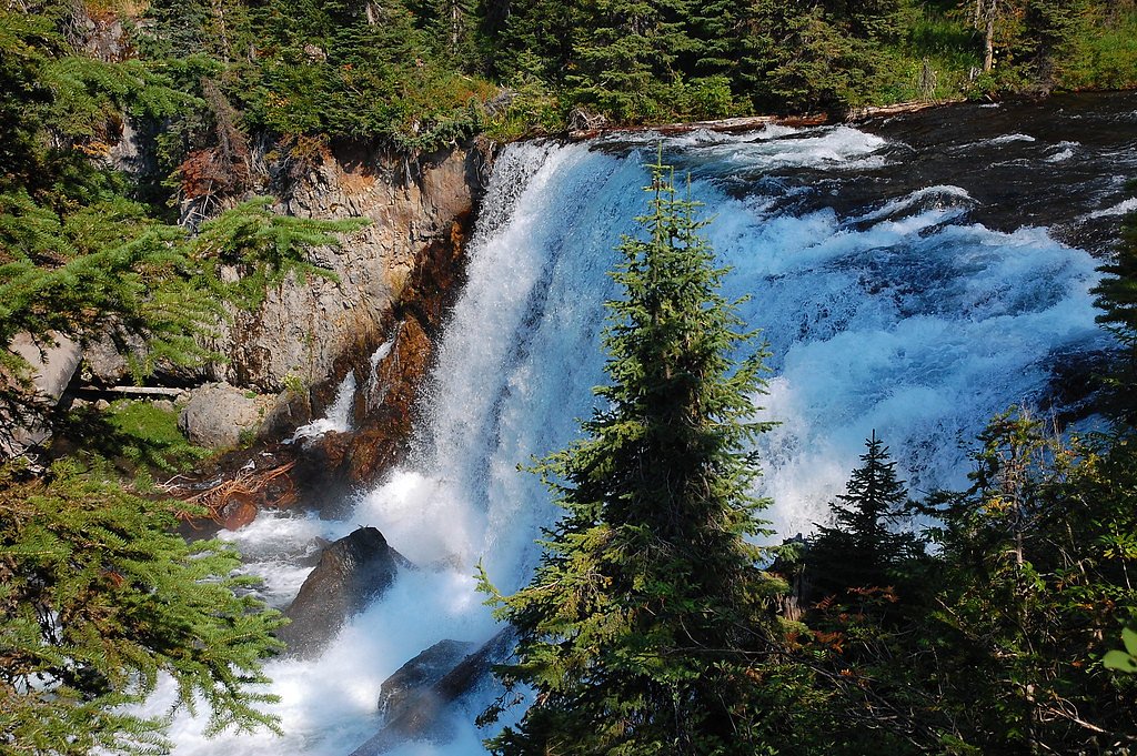
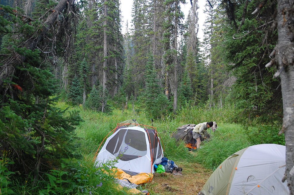
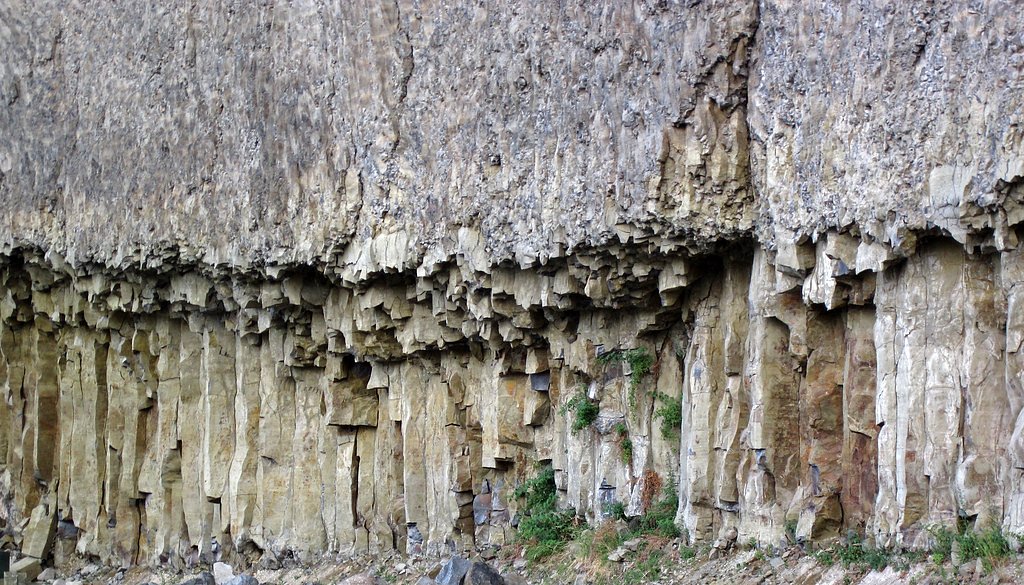
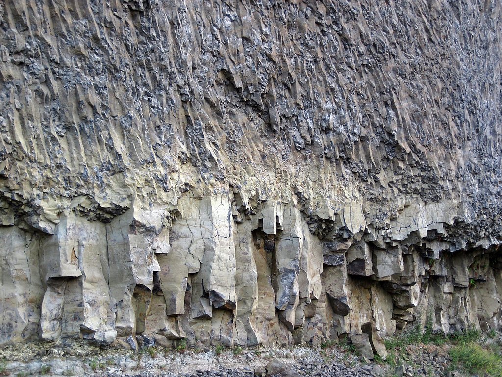
Photo Credits (5)
Difficulty
Hard
Trail Length
16.0 miles
Trail Type
Out And Back
Elevation Gain
800 ft
About Colonnade Falls
Colonnade Falls is a stunning two-tiered waterfall located in Yellowstone National Park, Wyoming. It is part of the Bechler River area, often referred to as the 'Cascade Corner' of the park due to its abundance of waterfalls. The falls are remote and require a significant hike to access, making them a rewarding destination for experienced hikers.
The Setting
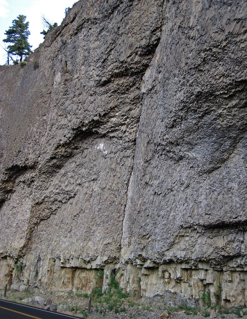
Colonnade Falls sits at 6,542 feet within Yellowstone National Park, fed by the Firehole River, in the high mountains of Wyoming. At 100 feet, it is among the taller waterfalls in Wyoming.
Height: 100 feet
Trail & Hike Details
The Approach
The hard 16.0-mile out-and-back trail gains 800 feet of elevation on the way to the falls.
Trail Description
The trail to Colonnade Falls follows the Bechler River Trail, which is known for its scenic beauty, including lush meadows, river crossings, and other waterfalls along the way. The trail is long and requires multiple river crossings, which can be challenging depending on water levels. The area is remote, so hikers should be prepared for backcountry conditions.
What to Expect
The falls cascade 100 feet.
Accessibility
The trail involves steep, uneven terrain with significant elevation change and is not accessible to mobility devices.
Frequently Asked Questions
🐶 Are Dogs Allowed at Colonnade Falls?
❌ Dogs are not allowed
Are There Any Fees or Permits Required?
🤑 Fee: $35.00
Permit required
A backcountry permit is required for overnight stays in the Bechler area. Permits can be obtained through the Yellowstone National Park website or at ranger stations.
🏊 Is There Swimming at Colonnade Falls?
❌ Swimming is not allowed
When to Visit
The best time to visit Colonnade Falls is late summer or early fall when water levels are lower, making river crossings safer. Spring and early summer may have high water levels, which can make the trail more challenging.
Seasonal Access
The best time to visit is Spring, Summer, and Fall. Access roads and trails may close during winter due to snow. Check the National Park Service website for current conditions.
Safety Information
Be prepared for river crossings, which can be dangerous during high water levels. Carry bear spray and know how to use it. Weather in Yellowstone can change rapidly, so bring appropriate clothing and gear. Inform someone of your plans before heading into the backcountry.
Current Water Conditions
Based on a USGS gauge 16.5 miles away
52 ft³/s
Current discharge — how much water is flowing
About average for this time of year
Based on 19 years of record
2.56 ft
Water depth at gauge
60°F
ColdBracing — limit time in water
7-Day Discharge Trend
What does this mean for your visit?
Flow is about average for this time of year. Water temperature is a bracing 60 degrees F, limit your time in the water.
About This Gauge
This gauge is on a regional waterway. Conditions at the falls may differ, especially after local rain.
7-Day Flow Outlook
Based on the USGS gauge Firehole River at Old Faithful, YNP (27 km away).
Today
Low
58 cfs
3/10Tomorrow
Low
54 cfs
4/10Mon
Low
56 cfs
4/10Tue
Low
52 cfs
3/10Wed
Low
51 cfs
3/10Thu
Barely Flowing
43 cfs
5/10Fri
Low
45 cfs
3/10Best window: Thu — barely flowing flow, sunny (trip score 5/10).
Best time of year: this gauge typically runs highest from late April to mid July, peaking in June.
How we calculate this
This is a transparent outlook, not a precise forecast. We take the waterfall's current flow strength (how it ranks against its historical normal for today, from the nearest USGS stream gauge), carry that ranking forward along the gauge's seasonal curve, and nudge it for forecast rain. Confidence is highest for the next day or two and falls further out. Always check official conditions and your own judgment before visiting — high flows can be dangerous.
Know when to go.
Get a free email alert when waterfalls near Alta hit peak flow. We only send when conditions are worth the trip — no weekly newsletters, no spam.
Weather Forecast
Location & Access
Getting There
Colonnade Falls is located in the southwestern part of Yellowstone National Park. The falls are accessed via the Bechler River Trail, which begins at the Bechler Ranger Station. This area is remote and requires careful planning to reach.
Get Directions on Google MapsParking
Parking is available at the Bechler Ranger Station, which serves as the trailhead for the Bechler River Trail.
Elevation
6,542 feet above sea level
Coordinates
44.238539° N, -110.947993° W
Land Management
Managed by NPS
Visitor Tips & Gear
Plan your trip carefully, as the Bechler area is remote and requires backcountry hiking experience. Bring appropriate gear, including waterproof footwear for river crossings. Check with the Bechler Ranger Station for current trail conditions and water levels before starting your hike.
This trail sits at 6,542 ft above sea level
Elevated TrailUV radiation is roughly 26% stronger at this elevation than at sea level, and the dry air accelerates dehydration. Extra sun protection and fluids go a long way.
As an Amazon Associate, we earn from qualifying purchases.

Coppertone Sport SPF 50 Sunscreen
UV intensity jumps ~4% per 1,000 ft — at this elevation you can burn in half the time.

Sun Bum SPF 30 Lip Balm (3-Pack)
Lips have almost no natural UV protection and burn fast in thin, dry mountain air.

Liquid I.V. Electrolyte Packets
You lose moisture ~2x faster at elevation — electrolytes help you absorb water efficiently.

ROCKNIGHT Polarized UV400 Sunglasses
High-altitude glare off rock and water is intense — UV400 lenses block 99%+ of UVA/UVB.
As an Amazon Associate, we earn from qualifying purchases.
This challenging 16.0 miles trail gains 800 ft in elevation — come prepared with proper hiking boots and trekking poles. Sun exposure on the trail makes good sun protection a must in summer.
America the Beautiful Annual Pass
Covers entrance fees at 2,000+ federal recreation sites — required at most National Parks.

Sawyer Squeeze Water Filter
The backcountry standard — filters 99.9% of bacteria and weighs just 3 oz.

Polarized Sunglasses (Knockaround)
Cuts glare off the water so you actually see the falls — and your photos turn out better too.

Columbia Watertight II Rain Jacket
Packs into its own pocket, seam-sealed, and keeps you dry from spray and surprise rain.

Earth Pak Waterproof Dry Bag
Keeps your phone and gear dry when waterfall mist soaks everything else.

Waterproof Phone Pouch (AiRunTech)
Cheap insurance — take photos right next to the falls without killing your phone.

Timberland Euro Sprint Mid Waterproof
Trusted waterproof boot with premium leather and grippy rubber sole — reliable on rocky, wet trails.
Where to Stay

Headwaters Lodge & Cabins at Flagg Ranch

Pendleton Pointe

Blue Buffalo Resort

Grandma's Home in the Woods. Yellowstone
Browse vacation cabins and private rentals nearby
Unique outdoor stays — tents, yurts, and treehouses
Rent a campervan or RV for your waterfall road trip
Some links are affiliate links. We may earn a commission at no extra cost to you.
Nearby Campground
Cave Falls Campground
8.3 miles away · 0 sites
This campgrond is situated on the banks of Fall River in Wyoming along the south border of Yellowstone National Park. Cave Falls Campground has 23 single site units and a terrific area for fishing. Each campsite has fire rings, grills and picnic tables. Located throughout the campground are vault toilets, water faucets, bear proof storage boxes, and a dumpster. The campground is located in grizzly bear habitat that requires special precautions be taken with food storage.
Book on Recreation.govNearby Hot Springs
Hot springs near Alta, Wyoming
Boundary Creek Hot Springs
Boundary Creek Hot Springs flows at 181°F in one of Yellowstone's most remote backcountry locations, requiring a 3.8-mile hike ...

Imperial Geyser, Spray Geyser
Imperial Geyser and Spray Geyser emerge at 192 degrees Fahrenheit at 7,327 feet elevation, located two miles from road access v...

Rabbit Creek Group
Rabbit Creek Group emerges at 198 degrees Fahrenheit—161 degrees above the 36-degree ambient—at 7,284 feet elevation in Yellows...

Fairy Springs
Fairy Springs flows at 201 degrees Fahrenheit within Yellowstone National Park's Lower Geyser Basin, distinguished by its extre...

Excelsior Geyser Crater
Excelsior Geyser Crater discharges approximately 4,000 gallons per minute at 199 degrees Fahrenheit into the Firehole River, ma...

Flood Group
Flood Group flows at 203 degrees Fahrenheit in Yellowstone's Midway Geyser Basin, positioned just 583 feet from the Grand Loop ...
Looking for a soak after your hike? Explore more hot springs near Alta, Wyoming on SoakingSprings.
Explore Wyoming springsAdditional Information
Nearby Attractions
Other waterfalls in the Bechler area, such as Ouzel Falls and Dunanda Falls, are also worth exploring. The Bechler Meadows and Boundary Creek areas offer additional scenic hiking opportunities.
Wildlife
The area is home to a variety of wildlife, including bears, moose, elk, and birds. Carry bear spray and follow all wildlife safety guidelines.
Cities near Colonnade Falls
Nearby Waterfalls


Writing about Colonnade Falls? Embed this waterfall on your site for free.