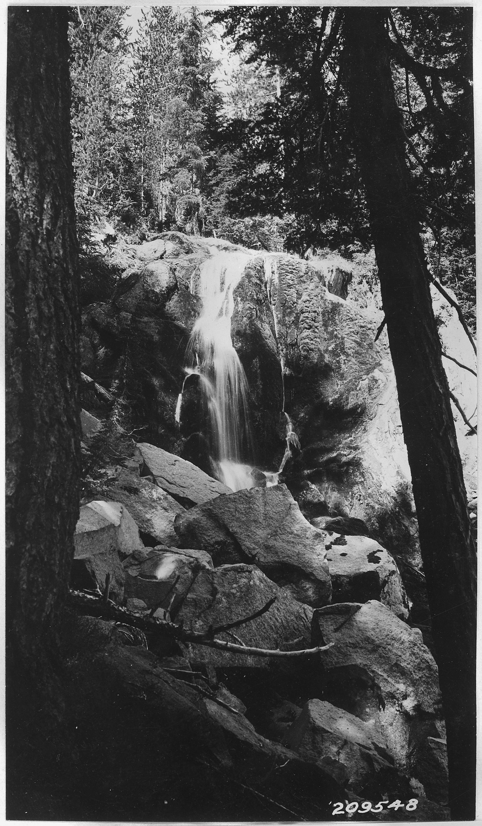
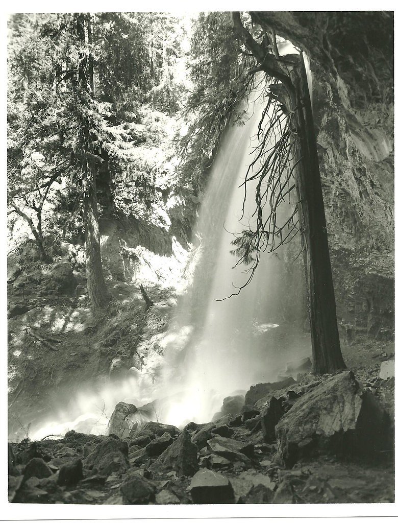
Clover Falls
By Armen Suny · Last verified Mar 2026
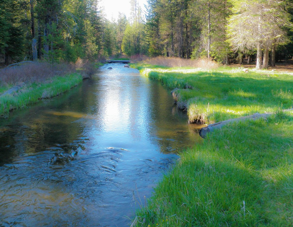
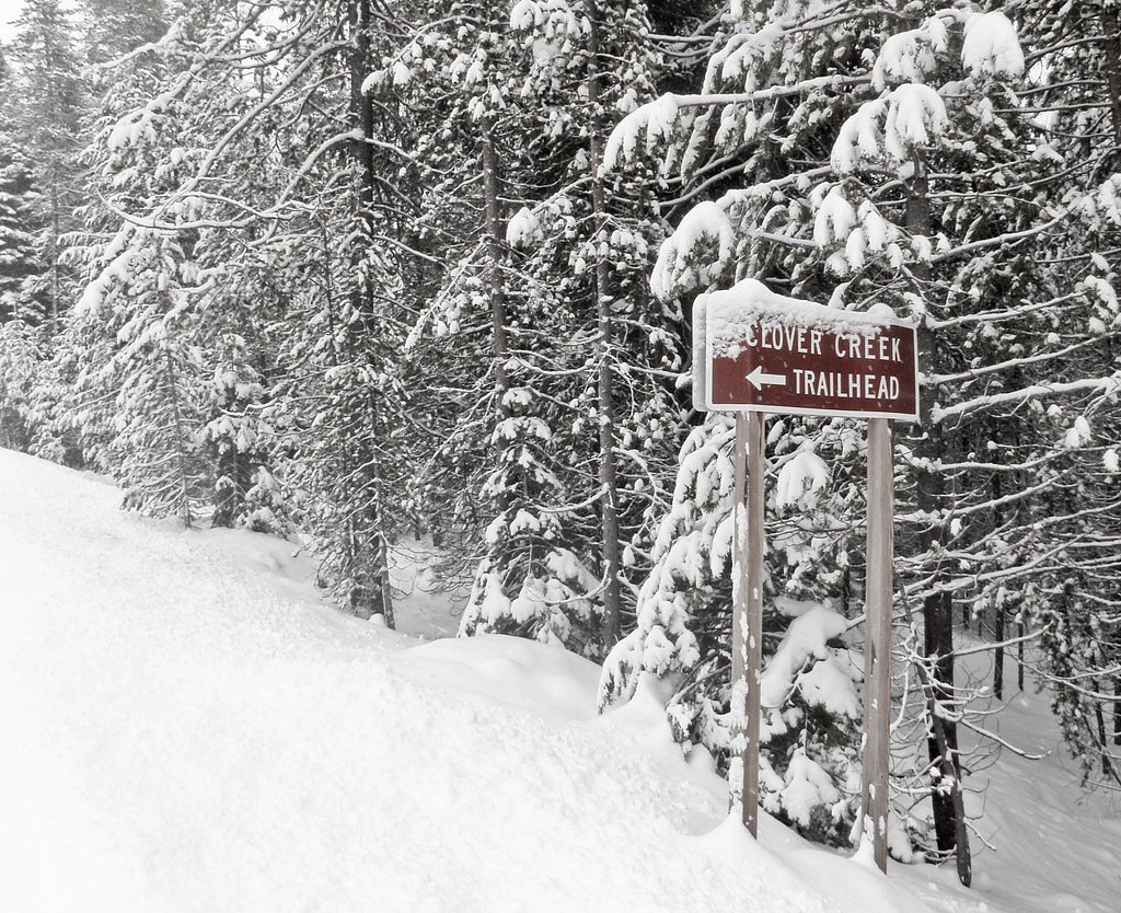
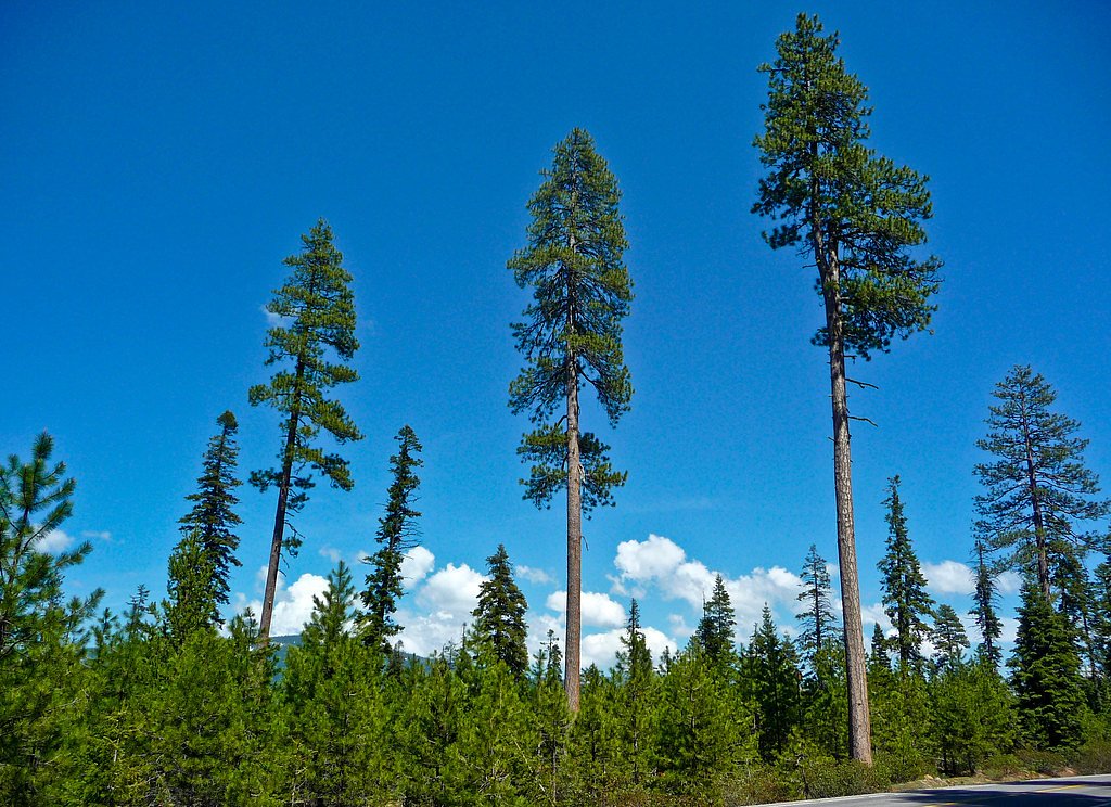
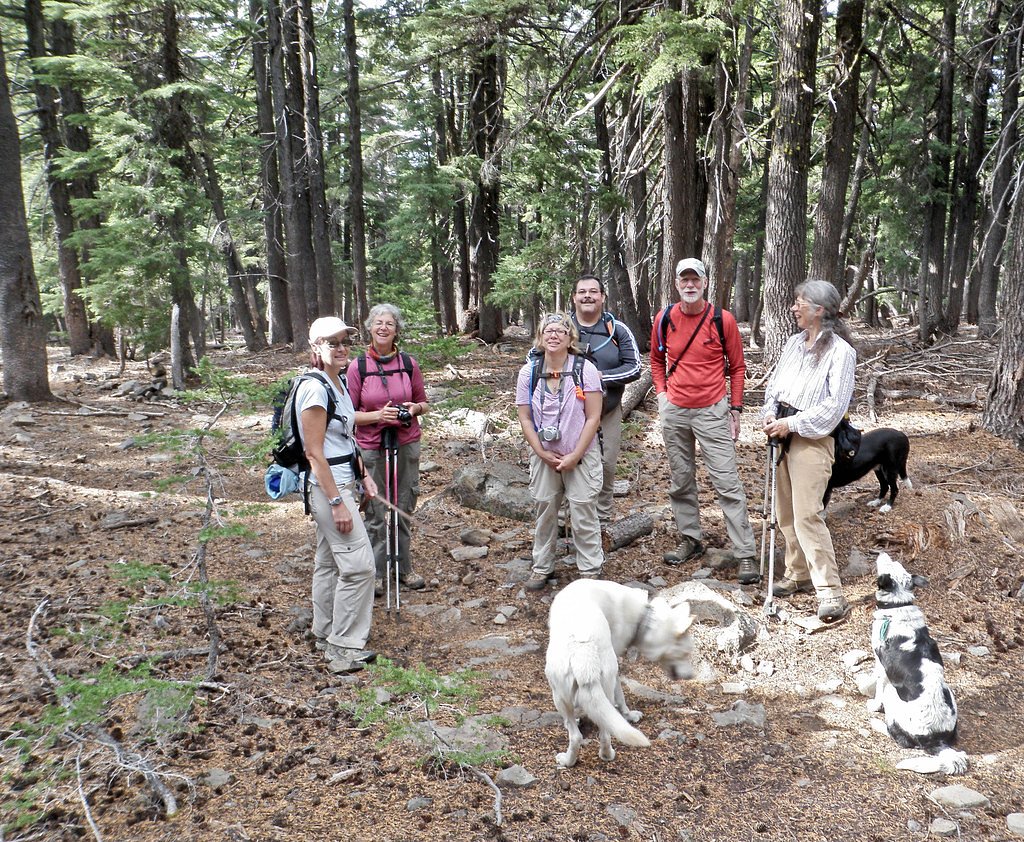
Photo Credits (5)
Difficulty
Moderate
Trail Length
4.0 miles
Trail Type
Out And Back
Elevation Gain
400 ft
About Clover Falls
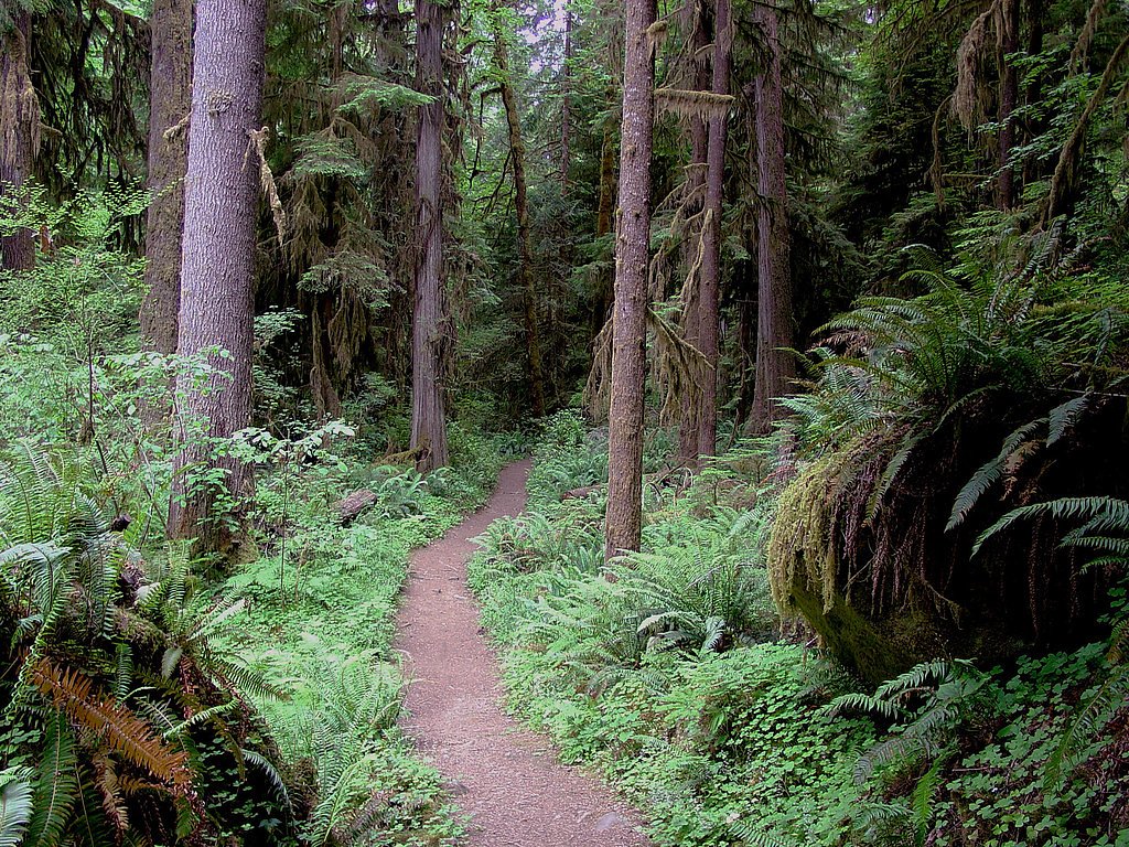
Clover Falls—historically called Upper Hemlock Falls—drops from Hemlock Creek in the heart of the Umpqua National Forest in Douglas County, Oregon. Nestled north of Hemlock Lake and its campground, this lush cascade sits on USFS-managed land and is typically accessed from the Lake in the Woods Campground. The area is part of a privileged stretch of creek where Hemlock Creek and nearby streams form a cluster of falls; Hemlock Falls, Yakso Falls, and Tributary Falls all lie within about a mile, making this a rewarding stop for waterfall collectors. The setting is quintessential Oregon forest: mossy banks, tall conifers, and the steady voice of running water. Clover Falls is ideal for a short outing from nearby campgrounds or as one highlight on a longer day exploring the Umpqua’s cascades—bring a camera and waterproof footwear, as the approach threads close to the creek and can be damp underfoot.
The Setting
Clover Falls sits at 3,576 feet within Umpqua National Forest, fed by the Steamboat Creek, in the mountains of Oregon.
Nearby Falls Worth Visiting
Hemlock Falls (90 ft) lies 1.0 miles to the northwest. Also nearby: Yakso Falls (70 ft, 1.3 mi) and Grotto Falls (25 ft, 6.1 mi).
Trail & Hike Details
The Approach
The moderate hike follows Nfst 2700499 (#T2700499), a 4.0-mile out-and-back trail over natural surface. Expect 400 feet of elevation gain with grades of 12-20%. The trail is moderately developed (Class 2).
USFS Trail
NFST-2700499 #T2700499
Trail Class
Moderately Developed
Surface
Avg Grade
USFS Segment
0.12 miTrail Description
The signed spur to Clover Falls is maintained as USFS Trail NFST-2700499 (Trail #T2700499). According to USFS data this segment is Class 2 with a native-material surface and a typical grade of 12–20%; the recorded GIS length for the NFST-2700499 segment is 0.12 miles. The longer outing to reach the area is commonly described as an out-and-back of about 4.0 miles total with roughly 400 feet of elevation gain, rated moderate; expect uneven native tread and short, fairly steep pitches consistent with the listed grade.
What to Expect
Dogs are welcome.
Accessibility
The trail is not wheelchair accessible. Uneven terrain and elevation changes require steady footing.
Frequently Asked Questions
🐶 Are Dogs Allowed at Clover Falls?
✅ Dogs are allowed
Are There Any Fees or Permits Required?
🤑 Fee: $5.00
🏊 Is There Swimming at Clover Falls?
❌ Swimming is not allowed
When to Visit
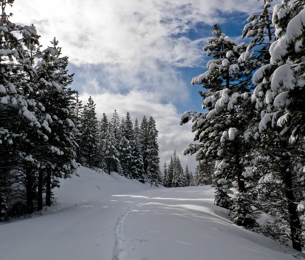
Spring and early summer are ideal times to visit, as the waterfall flow is strongest due to snowmelt. Fall offers beautiful foliage, while winter may bring snow and icy conditions.
Seasonal Access
The best time to visit is Spring, Summer, and Fall. Winter access may be limited. Check with Umpqua National Forest for seasonal road closures.
Safety Information
Be cautious of slippery rocks near the waterfall. Check weather conditions before your visit, as the trail can become hazardous during heavy rain or snow. Always stay on marked trails to avoid getting lost.
Current Water Conditions
37 ft³/s
Current discharge — how much water is flowing
Much lower than usual for this time of year
Based on 69 years of record
0.15 ft
Water depth at gauge
74°F
ComfortablePleasant for swimming
7-Day Discharge Trend
What does this mean for your visit?
Flow is well below normal for this time of year, so the waterfall may be a trickle. The water is a comfortable 74 degrees F, pleasant for swimming.
About This Gauge
This gauge is on a nearby waterway and may not reflect exact conditions at the falls.
7-Day Flow Outlook
Based on the USGS gauge STEAMBOAT CREEK NEAR GLIDE, OR (16 km away).
Today
Barely Flowing
37 cfs
5/10Tomorrow
Barely Flowing
36 cfs
5/10Thu
Low
41 cfs
3/10Fri
Low
38 cfs
6/10Sat
Barely Flowing
35 cfs
5/10Sun
Barely Flowing
34 cfs
5/10Mon
Barely Flowing
34 cfs
5/10Best window: Fri — low flow, sunny (trip score 6/10).
Best time of year: this gauge typically runs highest from mid March to mid April, peaking in January.
How we calculate this
This is a transparent outlook, not a precise forecast. We take the waterfall's current flow strength (how it ranks against its historical normal for today, from the nearest USGS stream gauge), carry that ranking forward along the gauge's seasonal curve, and nudge it for forecast rain. Confidence is highest for the next day or two and falls further out. Always check official conditions and your own judgment before visiting — high flows can be dangerous.
Know when to go.
Get a free email alert when waterfalls near Glide hit peak flow. We only send when conditions are worth the trip — no weekly newsletters, no spam.
Weather Forecast
Location & Access
Getting There
Clover Falls is accessible via the McKenzie River Trail, which is located off Highway 126 in the Willamette National Forest. The trailhead can be reached by car, and signage for the McKenzie River Trail is typically visible.
Get Directions on Google MapsParking
Parking is available at designated trailheads along the McKenzie River Trail. Availability may vary depending on the season and time of day.
Elevation
3,576 feet above sea level
Coordinates
43.206020° N, -122.715830° W
Land Management
Managed by USFS
Visitor Tips & Gear
Start early in the day to avoid crowds, especially during peak seasons. Wear sturdy hiking shoes as the trail can be uneven and muddy in places. Bring plenty of water and snacks, as there are no facilities along the trail.
As an Amazon Associate, we earn from qualifying purchases.
With 4.0 miles and 400 ft of elevation gain, sturdy boots and trekking poles will help on this moderate trail. Sun exposure on the trail makes good sun protection a must in summer.

Polarized Sunglasses (Knockaround)
Cuts glare off the water so you actually see the falls — and your photos turn out better too.

Columbia Watertight II Rain Jacket
Packs into its own pocket, seam-sealed, and keeps you dry from spray and surprise rain.

Earth Pak Waterproof Dry Bag
Keeps your phone and gear dry when waterfall mist soaks everything else.

Waterproof Phone Pouch (AiRunTech)
Cheap insurance — take photos right next to the falls without killing your phone.

Timberland Euro Sprint Mid Waterproof
Trusted waterproof boot with premium leather and grippy rubber sole — reliable on rocky, wet trails.

TrailBuddy Trekking Poles
Lightweight aluminum, cork grips, and flip-locks that actually hold — a best-seller for good reason.
Where to Stay

Umpqua's Last Resort - Wilderness Cabins, RV Park & Glamping

Hampton Inn & Suites Roseburg

Terraluna Inn

Holiday Inn Express & Suites Roseburg North by IHG
Browse vacation cabins and private rentals nearby
Unique outdoor stays — tents, yurts, and treehouses
Rent a campervan or RV for your waterfall road trip
Some links are affiliate links. We may earn a commission at no extra cost to you.
Nearby Campground
HORSESHOE BEND CAMPGROUND (OR)
7.2 miles away · 25 sites
Overview Horseshoe Bend Campground is situated in a stand of old growth Douglas fir, sugar pine, and deciduous trees, on the banks of the Wild & Scenic North Umpqua River. The campground offers the perfect setting for families, anglers, whitewater enthusiasts, and anyone who wants to escape and relax in their natural surroundings. Recreation Horseshoe Bend Campground is in a prime location for many outdoor activities including hiking, fly fishing, mountain biking, swimming, and whitewater rafting
Book on Recreation.govNearby Hot Springs
Hot springs near Glide, Oregon

Umpqua Hot Springs
Umpqua Hot Springs flows at 117°F from multiple geothermal sources along the North Umpqua River in Lane County, forming cascadi...
Kitson Hot Springs
Kitson Hot Springs flows at 109°F within Willamette National Forest at 1,664 feet elevation, positioned just 17 meters from For...

Annie Spring
Annie Spring flows at 77°F within Crater Lake National Park at 5,983 feet elevation, discharging 1.71 cubic feet per second at ...

Mccredie Springs
McCredie Springs flows at 163°F along Salt Creek in the Willamette National Forest, creating one of western Oregon's most popul...
Wall Creek Warm Springs
Wall Creek Warm Springs flows at 106°F deep within Willamette National Forest at 2,362 feet elevation on the western Cascades s...
Looking for a soak after your hike? Explore more hot springs near Glide, Oregon on SoakingSprings.
Explore Oregon springsAdditional Information
Nearby Attractions
Other waterfalls along the McKenzie River Trail, such as Sahalie Falls and Koosah Falls. The McKenzie River itself offers opportunities for fishing and kayaking.
Wildlife
The area is home to a variety of wildlife, including deer, birds, and small mammals. Be cautious of bears and other larger animals, especially during dawn and dusk.
Cities near Clover Falls
Nearby Waterfalls
Writing about Clover Falls? Embed this waterfall on your site for free.