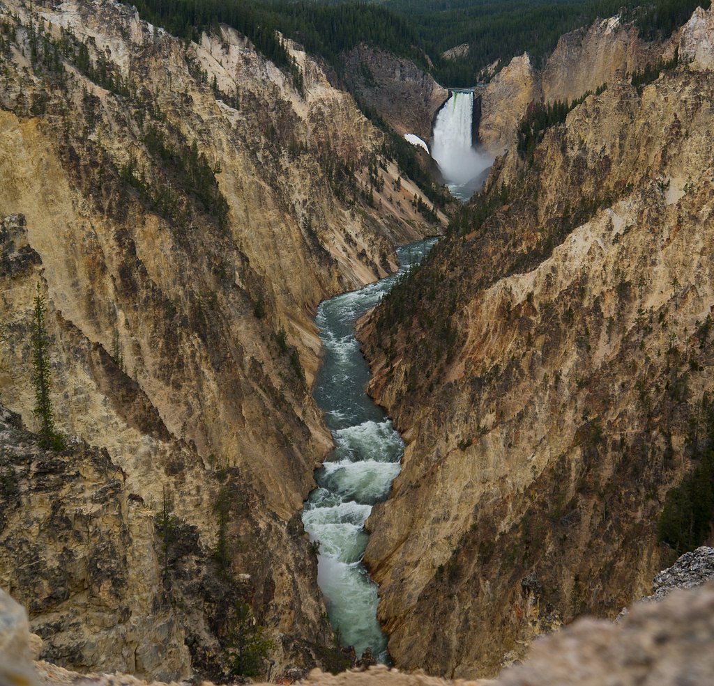
Cliff Creek Falls
By Armen Suny · Last verified Mar 2026
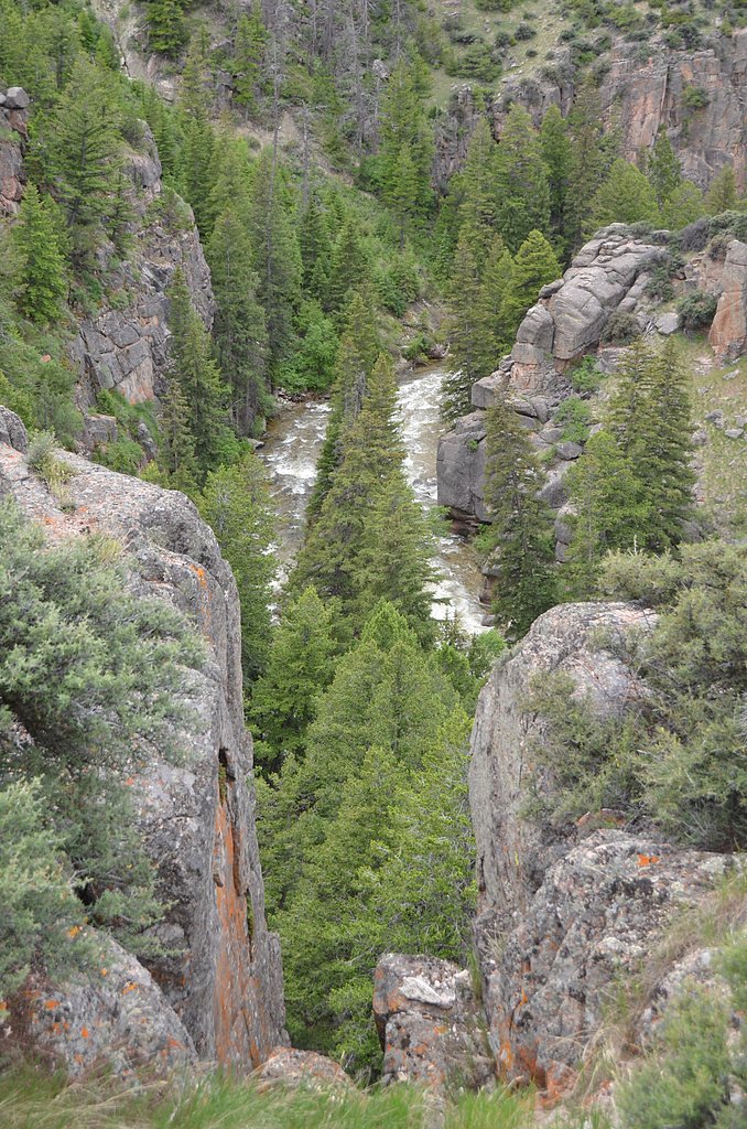
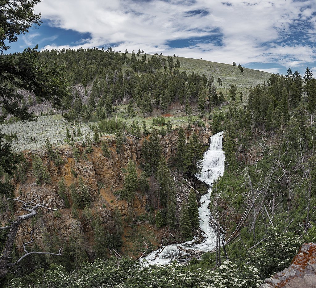
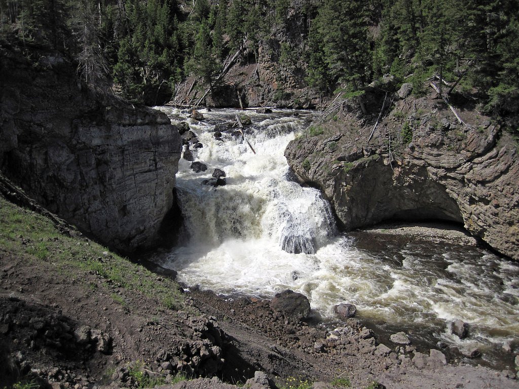
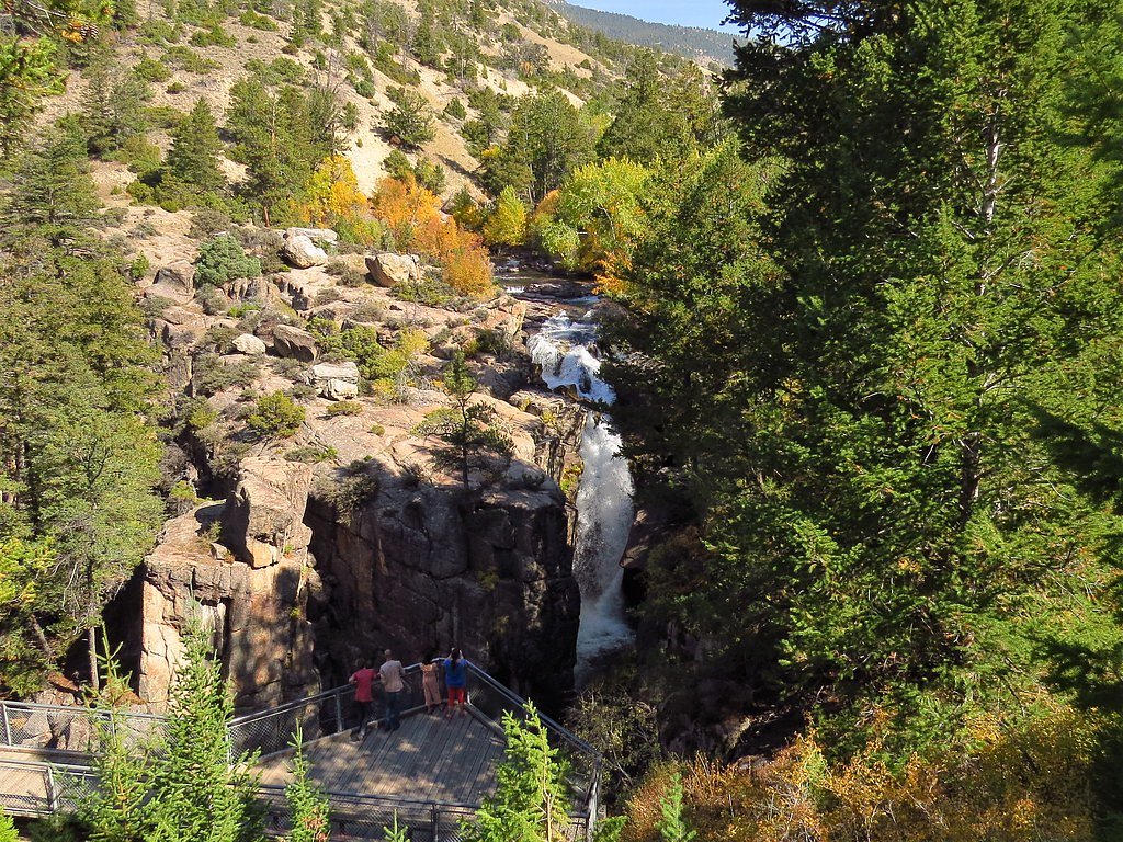
Photo Credits (5)
Difficulty
Moderate
Trail Length
2.5 miles
Trail Type
Out And Back
Elevation Gain
500 ft
About Cliff Creek Falls
Cliff Creek Falls is a picturesque waterfall located in the Bridger-Teton National Forest in Wyoming. It is known for its dramatic drop and scenic surroundings, making it a popular destination for hikers and nature enthusiasts.
The Setting
Cliff Creek Falls sits at 8,278 feet within Teton National Forest, fed by the Hoback River, in the high alpine of Wyoming.
Trail & Hike Details
The Approach
The moderate hike follows Cliff Creek (#2137), a 2.5-mile out-and-back trail over natural surface. Expect 500 feet of elevation gain. The trail is developed (Class 3).
USFS Trail
CLIFF CREEK #2137
Trail Class
Developed
Surface
USFS Segment
0.24 miTrail Description
The trail to Cliff Creek Falls is a moderately challenging hike that follows a well-defined path through forested terrain. It features some elevation gain and may include muddy or rocky sections, especially after rain or snowmelt.
What to Expect
Dogs are welcome.
Accessibility
The trail is not wheelchair accessible. Uneven terrain and elevation changes require steady footing.
Frequently Asked Questions
🐶 Are Dogs Allowed at Cliff Creek Falls?
✅ Dogs are allowed
Are There Any Fees or Permits Required?
🆖 No fees required
🏊 Is There Swimming at Cliff Creek Falls?
❌ Swimming is not allowed
When to Visit
The best time to visit Cliff Creek Falls is late spring through early fall when the trail is most accessible and the waterfall flow is typically at its peak due to snowmelt.
Seasonal Access
The best time to visit is Spring, Summer, and Fall. Access roads and trails may close during winter due to snow. Check with Teton National Forest for seasonal road closures.
Safety Information
Be cautious of slippery rocks near the waterfall and stay on marked trails. Carry bear spray and be aware of wildlife in the area. Check trail conditions before visiting, especially after heavy rain or snow.
Current Water Conditions
931 ft³/s
Current discharge — how much water is flowing
Much lower than usual for this time of year
Based on 19 years of record
6.05 ft
Water depth at gauge
55°F
ColdBracing — limit time in water
7-Day Discharge Trend
What does this mean for your visit?
Flow is well below normal for this time of year, so the waterfall may be a trickle. Water temperature is a bracing 55 degrees F, limit your time in the water.
About This Gauge
This gauge is on a nearby waterway and may not reflect exact conditions at the falls.
7-Day Flow Outlook
Based on the USGS gauge HOBACK RIVER NEAR JACKSON, WY (23 km away).
Today
Barely Flowing
931 cfs
5/10Tomorrow
Low
1038 cfs
3/10Fri
Moderate
1059 cfs
4/10Sat
Moderate
1071 cfs
4/10Sun
Moderate
967 cfs
4/10Mon
Moderate
980 cfs
4/10Tue
Low
812 cfs
6/10Best window: Tue — low flow, sunny (trip score 6/10).
Best time of year: this gauge typically runs highest from late April to late July, peaking in June.
How we calculate this
This is a transparent outlook, not a precise forecast. We take the waterfall's current flow strength (how it ranks against its historical normal for today, from the nearest USGS stream gauge), carry that ranking forward along the gauge's seasonal curve, and nudge it for forecast rain. Confidence is highest for the next day or two and falls further out. Always check official conditions and your own judgment before visiting — high flows can be dangerous.
Know when to go.
Get a free email alert when waterfalls near Bondurant hit peak flow. We only send when conditions are worth the trip — no weekly newsletters, no spam.
Weather Forecast
Location & Access
Getting There
Cliff Creek Falls is accessible via Cliff Creek Road, which is off Highway 191 near Bondurant, Wyoming. The trailhead is located a short drive from the highway, but road conditions may vary depending on the season.
Get Directions on Google MapsParking
There is a small parking area near the trailhead, but space may be limited during peak seasons.
Elevation
8,278 feet above sea level
Coordinates
43.111314° N, -110.581776° W
Land Management
Managed by USFS
Visitor Tips & Gear
Wear sturdy hiking shoes, as the trail can be uneven or slippery in places. Bring plenty of water, especially during warmer months, and consider bug spray during the summer. Check weather and trail conditions before heading out.
This trail sits at 8,278 ft — the air is noticeably thinner
High AltitudeSome visitors experience headaches, fatigue, or shortness of breath at this elevation. Take it slow, stay hydrated, and consider supplemental oxygen if you're coming from a lower altitude.
As an Amazon Associate, we earn from qualifying purchases.

Coppertone Sport SPF 50 Sunscreen
UV intensity jumps ~4% per 1,000 ft — at this elevation you can burn in half the time.

Sun Bum SPF 30 Lip Balm (3-Pack)
Lips have almost no natural UV protection and burn fast in thin, dry mountain air.

Liquid I.V. Electrolyte Packets
You lose moisture ~2x faster at elevation — electrolytes help you absorb water efficiently.

ROCKNIGHT Polarized UV400 Sunglasses
High-altitude glare off rock and water is intense — UV400 lenses block 99%+ of UVA/UVB.

Boost Oxygen 10L Canister (2-Pack)
Portable supplemental oxygen for quick relief from headaches and shortness of breath.

Altitude Rx OxyBoost Complex
Antioxidant formula designed to support your body's natural altitude acclimation.
As an Amazon Associate, we earn from qualifying purchases.
With 2.5 miles and 500 ft of elevation gain, sturdy boots and trekking poles will help on this moderate trail. Sun exposure on the trail makes good sun protection a must in summer.

Polarized Sunglasses (Knockaround)
Cuts glare off the water so you actually see the falls — and your photos turn out better too.

Columbia Watertight II Rain Jacket
Packs into its own pocket, seam-sealed, and keeps you dry from spray and surprise rain.

Earth Pak Waterproof Dry Bag
Keeps your phone and gear dry when waterfall mist soaks everything else.

Waterproof Phone Pouch (AiRunTech)
Cheap insurance — take photos right next to the falls without killing your phone.

Timberland Euro Sprint Mid Waterproof
Trusted waterproof boot with premium leather and grippy rubber sole — reliable on rocky, wet trails.

TrailBuddy Trekking Poles
Lightweight aluminum, cork grips, and flip-locks that actually hold — a best-seller for good reason.
Where to Stay

Cobblestone Hotel & Suites - Alpine

Alpine Recharge by KABINO Huge Views Hot tub Garage PS3 WiFi Loft

Flying Saddle Resort and Steak House

Wolf Den Log Cabin Motel and RV Park
Browse vacation cabins and private rentals nearby
Unique outdoor stays — tents, yurts, and treehouses
Rent a campervan or RV for your waterfall road trip
Some links are affiliate links. We may earn a commission at no extra cost to you.
Nearby Campground
MCCAIN CABIN
6.8 miles away · 2 sites
Overview McCain Guard Station is a rustic cabin that is popular year-round. In summer, hikers and horseback riders frequent the cabin, and snowmobile enthusiasts make use of the cabin throughout the winter. Several trails are nearby, and the open meadows offer gentle sledding for younger riders. Winter access in by snowmobile only on a groomed trail.Constructed in 1933 by the Civilian Conservation Corps (CCC), the cabin welcomes guests to experience the rustic getaway with impressive scenery. Re
Book on Recreation.govNearby Hot Springs
Hot springs near Bondurant, Wyoming

Astoria Mineral Hot Springs
Astoria Mineral Hot Springs flows at 99°F from a roadside location 75.9 meters from West Johnny Counts Road in Teton County, Wy...
Granite Falls Hot Springs
This Forest Service-maintained spring produces 112-degree Fahrenheit water at 6,882 feet elevation, accessible via 625-foot wal...

Granite Hot Spring
This spring produces 106-degree Fahrenheit water at 7,035 feet elevation on Forest Service land, emerging 750 feet from the roa...

Kelly Warm Spring
Kelly Warm Spring flows at 81 degrees Fahrenheit just 108 meters from Gros Ventre Road at 6,684 feet elevation in Grand Teton N...

Abercrombie Warm Springs
Abercrombie Warm Springs flows at 81°F within Grand Teton National Park, requiring a 104-meter walk from Warm Springs Road. The...
Alpine Warm Spring
Alpine Warm Spring emerges at 99°F near Hoback at 5,580 feet elevation, maintaining water 55.6°F above ambient in mountain terr...
Looking for a soak after your hike? Explore more hot springs near Bondurant, Wyoming on SoakingSprings.
Explore Wyoming springsAdditional Information
Nearby Attractions
Nearby attractions include the Bridger-Teton National Forest, Granite Hot Springs, and the town of Jackson, Wyoming.
Wildlife
The area is home to a variety of wildlife, including deer, elk, and occasionally bears. Visitors should exercise caution and carry bear spray.
Cities near Cliff Creek Falls
Writing about Cliff Creek Falls? Embed this waterfall on your site for free.