Clay Creek Falls
By Armen Suny · Last verified May 2026
Difficulty
Moderate
Trail Length
2.4 miles
Trail Type
Out And Back
Elevation Gain
350 ft
About Clay Creek Falls
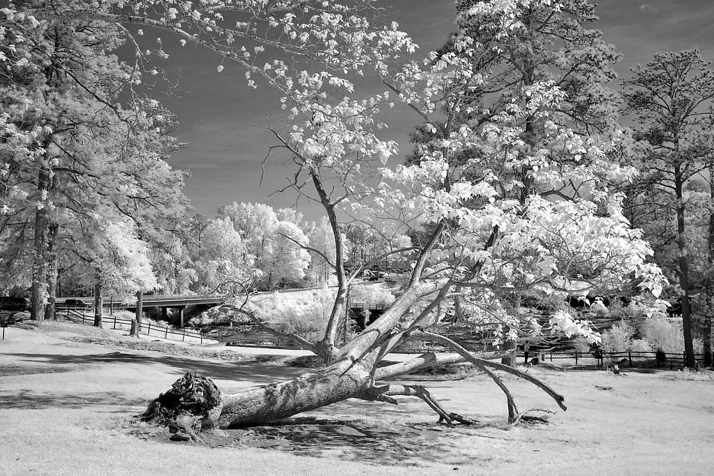
Clay Creek Falls is a petite, picturesque cascade tucked into a peaceful, forested setting in Georgia. The falls are popular with day hikers and photographers for their serene ambiance and relatively easy approach; the short route frames the cascade with mature trees and natural rock features, making it a rewarding outing without a long commitment. Access to the falls is via a 2.4-mile out-and-back hike that gains about 350 feet and is commonly rated as moderate. The hike is well suited to those who enjoy a brisk woodland walk rather than a rugged scramble. Note that the nearest campground (Thompson Creek Park Shelter) is roughly 20.6 km away, so most visitors treat Clay Creek Falls as a day hike rather than a camping destination.
The Setting
Clay Creek Falls sits at 1,260 feet along the Chestatee River, in the foothills of Georgia.
Trail & Hike Details
The Approach
The moderate 2.4-mile out-and-back trail gains 350 feet of elevation on the way to the falls.
Trail Description
Trail type: out-and-back. Distance: 2.4 miles round-trip. Elevation gain: ~350 feet. Difficulty: Moderate. The trail to Clay Creek Falls follows a wooded route with a steady, moderate grade—short but with enough uphill to make the outing feel like a proper hike. The path leads directly toward the stream and waterfall; while not long, hikers should be prepared for typical uneven forest terrain and wear sturdy footwear. No specific USFS trail number, surface classification, or technical class data are provided for this route.
What to Expect
Dogs are welcome.
Accessibility
The trail is not wheelchair accessible. Uneven terrain and elevation changes require steady footing.
Frequently Asked Questions
🐶 Are Dogs Allowed at Clay Creek Falls?
✅ Dogs are allowed
Are There Any Fees or Permits Required?
🆖 No fees required
🏊 Is There Swimming at Clay Creek Falls?
❌ Swimming is not allowed
When to Visit
Spring and fall are the best times to visit due to pleasant weather and vibrant foliage. The waterfall may have reduced flow during dry summer months.
Seasonal Access
The best time to visit is Spring, Summer, and Fall. Winter access may be limited.
Safety Information
Be cautious of slippery rocks near the waterfall. Avoid visiting during heavy rain as the trail may become muddy and hazardous.
Current Water Conditions
156 ft³/s
Current discharge — how much water is flowing
Lower than usual for this time of year
Based on 88 years of record
1.16 ft
Water depth at gauge
7-Day Discharge Trend
What does this mean for your visit?
Flow is lower than usual for this time of year.
About This Gauge
7-Day Flow Outlook
Based on the USGS gauge CHESTATEE RIVER NEAR DAHLONEGA, GA (8 km away).
Today
Moderate
178 cfs
4/10Tomorrow
Moderate
183 cfs
4/10Tue
Moderate
185 cfs
4/10Wed
Moderate
192 cfs
4/10Thu
Moderate
169 cfs
8/10Fri
Moderate
167 cfs
4/10Sat
Moderate
180 cfs
4/10Best window: Thu — moderate flow, sunny (trip score 8/10).
Best time of year: this gauge typically runs highest from mid February to early May, peaking in April.
How we calculate this
This is a transparent outlook, not a precise forecast. We take the waterfall's current flow strength (how it ranks against its historical normal for today, from the nearest USGS stream gauge), carry that ranking forward along the gauge's seasonal curve, and nudge it for forecast rain. Confidence is highest for the next day or two and falls further out. Always check official conditions and your own judgment before visiting — high flows can be dangerous.
Know when to go.
Get a free email alert when waterfalls near Dahlonega hit peak flow. We only send when conditions are worth the trip — no weekly newsletters, no spam.
Weather Forecast
Location & Access
Getting There
Clay Creek Falls is located near Dahlonega, Georgia. It can be accessed via Clay Creek Falls Road, which is off Highway 52. The falls are relatively easy to find with proper signage leading to the area.
Get Directions on Google MapsParking
There is a small parking area near the falls, but space may be limited during peak seasons.
Elevation
1,260 feet above sea level
Coordinates
34.537593° N, -84.022133° W
Visitor Tips & Gear
Visit early in the day to avoid crowds, especially during weekends. Wear sturdy shoes as the trail may be muddy after rain.
As an Amazon Associate, we earn from qualifying purchases.
With 2.4 miles and 350 ft of elevation gain, sturdy boots and trekking poles will help on this moderate trail. Sun exposure on the trail makes good sun protection a must in summer.

Columbia Watertight II Rain Jacket
Packs into its own pocket, seam-sealed, and keeps you dry from spray and surprise rain.

Earth Pak Waterproof Dry Bag
Keeps your phone and gear dry when waterfall mist soaks everything else.

Waterproof Phone Pouch (AiRunTech)
Cheap insurance — take photos right next to the falls without killing your phone.

Timberland Euro Sprint Mid Waterproof
Trusted waterproof boot with premium leather and grippy rubber sole — reliable on rocky, wet trails.

TrailBuddy Trekking Poles
Lightweight aluminum, cork grips, and flip-locks that actually hold — a best-seller for good reason.

Polarized Sunglasses (Knockaround)
Cuts glare off the water so you actually see the falls — and your photos turn out better too.
Where to Stay

Quality Inn Dahlonega Near University

Holiday Inn Express & Suites - Dahlonega - University Area by IHG

Comfort Inn & Suites Dahlonega University Area

The Dahlonega Square Hotel
Browse vacation cabins and private rentals nearby
Unique outdoor stays — tents, yurts, and treehouses
Rent a campervan or RV for your waterfall road trip
Some links are affiliate links. We may earn a commission at no extra cost to you.
Nearby Campground
THOMPSON CREEK PARK SHELTER (GA)
12.8 miles away · 1 sites
Overview Thompson Creek Park lies approximately 30 miles north of Buford Dam on Lake Sidney Lanier. The site features beautiful views of the lake as well as excellent access to swimming, picnicking and boating. The lake, name of the poet, Sidney Lanier, is well known for its aqua-blue colored water, spectacular scenery and variety of recreational activities. Each year, approximately 11.8 million people come to visit. Recreation Visitors can access the Laurel Ridge Hiking Trail from multiple locat
Book on Recreation.govAdditional Information
Nearby Attractions
Dahlonega Gold Museum, Amicalola Falls State Park, and the Chattahoochee National Forest.
Wildlife
Visitors may encounter birds, squirrels, and other small woodland creatures.
Cities near Clay Creek Falls
Nearby Waterfalls
Writing about Clay Creek Falls? Embed this waterfall on your site for free.