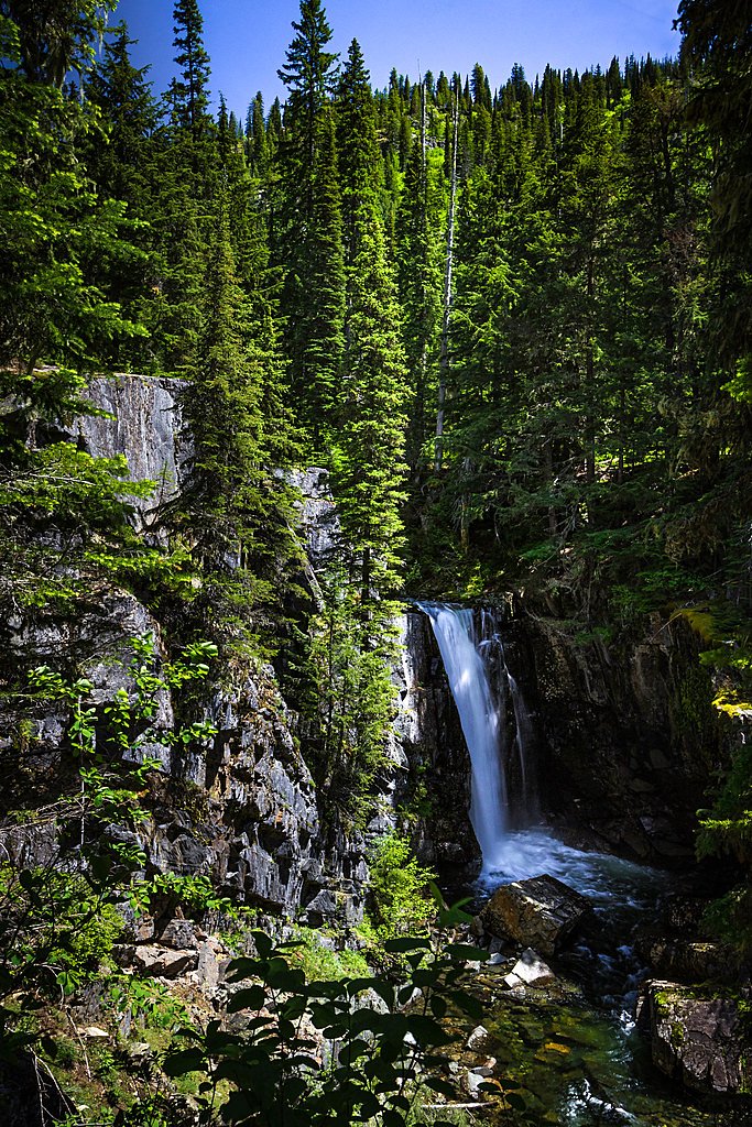
Char Falls
By Armen Suny · Last verified Mar 2026
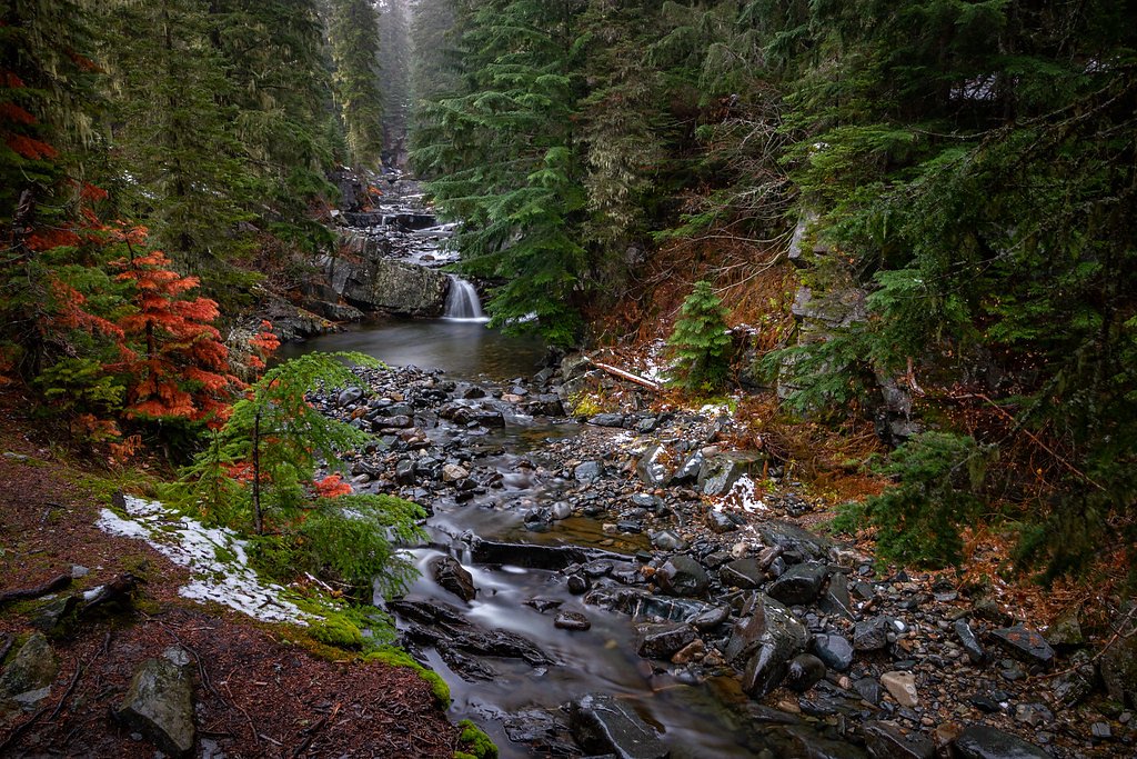
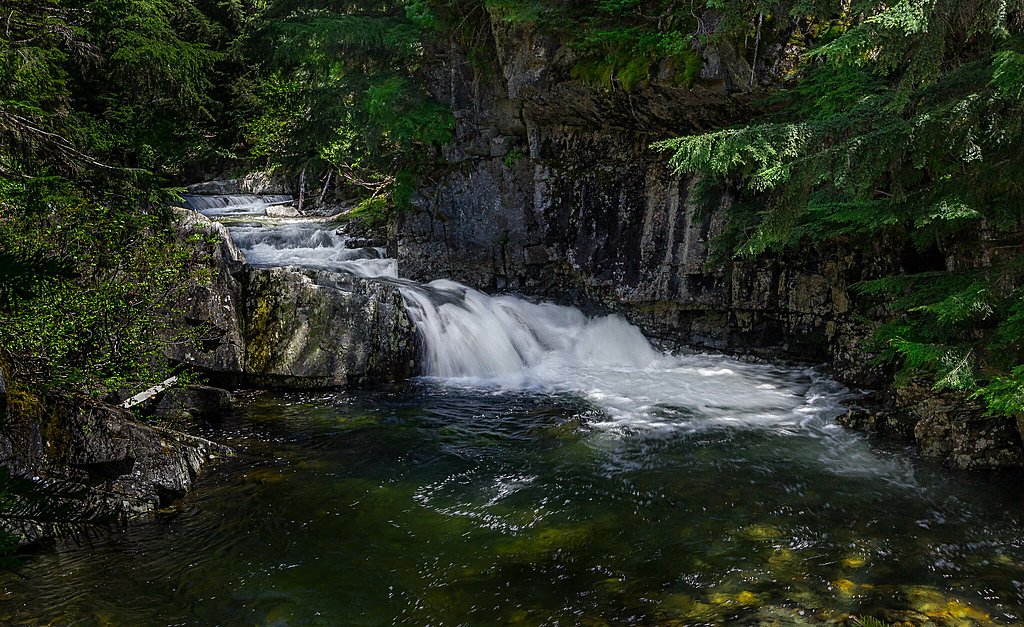
Photo Credits (3)
Difficulty
Moderate
Trail Length
2.4 miles
Trail Type
Out And Back
Elevation Gain
350 ft
About Char Falls
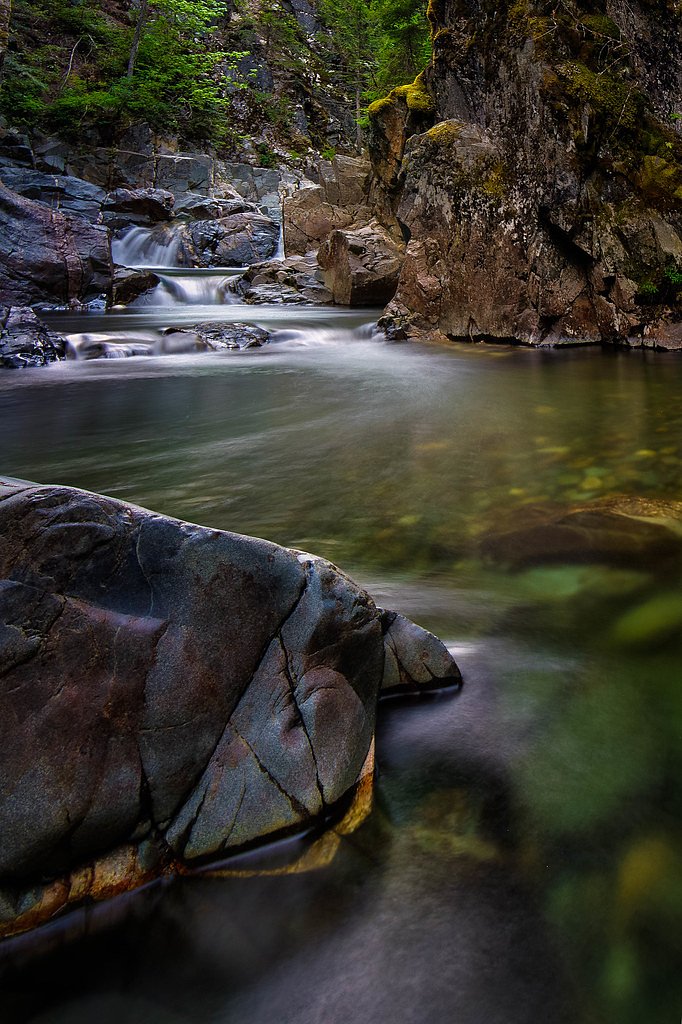
Char Falls sits in a quiet pocket of northern Idaho, offering a peaceful waterfall setting that rewards visitors seeking a less-crowded outdoor escape. The falls are reached via a roughly 2.4-mile out-and-back hike with about 350 feet of elevation gain, making the approach accessible to many hikers while still feeling like a backcountry stroll. The trail winds through forested surroundings to a viewing point near the base of the falls, where mossy rocks and the sound of tumbling water create a serene atmosphere for photography and short picnics. For campers, Lunch Peak Lookout campground is a convenient option just 1.07 km away, making Char Falls an easy day addition to an overnight trip in the area. The setting is popular with nature enthusiasts looking for a peaceful retreat rather than a developed tourist site—pack sturdy footwear and expect a pleasantly natural, wooded approach to the falls.
The Setting
Char Falls sits at 4,134 feet along the Lightning Creek, in the mountains of Idaho.
Trail & Hike Details
The Approach
The moderate 2.4-mile out-and-back trail gains 350 feet of elevation on the way to the falls.
Trail Description
Trail type: out-and-back, length: 2.4 miles (round trip), elevation gain: ~350 ft, difficulty: moderate. The route follows a forested footpath to a viewing point near the base of Char Falls. Overall the grade is relatively gentle for most of the hike, but conditions can become muddy or slippery after rain, so good traction is recommended. Amenities are limited on-trail; nearby camping is available at Lunch Peak Lookout campground about 1.07 km away.
What to Expect
Dogs are welcome.
Accessibility
The trail is not wheelchair accessible. Uneven terrain and elevation changes require steady footing.
Frequently Asked Questions
🐶 Are Dogs Allowed at Char Falls?
✅ Dogs are allowed
Are There Any Fees or Permits Required?
🆖 No fees required
🏊 Is There Swimming at Char Falls?
❌ Swimming is not allowed
When to Visit
Spring and early summer are ideal times to visit, as the waterfall is typically at its fullest due to snowmelt.
Seasonal Access
The best time to visit is Spring, Summer, and Fall. Winter access may be limited.
Safety Information
Visitors should be cautious of slippery rocks near the falls and avoid getting too close to the edge. Cell phone service may be limited in the area.
Current Water Conditions
92 ft³/s
Current discharge — how much water is flowing
Much lower than usual for this time of year
Based on 36 years of record
9.45 ft
Water depth at gauge
7-Day Discharge Trend
What does this mean for your visit?
Flow is well below normal for this time of year, so the waterfall may be a trickle.
About This Gauge
This gauge is on a nearby waterway and may not reflect exact conditions at the falls.
7-Day Flow Outlook
Based on the USGS gauge LIGHTNING CREEK AT CLARK FORK ID (24 km away).
Today
Barely Flowing
102 cfs
3/10Tomorrow
Low
93 cfs
4/10Mon
Low
94 cfs
4/10Tue
Low
83 cfs
4/10Wed
Low
74 cfs
4/10Thu
Barely Flowing
62 cfs
5/10Fri
Barely Flowing
60 cfs
3/10Best window: Thu — barely flowing flow, mostly sunny (trip score 5/10).
Best time of year: this gauge typically runs highest from late March to late June, peaking in May.
How we calculate this
This is a transparent outlook, not a precise forecast. We take the waterfall's current flow strength (how it ranks against its historical normal for today, from the nearest USGS stream gauge), carry that ranking forward along the gauge's seasonal curve, and nudge it for forecast rain. Confidence is highest for the next day or two and falls further out. Always check official conditions and your own judgment before visiting — high flows can be dangerous.
Know when to go.
Get a free email alert when waterfalls near Clark Fork hit peak flow. We only send when conditions are worth the trip — no weekly newsletters, no spam.
Weather Forecast
Location & Access
Getting There
Char Falls is located in the Idaho Panhandle National Forests, near the town of Clark Fork. Access typically involves driving on forest service roads, which may be unpaved and require a high-clearance vehicle, especially during wet conditions.
Get Directions on Google MapsParking
There is a small parking area near the trailhead, but space may be limited. Visitors should plan to arrive early during peak seasons.
Elevation
4,134 feet above sea level
Coordinates
48.366349° N, -116.170757° W
Visitor Tips & Gear
Wear sturdy shoes, as the trail can be muddy. Bring insect repellent during the summer months. Check road conditions before visiting, as forest service roads can be challenging to navigate after heavy rain.
As an Amazon Associate, we earn from qualifying purchases.
With 2.4 miles and 350 ft of elevation gain, sturdy boots and trekking poles will help on this moderate trail. Sun exposure on the trail makes good sun protection a must in summer.

Polarized Sunglasses (Knockaround)
Cuts glare off the water so you actually see the falls — and your photos turn out better too.

Columbia Watertight II Rain Jacket
Packs into its own pocket, seam-sealed, and keeps you dry from spray and surprise rain.

Earth Pak Waterproof Dry Bag
Keeps your phone and gear dry when waterfall mist soaks everything else.

Waterproof Phone Pouch (AiRunTech)
Cheap insurance — take photos right next to the falls without killing your phone.

Timberland Euro Sprint Mid Waterproof
Trusted waterproof boot with premium leather and grippy rubber sole — reliable on rocky, wet trails.

TrailBuddy Trekking Poles
Lightweight aluminum, cork grips, and flip-locks that actually hold — a best-seller for good reason.
Where to Stay

Sandpoint Hotel & Suites Downtown

SpringHill Suites by Marriott Sandpoint

Baby Birch Banks Guest House on Lake Pend Oreille

Sunspot Lodge - Schweitzer Mountain
Browse vacation cabins and private rentals nearby
Unique outdoor stays — tents, yurts, and treehouses
Rent a campervan or RV for your waterfall road trip
Some links are affiliate links. We may earn a commission at no extra cost to you.
Nearby Campground
LUNCH PEAK LOOKOUT
0.7 miles away · 1 sites
Overview Lunch Peak lookout offers breathtaking views of Cabinet Mountain Wilderness, the Selkirk Mountains and Lake Pend Oreille. Located in the Cabinet Mountains, 35 miles northeast of Sandpoint, Idaho, the lookout sits at 6,414 ft. Guests can enjoy easy access to Pend Oreille Divide Trail #67. The lookout is remote and rustic with no heat, furnishings, water or cooking facilities. This basic structure lets visitors experience the feeling of "roughing it" while enjoying the cozy shelter and inc
Book on Recreation.govAdditional Information
Nearby Attractions
The nearby Clark Fork River and Lake Pend Oreille offer additional recreational opportunities, including fishing, boating, and hiking.
Wildlife
The area is home to a variety of wildlife, including deer, birds, and occasionally black bears. Visitors should exercise caution and store food properly.
Cities near Char Falls
Nearby Waterfalls
Writing about Char Falls? Embed this waterfall on your site for free.